Bickleton is an unincorporated community and census-designated place in Klickitat County, Washington, United States. Bickleton was first settled by Charles N. Bickle and established in 1879. The population was 88 at the 2010 census, down from 113 at the 2000 census.
| Name: | Bickleton CDP |
|---|---|
| LSAD Code: | 57 |
| LSAD Description: | CDP (suffix) |
| State: | Washington |
| County: | Klickitat County |
| Elevation: | 3,018 ft (920 m) |
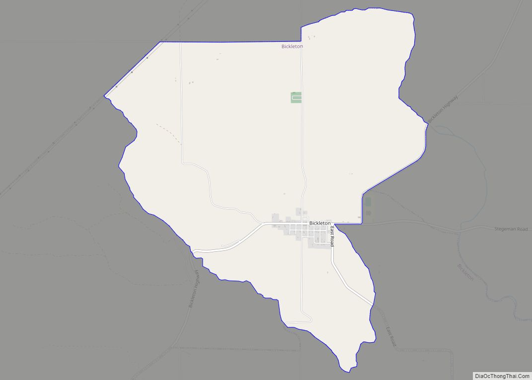
| Total Area: | 4.7 sq mi (12.1 km²) |
| Land Area: | 4.7 sq mi (12.1 km²) |
| Water Area: | 0.0 sq mi (0.0 km²) |
| Total Population: | 88 |
| Population Density: | 18.8/sq mi (7.25/km²) |
| ZIP code: | 99322 |
| Area code: | 509 |
| FIPS code: | 5305980 |
| GNISfeature ID: | 1512007 |
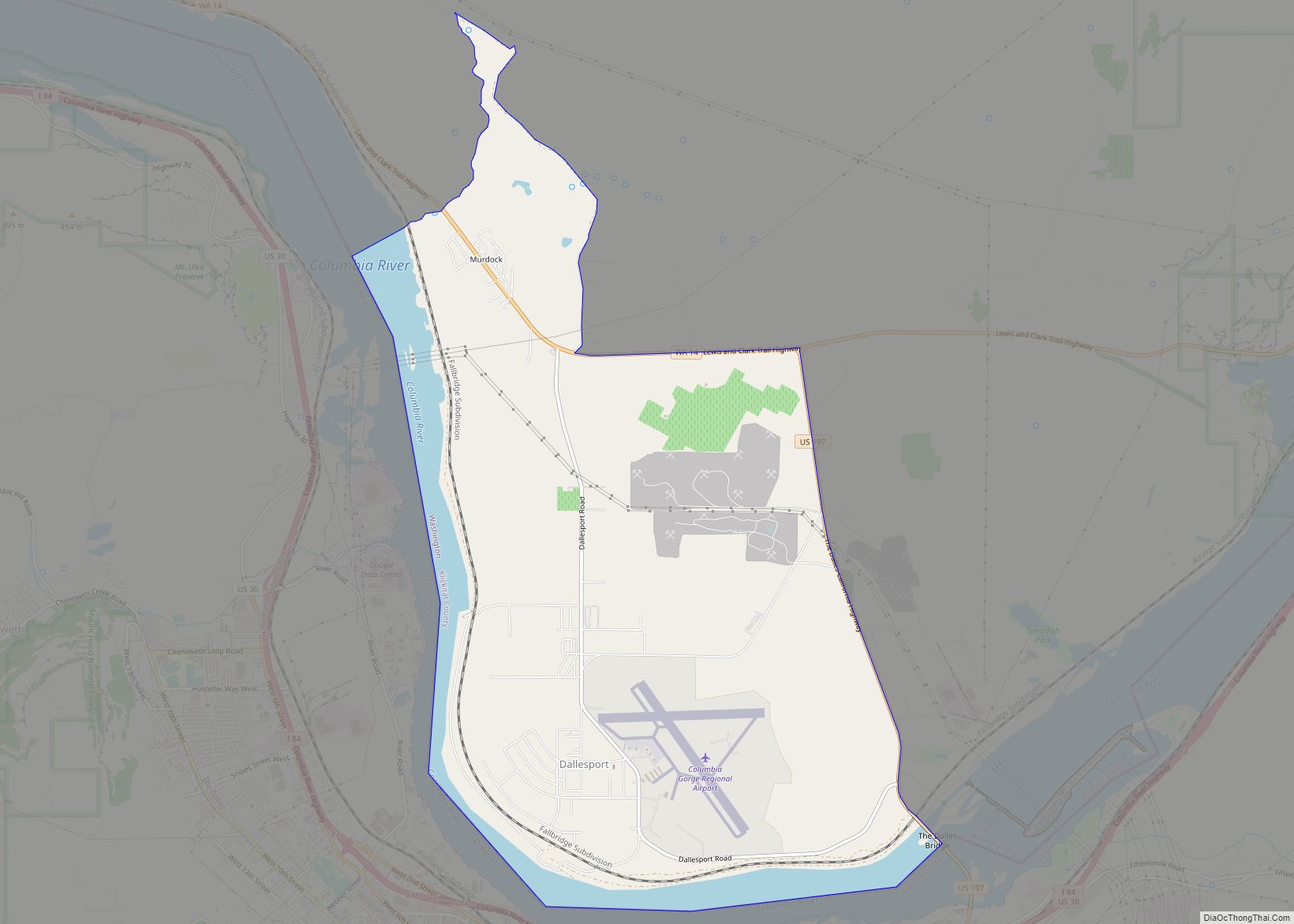
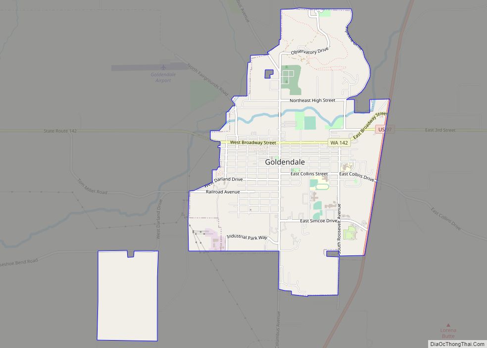
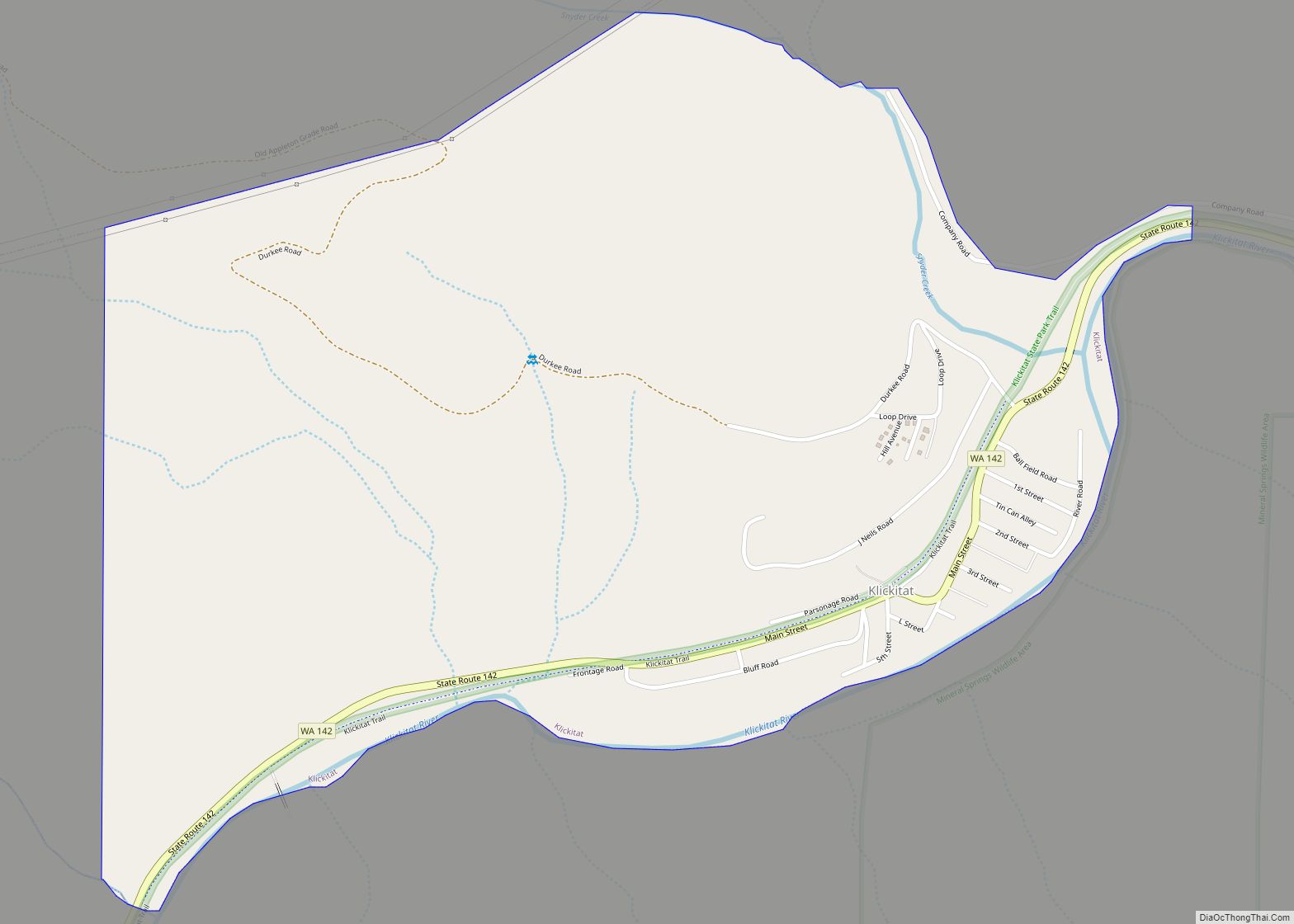
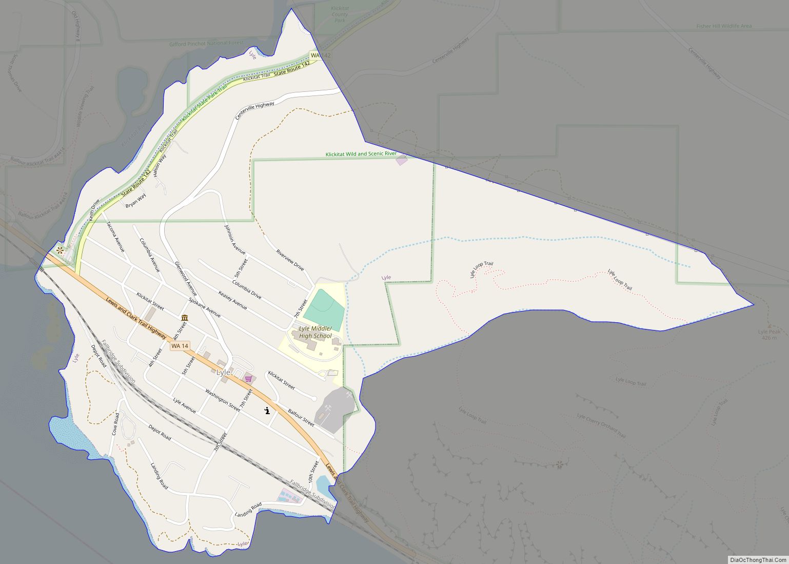
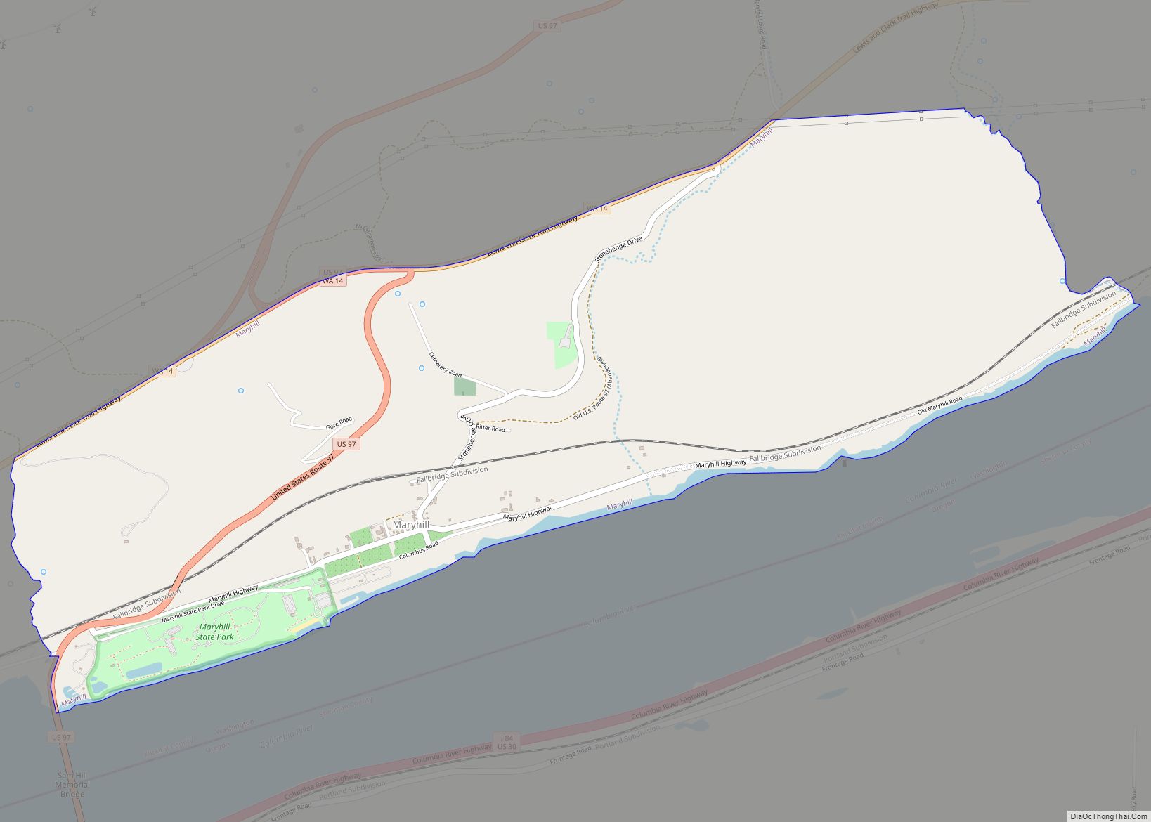
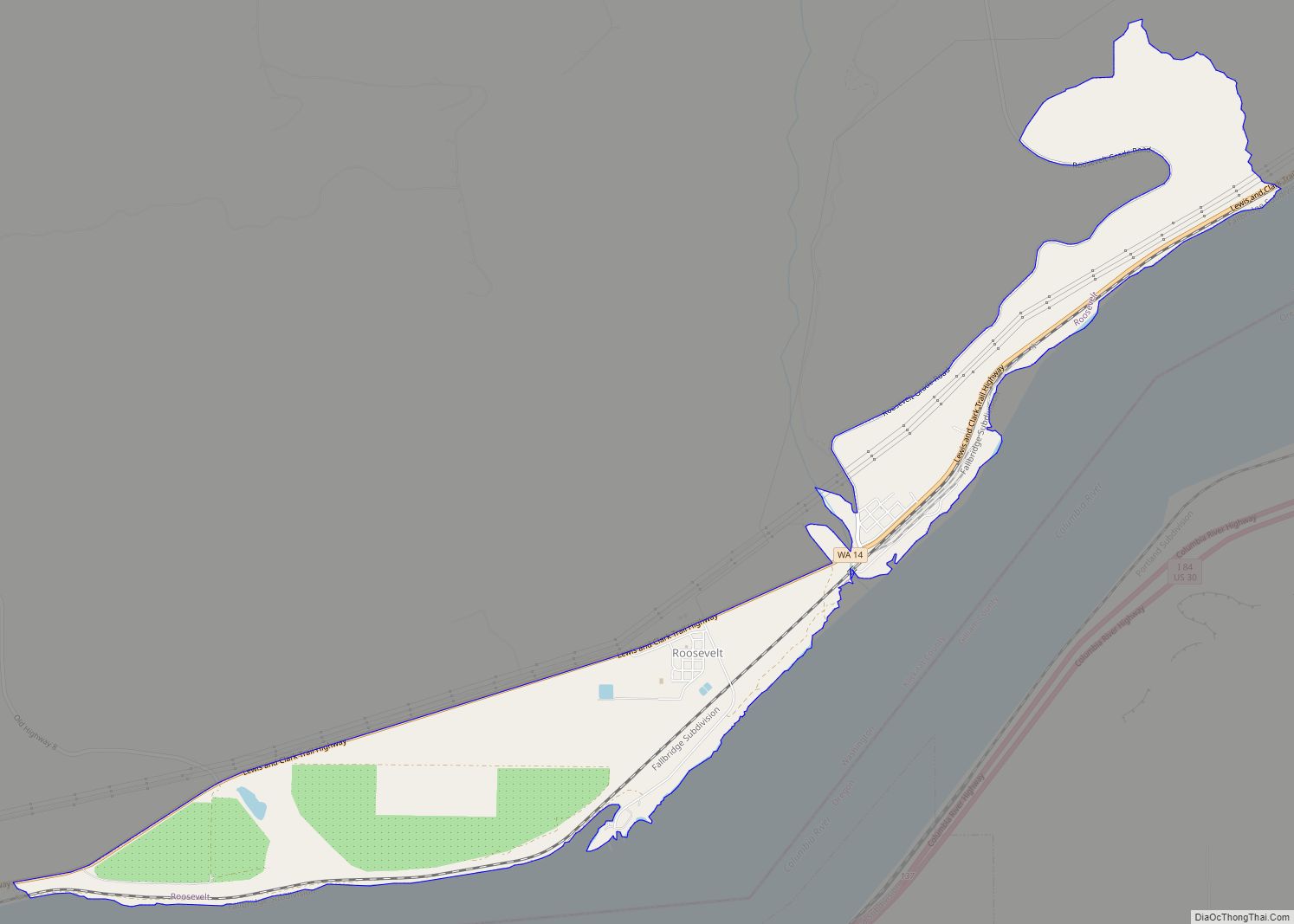
Online Interactive Map
Click on ![]() to view map in "full screen" mode.
to view map in "full screen" mode.
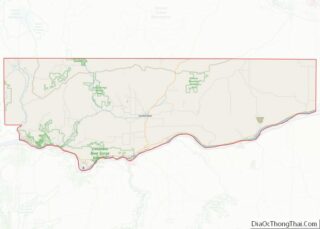
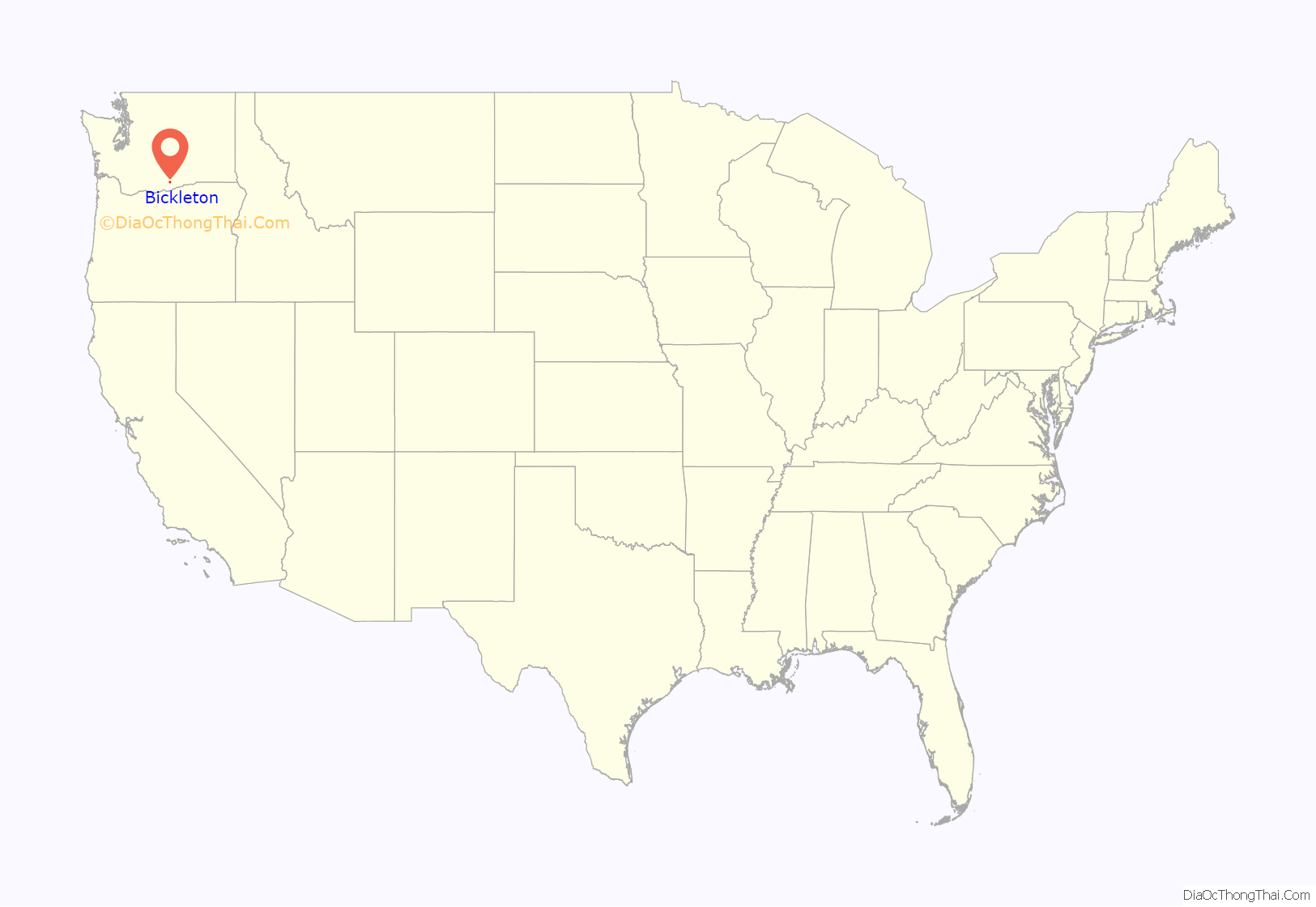
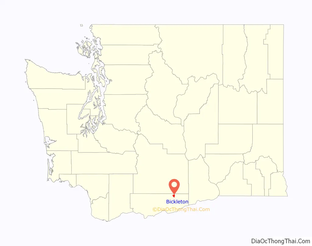
Bickleton location map. Where is Bickleton CDP?
History
Bickleton was first settled by Charles N. Bickle, who established a trading post and livery stable at the site. He also served as the area’s first postmaster. In 1879, the town was named after Bickle. The town’s economy was initially based largely on cattle ranching and wheat farming. A series of fires in 1937 and 1947 destroyed many of the town’s original buildings.
The oldest surviving building in Bickleton is the Bluebird Inn, a tavern which first opened in 1882. It is billed as the oldest functioning tavern in the state, although it has changed ownership numerous times and operated under different names throughout its history. The tavern includes a 1903 Brunswick pool table, which is still used by regulars.
The town has held an annual picnic and rodeo continuously since 1910. The festival also features a 1905 Herschell-Spillman carousel, which the town purchased from Oaks Amusement Park in Portland, Oregon, in 1928.
Bluebirds
Bickleton is known as the bluebird capital of the world. In the 1960s, Jess and Elva Brinkerhoff were picnicking in this small town after coming from nearby Richland and put a can in a tree for some birds. It became a local fad, and now there are thousands of birdhouses purposely built to house bluebirds.
Both the mountain bluebird and the western bluebird nest in Bickleton. Maintaining the houses by cleaning old nests is a major task for the local residents. It is funded by profits from bluebird souvenirs sold to tourists at Whitmore’s Whoop-n-Holler Ranch Museum.
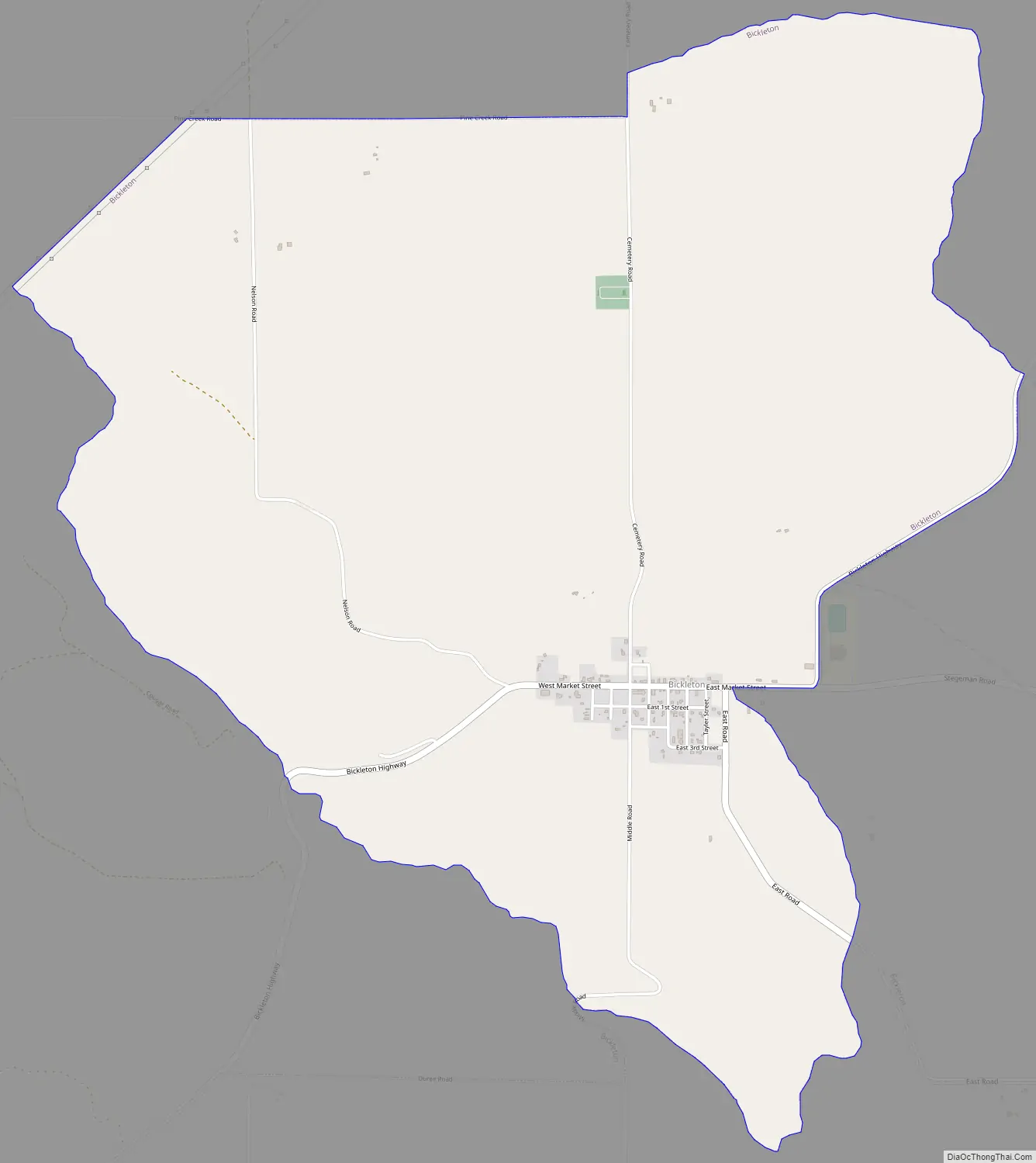
Bickleton Road Map
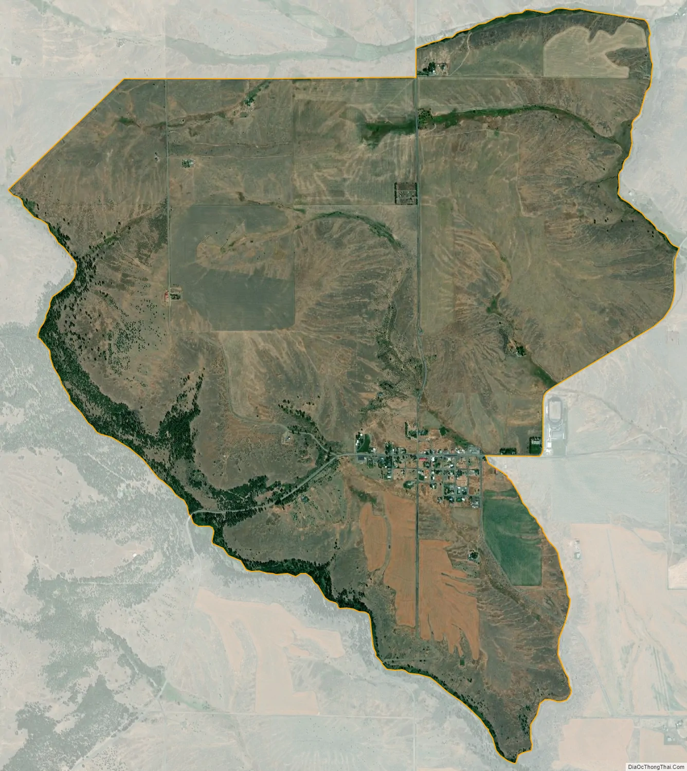
Bickleton city Satellite Map
Geography
Bickleton is in northeastern Klickitat County, south of the Horse Heaven Hills and the Yakama Indian Reservation. It is 66 miles (106 km) west of Kennewick and 22 miles (35 km) north of the Columbia River at Roosevelt.
According to the United States Census Bureau, the Bickleton CDP has a total area of 4.7 square miles (12.1 km), all of it land.
Climate
According to the Köppen Climate Classification system, Bickleton has a warm-summer Mediterranean climate, abbreviated “Csb” on climate maps.
See also
Map of Washington State and its subdivision:- Adams
- Asotin
- Benton
- Chelan
- Clallam
- Clark
- Columbia
- Cowlitz
- Douglas
- Ferry
- Franklin
- Garfield
- Grant
- Grays Harbor
- Island
- Jefferson
- King
- Kitsap
- Kittitas
- Klickitat
- Lewis
- Lincoln
- Mason
- Okanogan
- Pacific
- Pend Oreille
- Pierce
- San Juan
- Skagit
- Skamania
- Snohomish
- Spokane
- Stevens
- Thurston
- Wahkiakum
- Walla Walla
- Whatcom
- Whitman
- Yakima
- Alabama
- Alaska
- Arizona
- Arkansas
- California
- Colorado
- Connecticut
- Delaware
- District of Columbia
- Florida
- Georgia
- Hawaii
- Idaho
- Illinois
- Indiana
- Iowa
- Kansas
- Kentucky
- Louisiana
- Maine
- Maryland
- Massachusetts
- Michigan
- Minnesota
- Mississippi
- Missouri
- Montana
- Nebraska
- Nevada
- New Hampshire
- New Jersey
- New Mexico
- New York
- North Carolina
- North Dakota
- Ohio
- Oklahoma
- Oregon
- Pennsylvania
- Rhode Island
- South Carolina
- South Dakota
- Tennessee
- Texas
- Utah
- Vermont
- Virginia
- Washington
- West Virginia
- Wisconsin
- Wyoming