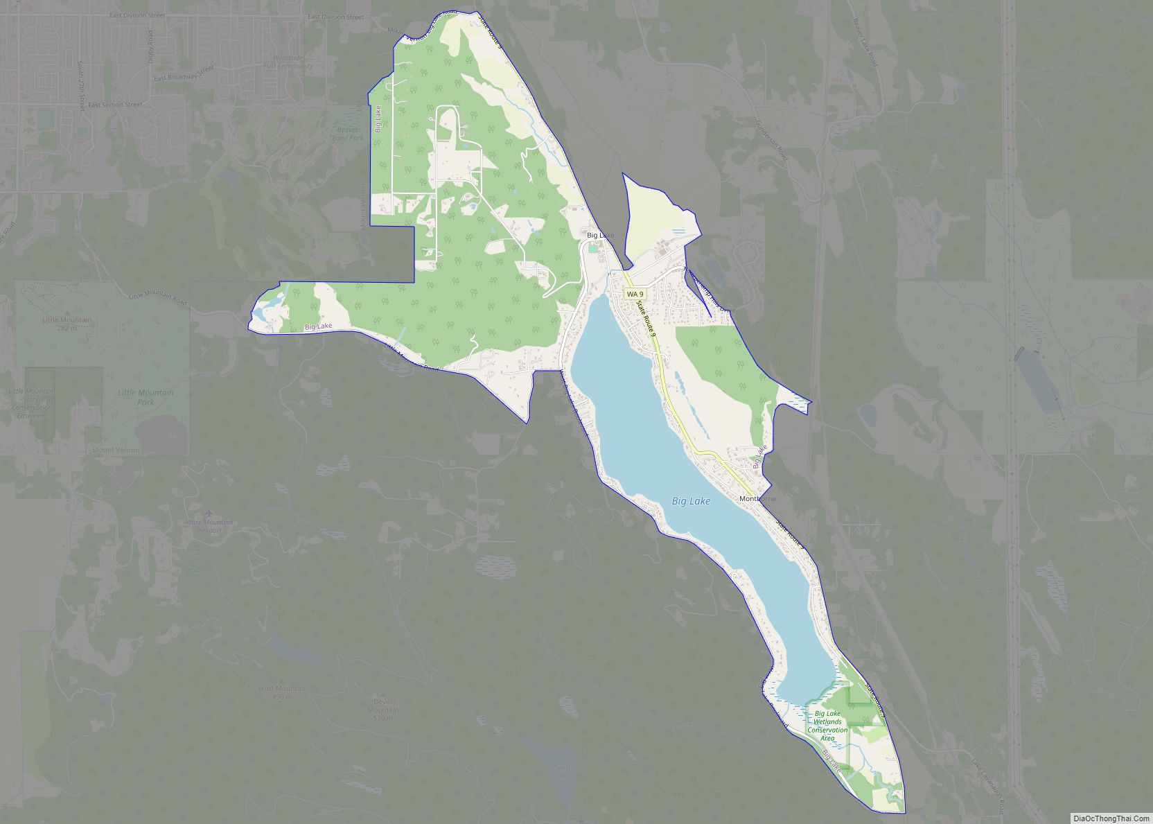
Big Lake is a census-designated place (CDP) in Skagit County, Washington, United States. The population was 1,835 at the 2010 census. It is included in the Mount Vernon–Anacortes, Washington Metropolitan Statistical Area.
Big Lake is an exurban community in a fairly rural setting, although recent years have seen significant suburban development. The area, however, has remained primarily residential. A few notable exceptions include a playable 9-hole golf course on the lake’s east side, a 1950s-themed bar & grill, a quaint community store, and a small (but quickly growing) elementary school. The latter two are located at the historic north end of the lake, once a bustling logging town. A fire destroyed much of the town proper in the early 1900s, and that which was lost was never rebuilt.
Based on per capita income, Big Lake ranks 134th of 522 areas in the state of Washington to be ranked.
| Name: | Big Lake CDP |
|---|---|
| LSAD Code: | 57 |
| LSAD Description: | CDP (suffix) |
| State: | Washington |
| County: | Skagit County |
| Elevation: | 92 ft (28 m) |
| Total Area: | 4.7 sq mi (12.3 km²) |
| Land Area: | 4.0 sq mi (10.2 km²) |
| Water Area: | 0.8 sq mi (2.0 km²) |
| Total Population: | 2,980 |
| Population Density: | 745/sq mi (292.2/km²) |
| FIPS code: | 5306050 |
| GNISfeature ID: | 1510824 |
Online Interactive Map
Click on ![]() to view map in "full screen" mode.
to view map in "full screen" mode.
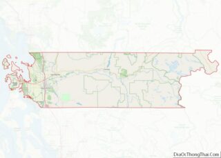
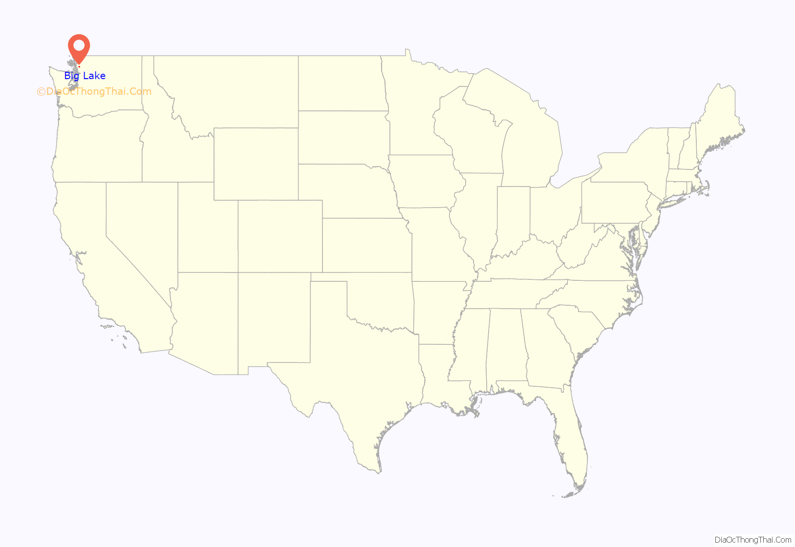
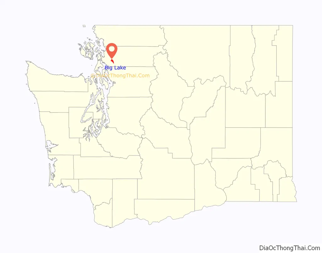
Big Lake location map. Where is Big Lake CDP?
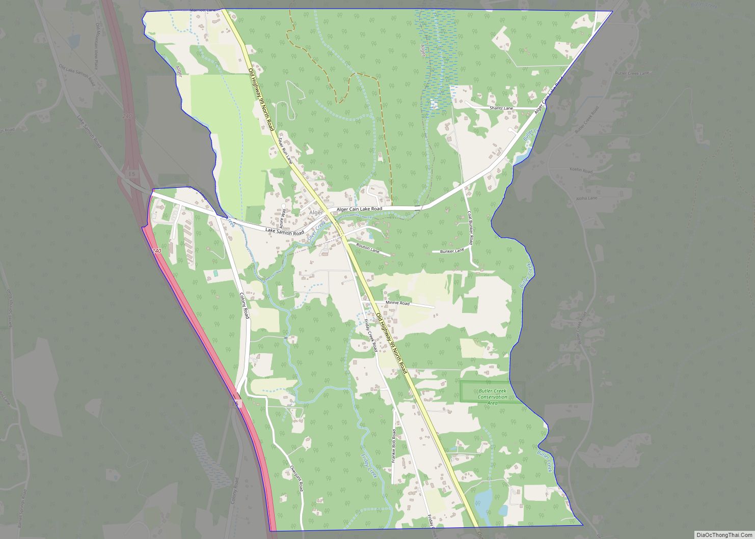
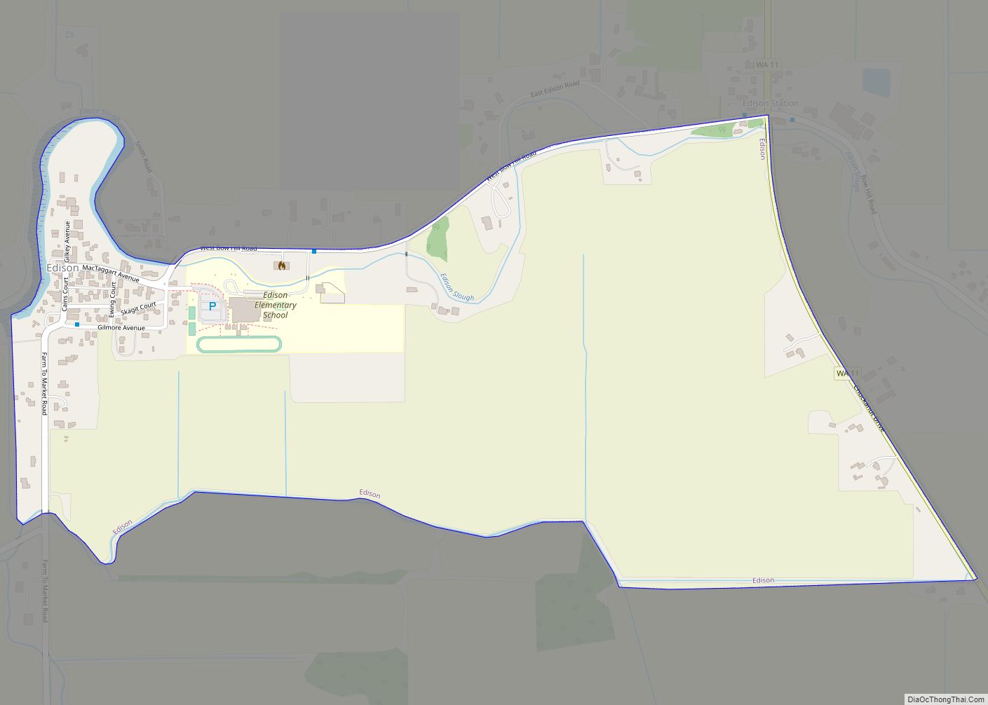
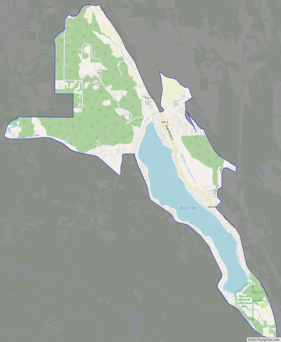
Big Lake Road Map
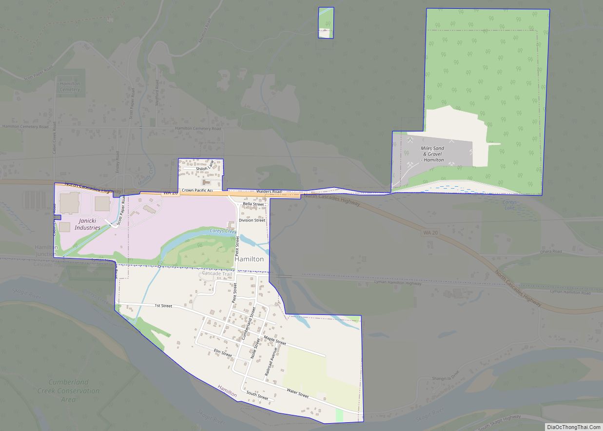
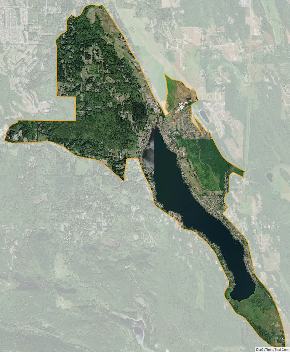
Big Lake city Satellite Map
Geography
Big Lake is located at 48°23′36″N 122°14′11″W / 48.39333°N 122.23639°W / 48.39333; -122.23639 (48.393245, -122.236351).
According to the United States Census Bureau, the CDP has a total area of 4.7 square miles (12.3 km), of which, 4.0 square miles (10.2 km) of it is land and 0.8 square miles (2.0 km) of it (16.46%) is water.
See also
Map of Washington State and its subdivision:- Adams
- Asotin
- Benton
- Chelan
- Clallam
- Clark
- Columbia
- Cowlitz
- Douglas
- Ferry
- Franklin
- Garfield
- Grant
- Grays Harbor
- Island
- Jefferson
- King
- Kitsap
- Kittitas
- Klickitat
- Lewis
- Lincoln
- Mason
- Okanogan
- Pacific
- Pend Oreille
- Pierce
- San Juan
- Skagit
- Skamania
- Snohomish
- Spokane
- Stevens
- Thurston
- Wahkiakum
- Walla Walla
- Whatcom
- Whitman
- Yakima
- Alabama
- Alaska
- Arizona
- Arkansas
- California
- Colorado
- Connecticut
- Delaware
- District of Columbia
- Florida
- Georgia
- Hawaii
- Idaho
- Illinois
- Indiana
- Iowa
- Kansas
- Kentucky
- Louisiana
- Maine
- Maryland
- Massachusetts
- Michigan
- Minnesota
- Mississippi
- Missouri
- Montana
- Nebraska
- Nevada
- New Hampshire
- New Jersey
- New Mexico
- New York
- North Carolina
- North Dakota
- Ohio
- Oklahoma
- Oregon
- Pennsylvania
- Rhode Island
- South Carolina
- South Dakota
- Tennessee
- Texas
- Utah
- Vermont
- Virginia
- Washington
- West Virginia
- Wisconsin
- Wyoming