Castle Rock is a city in Cowlitz County, Washington, United States. Located between the Willapa Hills and the western base of Mount St. Helens, Castle Rock is at the heart of Washington timber country in the Pacific temperate rain forest. Castle Rock is part of the Longview, Washington Metropolitan Statistical Area; the population was 2,446 as of the 2020 census.
| Name: | Castle Rock city |
|---|---|
| LSAD Code: | 25 |
| LSAD Description: | city (suffix) |
| State: | Washington |
| County: | Cowlitz County |
| Incorporated: | June 20, 1890 |
| Elevation: | 59 ft (18 m) |
| Land Area: | 2.10 sq mi (5.42 km²) |
| Water Area: | 0.23 sq mi (0.59 km²) |
| Population Density: | 1,096.90/sq mi (423.60/km²) |
| ZIP code: | 98611 |
| Area code: | 360 |
| FIPS code: | 5310565 |
| GNISfeature ID: | 1512072 |
| Website: | ci.castle-rock.wa.us |
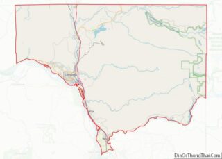
Online Interactive Map
Click on ![]() to view map in "full screen" mode.
to view map in "full screen" mode.
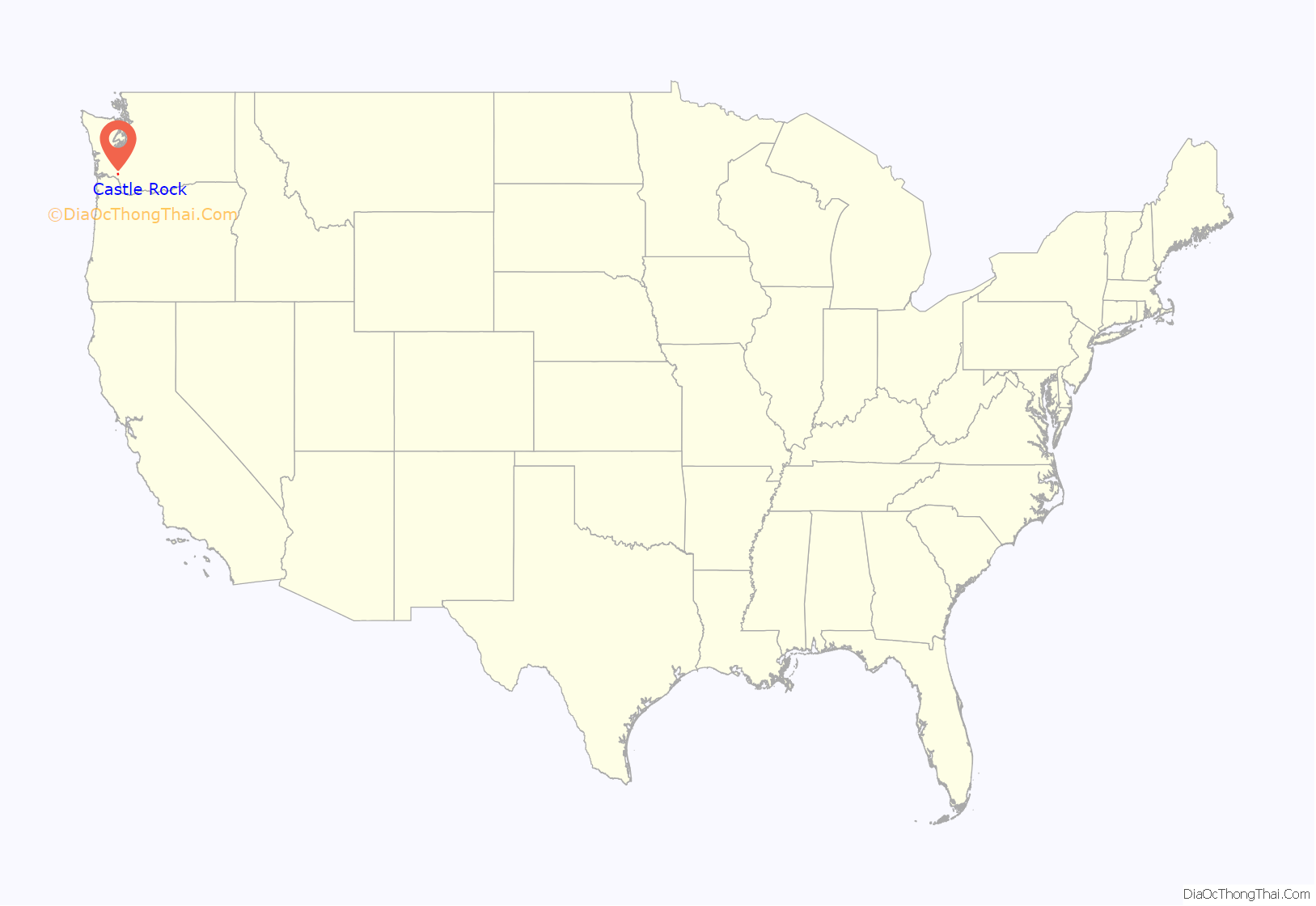
Castle Rock location map. Where is Castle Rock city?
History
Castle Rock is named for a volcanic rock outcropping over the Cowlitz River, “The Rock”, rising 190 feet high on the south side of the city. The rock formation, resembling a castle, became a geographic landmark for Cowlitz Indians and Hudson’s Bay Company traders as early as 1832. Today, it is the location of The Rock Community Park, with hiking trails, picnic tables, and a historical marker.
Castle Rock is centered primarily on the donation land claim of Eliza and William Huntington, who settled at the location in 1852. The city was platted December 12, 1888 and incorporated on June 20, 1890. Castle Rock prospered as a Cowlitz River steamboat port and trading center for valley farms. The local sawmill was the first to produce cedar shingles, using the Western red cedar, which grows in abundance in the region.
By 1940, the population had reached 1,182 and was supported by dairy farming, truck farming, and lumber manufacturing. Sword ferns, common in the region, were picked each year by several hundred people to be processed into medicine. In the spring, large quantities of Cascara Sagrada bark were gathered, dried, and shipped.
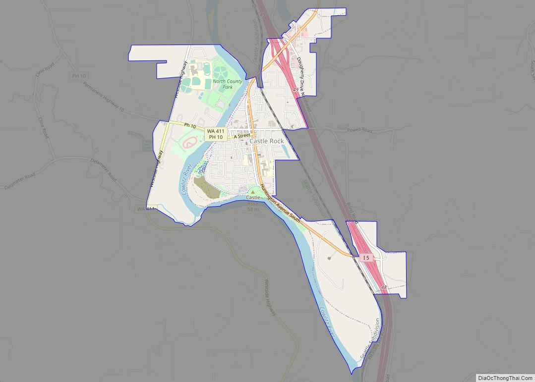
Castle Rock Road Map
Castle Rock city Satellite Map
Geography
Castle Rock is located 117 miles south of Seattle and 58 miles north of Portland, Oregon, 46°16′26″N 122°54′18″W / 46.27389°N 122.90500°W / 46.27389; -122.90500 (46.273991, −122.904916). Castle Rock is situated between the Cowlitz River and Interstate 5, one mile south of the confluence of the Cowlitz and the Toutle River. According to the United States Census Bureau, the city has a total area of 1.76 square miles (4.56 km), of which, 1.59 square miles (4.12 km) is land and 0.17 square miles (0.44 km) is water. It is the northernmost city in Cowlitz County.
See also
Map of Washington State and its subdivision:- Adams
- Asotin
- Benton
- Chelan
- Clallam
- Clark
- Columbia
- Cowlitz
- Douglas
- Ferry
- Franklin
- Garfield
- Grant
- Grays Harbor
- Island
- Jefferson
- King
- Kitsap
- Kittitas
- Klickitat
- Lewis
- Lincoln
- Mason
- Okanogan
- Pacific
- Pend Oreille
- Pierce
- San Juan
- Skagit
- Skamania
- Snohomish
- Spokane
- Stevens
- Thurston
- Wahkiakum
- Walla Walla
- Whatcom
- Whitman
- Yakima
- Alabama
- Alaska
- Arizona
- Arkansas
- California
- Colorado
- Connecticut
- Delaware
- District of Columbia
- Florida
- Georgia
- Hawaii
- Idaho
- Illinois
- Indiana
- Iowa
- Kansas
- Kentucky
- Louisiana
- Maine
- Maryland
- Massachusetts
- Michigan
- Minnesota
- Mississippi
- Missouri
- Montana
- Nebraska
- Nevada
- New Hampshire
- New Jersey
- New Mexico
- New York
- North Carolina
- North Dakota
- Ohio
- Oklahoma
- Oregon
- Pennsylvania
- Rhode Island
- South Carolina
- South Dakota
- Tennessee
- Texas
- Utah
- Vermont
- Virginia
- Washington
- West Virginia
- Wisconsin
- Wyoming
