Chewelah (/tʃəˈwiːlə/ chə-WEE-lə) is a city in Stevens County, Washington, United States. It is located approximately 45 mi (72 km) northwest of Spokane. The population was 2,607 at the 2010 census, a 19.3% increase from 2000.
| Name: | Chewelah city |
|---|---|
| LSAD Code: | 25 |
| LSAD Description: | city (suffix) |
| State: | Washington |
| County: | Stevens County |
| Elevation: | 1,667 ft (508 m) |
| Total Area: | 2.95 sq mi (7.65 km²) |
| Land Area: | 2.95 sq mi (7.65 km²) |
| Water Area: | 0.00 sq mi (0.00 km²) |
| Total Population: | 2,607 |
| Population Density: | 906.20/sq mi (349.84/km²) |
| ZIP code: | 99109 |
| Area code: | 509 |
| FIPS code: | 5312140 |
| GNISfeature ID: | 1517676 |
| Website: | www.cityofchewelah.org |
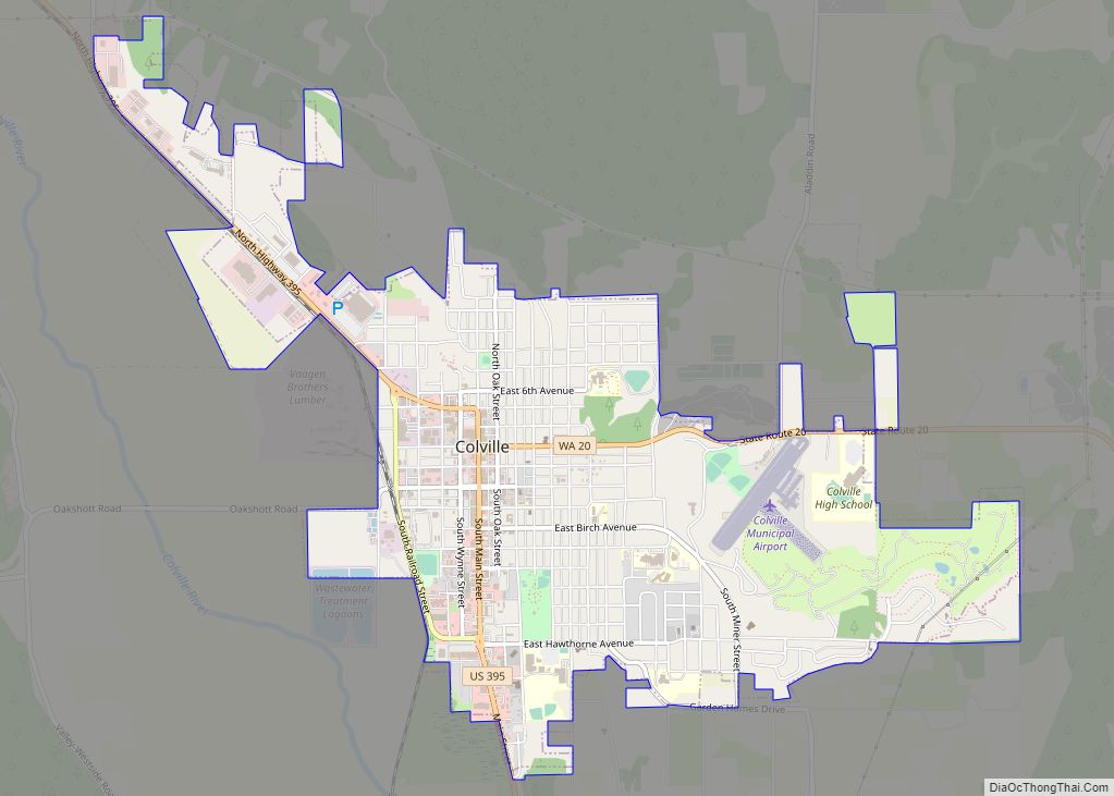
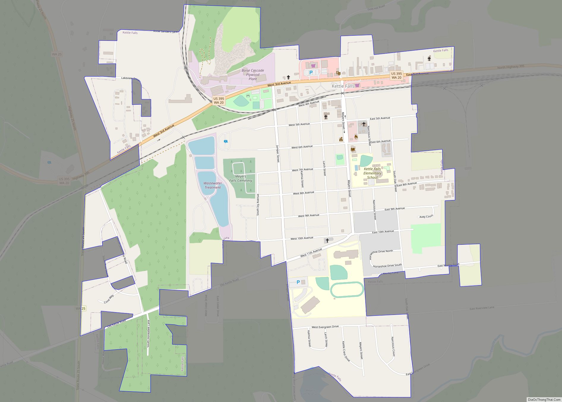
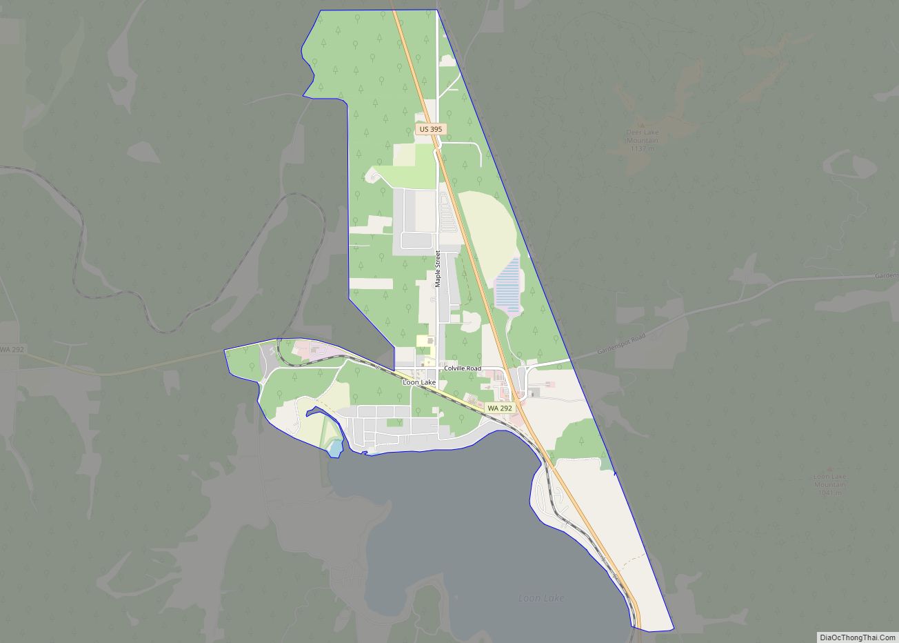
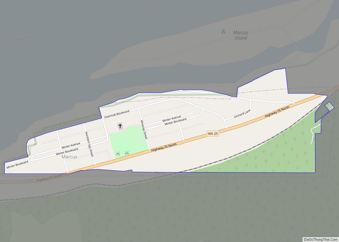
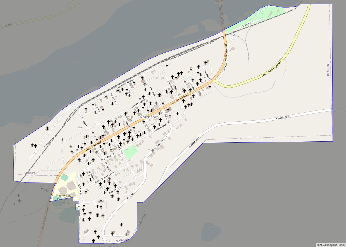
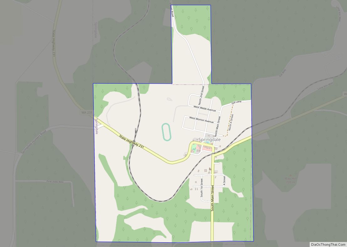
Online Interactive Map
Click on ![]() to view map in "full screen" mode.
to view map in "full screen" mode.
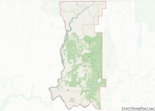
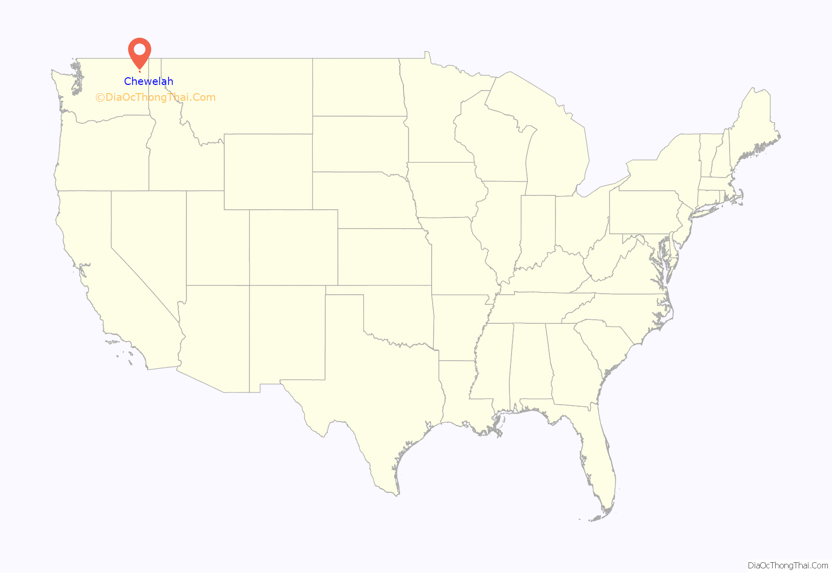
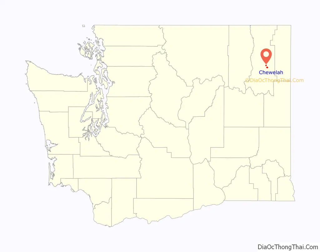
Chewelah location map. Where is Chewelah city?
History
The name of the town comes from a Kalispel word, sč̓ewíleʔ, meaning ‘watersnake’ or ‘gartersnake’. Prior to colonization by European-Americans, Chewelah was home to a band of the Kalispel people. The band was known as the slet̓éw̓si, meaning “valley people”. Originally, the area was called Fool’s Prairie, after the indigenous Kalispel who left his own tribe because of a dispute. Chewelah and the rest of the Colville River Valley were part of the Colville Indian Reservation from April 9, 1872, when the reservation was created, until July 2, 1872, when a subsequent executive order reduced the size of the reservation. The Chewelah Band of Indians is currently part of the Spokane Tribe.
Thomas and Mary Brown moved to the Fool’s Prairie in 1859. On May 8, 1872, Thomas Brown received authority to establish a post office called Chewelah. The name was first used in Stevens County Commissioner Journals on May 6, 1872. That post office disbanded on February 23, 1875. In 1879, the post office was reestablished with Major John Simms, Indian Agent, as postmaster. Chewelah was officially incorporated on January 26, 1903.
Chewelah is a town of firsts in Stevens County. It had the first Protestant Congregational Church in 1891, the first school in 1869, the Spokane Falls and Northern Railway arrived in 1889, a Catholic church was established in 1885, and the first county newspaper was founded in July 1885.
Initially, Chewelah was a pioneer settlement, being an agricultural center that can be traced back to the early 1870s and having prospectors working the adjacent countryside as early as 1842. The town was platted in 1884 and became known for being a rough and tumble mining town; the first lead and silver mines were established around 1886, and others followed in Embry and surrounding areas.
The town’s newspaper, The Independent, was founded by William Hunter Brownlow (1860–1946) in 1903 and has been in publication ever since. The first issue came off the press on June 19, 1903, with the help of his four sons—Truman, Ralph, Arthur, and Alex—Brownlow. The family produced a weekly eight-page newspaper.
By 1905 the population had reached 650, and within a few years many prosperous copper, silver, lead, and some gold mines were flourishing in the area. The most successful ore mined in Chewelah was magnesite. By 1916 Chewelah’s plant was said to be the largest producer of magnesite in the country, and at full production was the largest producer in the world, shipping some 700 tons daily. During the war, there were as many as 800 people working at the plant making high temperature-resistant refractory brick.
By 1920 Chewelah’s population had grown to 1,600 people and continued to prosper until the late 1960s. In 1968, the magnesite plant closed down due to cheaper competition from Japan and changes in the steel industry. Despite this major change, Chewelah survived the transition from being a “one-company town”, and today Chewelah has several thousand residents and displays a pleasant blend of the past and future. With its moderate climate, dry land, and irrigated farming, ranching and dairy farming continue to be mainstays. Chewelah’s diversified economy also includes a ski area and golf course, among other industries.
In June 2019, the Chewelah Creative District became the second state-designated creative district in the state, following a similar designation for Edmonds..
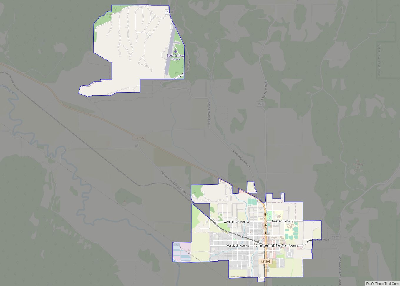
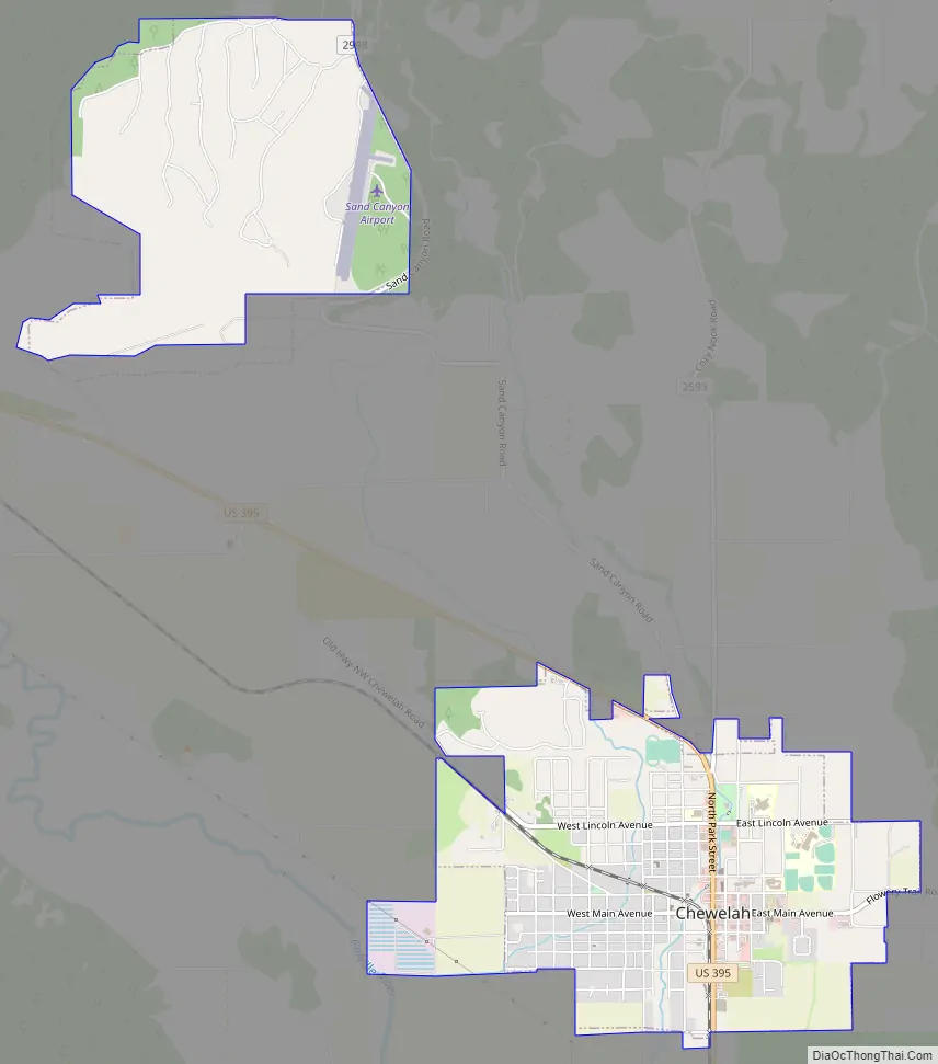
Chewelah Road Map
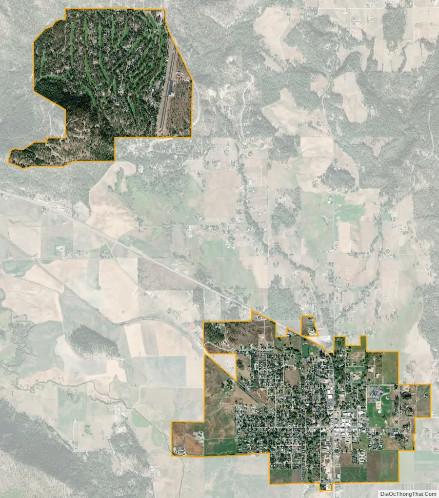
Chewelah city Satellite Map
Geography
According to the United States Census Bureau, the city has a total area of 2.98 square miles (7.72 km), all land.
Climate
This climatic region is typified by large seasonal temperature differences, with warm to hot (and often humid) summers and cold (sometimes severely cold) winters. According to the Köppen Climate Classification system, Chewelah has a humid continental climate, abbreviated “Dfb” on climate maps.
See also
Map of Washington State and its subdivision:- Adams
- Asotin
- Benton
- Chelan
- Clallam
- Clark
- Columbia
- Cowlitz
- Douglas
- Ferry
- Franklin
- Garfield
- Grant
- Grays Harbor
- Island
- Jefferson
- King
- Kitsap
- Kittitas
- Klickitat
- Lewis
- Lincoln
- Mason
- Okanogan
- Pacific
- Pend Oreille
- Pierce
- San Juan
- Skagit
- Skamania
- Snohomish
- Spokane
- Stevens
- Thurston
- Wahkiakum
- Walla Walla
- Whatcom
- Whitman
- Yakima
- Alabama
- Alaska
- Arizona
- Arkansas
- California
- Colorado
- Connecticut
- Delaware
- District of Columbia
- Florida
- Georgia
- Hawaii
- Idaho
- Illinois
- Indiana
- Iowa
- Kansas
- Kentucky
- Louisiana
- Maine
- Maryland
- Massachusetts
- Michigan
- Minnesota
- Mississippi
- Missouri
- Montana
- Nebraska
- Nevada
- New Hampshire
- New Jersey
- New Mexico
- New York
- North Carolina
- North Dakota
- Ohio
- Oklahoma
- Oregon
- Pennsylvania
- Rhode Island
- South Carolina
- South Dakota
- Tennessee
- Texas
- Utah
- Vermont
- Virginia
- Washington
- West Virginia
- Wisconsin
- Wyoming