Chinook is a census-designated place (CDP) in Pacific County, Washington, United States. The population was 457 at the 2000 census and increased to 466 at the 2010 census.
| Name: | Chinook CDP |
|---|---|
| LSAD Code: | 57 |
| LSAD Description: | CDP (suffix) |
| State: | Washington |
| County: | Pacific County |
| Elevation: | 10 ft (3 m) |
| Total Area: | 1.0 sq mi (2.6 km²) |
| Land Area: | 1.0 sq mi (2.6 km²) |
| Water Area: | 0.0 sq mi (0.0 km²) |
| Total Population: | 466 |
| Population Density: | 466/sq mi (172.5/km²) |
| ZIP code: | 98614 |
| Area code: | 360 |
| FIPS code: | 5312315 |
| GNISfeature ID: | 1512091 |
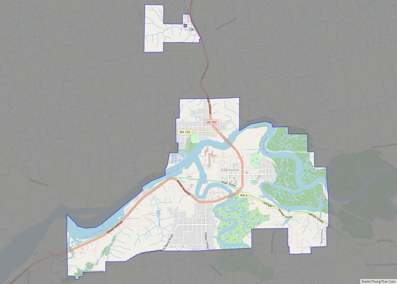
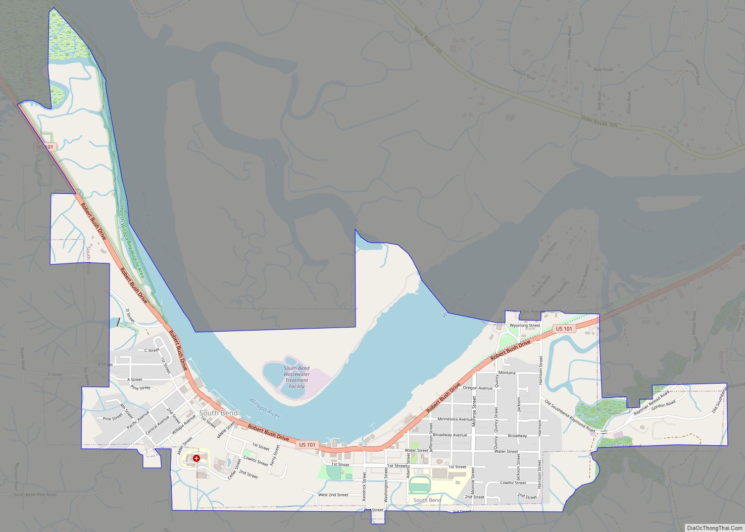
Online Interactive Map
Click on ![]() to view map in "full screen" mode.
to view map in "full screen" mode.
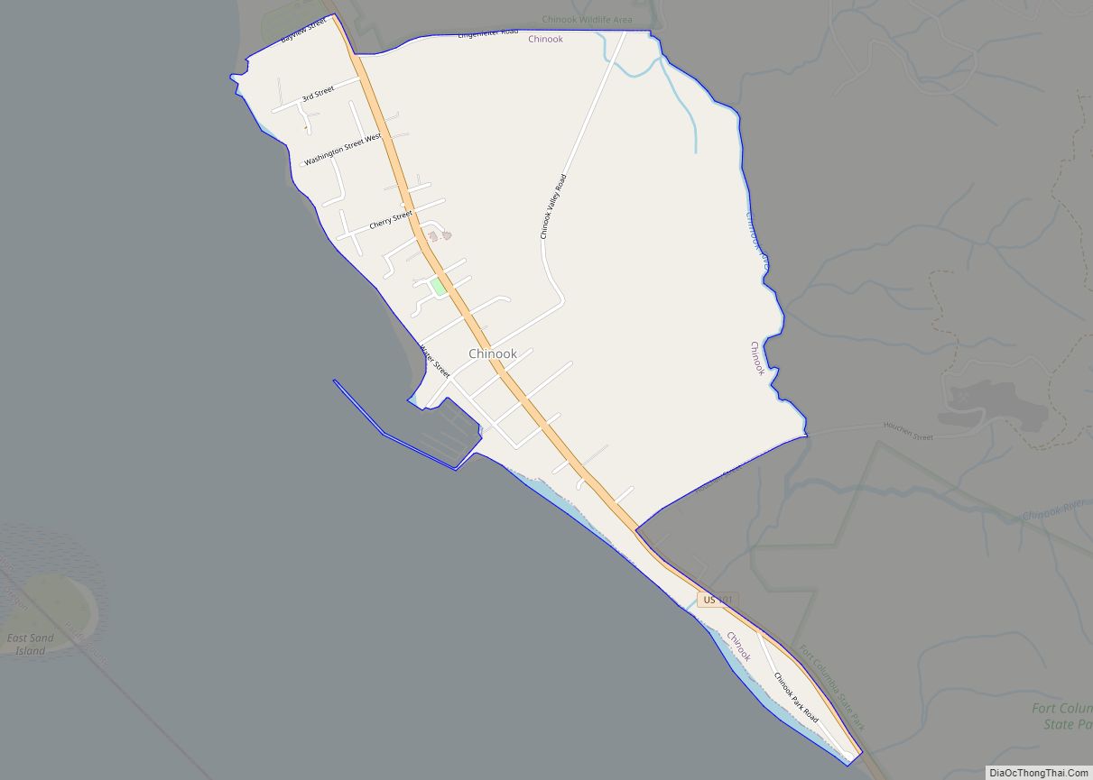
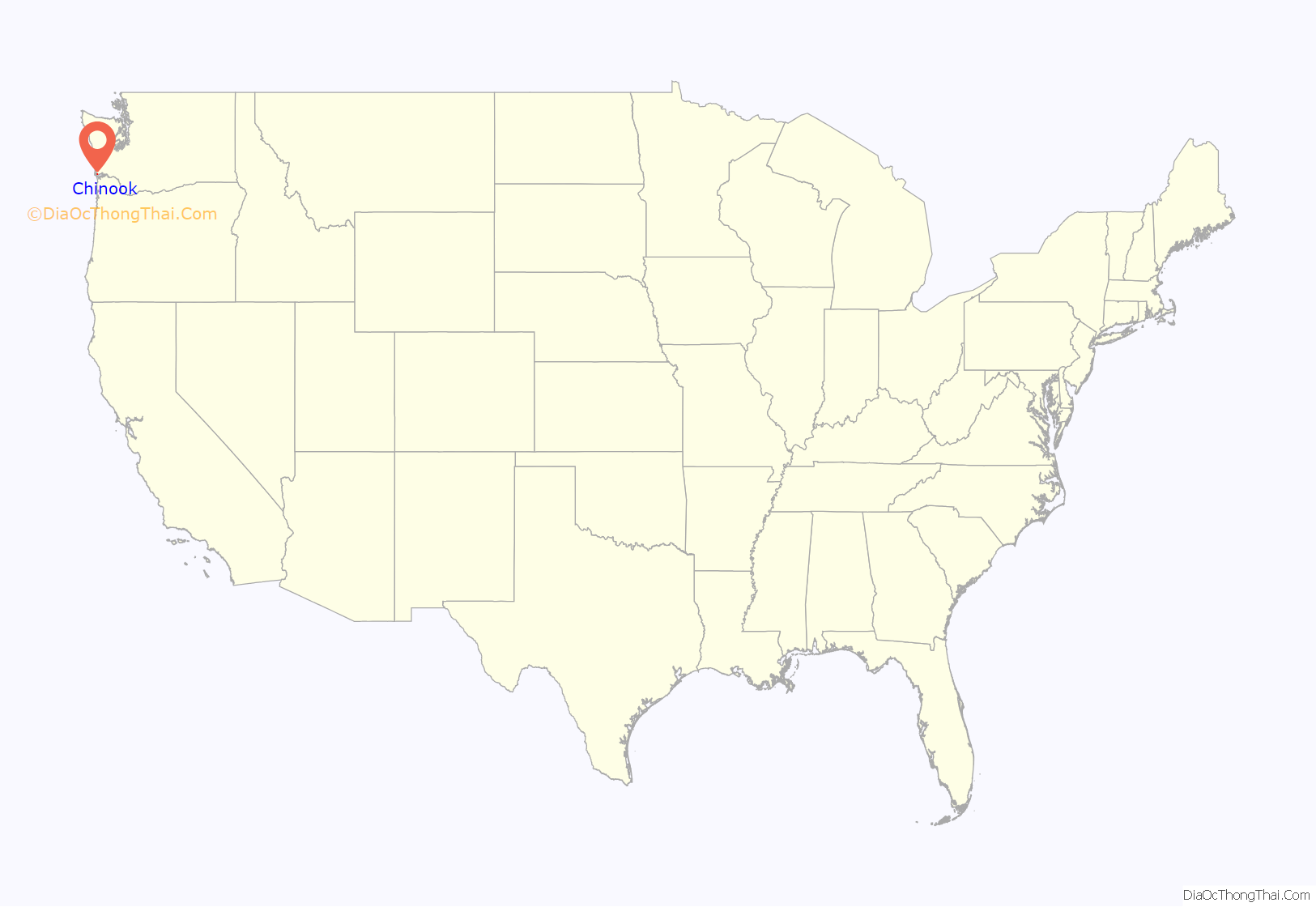
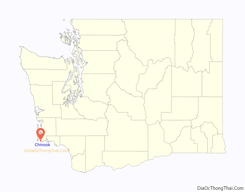
Chinook location map. Where is Chinook CDP?
History
Chinook was the site of the first court in Pacific County in 1853, as well as the county’s first salmon cannery in 1870.
Chinook was once a wealthy town based on the salmon harvest. There was no road connection to Ilwaco until 1891, when the bridge was completed across the Chinook River. Later, the Ilwaco Railway and Navigation Company built a narrow gauge railroad from Megler to Ilwaco, passing down the main street of Chinook. The railroad was dismantled in 1931.
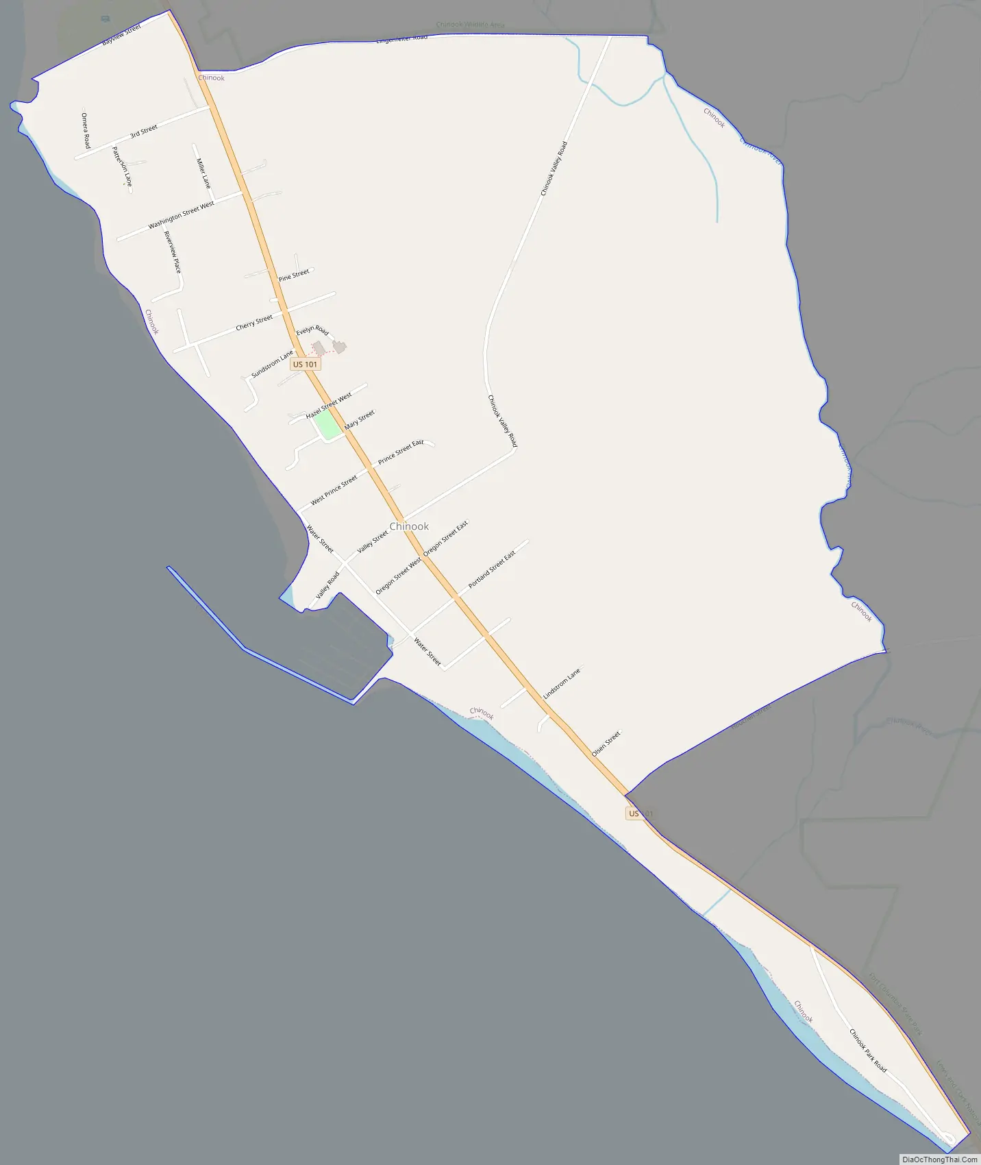
Chinook Road Map
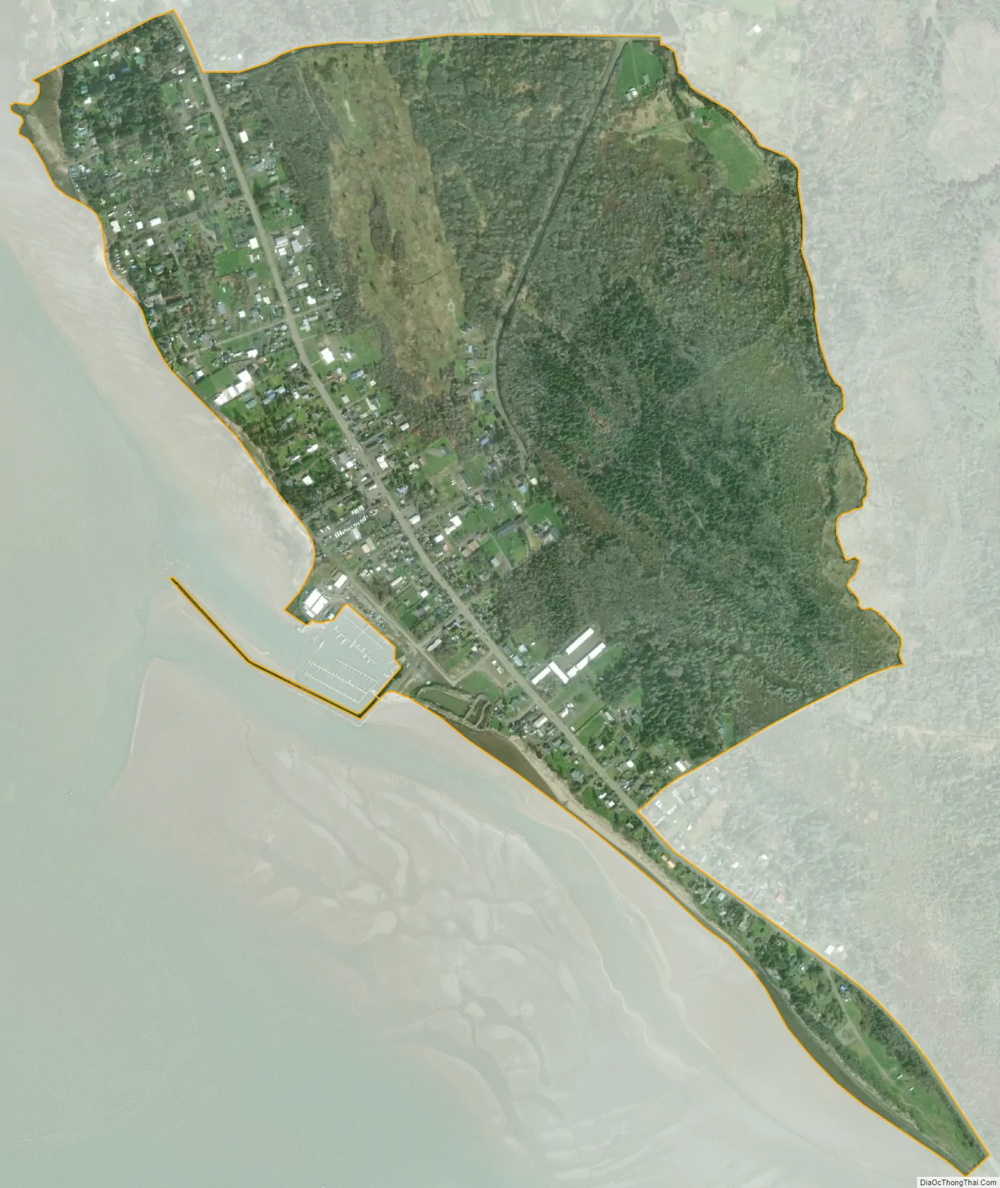
Chinook city Satellite Map
Geography
According to the United States Census Bureau, the CDP has a total area of 1.0 square miles (2.6 km), all of it land. The town is located on Baker Bay, on the north side of the Columbia River just behind Cape Disappointment and the mouth of the Columbia.
See also
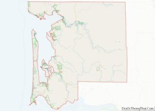
Map of Washington State and its subdivision:- Adams
- Asotin
- Benton
- Chelan
- Clallam
- Clark
- Columbia
- Cowlitz
- Douglas
- Ferry
- Franklin
- Garfield
- Grant
- Grays Harbor
- Island
- Jefferson
- King
- Kitsap
- Kittitas
- Klickitat
- Lewis
- Lincoln
- Mason
- Okanogan
- Pacific
- Pend Oreille
- Pierce
- San Juan
- Skagit
- Skamania
- Snohomish
- Spokane
- Stevens
- Thurston
- Wahkiakum
- Walla Walla
- Whatcom
- Whitman
- Yakima
- Alabama
- Alaska
- Arizona
- Arkansas
- California
- Colorado
- Connecticut
- Delaware
- District of Columbia
- Florida
- Georgia
- Hawaii
- Idaho
- Illinois
- Indiana
- Iowa
- Kansas
- Kentucky
- Louisiana
- Maine
- Maryland
- Massachusetts
- Michigan
- Minnesota
- Mississippi
- Missouri
- Montana
- Nebraska
- Nevada
- New Hampshire
- New Jersey
- New Mexico
- New York
- North Carolina
- North Dakota
- Ohio
- Oklahoma
- Oregon
- Pennsylvania
- Rhode Island
- South Carolina
- South Dakota
- Tennessee
- Texas
- Utah
- Vermont
- Virginia
- Washington
- West Virginia
- Wisconsin
- Wyoming