Raymond is a city in Pacific County, Washington, United States. The population was 2,882 at the 2010 census. The 2020 census showed the population of 3,081, an increase of 6.4%. The town’s economy has traditionally been based on logging and fishing, together with a limited amount of tourism.
| Name: | Raymond city |
|---|---|
| LSAD Code: | 25 |
| LSAD Description: | city (suffix) |
| State: | Washington |
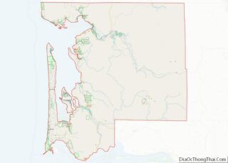
| County: | Pacific County |
| Elevation: | 13 ft (4 m) |
| Total Area: | 4.69 sq mi (12.14 km²) |
| Land Area: | 4.09 sq mi (10.59 km²) |
| Water Area: | 0.60 sq mi (1.55 km²) |
| Total Population: | 2,882 |
| Population Density: | 732.39/sq mi (282.75/km²) |
| ZIP code: | 98577 |
| Area code: | 360 |
| FIPS code: | 5357430 |
| GNISfeature ID: | 1507743 |
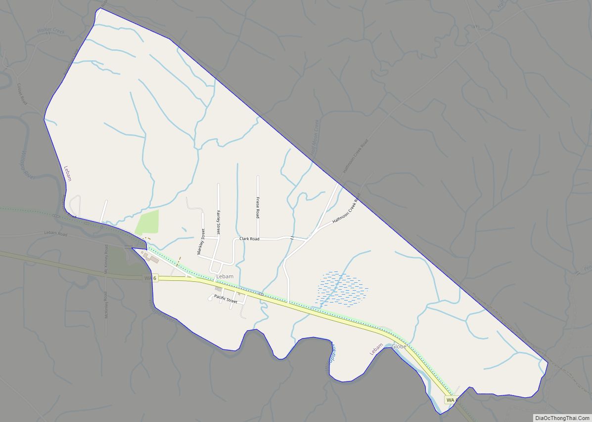
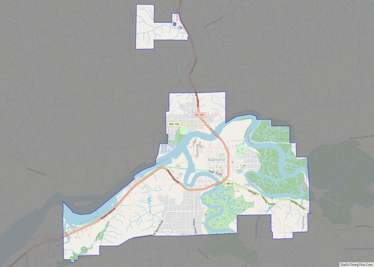
Online Interactive Map
Click on ![]() to view map in "full screen" mode.
to view map in "full screen" mode.
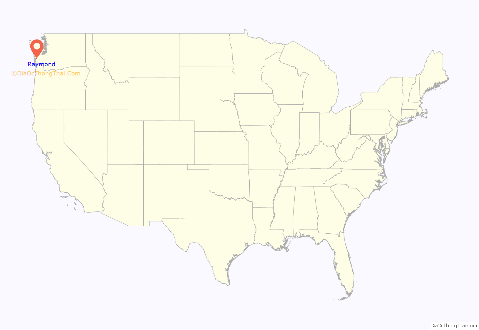
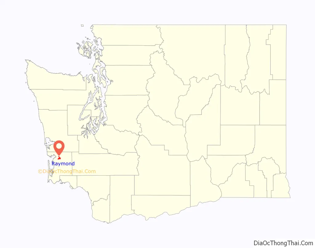
Raymond location map. Where is Raymond city?
History
Raymond was incorporated on August 6, 1907. Raymond was named after L.V. Raymond, who was the first postmaster in Raymond. In the early years, Raymond’s business section was built on stilts five or six feet above the tidelands and sloughs that crisscrossed the site. Elevated sidewalks and streets connected most of the buildings. Raymond claimed a population of 6,000 in the year 1913 and had a reputation as a wild and wooly lumber mill town. City fathers resisted the unwanted reputation with promotions of Raymond as “The Empire City of Willapa Harbor” and “The City That Does Things”. Lyricist Robert Wells, who wrote “The Christmas Song” with Mel Tormé, was born in Raymond in 1922. Raymond was the city where the grunge band Nirvana played their first gig, on March 7, 1987.
Raymond saw an influx of cannabis manufacturing and agricultural jobs after the passing of Initiative 502 in November 2012, which legalized the recreational use of marijuana. Raymond has embraced all aspects of this lucrative industry by welcoming many new start-up businesses including commercial marijuana grow operations, marijuana-infused goods manufacturing, as well as retail marijuana stores.
Raymond Road Map

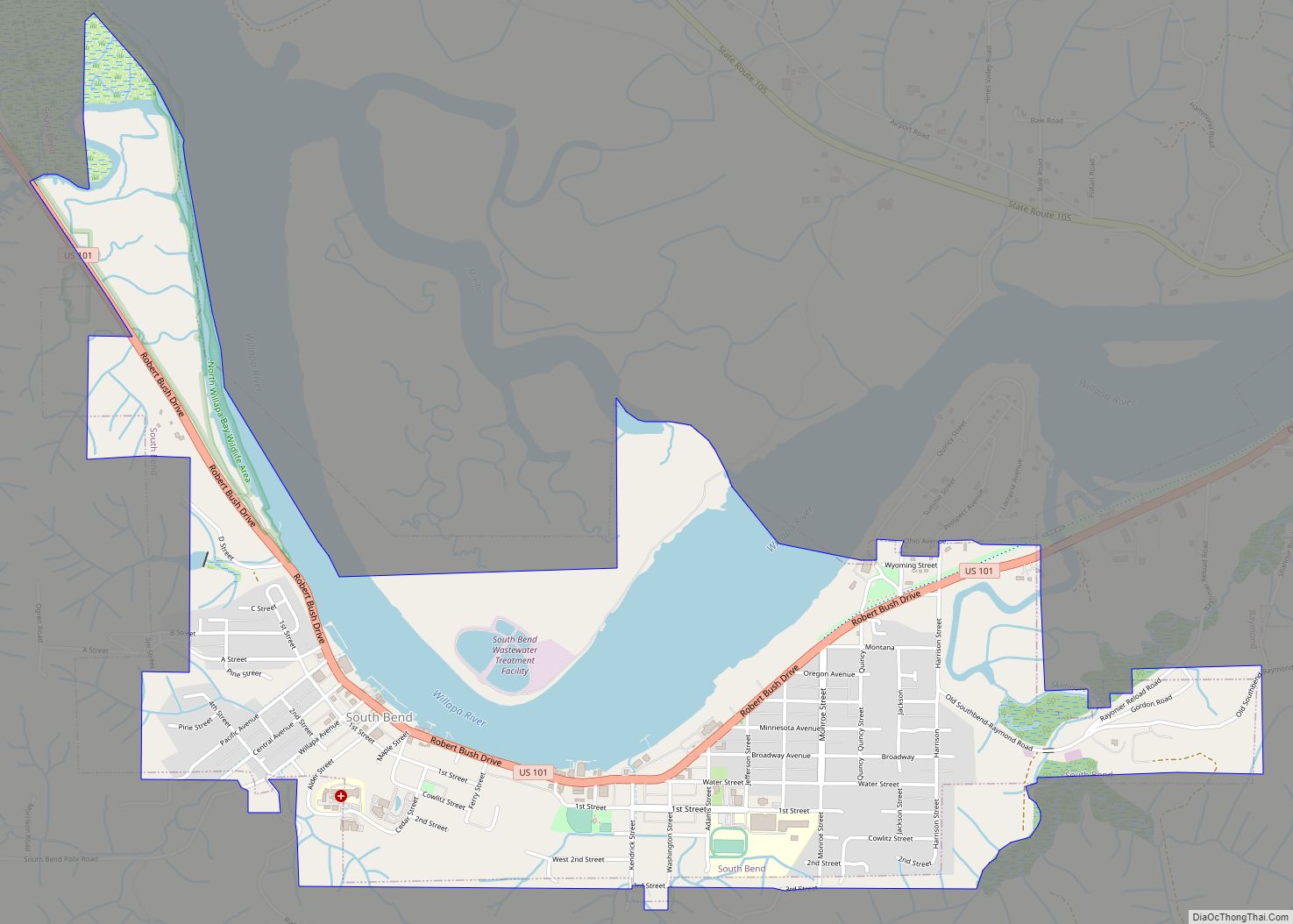
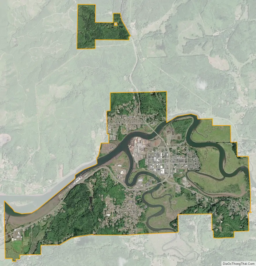
Raymond city Satellite Map
Geography
Raymond is located at 46°40′47″N 123°44′17″W / 46.67972°N 123.73806°W / 46.67972; -123.73806 (46.679599, -123.738091).
According to the United States Census Bureau, the city has a total area of 4.62 square miles (11.97 km), of which, 4.06 square miles (10.52 km) is land and 0.56 square miles (1.45 km) is water.
Climate
According to the Köppen Climate Classification system, Raymond has a warm-summer Mediterranean climate, abbreviated “Csb” on climate maps.
On June 27th 2021, Raymond reached a maximum recorded temperature of 103 degrees Fahrenheit.
See also
Map of Washington State and its subdivision:- Adams
- Asotin
- Benton
- Chelan
- Clallam
- Clark
- Columbia
- Cowlitz
- Douglas
- Ferry
- Franklin
- Garfield
- Grant
- Grays Harbor
- Island
- Jefferson
- King
- Kitsap
- Kittitas
- Klickitat
- Lewis
- Lincoln
- Mason
- Okanogan
- Pacific
- Pend Oreille
- Pierce
- San Juan
- Skagit
- Skamania
- Snohomish
- Spokane
- Stevens
- Thurston
- Wahkiakum
- Walla Walla
- Whatcom
- Whitman
- Yakima
- Alabama
- Alaska
- Arizona
- Arkansas
- California
- Colorado
- Connecticut
- Delaware
- District of Columbia
- Florida
- Georgia
- Hawaii
- Idaho
- Illinois
- Indiana
- Iowa
- Kansas
- Kentucky
- Louisiana
- Maine
- Maryland
- Massachusetts
- Michigan
- Minnesota
- Mississippi
- Missouri
- Montana
- Nebraska
- Nevada
- New Hampshire
- New Jersey
- New Mexico
- New York
- North Carolina
- North Dakota
- Ohio
- Oklahoma
- Oregon
- Pennsylvania
- Rhode Island
- South Carolina
- South Dakota
- Tennessee
- Texas
- Utah
- Vermont
- Virginia
- Washington
- West Virginia
- Wisconsin
- Wyoming