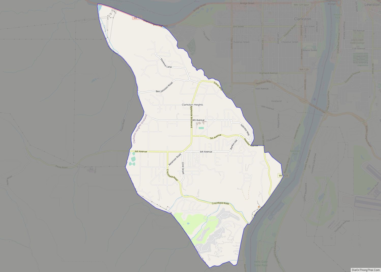
Clarkston Heights-Vineland is a census-designated place (CDP) in Asotin County, Washington, United States. It is part of the Lewiston, ID–WA Metropolitan Statistical Area. The population was 7,275 at the 2020 census.
| Name: | Clarkston Heights-Vineland CDP |
|---|---|
| LSAD Code: | 57 |
| LSAD Description: | CDP (suffix) |
| State: | Washington |
| County: | Asotin County |
| Total Area: | 6.0 sq mi (15.4 km²) |
| Land Area: | 6.0 sq mi (15.4 km²) |
| Water Area: | 0.0 sq mi (0.0 km²) |
| Total Population: | 7,275 |
| Population Density: | 1,027.3/sq mi (396.7/km²) |
| FIPS code: | 5312680 |
Online Interactive Map
Click on ![]() to view map in "full screen" mode.
to view map in "full screen" mode.
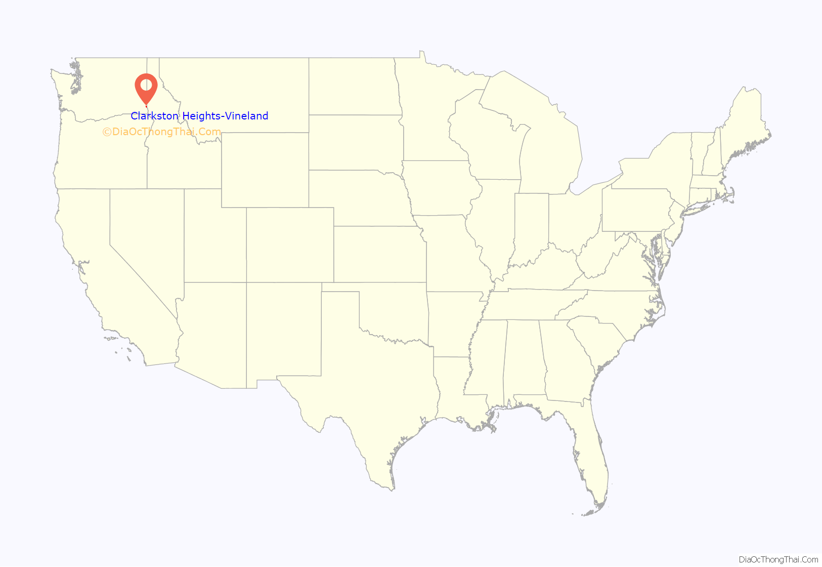
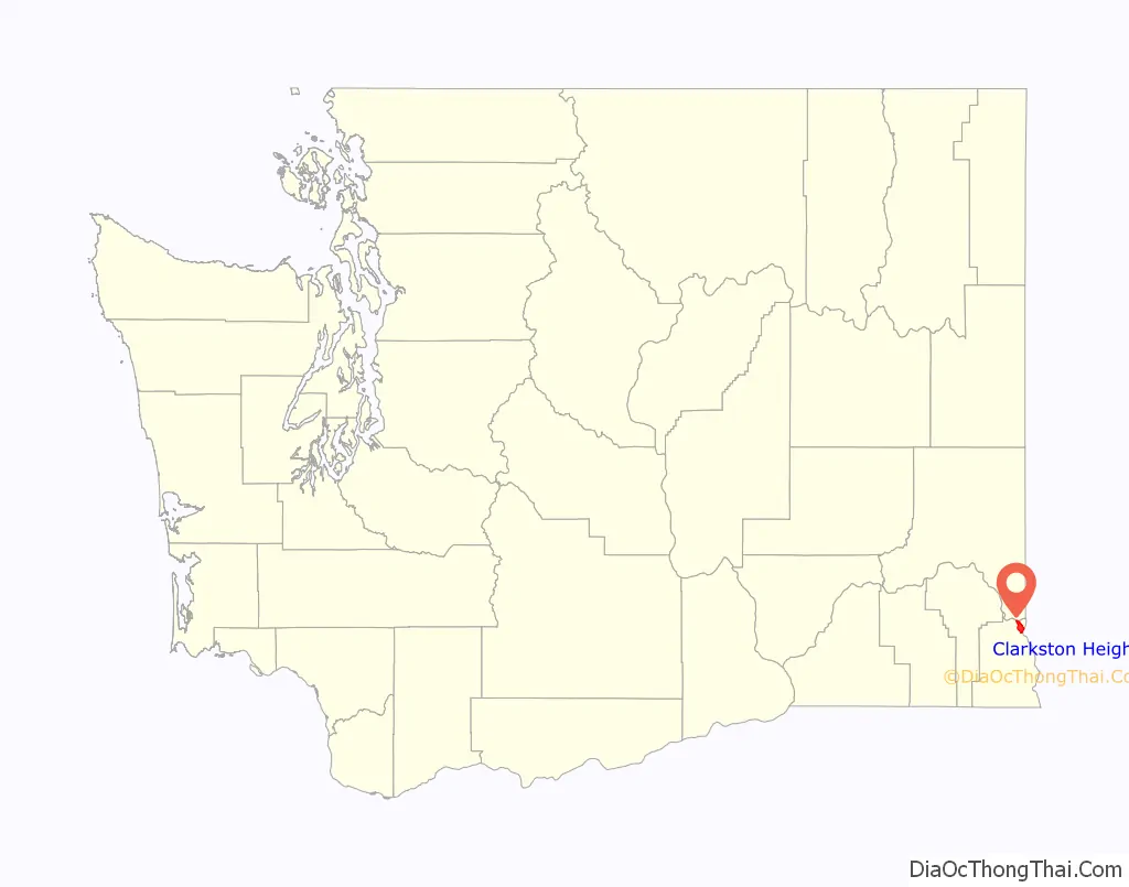
Clarkston Heights-Vineland location map. Where is Clarkston Heights-Vineland CDP?
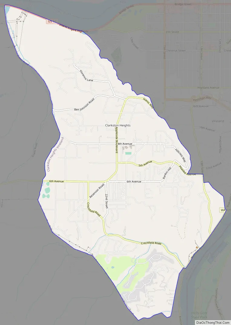
Clarkston Heights-Vineland Road Map
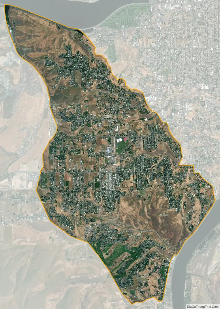
Clarkston Heights-Vineland city Satellite Map
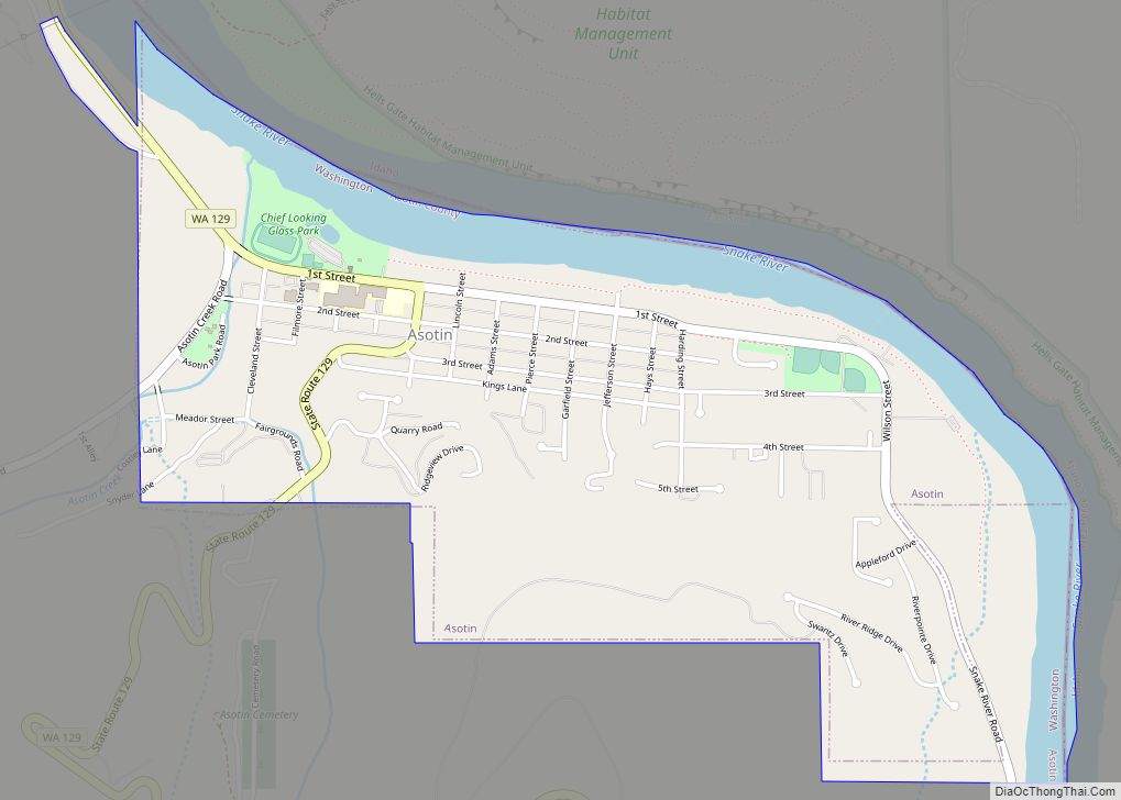
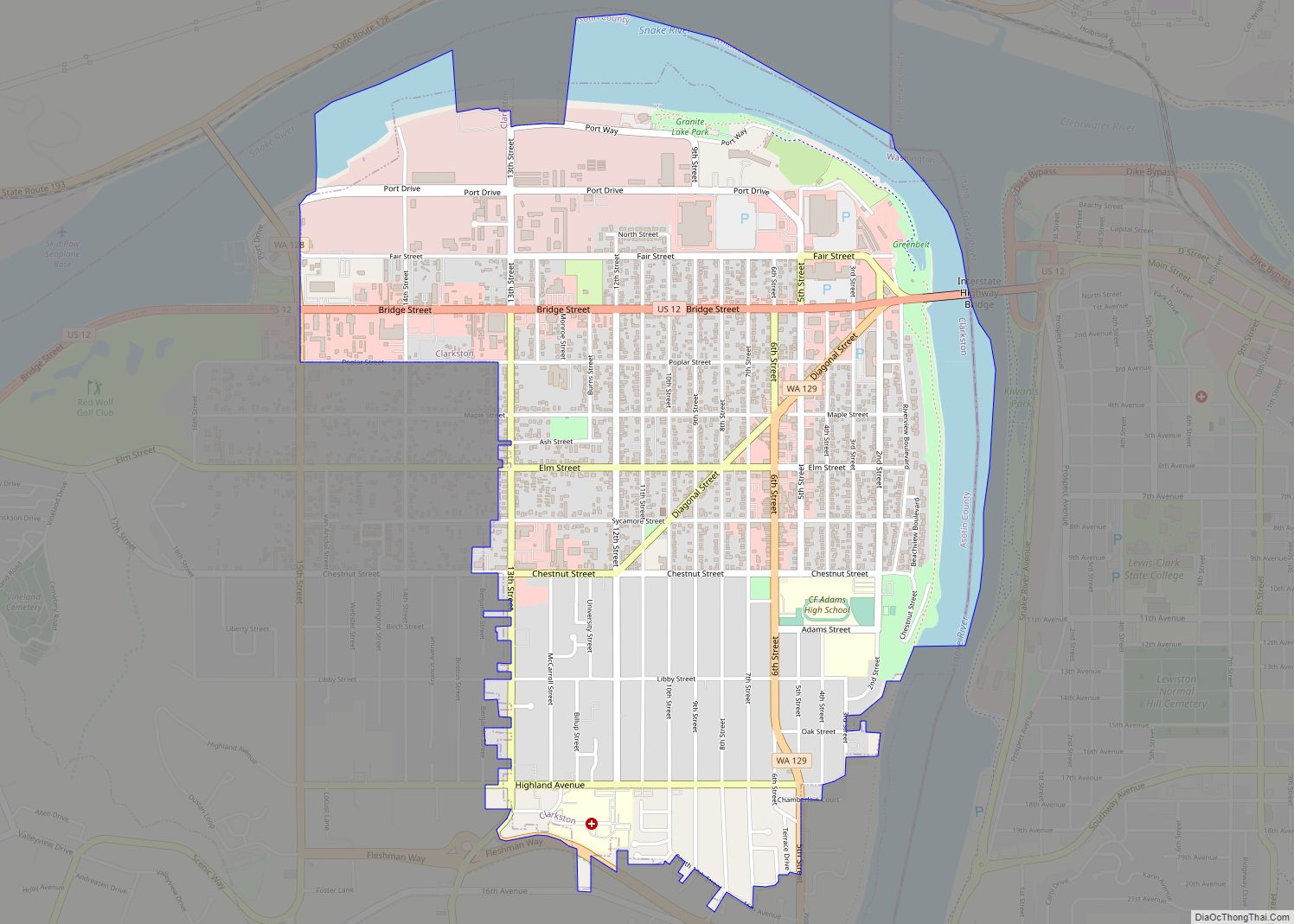
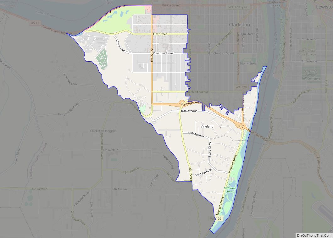
Geography
Clarkston Heights-Vineland is located at 46°23′0″N 117°4′52″W / 46.38333°N 117.08111°W / 46.38333; -117.08111 (46.383255, −117.081015).
According to the United States Census Bureau, the CDP has a total area of 5.9 square miles (15.4 km), all of it land.
See also
Map of Washington State and its subdivision:- Adams
- Asotin
- Benton
- Chelan
- Clallam
- Clark
- Columbia
- Cowlitz
- Douglas
- Ferry
- Franklin
- Garfield
- Grant
- Grays Harbor
- Island
- Jefferson
- King
- Kitsap
- Kittitas
- Klickitat
- Lewis
- Lincoln
- Mason
- Okanogan
- Pacific
- Pend Oreille
- Pierce
- San Juan
- Skagit
- Skamania
- Snohomish
- Spokane
- Stevens
- Thurston
- Wahkiakum
- Walla Walla
- Whatcom
- Whitman
- Yakima
- Alabama
- Alaska
- Arizona
- Arkansas
- California
- Colorado
- Connecticut
- Delaware
- District of Columbia
- Florida
- Georgia
- Hawaii
- Idaho
- Illinois
- Indiana
- Iowa
- Kansas
- Kentucky
- Louisiana
- Maine
- Maryland
- Massachusetts
- Michigan
- Minnesota
- Mississippi
- Missouri
- Montana
- Nebraska
- Nevada
- New Hampshire
- New Jersey
- New Mexico
- New York
- North Carolina
- North Dakota
- Ohio
- Oklahoma
- Oregon
- Pennsylvania
- Rhode Island
- South Carolina
- South Dakota
- Tennessee
- Texas
- Utah
- Vermont
- Virginia
- Washington
- West Virginia
- Wisconsin
- Wyoming