Cottage Lake is a census-designated place (CDP) in King County, Washington, United States. The population was 22,494 at the 2010 census. The lake itself falls within the 98072 ZIP code, while the developments east of the lake fall under the 98077 ZIP code.
Based on per capita income, Cottage Lake ranks 13th of 522 areas in the state of Washington to be ranked. Coldwell Banker ranked Cottage Lake #1 in 2013 for the fastest growing suburb in America.
| Name: | Cottage Lake CDP |
|---|---|
| LSAD Code: | 57 |
| LSAD Description: | CDP (suffix) |
| State: | Washington |
| County: | King County |
| Elevation: | 236 ft (72 m) |
| Total Area: | 22.8 sq mi (59.0 km²) |
| Land Area: | 22.7 sq mi (58.7 km²) |
| Water Area: | 0.1 sq mi (0.3 km²) |
| Total Population: | 22,494 |
| Population Density: | 993/sq mi (383.3/km²) |
| ZIP code: | 98072, 98077 |
| Area code: | 425 |
| FIPS code: | 5314940 |
| GNISfeature ID: | 1852940 |
Online Interactive Map
Click on ![]() to view map in "full screen" mode.
to view map in "full screen" mode.
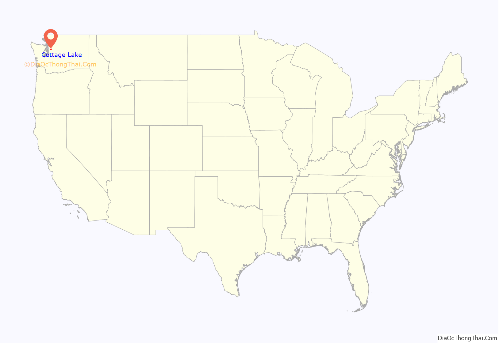
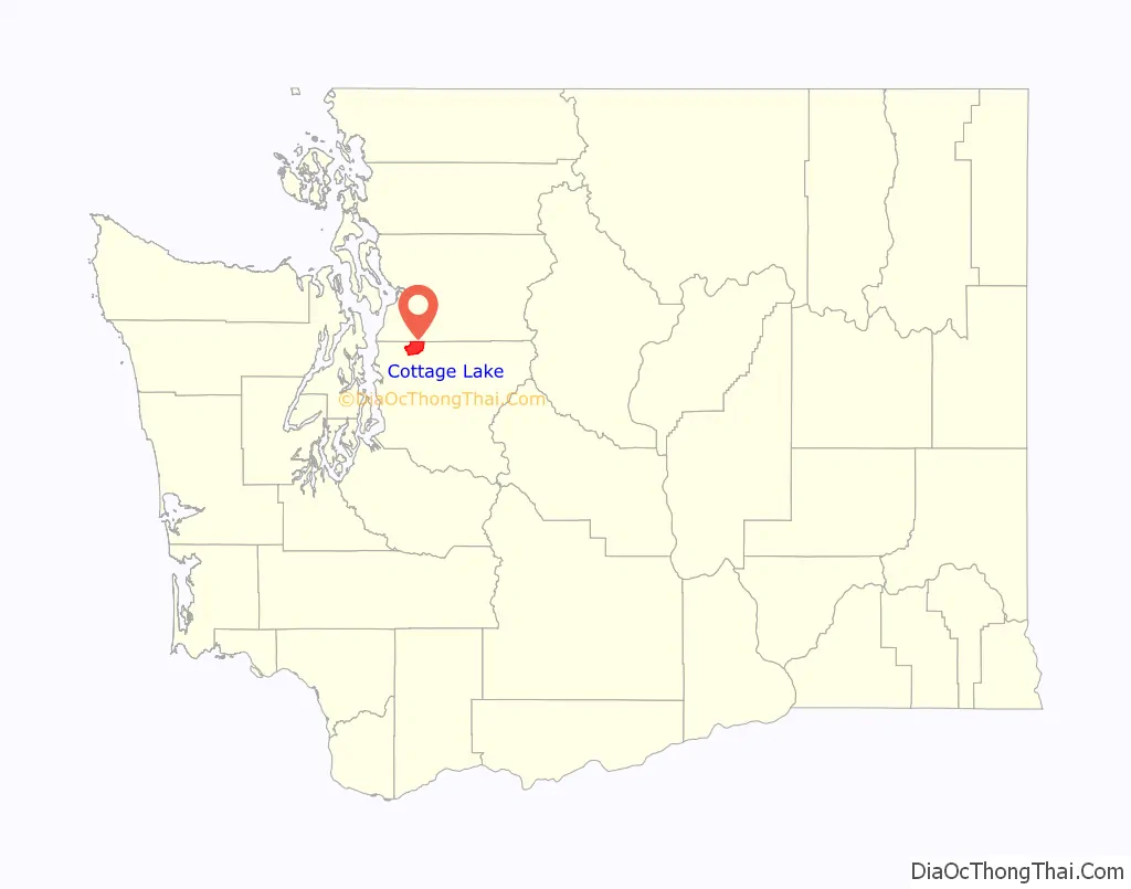
Cottage Lake location map. Where is Cottage Lake CDP?
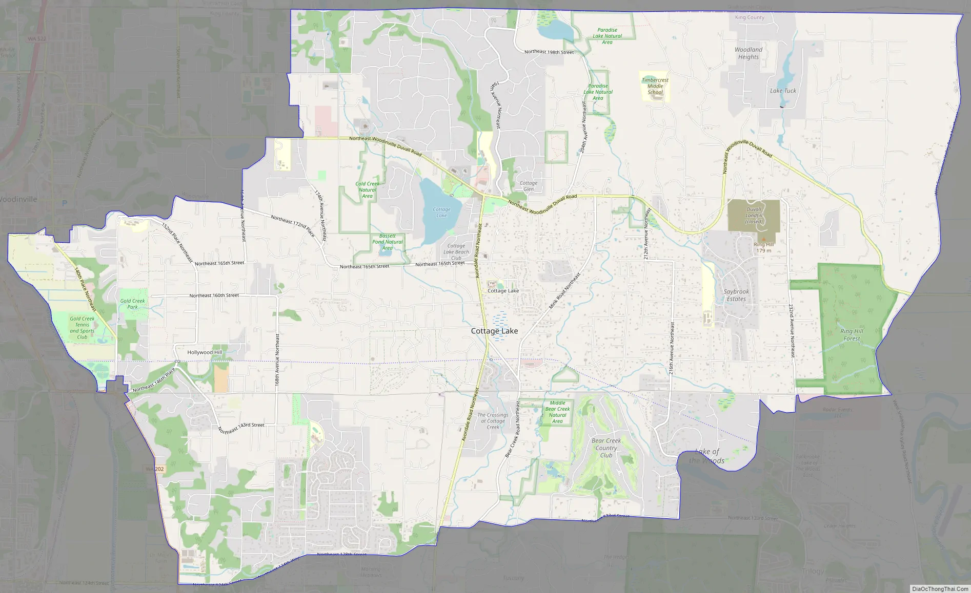
Cottage Lake Road Map
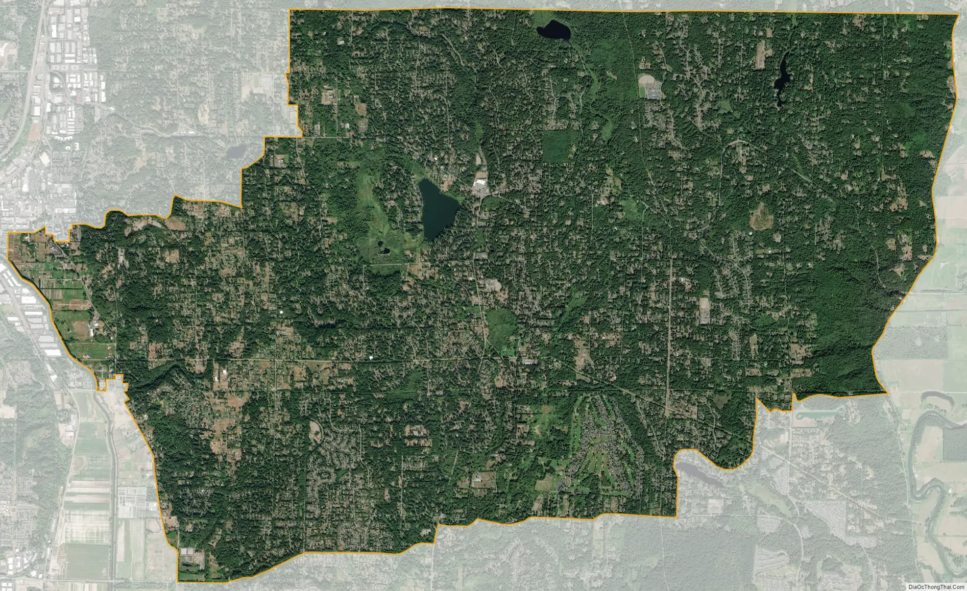
Cottage Lake city Satellite Map
Geography
Cottage Lake is located in northern King County at 47°44′42″N 122°4′58″W / 47.74500°N 122.08278°W / 47.74500; -122.08278 (47.744892, -122.082675). It is bordered on the east by West Snoqualmie Valley Road, to the south by the Union Hill-Novelty Hill CDP, to the west by State Route 202 and the city of Woodinville, and to the north by the CDPs of Maltby and High Bridge in Snohomish County. It is 6 miles (10 km) northeast of Redmond and 20 miles (32 km) southeast of Everett.
According to the United States Census Bureau, the Cottage Lake CDP has a total area of 22.8 square miles (59.0 km), of which 22.7 square miles (58.7 km) are land and 0.1 square miles (0.3 km), or 0.55%, are water. Most of the CDP drains south and west to the Sammamish River, while the eastern edge drains to the Snoqualmie River.
See also
Map of Washington State and its subdivision:- Adams
- Asotin
- Benton
- Chelan
- Clallam
- Clark
- Columbia
- Cowlitz
- Douglas
- Ferry
- Franklin
- Garfield
- Grant
- Grays Harbor
- Island
- Jefferson
- King
- Kitsap
- Kittitas
- Klickitat
- Lewis
- Lincoln
- Mason
- Okanogan
- Pacific
- Pend Oreille
- Pierce
- San Juan
- Skagit
- Skamania
- Snohomish
- Spokane
- Stevens
- Thurston
- Wahkiakum
- Walla Walla
- Whatcom
- Whitman
- Yakima
- Alabama
- Alaska
- Arizona
- Arkansas
- California
- Colorado
- Connecticut
- Delaware
- District of Columbia
- Florida
- Georgia
- Hawaii
- Idaho
- Illinois
- Indiana
- Iowa
- Kansas
- Kentucky
- Louisiana
- Maine
- Maryland
- Massachusetts
- Michigan
- Minnesota
- Mississippi
- Missouri
- Montana
- Nebraska
- Nevada
- New Hampshire
- New Jersey
- New Mexico
- New York
- North Carolina
- North Dakota
- Ohio
- Oklahoma
- Oregon
- Pennsylvania
- Rhode Island
- South Carolina
- South Dakota
- Tennessee
- Texas
- Utah
- Vermont
- Virginia
- Washington
- West Virginia
- Wisconsin
- Wyoming


