Covington is a city in King County, Washington, United States. The population was 20,777 at the time of the 2020 census. Prior to the 2010 census, Covington was counted as part of Covington-Sawyer-Wilderness CDP.
| Name: | Covington city |
|---|---|
| LSAD Code: | 25 |
| LSAD Description: | city (suffix) |
| State: | Washington |
| County: | King County |
| Founded: | August 31, 1997 |
| Elevation: | 381 ft (116 m) |
| Total Area: | 6.04 sq mi (15.65 km²) |
| Land Area: | 5.93 sq mi (15.36 km²) |
| Water Area: | 0.11 sq mi (0.28 km²) |
| Total Population: | 20,777 |
| Population Density: | 3,569.62/sq mi (1,378.28/km²) |
| ZIP code: | 98042 |
| Area code: | 253 |
| FIPS code: | 5315290 |
| GNISfeature ID: | 1510895 |
| Website: | covingtonwa.gov |
Online Interactive Map
Click on ![]() to view map in "full screen" mode.
to view map in "full screen" mode.
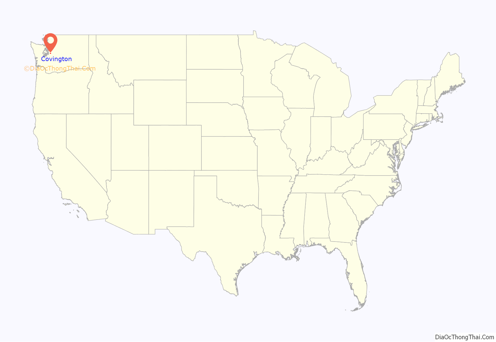
Covington location map. Where is Covington city?
History
The area presently known as Covington was originally known as Jenkins Prairie. Between 1899 and 1900 the Northern Pacific Railway built a cut-off between Auburn and Kanaskat, improving the company’s primary east–west route across Stampede Pass. Richard Covington, a surveyor for the Northern Pacific Railroad worked out of Fort Vancouver establishing the line through western Washington to complete the line from St. Paul, Minnesota, to Auburn. According to the NP’s construction records at the University of Montana’s K. Ross Toole Archives, the primary contractors were banker Horace C. Henry of Seattle, Washington, and long-time railroad contractor Nelson Bennett of Tacoma, Washington, the NP’s prime contractor for Stampede Tunnel, which he completed in 1888. The project engineer in Auburn was George Allen Kyle. The NP’s principal assistant engineer in Tacoma, overseeing both Kyle and Bennett’s work, was Charles S. Bihler.
In 1900, during the building of the Palmer Cut-Off from Kanaskat to Auburn, the Northern Pacific installed at 2,850-foot passing track, a 700-foot loading track, a second class section house (which broke down to $1,000 for construction, $100 for an outhouse, and $50 for furnishings), a 24-man bunkhouse, a box tank and standpipe for watering steam locomotives at Covington. By 1908 the tiny village was home to the Covington Lumber Company, which had set up a mill capable of cutting 85,000 board feet of timber a day. No photograph is known to exist of the station at this site, apparently built after the cut-off construction. It operated on and off until the Great Depression and was removed in 1941.
A school district was established in 1937. Over the years the area grew as an unincorporated area of Kent. A vote to incorporate Covington as a city was passed on November 6, 1996, the same day as a similar measure creating neighboring Maple Valley. Covington was officially incorporated as a city on August 31, 1997.
Covington Road Map
Covington city Satellite Map
Geography
Covington is located in southern King County. The city is surrounded by Kent to the west, Auburn to the southwest, and Maple Valley to the east.
According to the United States Census Bureau, the city has a total area of 5.96 square miles (15.44 km), of which, 5.86 square miles (15.18 km) is land and 0.10 square miles (0.26 km) is water.
See also
Map of Washington State and its subdivision:- Adams
- Asotin
- Benton
- Chelan
- Clallam
- Clark
- Columbia
- Cowlitz
- Douglas
- Ferry
- Franklin
- Garfield
- Grant
- Grays Harbor
- Island
- Jefferson
- King
- Kitsap
- Kittitas
- Klickitat
- Lewis
- Lincoln
- Mason
- Okanogan
- Pacific
- Pend Oreille
- Pierce
- San Juan
- Skagit
- Skamania
- Snohomish
- Spokane
- Stevens
- Thurston
- Wahkiakum
- Walla Walla
- Whatcom
- Whitman
- Yakima
- Alabama
- Alaska
- Arizona
- Arkansas
- California
- Colorado
- Connecticut
- Delaware
- District of Columbia
- Florida
- Georgia
- Hawaii
- Idaho
- Illinois
- Indiana
- Iowa
- Kansas
- Kentucky
- Louisiana
- Maine
- Maryland
- Massachusetts
- Michigan
- Minnesota
- Mississippi
- Missouri
- Montana
- Nebraska
- Nevada
- New Hampshire
- New Jersey
- New Mexico
- New York
- North Carolina
- North Dakota
- Ohio
- Oklahoma
- Oregon
- Pennsylvania
- Rhode Island
- South Carolina
- South Dakota
- Tennessee
- Texas
- Utah
- Vermont
- Virginia
- Washington
- West Virginia
- Wisconsin
- Wyoming
