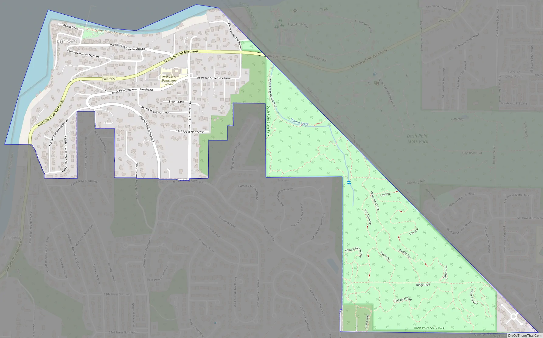
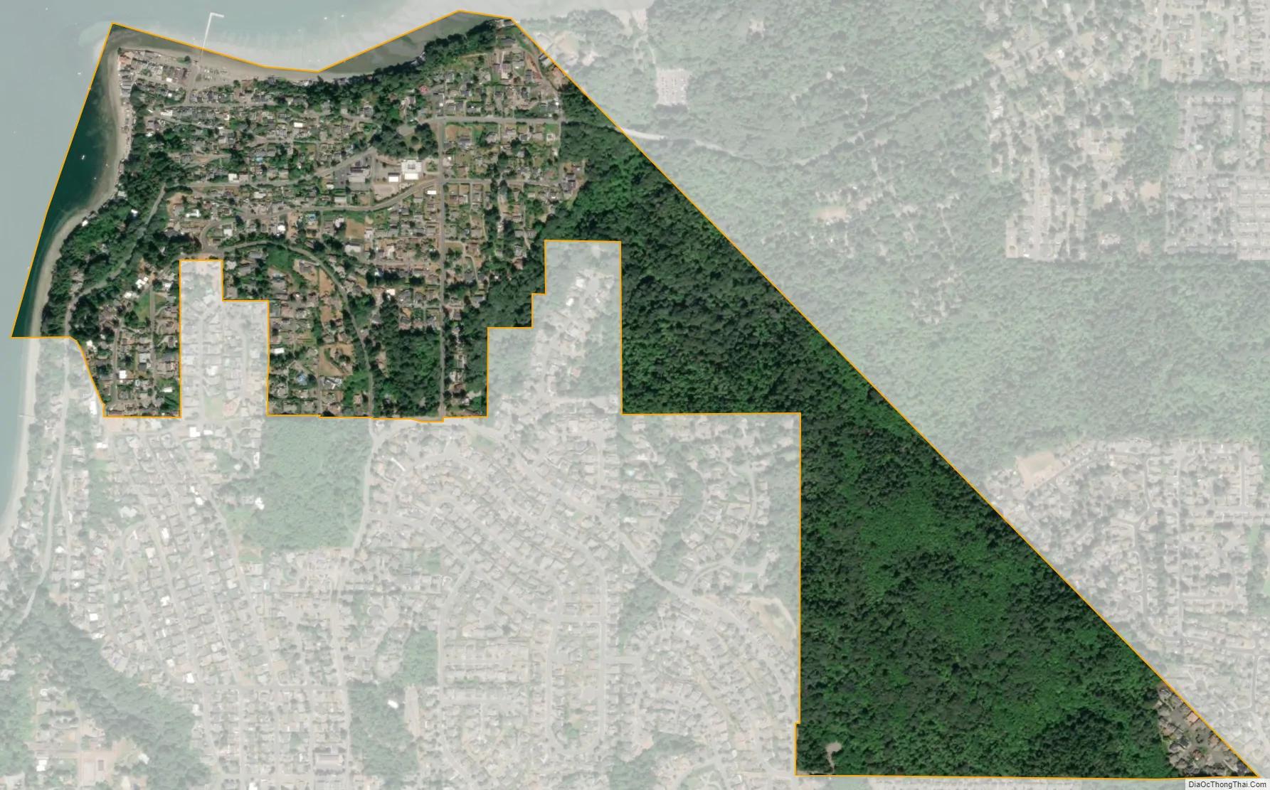
Dash Point is an unincorporated community in Pierce County, Washington, United States. Because it is not incorporated, no census population figures are available. Dash Point is a residential area surrounded by Puget Sound to the north, Dash Point State Park to the east, and the city of Tacoma to the south and west. Dash Point is located across Commencement Bay from downtown Tacoma.
Dash Point relies entirely on Tacoma for city services, and lacks a town center of its own. Although Dash Point is located in Pierce County, Dash Point State Park is located in neighboring King County.
| Name: | Dash Point CDP |
|---|---|
| LSAD Code: | 57 |
| LSAD Description: | CDP (suffix) |
| State: | Washington |
| County: | Pierce County |
| Elevation: | 13 ft (4 m) |
| Total Area: | 0.64 sq mi (1.7 km²) |
| ZIP code: | 98422 |
| Area code: | 253 |
| FIPS code: | 5316760 |
Online Interactive Map
Click on ![]() to view map in "full screen" mode.
to view map in "full screen" mode.
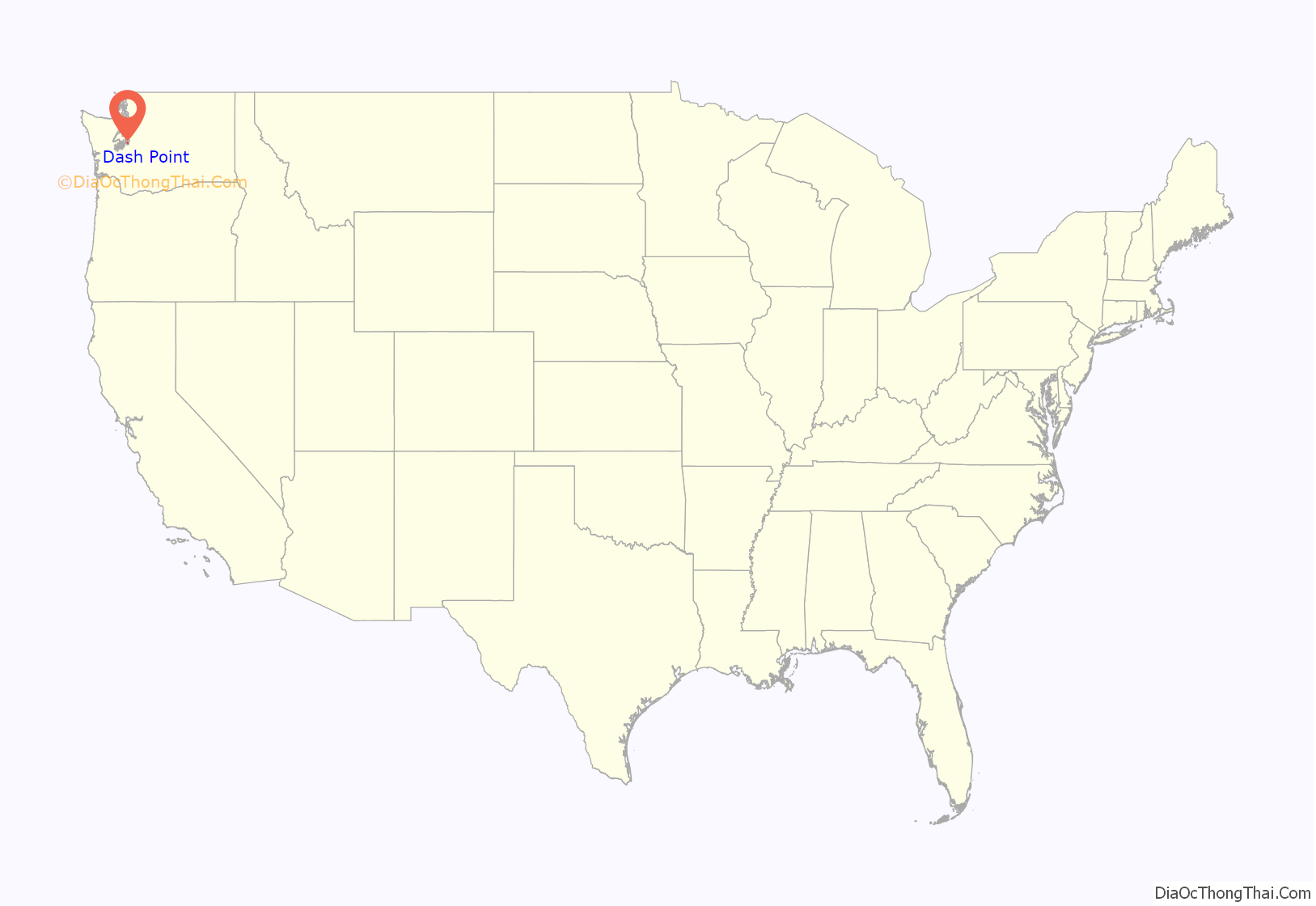
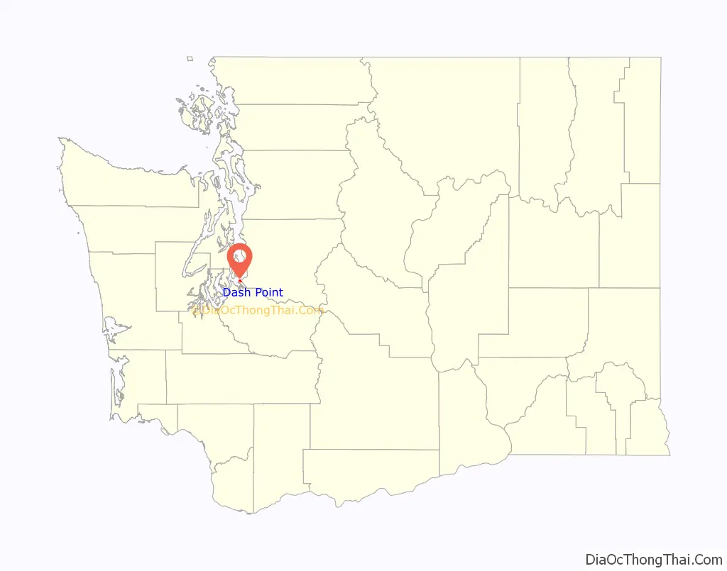
Dash Point location map. Where is Dash Point CDP?
History
Prior to being known as Dash Point the area was known as lson Landing, Fairview Beach, and Woodstock Beach. The origin of the name Dash Point is unclear. The area was named Dash Point on official maps by 1877.
The land was sold by the McLeod family to the State of Washington in the late 1940s for use as a park. The park was dedicated and developed in 1962 for the Seattle World’s Fair.
Dash Point Road Map
Dash Point city Satellite Map
See also
Map of Washington State and its subdivision:- Adams
- Asotin
- Benton
- Chelan
- Clallam
- Clark
- Columbia
- Cowlitz
- Douglas
- Ferry
- Franklin
- Garfield
- Grant
- Grays Harbor
- Island
- Jefferson
- King
- Kitsap
- Kittitas
- Klickitat
- Lewis
- Lincoln
- Mason
- Okanogan
- Pacific
- Pend Oreille
- Pierce
- San Juan
- Skagit
- Skamania
- Snohomish
- Spokane
- Stevens
- Thurston
- Wahkiakum
- Walla Walla
- Whatcom
- Whitman
- Yakima
- Alabama
- Alaska
- Arizona
- Arkansas
- California
- Colorado
- Connecticut
- Delaware
- District of Columbia
- Florida
- Georgia
- Hawaii
- Idaho
- Illinois
- Indiana
- Iowa
- Kansas
- Kentucky
- Louisiana
- Maine
- Maryland
- Massachusetts
- Michigan
- Minnesota
- Mississippi
- Missouri
- Montana
- Nebraska
- Nevada
- New Hampshire
- New Jersey
- New Mexico
- New York
- North Carolina
- North Dakota
- Ohio
- Oklahoma
- Oregon
- Pennsylvania
- Rhode Island
- South Carolina
- South Dakota
- Tennessee
- Texas
- Utah
- Vermont
- Virginia
- Washington
- West Virginia
- Wisconsin
- Wyoming


