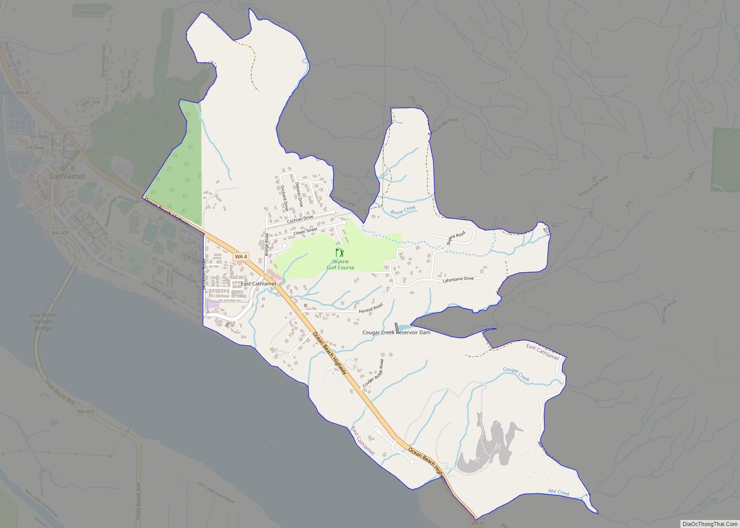
East Cathlamet is a census-designated place (CDP) in Wahkiakum County, Washington, on the eastern border of the town of Cathlamet. The population was 491 as of the 2010 census. The East Cathlamet community is part of the Wahkiakum School District, a K-12 school district of about 430 students. The name “Kathlamet” (Cathlamet) comes from the Kathlamet tribe, which in their language, means “rocky shore.”
| Name: | East Cathlamet CDP |
|---|---|
| LSAD Code: | 57 |
| LSAD Description: | CDP (suffix) |
| State: | Washington |
| County: | Wahkiakum County |
| Elevation: | 400 ft (122 m) |
| Total Area: | 1.713 sq mi (4.436 km²) |
| Land Area: | 1.713 sq mi (4.436 km²) |
| Water Area: | 0.000 sq mi (0.000 km²) 0.00% |
| Total Population: | 491 |
| ZIP code: | 98612 |
| Area code: | 360 |
| FIPS code: | 5319290 |
| GNISfeature ID: | 2408703 |
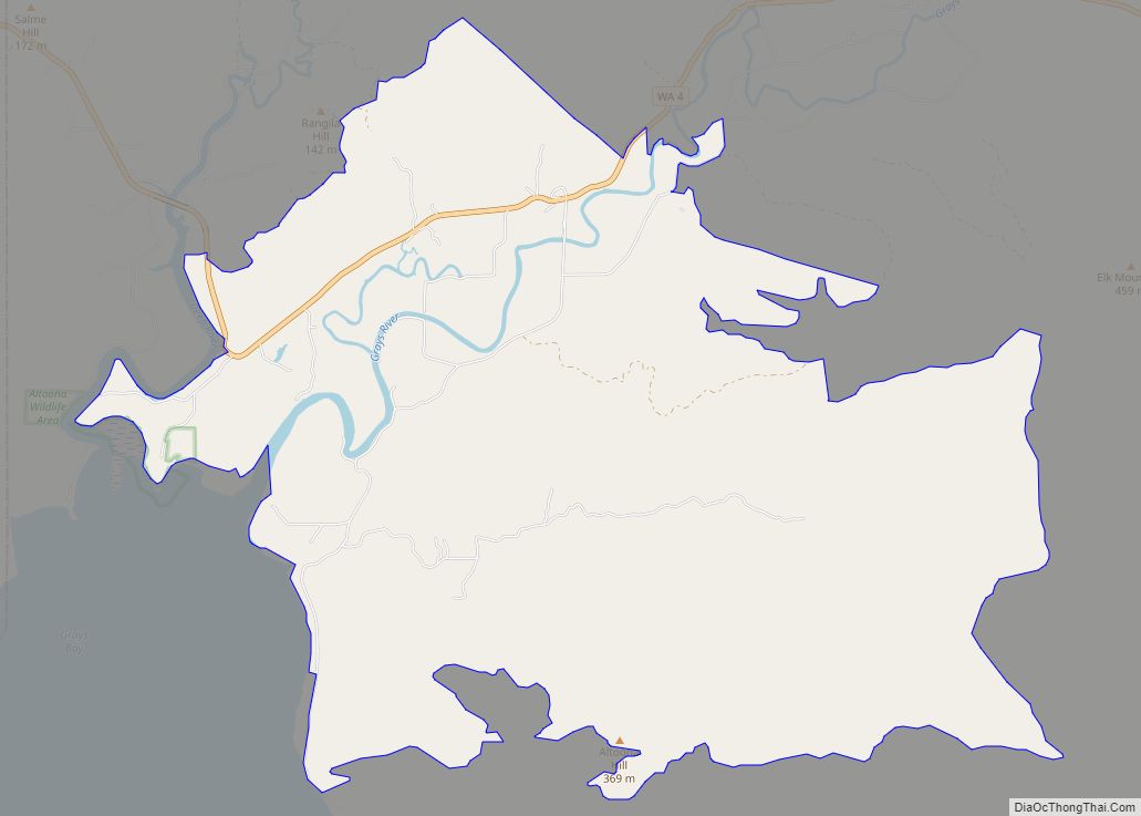
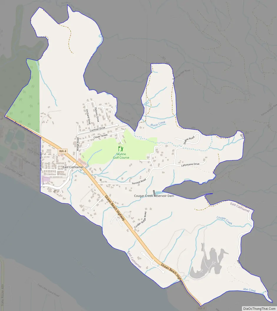
Online Interactive Map
Click on ![]() to view map in "full screen" mode.
to view map in "full screen" mode.
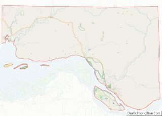
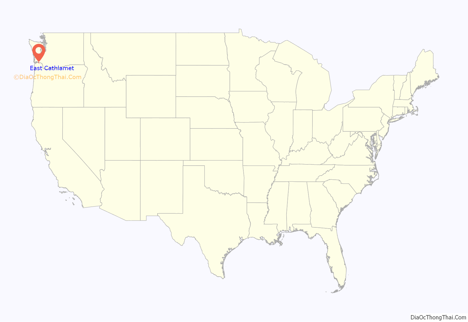
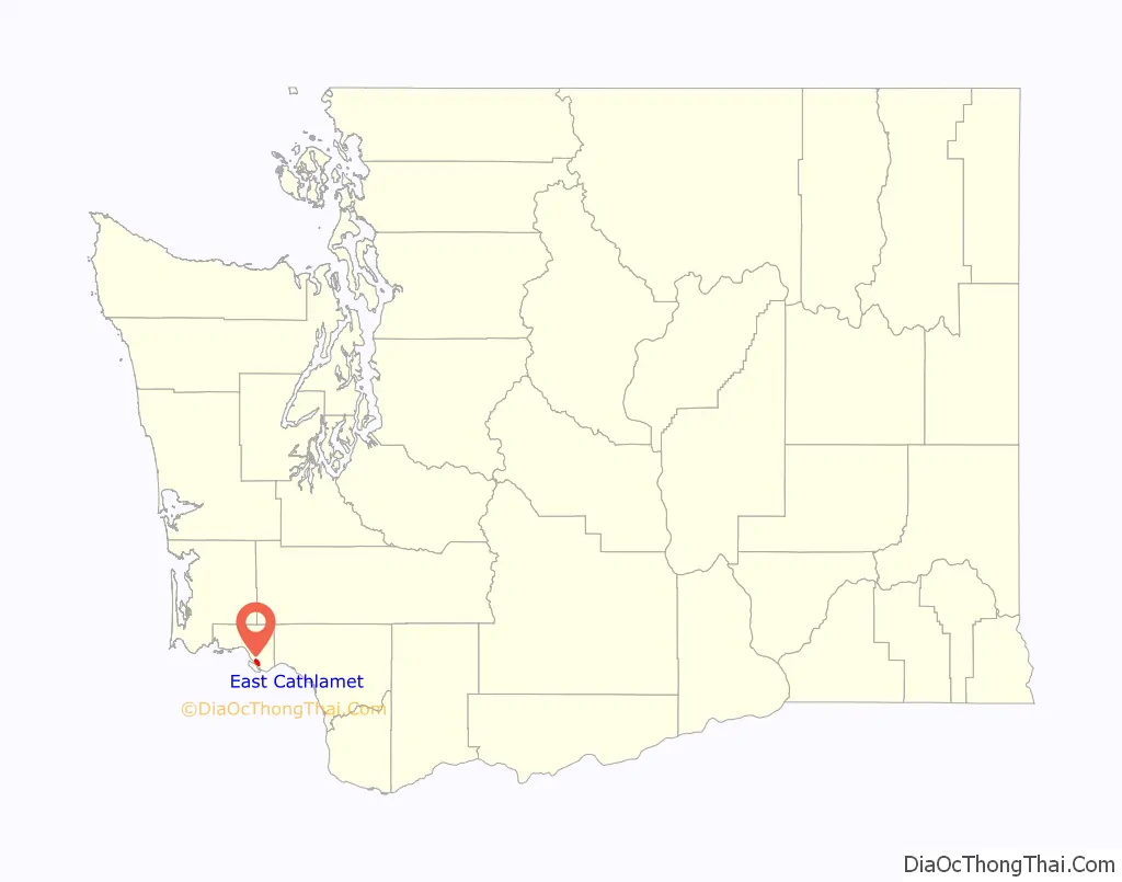
East Cathlamet location map. Where is East Cathlamet CDP?
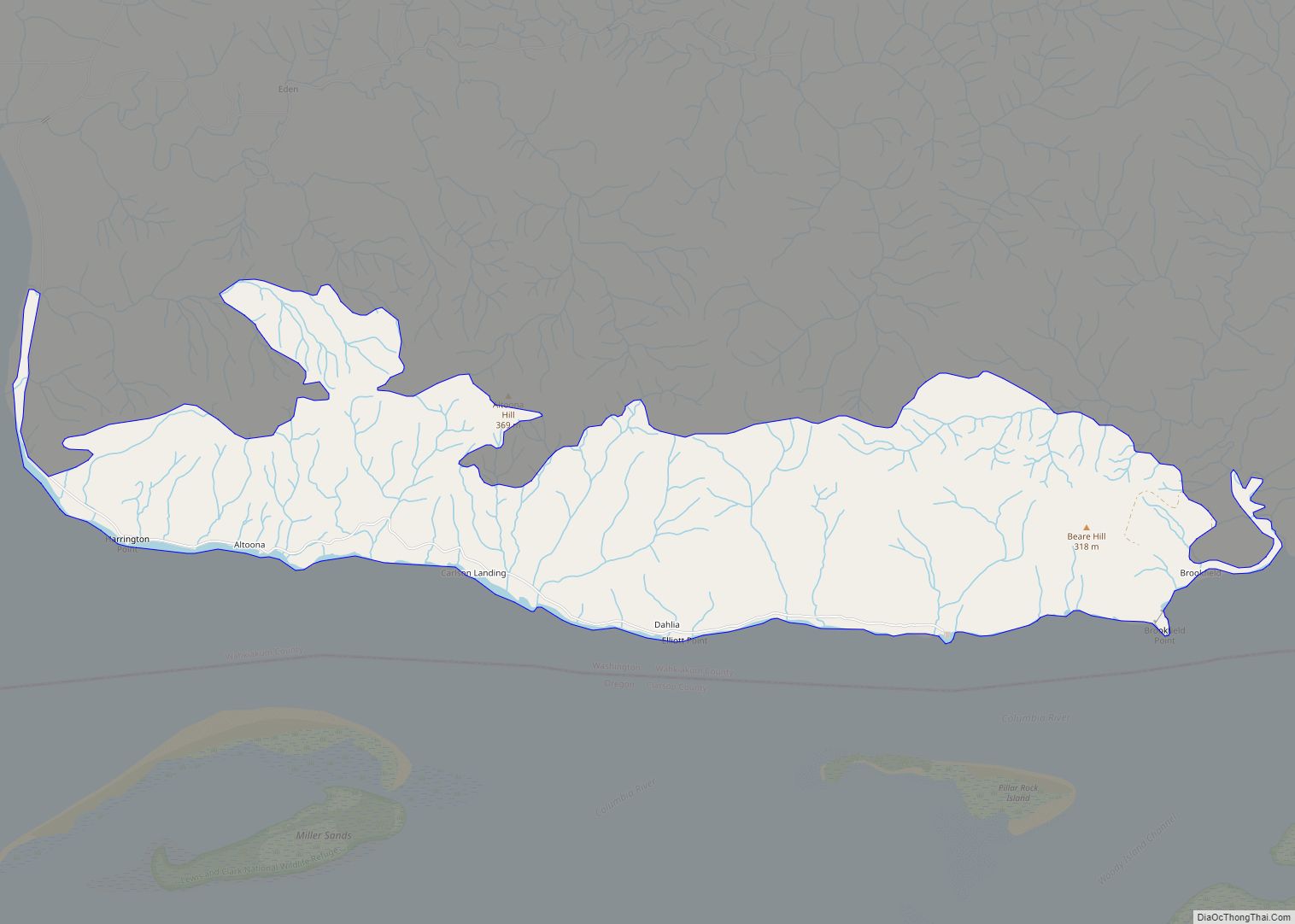
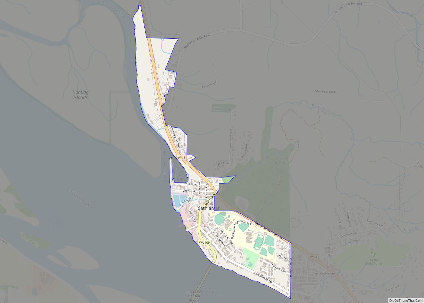
East Cathlamet Road Map
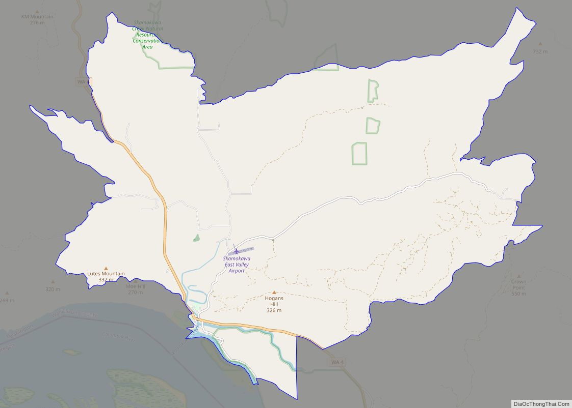
East Cathlamet city Satellite Map

Geography
East Cathlamet is located at 46°11′48″N 123°21′29″W / 46.19667°N 123.35806°W / 46.19667; -123.35806 (46.19679, -123.358035).
According to the United States Census Bureau, the CDP has a total area of 1.71 square miles (4.44 km), of which all of it is land and none of it is water.
See also
Map of Washington State and its subdivision:- Adams
- Asotin
- Benton
- Chelan
- Clallam
- Clark
- Columbia
- Cowlitz
- Douglas
- Ferry
- Franklin
- Garfield
- Grant
- Grays Harbor
- Island
- Jefferson
- King
- Kitsap
- Kittitas
- Klickitat
- Lewis
- Lincoln
- Mason
- Okanogan
- Pacific
- Pend Oreille
- Pierce
- San Juan
- Skagit
- Skamania
- Snohomish
- Spokane
- Stevens
- Thurston
- Wahkiakum
- Walla Walla
- Whatcom
- Whitman
- Yakima
- Alabama
- Alaska
- Arizona
- Arkansas
- California
- Colorado
- Connecticut
- Delaware
- District of Columbia
- Florida
- Georgia
- Hawaii
- Idaho
- Illinois
- Indiana
- Iowa
- Kansas
- Kentucky
- Louisiana
- Maine
- Maryland
- Massachusetts
- Michigan
- Minnesota
- Mississippi
- Missouri
- Montana
- Nebraska
- Nevada
- New Hampshire
- New Jersey
- New Mexico
- New York
- North Carolina
- North Dakota
- Ohio
- Oklahoma
- Oregon
- Pennsylvania
- Rhode Island
- South Carolina
- South Dakota
- Tennessee
- Texas
- Utah
- Vermont
- Virginia
- Washington
- West Virginia
- Wisconsin
- Wyoming