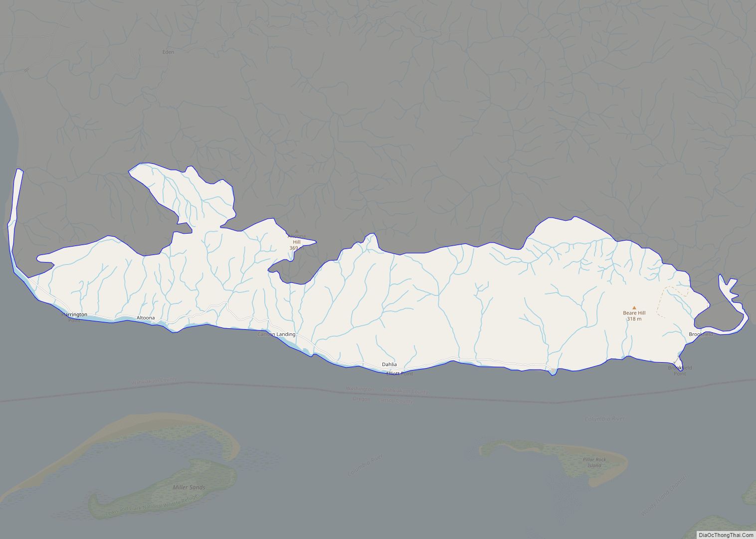
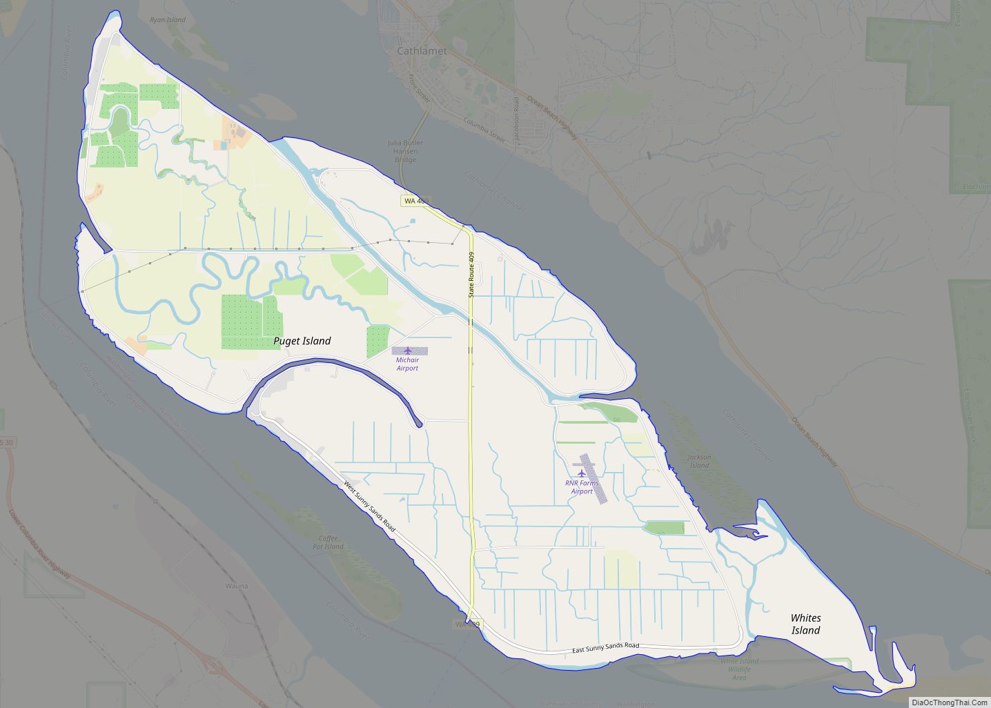
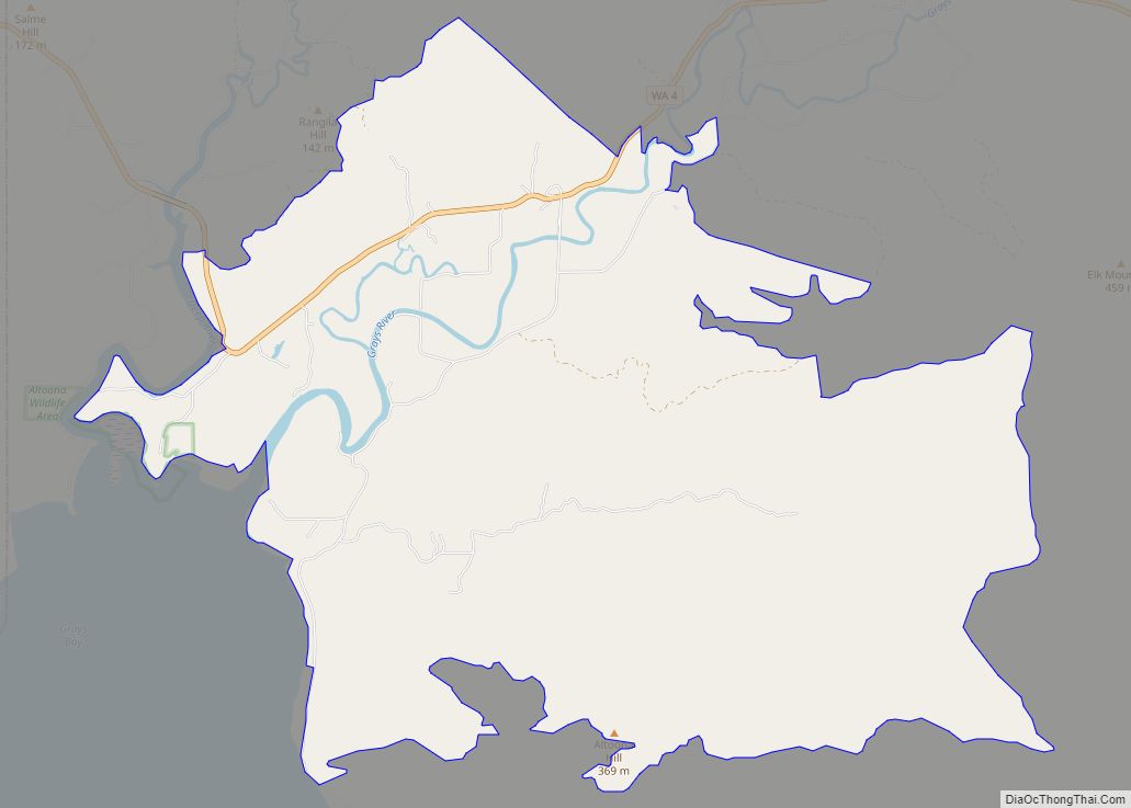
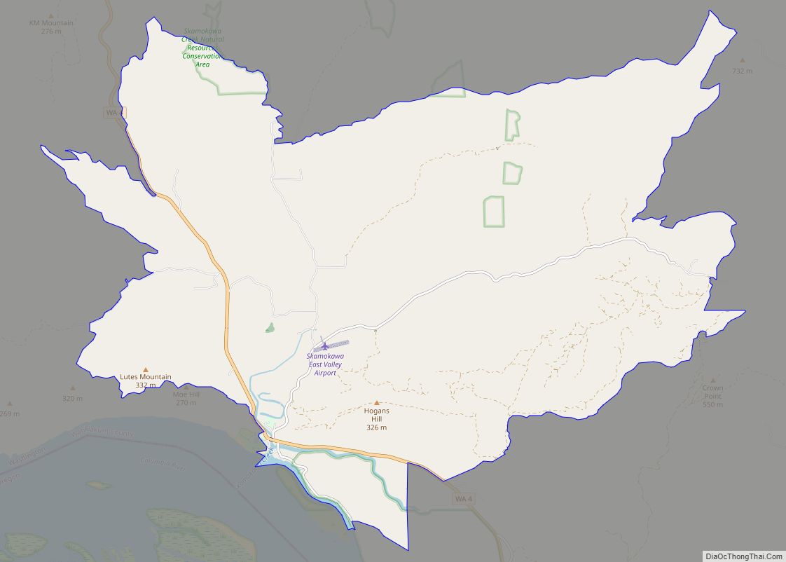
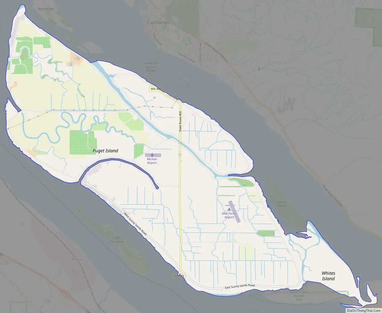
Puget Island is a 7.5 sq mi(4,785 acre; 19.365 km) island and Census-designated place (CDP) in the Columbia River in Wahkiakum County, Washington, United States. The Julia Butler Hansen Bridge (built in 1938) carries State Route 409 across the Cathlamet Channel to connect the island to the town of Cathlamet, Washington. Route 409 crosses the island to its southern shore, where it connects with the county-operated Wahkiakum County Ferry, Oscar B, providing service to Westport, Oregon. The 2010 census reported a population of 831 persons.
Puget Island’s Robert W. Little Preserve is home to a population of endangered Columbian white-tailed deer.
The island was named for Peter Puget, a lieutenant in the Vancouver Expedition of exploration, which first mapped the island in 1792.
| Name: | Puget Island CDP |
|---|---|
| LSAD Code: | 57 |
| LSAD Description: | CDP (suffix) |
| State: | Washington |
| County: | Wahkiakum County |
| Total Area: | 7.477 sq mi (19.365 km²) |
| Total Population: | 831 |
| Population Density: | 110/sq mi (43/km²) |
| FIPS code: | 5356555 |
Online Interactive Map
Click on ![]() to view map in "full screen" mode.
to view map in "full screen" mode.
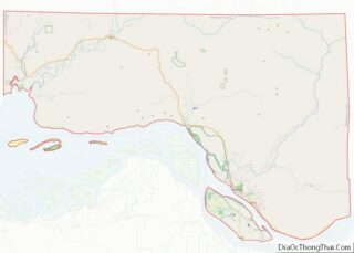
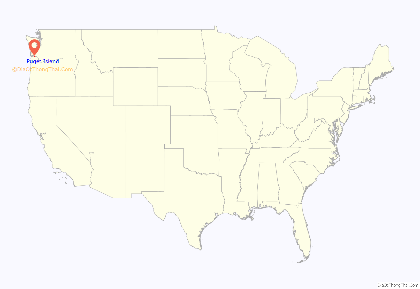
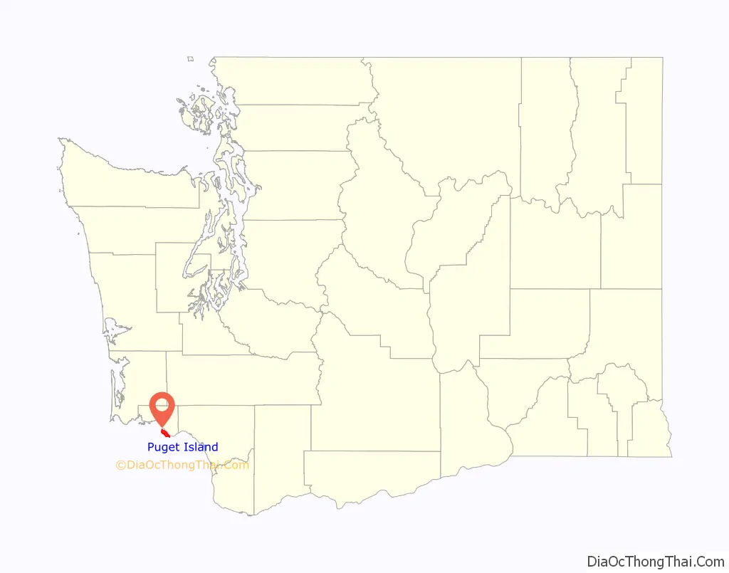
Puget Island location map. Where is Puget Island CDP?
Puget Island Road Map
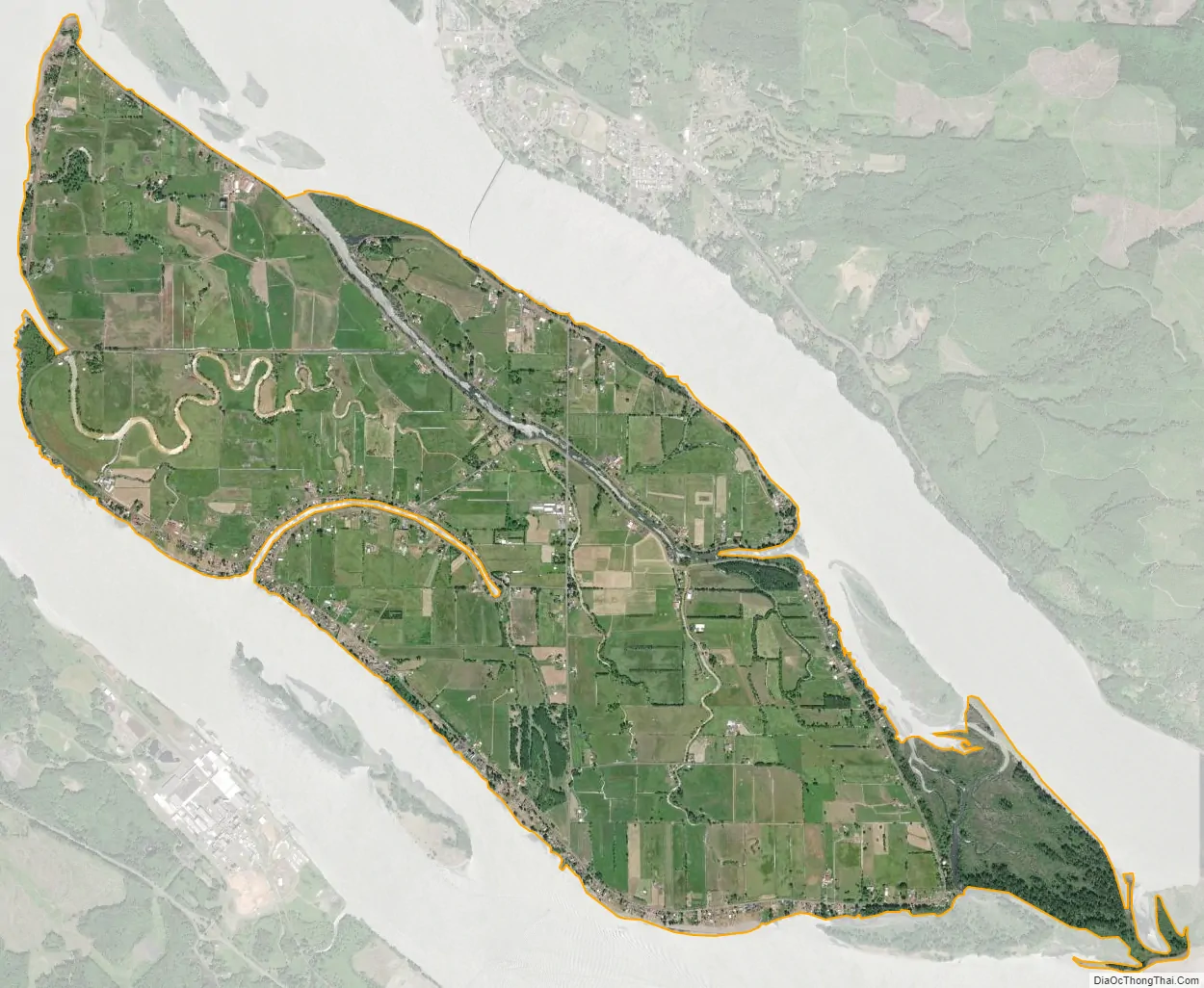
Puget Island city Satellite Map
See also
Map of Washington State and its subdivision:- Adams
- Asotin
- Benton
- Chelan
- Clallam
- Clark
- Columbia
- Cowlitz
- Douglas
- Ferry
- Franklin
- Garfield
- Grant
- Grays Harbor
- Island
- Jefferson
- King
- Kitsap
- Kittitas
- Klickitat
- Lewis
- Lincoln
- Mason
- Okanogan
- Pacific
- Pend Oreille
- Pierce
- San Juan
- Skagit
- Skamania
- Snohomish
- Spokane
- Stevens
- Thurston
- Wahkiakum
- Walla Walla
- Whatcom
- Whitman
- Yakima
- Alabama
- Alaska
- Arizona
- Arkansas
- California
- Colorado
- Connecticut
- Delaware
- District of Columbia
- Florida
- Georgia
- Hawaii
- Idaho
- Illinois
- Indiana
- Iowa
- Kansas
- Kentucky
- Louisiana
- Maine
- Maryland
- Massachusetts
- Michigan
- Minnesota
- Mississippi
- Missouri
- Montana
- Nebraska
- Nevada
- New Hampshire
- New Jersey
- New Mexico
- New York
- North Carolina
- North Dakota
- Ohio
- Oklahoma
- Oregon
- Pennsylvania
- Rhode Island
- South Carolina
- South Dakota
- Tennessee
- Texas
- Utah
- Vermont
- Virginia
- Washington
- West Virginia
- Wisconsin
- Wyoming