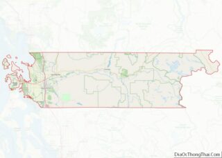
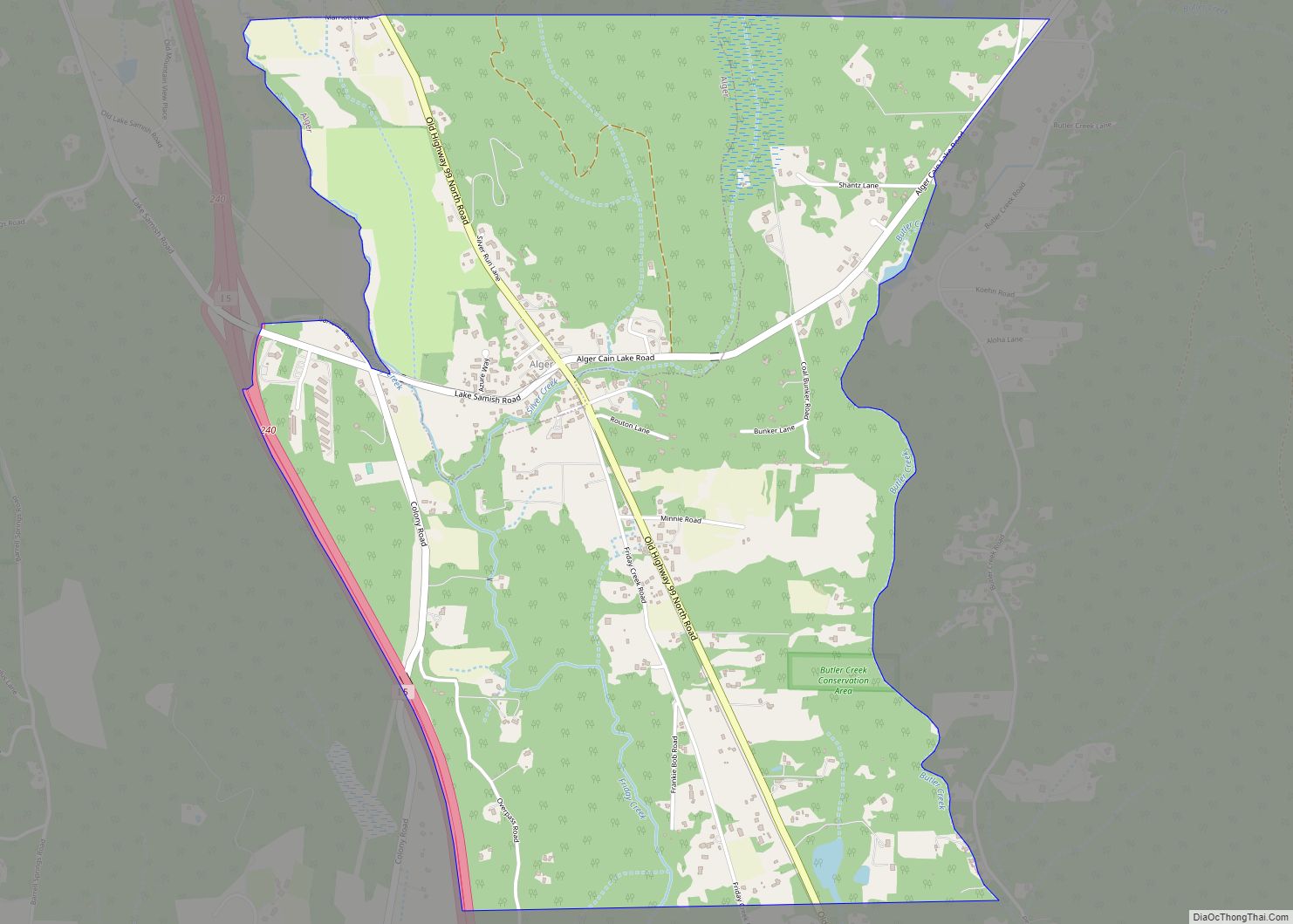
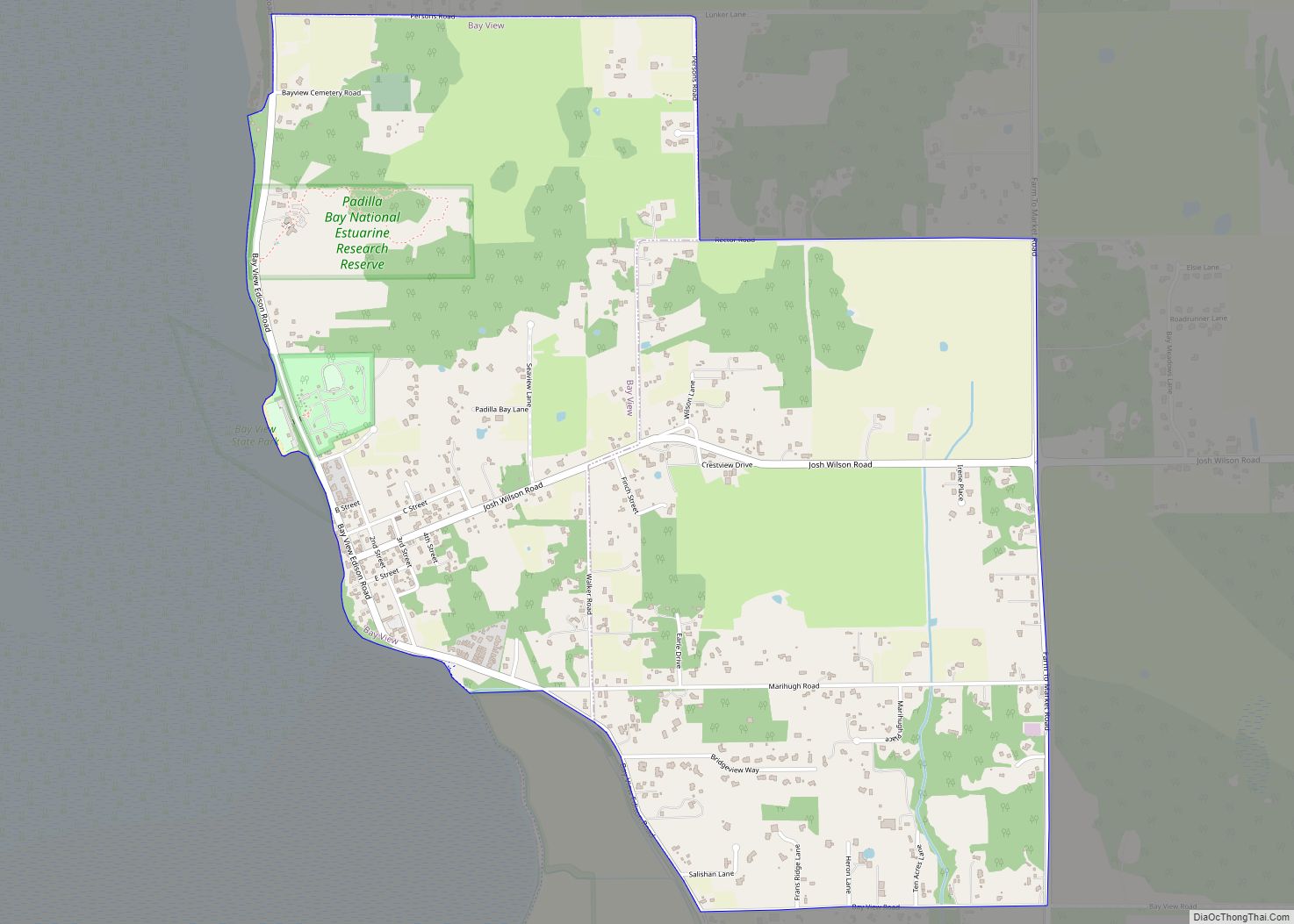
Edison is a census-designated place (CDP) in Skagit County, Washington, United States. The population was 133 at the 2010 census. It is included in the Mount Vernon–Anacortes, Washington Metropolitan Statistical Area.
| Name: | Edison CDP |
|---|---|
| LSAD Code: | 57 |
| LSAD Description: | CDP (suffix) |
| State: | Washington |
| County: | Skagit County |
| Elevation: | 7 ft (2 m) |
| Total Area: | 0.6 sq mi (1.5 km²) |
| Land Area: | 0.6 sq mi (1.5 km²) |
| Water Area: | 0.0 sq mi (0.0 km²) |
| Total Population: | 133 |
| Population Density: | 227.4/sq mi (87.8/km²) |
| ZIP code: | 98232 |
| Area code: | 360 |
| FIPS code: | 5320680 |
| GNISfeature ID: | 1519188 |
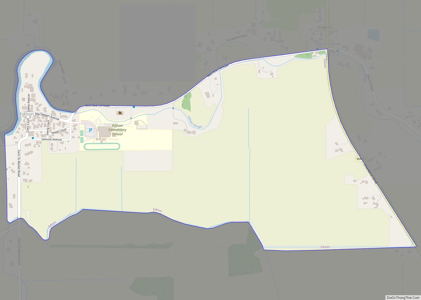
Online Interactive Map
Click on ![]() to view map in "full screen" mode.
to view map in "full screen" mode.
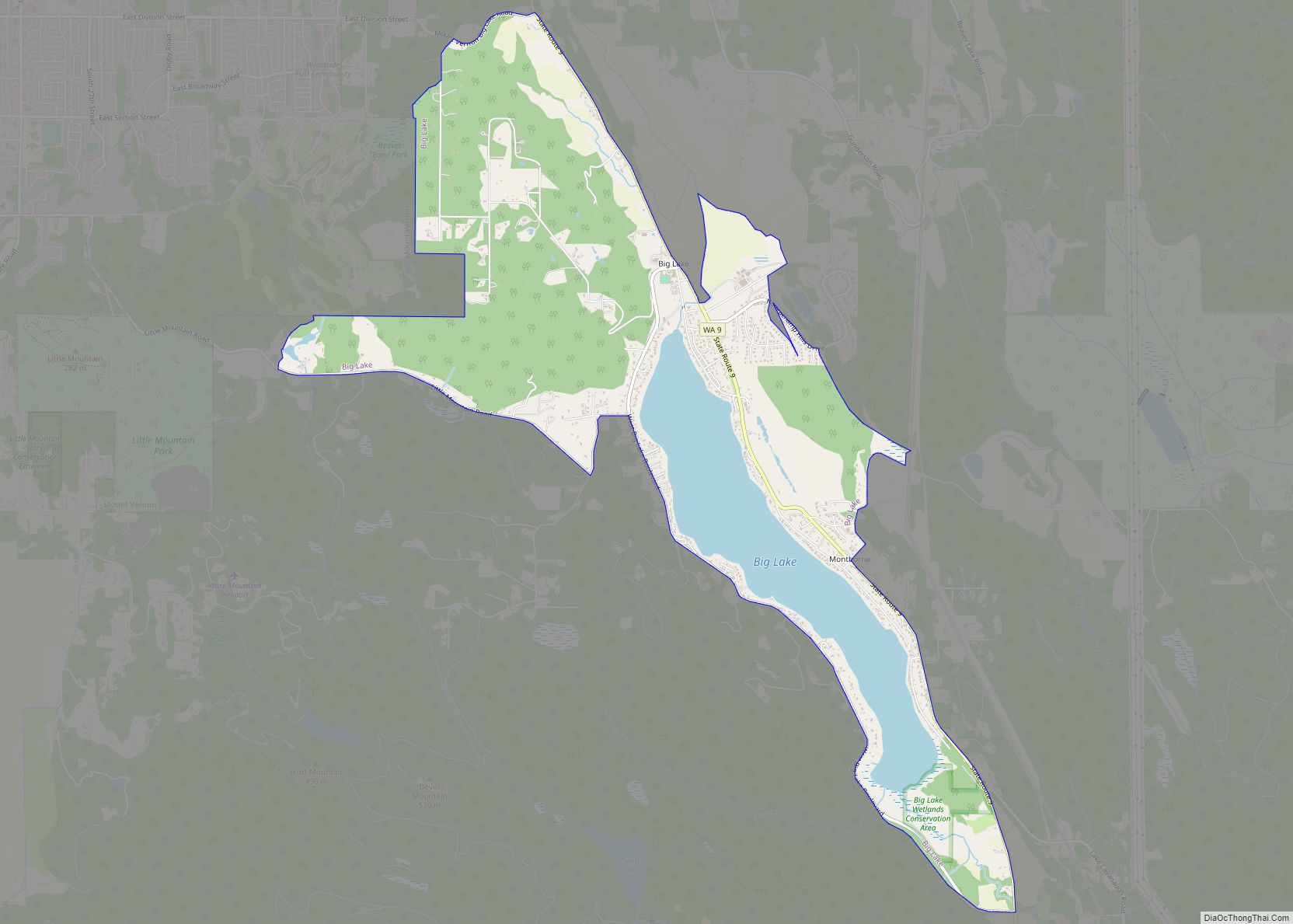
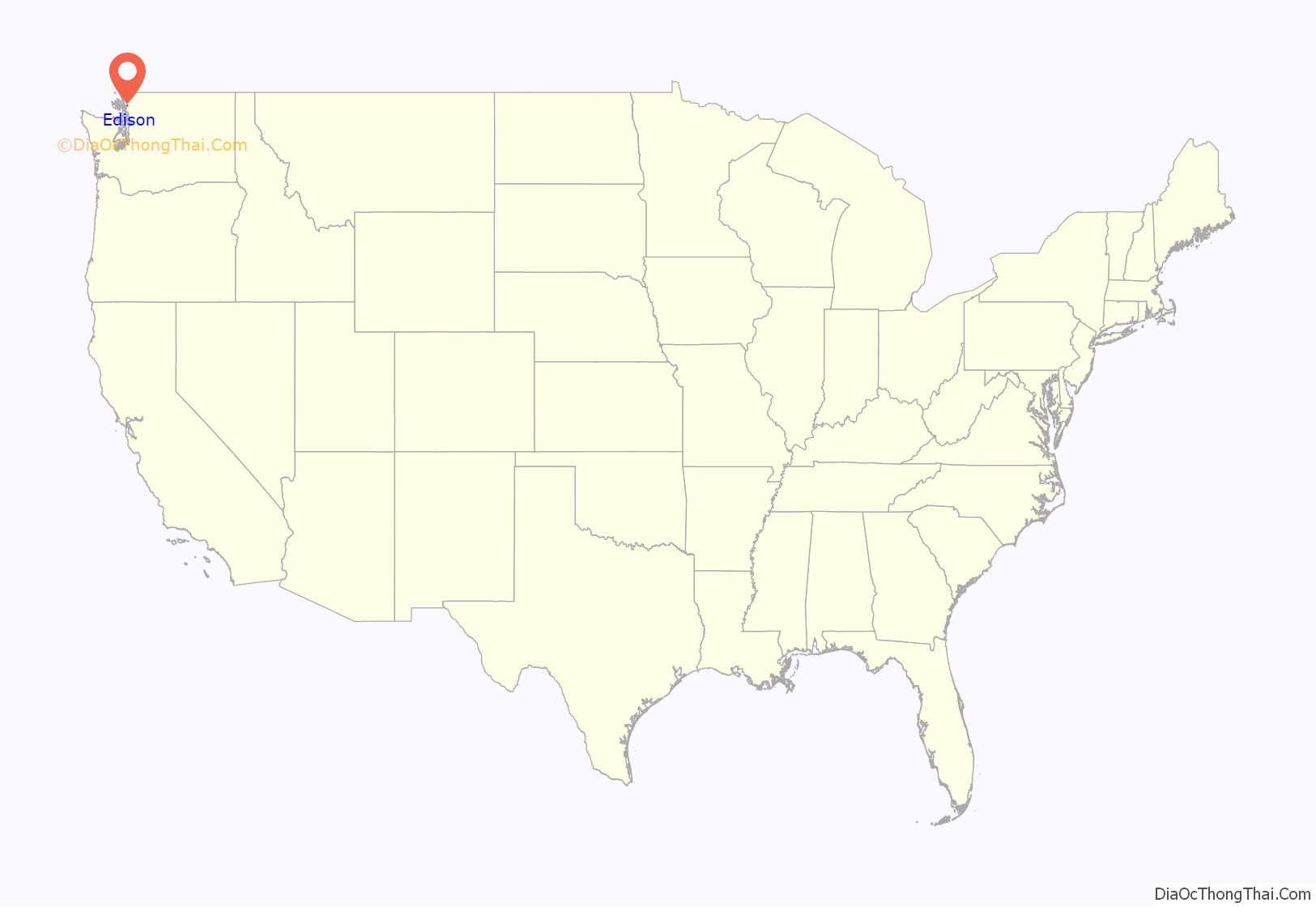
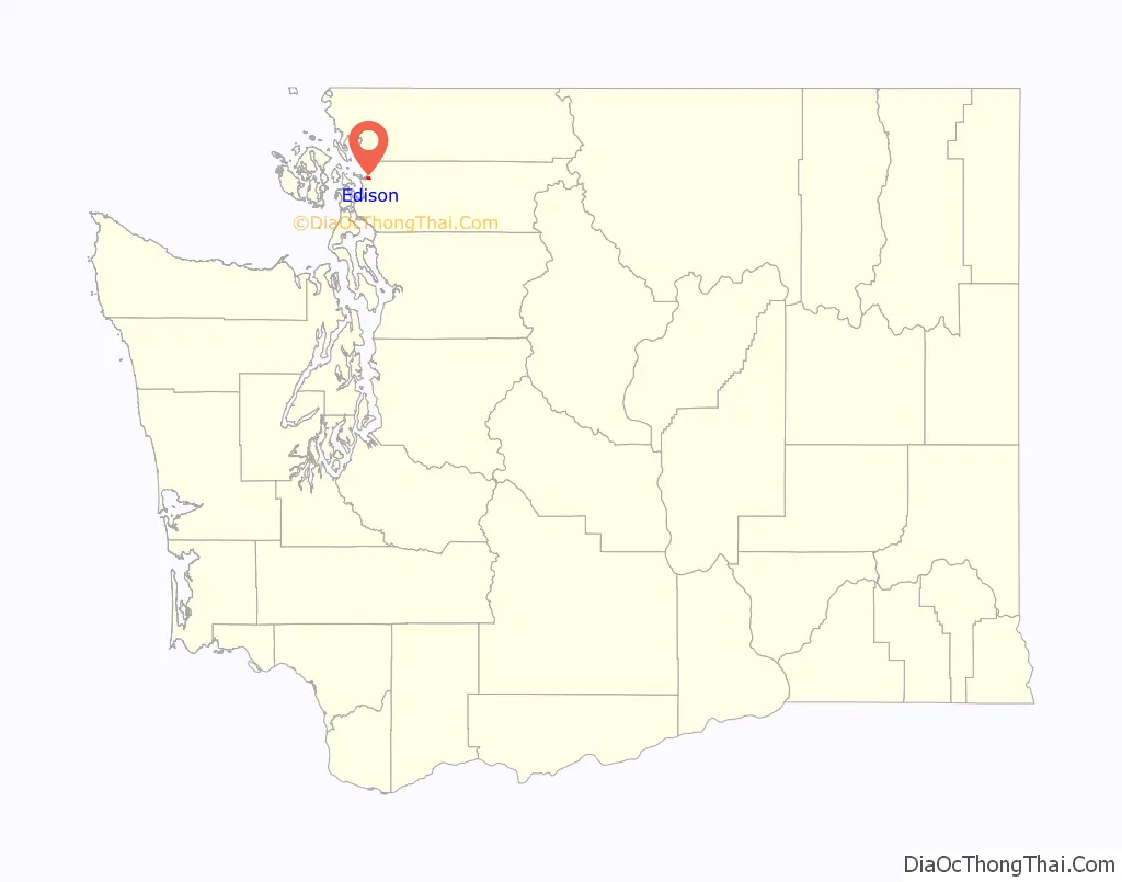
Edison location map. Where is Edison CDP?
History
First settled in 1869 by Ben Samson, it was later named for inventor Thomas Edison.
In 1897 Edison became the headquarters of a national utopian socialist project known as Equality Colony, backed by an organization known as the Brotherhood of the Cooperative Commonwealth. The socialist colony was established on 280 acres just outside Edison and it engaged in farming and timber milling and included a school as well as blacksmith and copper-working shops. The Edison-based Brotherhood also published a newspaper called Industrial Freedom for national circulation to its approximately 3,000 supporters. The socialist community folded shortly after 1903, by which time only about 100 colony members remained.
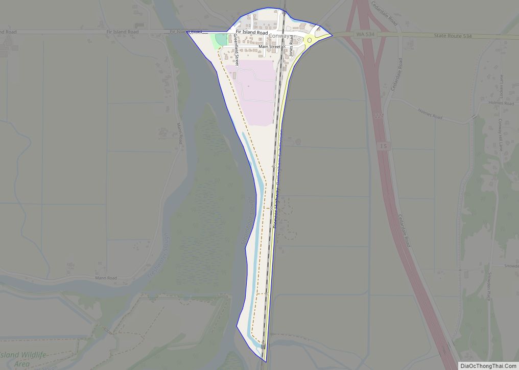
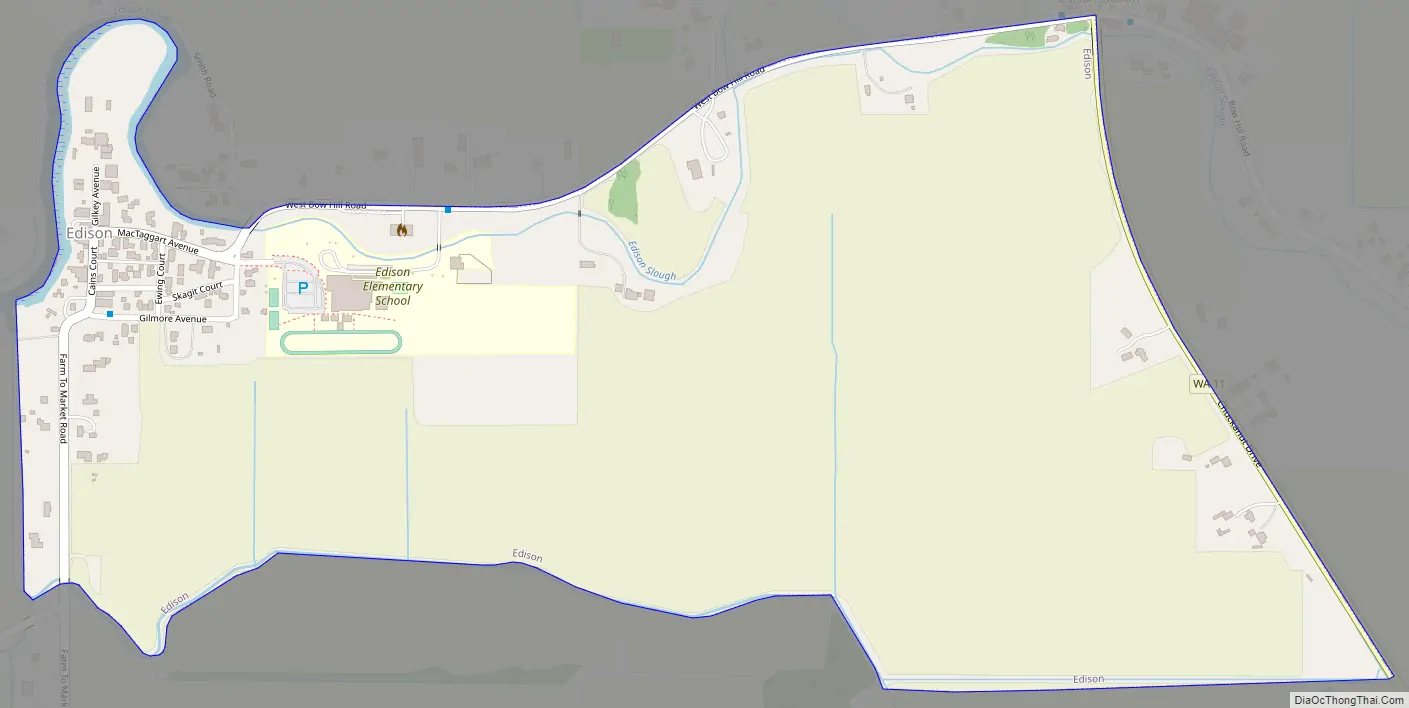
Edison Road Map
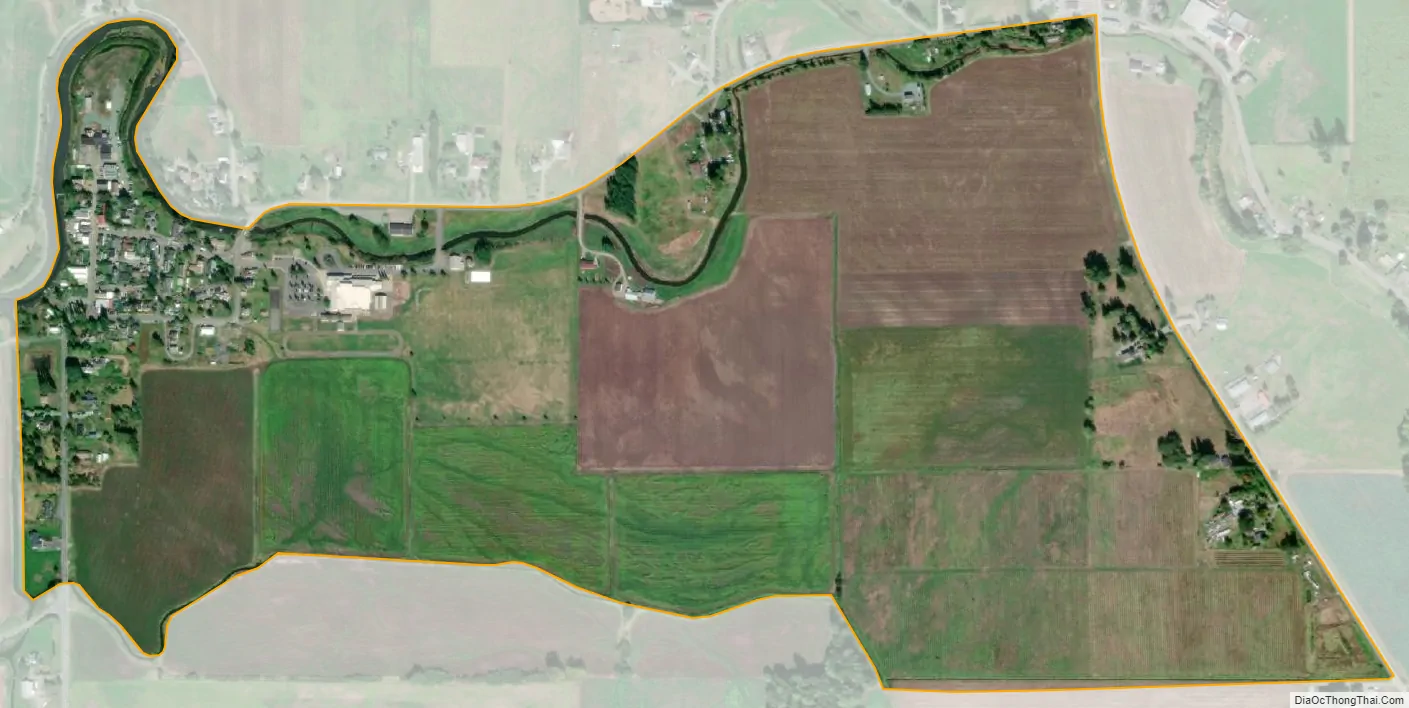
Edison city Satellite Map
Geography
Edison is located at 48°33′45″N 122°26′11″W / 48.56250°N 122.43639°W / 48.56250; -122.43639 (48.562531, -122.436514).
According to the United States Census Bureau, the CDP has a total area of 0.6 square miles (1.5 km), all of it land.
See also
Map of Washington State and its subdivision:- Adams
- Asotin
- Benton
- Chelan
- Clallam
- Clark
- Columbia
- Cowlitz
- Douglas
- Ferry
- Franklin
- Garfield
- Grant
- Grays Harbor
- Island
- Jefferson
- King
- Kitsap
- Kittitas
- Klickitat
- Lewis
- Lincoln
- Mason
- Okanogan
- Pacific
- Pend Oreille
- Pierce
- San Juan
- Skagit
- Skamania
- Snohomish
- Spokane
- Stevens
- Thurston
- Wahkiakum
- Walla Walla
- Whatcom
- Whitman
- Yakima
- Alabama
- Alaska
- Arizona
- Arkansas
- California
- Colorado
- Connecticut
- Delaware
- District of Columbia
- Florida
- Georgia
- Hawaii
- Idaho
- Illinois
- Indiana
- Iowa
- Kansas
- Kentucky
- Louisiana
- Maine
- Maryland
- Massachusetts
- Michigan
- Minnesota
- Mississippi
- Missouri
- Montana
- Nebraska
- Nevada
- New Hampshire
- New Jersey
- New Mexico
- New York
- North Carolina
- North Dakota
- Ohio
- Oklahoma
- Oregon
- Pennsylvania
- Rhode Island
- South Carolina
- South Dakota
- Tennessee
- Texas
- Utah
- Vermont
- Virginia
- Washington
- West Virginia
- Wisconsin
- Wyoming