Elbe (/ˈɛlbiː/) is a census-designated place (CDP) in Pierce County, Washington, United States. The population was 29 at the 2010 census.
| Name: | Elbe CDP |
|---|---|
| LSAD Code: | 57 |
| LSAD Description: | CDP (suffix) |
| State: | Washington |
| County: | Pierce County |
| Elevation: | 1,214 ft (370 m) |
| Total Population: | 54 |
| Population Density: | 818.2/sq mi (315.9/km²) |
| ZIP code: | 98330 |
| Area code: | 360 |
| FIPS code: | 5320890 |
| GNISfeature ID: | 1519220 |
Online Interactive Map
Click on ![]() to view map in "full screen" mode.
to view map in "full screen" mode.
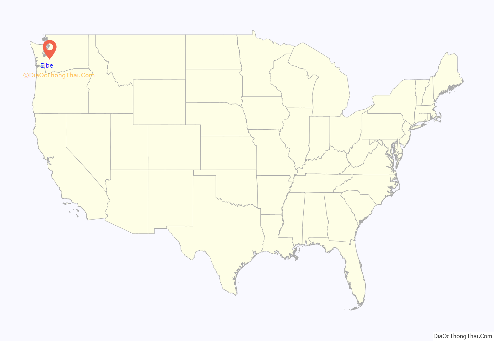
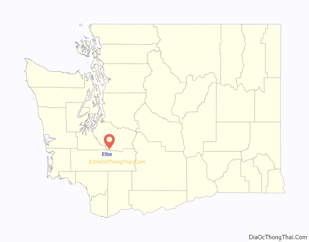
Elbe location map. Where is Elbe CDP?
History
Elbe was known as Brown’s Junction after the Tacoma & Eastern Railway was built in the region. When a post office was requested a shorter name was demanded. A meeting of settlers decided to honor the pioneer settler Henry C. Lutkens who had come from the valley of the Elbe in Germany.
In 1888 the first settlers came to the forests on the Nisqually River. Some of them were the German emigrants Karl Lütkens and Adam Sachs. Karl Lütkens, who was only 19 at the time, was so enthusiastic about his new home that he persuaded his parents Heinrich and Christina Lütkens to come to America as well. These left their previous home in Todendorf in the district Stormarn in Schleswig-Holstein and arrived in America in 1891. The first settlers in this area also included Ferdinand Selle, Christian Fritz, Louis Schuffenhauer, Christian Kruse, Max Ogans, Hans Bartels, Fred Duke, W. Lawrence, Levi Engel, Vincent Rotter, R. Schmidt, Frank Salzer, Gus Stoll and Christian Weilandt. The small town grew, and on June 4, 1892, a post office was already established here.
During this time, the place that was previously called Brown’s Junction received its current name. It is no longer known exactly how the naming came about. Many of today’s residents believe that Heinrich Lütkens suggested the name Elbe. However, everyone agrees that the name was chosen because the landscape of the Nisqually River at that time was reminiscent of the Elbe in the old homeland.
The economic development of the place in the following years was good. Nearby Mount Rainier was the destination of many tourists who took a break on their way to Elbe. In 1894 Heinrich Lütkens and his son Karl built a tourist hotel with 48 rooms. Ferdinand Selle had previously built a hotel, but it burned down after a short time. At that time, the village blacksmith Levi Engel was temporarily the editor of a newspaper called “Elbe Union”. With his plate camera Levi Engel accompanied the village life for many years. In 1894 a town hall was also built, in which various events, including A. Dance events took place.
In 1895 Heinrich Lütkens and his family had a special reunion. From Hamfelde in the district Herzogtum Lauenburg in Schleswig-Holstein was Carl Böttcher, the brother-in-law of Lütkens, emigrated with his family and settled in a neighboring town of Elbe.
In 1904, the town of Elbe was connected to the “Tacoma Eastern Railroad” rail network, after which the number of tourists increased rapidly. Another large hotel and several restaurants were built. The local co-founder Adam Sachs opened a department store during this time. Two years later, the villagers built a church. The building material and the plot of land were donated by Heinrich Lütkens. Until the opening of the church, the residents of Elbe had celebrated their services in private houses or in the town hall. In 1909 Elbe already had 250 inhabitants and in the course of the 20th century the population rose to 437.
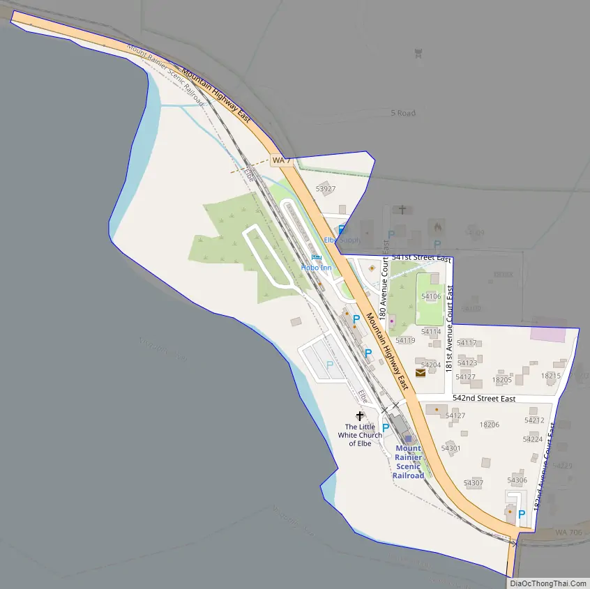
Elbe Road Map
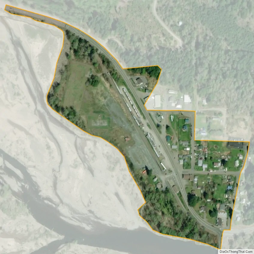
Elbe city Satellite Map
Geography
Elbe is located at 46°45′54″N 122°11′35″W / 46.76500°N 122.19306°W / 46.76500; -122.19306 (46.764924, -122.193117).
According to the United States Census Bureau, the CDP has a total area of 0.0 square miles (0.1 km), all of it land.
Elbe is located approximately 76 kilometers south of Seattle and approximately 140 kilometers north of Portland, Oregon. Mount Rainier is about 34 kilometers northeast.
Climate
Elbe has a warm-summer Mediterranean climate (Köppen Csb) typical for the North Coast, characterized by warm (occasionally hot) dry summers, and mild to chilly, rainy and snowy winters. In Elbe’s case the climate is moderated by the proximity to the Pacific Ocean with small temperature variations on average throughout the year, resulting in mild year-round temperatures, although winter can get cool with freezing and snow. Average high temperatures range from 43.3 °F (6.3 °C) in December to 76.7 °F (24.8 °C) in August. Elbe on average has very wet winters and summers with a few days of rainfall, also representative for the region. Temperatures of above 32 °F (0 °C) are common with measurable snowfall.
See also
Map of Washington State and its subdivision:- Adams
- Asotin
- Benton
- Chelan
- Clallam
- Clark
- Columbia
- Cowlitz
- Douglas
- Ferry
- Franklin
- Garfield
- Grant
- Grays Harbor
- Island
- Jefferson
- King
- Kitsap
- Kittitas
- Klickitat
- Lewis
- Lincoln
- Mason
- Okanogan
- Pacific
- Pend Oreille
- Pierce
- San Juan
- Skagit
- Skamania
- Snohomish
- Spokane
- Stevens
- Thurston
- Wahkiakum
- Walla Walla
- Whatcom
- Whitman
- Yakima
- Alabama
- Alaska
- Arizona
- Arkansas
- California
- Colorado
- Connecticut
- Delaware
- District of Columbia
- Florida
- Georgia
- Hawaii
- Idaho
- Illinois
- Indiana
- Iowa
- Kansas
- Kentucky
- Louisiana
- Maine
- Maryland
- Massachusetts
- Michigan
- Minnesota
- Mississippi
- Missouri
- Montana
- Nebraska
- Nevada
- New Hampshire
- New Jersey
- New Mexico
- New York
- North Carolina
- North Dakota
- Ohio
- Oklahoma
- Oregon
- Pennsylvania
- Rhode Island
- South Carolina
- South Dakota
- Tennessee
- Texas
- Utah
- Vermont
- Virginia
- Washington
- West Virginia
- Wisconsin
- Wyoming


