Fife is a city in Pierce County, Washington, United States and a suburb of Tacoma. The population was 10,999 at the 2020 census. Fife is contained within the Puyallup Indian Reservation.
| Name: | Fife city |
|---|---|
| LSAD Code: | 25 |
| LSAD Description: | city (suffix) |
| State: | Washington |
| County: | Pierce County |
| Elevation: | 23 ft (7 m) |
| Total Area: | 5.89 sq mi (15.25 km²) |
| Land Area: | 5.76 sq mi (14.91 km²) |
| Water Area: | 0.13 sq mi (0.34 km²) |
| Total Population: | 10,999 |
| Population Density: | 1,900/sq mi (720/km²) |
| ZIP code: | 98424 |
| Area code: | 253 |
| FIPS code: | 5323795 |
| GNISfeature ID: | 1512206 |
| Website: | cityoffife.org |
Online Interactive Map
Click on ![]() to view map in "full screen" mode.
to view map in "full screen" mode.
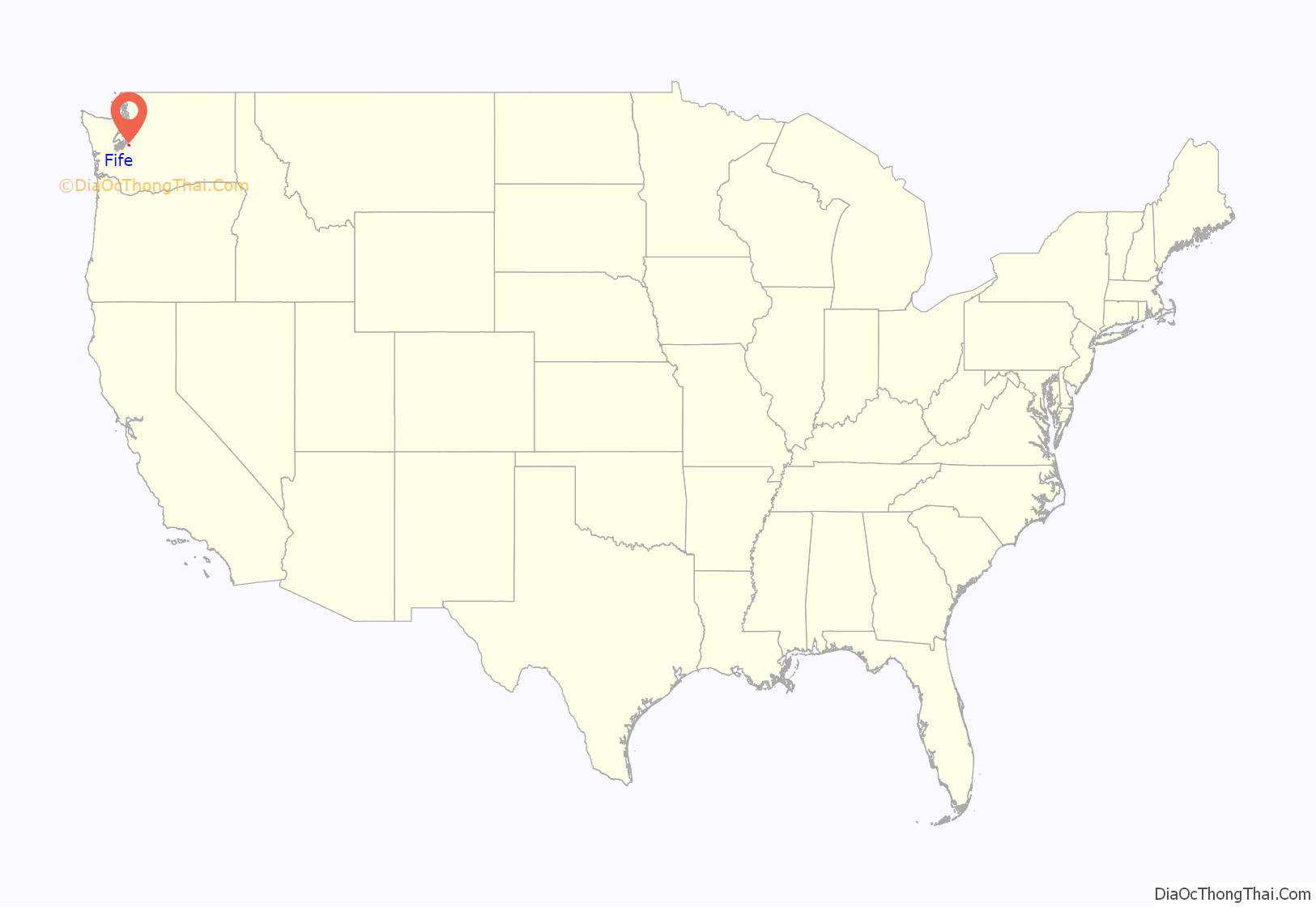
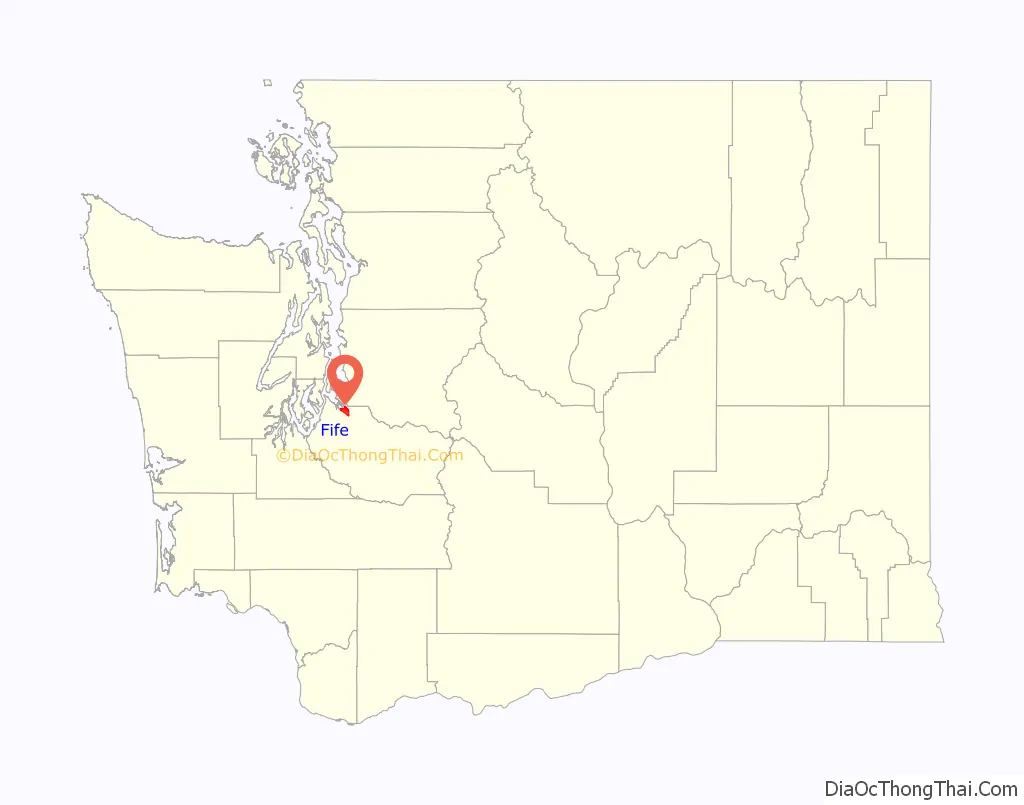
Fife location map. Where is Fife city?
History
The lower Puyallup basin is the ancestral home of the Puyallup people, who were relocated after the signing of the Medicine Creek Treaty in 1854. The treaty ceded Puyallup lands and created the Puyallup Indian Reservation, which was expanded to include modern-day Fife. The land on which the city sits was lost after the signing of the General Allotment Act in 1887 and other land transfers that were later resolved in a 1990 claims settlement.
In 1940, Fife was described as “at a valley crossroads in the midst of a thickly settled berry growing and truck-gardening district is represented by a string of markets, taverns, shops, and a large, balloon-roofed dance hall along the highway.” The 1940 population was 135. Fife was officially incorporated on February 11, 1957.
Due to the increased traffic volume traveling from Puyallup and Tacoma, Fife felt the need to establish itself as autonomous community, not just as an intermediate area between Interstate 5 (I-5) and State Route 167.
Fife may have been named for William J. Fife, a prominent Tacoma lawyer, Yukon prospector, once head of the Washington National Guard, and a lieutenant colonel in the field during the Philippine Insurrection. There is also a historic county of Scotland and former Pictish kingdom called Fife, which could also be a source of the city’s name.
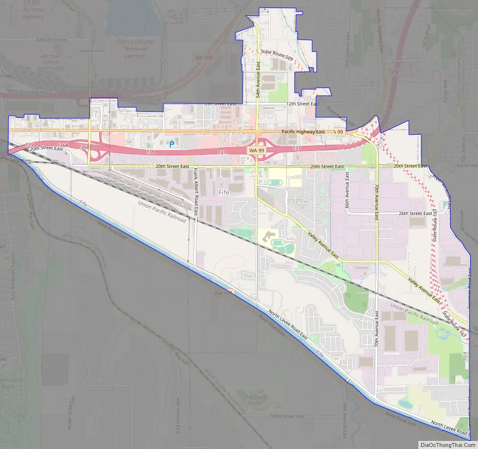
Fife Road Map
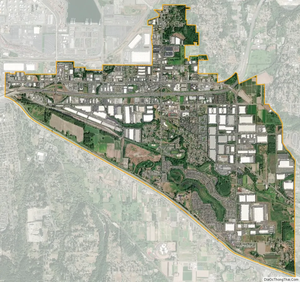
Fife city Satellite Map
Geography
Fife is located at 47°14′4″N 122°21′35″W / 47.23444°N 122.35972°W / 47.23444; -122.35972 (47.234439, -122.359690). It is entirely within the Puyallup Indian Reservation created in 1854, but title is held almost entirely by non-Native Americans.
According to the United States Census Bureau, the city has a total area of 5.83 square miles (15.10 km), of which 5.69 square miles (14.74 km) is land and 0.14 square miles (0.36 km) is water.
Fife is also a tideflat community, residing in the low, flat area extending from the Port of Tacoma. This means the water table occurs only 10–15 feet (3.0–4.6 m) below ground in some parts. Consequently, during the day, as the tide rises and falls in the Puget Sound, so do parts of land slightly rise and fall.
The southern portions of the city are in the floodplain of the Puyallup River. Much of the city would be damaged or destroyed in the event of a lahar due to an eruption of Mount Rainier.
See also
Map of Washington State and its subdivision:- Adams
- Asotin
- Benton
- Chelan
- Clallam
- Clark
- Columbia
- Cowlitz
- Douglas
- Ferry
- Franklin
- Garfield
- Grant
- Grays Harbor
- Island
- Jefferson
- King
- Kitsap
- Kittitas
- Klickitat
- Lewis
- Lincoln
- Mason
- Okanogan
- Pacific
- Pend Oreille
- Pierce
- San Juan
- Skagit
- Skamania
- Snohomish
- Spokane
- Stevens
- Thurston
- Wahkiakum
- Walla Walla
- Whatcom
- Whitman
- Yakima
- Alabama
- Alaska
- Arizona
- Arkansas
- California
- Colorado
- Connecticut
- Delaware
- District of Columbia
- Florida
- Georgia
- Hawaii
- Idaho
- Illinois
- Indiana
- Iowa
- Kansas
- Kentucky
- Louisiana
- Maine
- Maryland
- Massachusetts
- Michigan
- Minnesota
- Mississippi
- Missouri
- Montana
- Nebraska
- Nevada
- New Hampshire
- New Jersey
- New Mexico
- New York
- North Carolina
- North Dakota
- Ohio
- Oklahoma
- Oregon
- Pennsylvania
- Rhode Island
- South Carolina
- South Dakota
- Tennessee
- Texas
- Utah
- Vermont
- Virginia
- Washington
- West Virginia
- Wisconsin
- Wyoming


