Fircrest is a city in Pierce County, Washington, United States. The population was 7,156 at the 2020 census.
| Name: | Fircrest city |
|---|---|
| LSAD Code: | 25 |
| LSAD Description: | city (suffix) |
| State: | Washington |
| County: | Pierce County |
| Elevation: | 276 ft (84 m) |
| Total Area: | 1.58 sq mi (4.10 km²) |
| Land Area: | 1.58 sq mi (4.10 km²) |
| Water Area: | 0.00 sq mi (0.00 km²) |
| Total Population: | 7,156 |
| Population Density: | 4,317.75/sq mi (1,666.63/km²) |
| ZIP code: | 98466 |
| Area code: | 253 |
| FIPS code: | 5323970 |
| GNISfeature ID: | 1512209 |
| Website: | cityoffircrest.net |
Online Interactive Map
Click on ![]() to view map in "full screen" mode.
to view map in "full screen" mode.
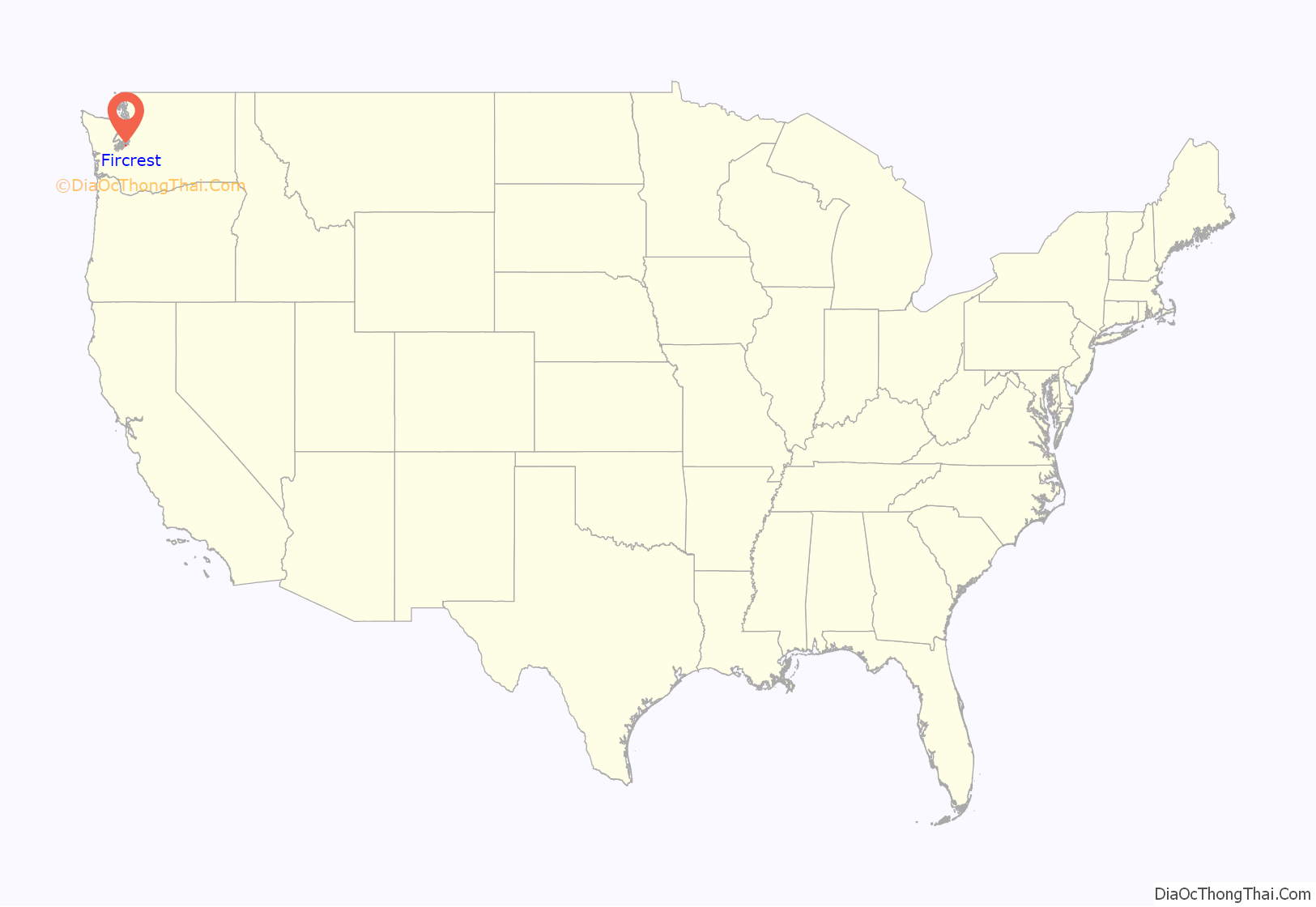
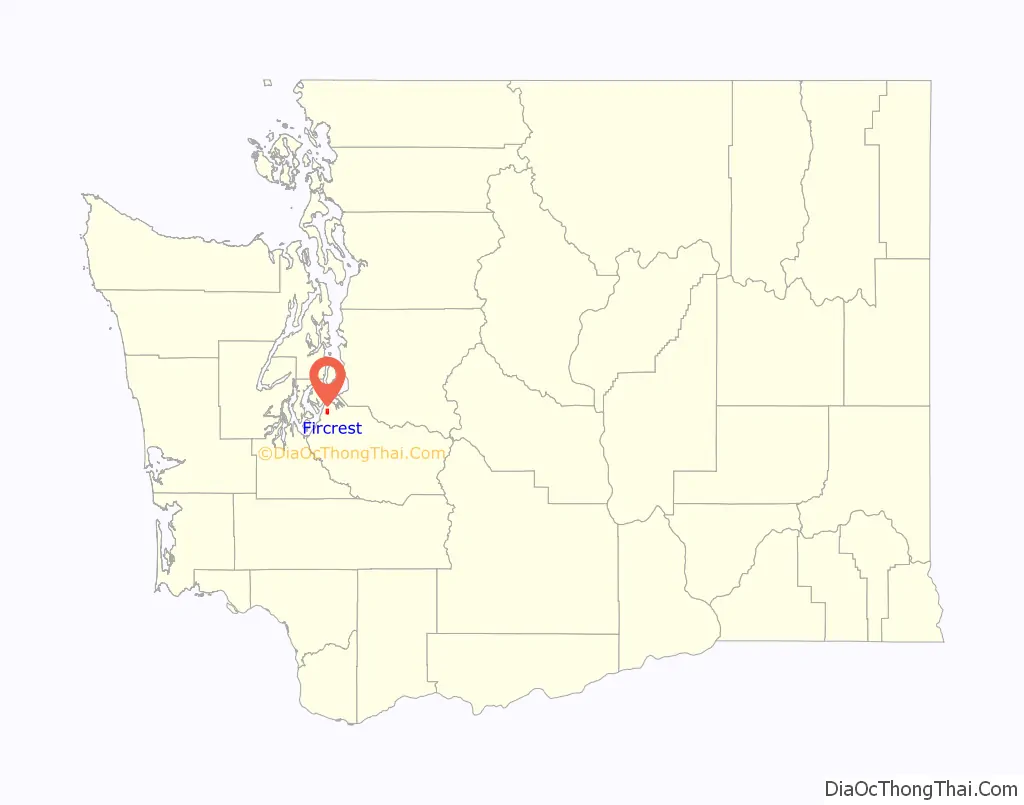
Fircrest location map. Where is Fircrest city?
History
Fircrest was officially incorporated on September 19, 1925. Like its neighbor University Place, it is a middle-class suburb of Tacoma. The community was developed by Edward Bowes, who later gained fame as the host of the Major Bowes Amateur Hour radio talent show. The town attempted to associate itself with academia by naming a number of its streets after universities (e.g. Princeton, Dartmouth, Yale, Vassar, Stanford) and was originally known as Regents Park in a reference to the regents of a university.
Fircrest was the last “dry” municipality in Washington state, prohibiting the sale of alcohol by the glass. Voters chose to allow the sale of alcohol in Fircrest in the November 2015 election.
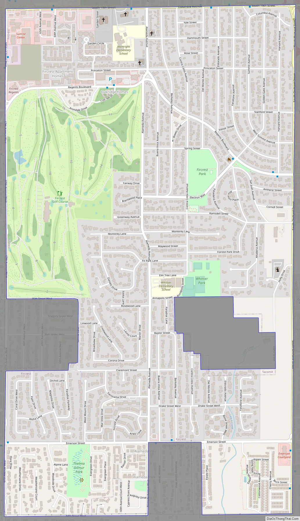
Fircrest Road Map
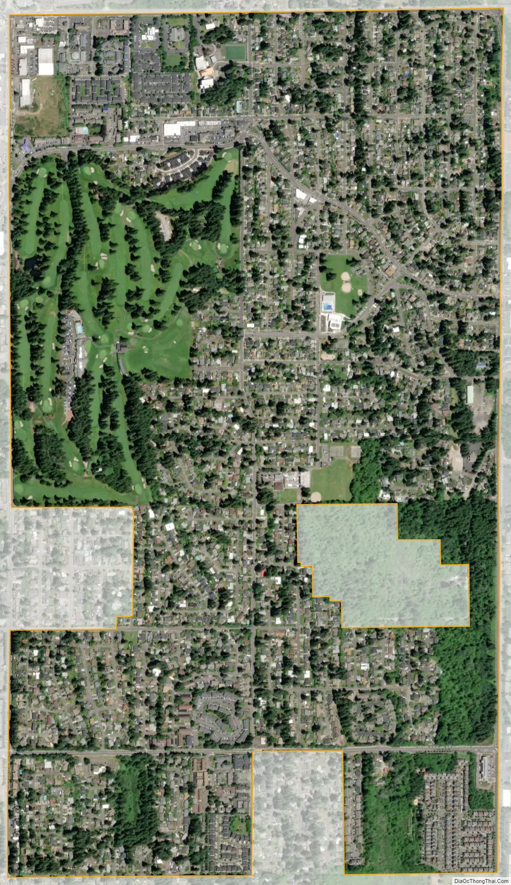
Fircrest city Satellite Map
Geography
Fircrest is located at 47°13′54″N 122°30′51″W / 47.23167°N 122.51417°W / 47.23167; -122.51417 (47.231720, -122.514304).
According to the United States Census Bureau, the city has a total area of 1.58 square miles (4.09 km), all of it land.
See also
Map of Washington State and its subdivision:- Adams
- Asotin
- Benton
- Chelan
- Clallam
- Clark
- Columbia
- Cowlitz
- Douglas
- Ferry
- Franklin
- Garfield
- Grant
- Grays Harbor
- Island
- Jefferson
- King
- Kitsap
- Kittitas
- Klickitat
- Lewis
- Lincoln
- Mason
- Okanogan
- Pacific
- Pend Oreille
- Pierce
- San Juan
- Skagit
- Skamania
- Snohomish
- Spokane
- Stevens
- Thurston
- Wahkiakum
- Walla Walla
- Whatcom
- Whitman
- Yakima
- Alabama
- Alaska
- Arizona
- Arkansas
- California
- Colorado
- Connecticut
- Delaware
- District of Columbia
- Florida
- Georgia
- Hawaii
- Idaho
- Illinois
- Indiana
- Iowa
- Kansas
- Kentucky
- Louisiana
- Maine
- Maryland
- Massachusetts
- Michigan
- Minnesota
- Mississippi
- Missouri
- Montana
- Nebraska
- Nevada
- New Hampshire
- New Jersey
- New Mexico
- New York
- North Carolina
- North Dakota
- Ohio
- Oklahoma
- Oregon
- Pennsylvania
- Rhode Island
- South Carolina
- South Dakota
- Tennessee
- Texas
- Utah
- Vermont
- Virginia
- Washington
- West Virginia
- Wisconsin
- Wyoming


