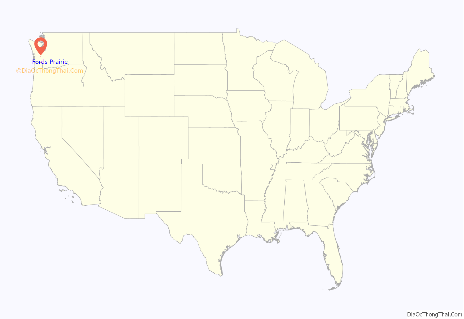
Fords Prairie is an unincorporated community and census-designated place (CDP) in Lewis County, Washington, United States. The population was 2,234 at the 2020 census.
| Name: | Fords Prairie CDP |
|---|---|
| LSAD Code: | 57 |
| LSAD Description: | CDP (suffix) |
| State: | Washington |
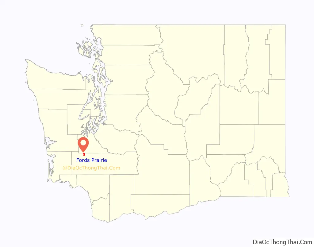
| County: | Lewis County |
| Elevation: | 177 ft (54 m) |
| Total Area: | 3.85 sq mi (9.98 km²) |
| Land Area: | 3.73 sq mi (9.65 km²) |
| Water Area: | 0.13 sq mi (0.33 km²) |
| Total Population: | 2,234 |
| Population Density: | 526/sq mi (203.0/km²) |
| ZIP code: | 98531 |
| Area code: | 360 |
| FIPS code: | 5324565 |
| GNISfeature ID: | 1504952 |
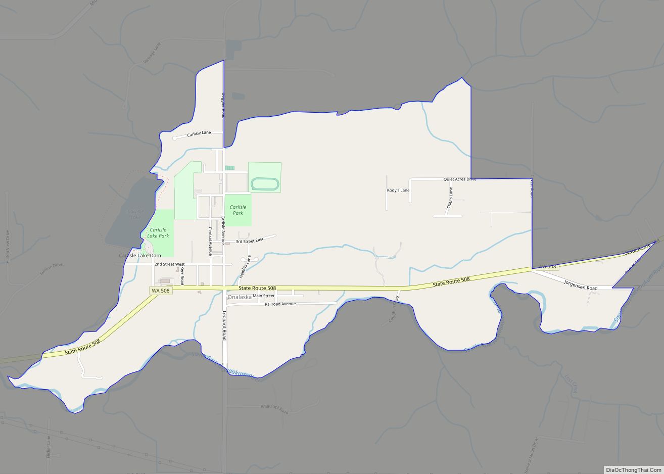
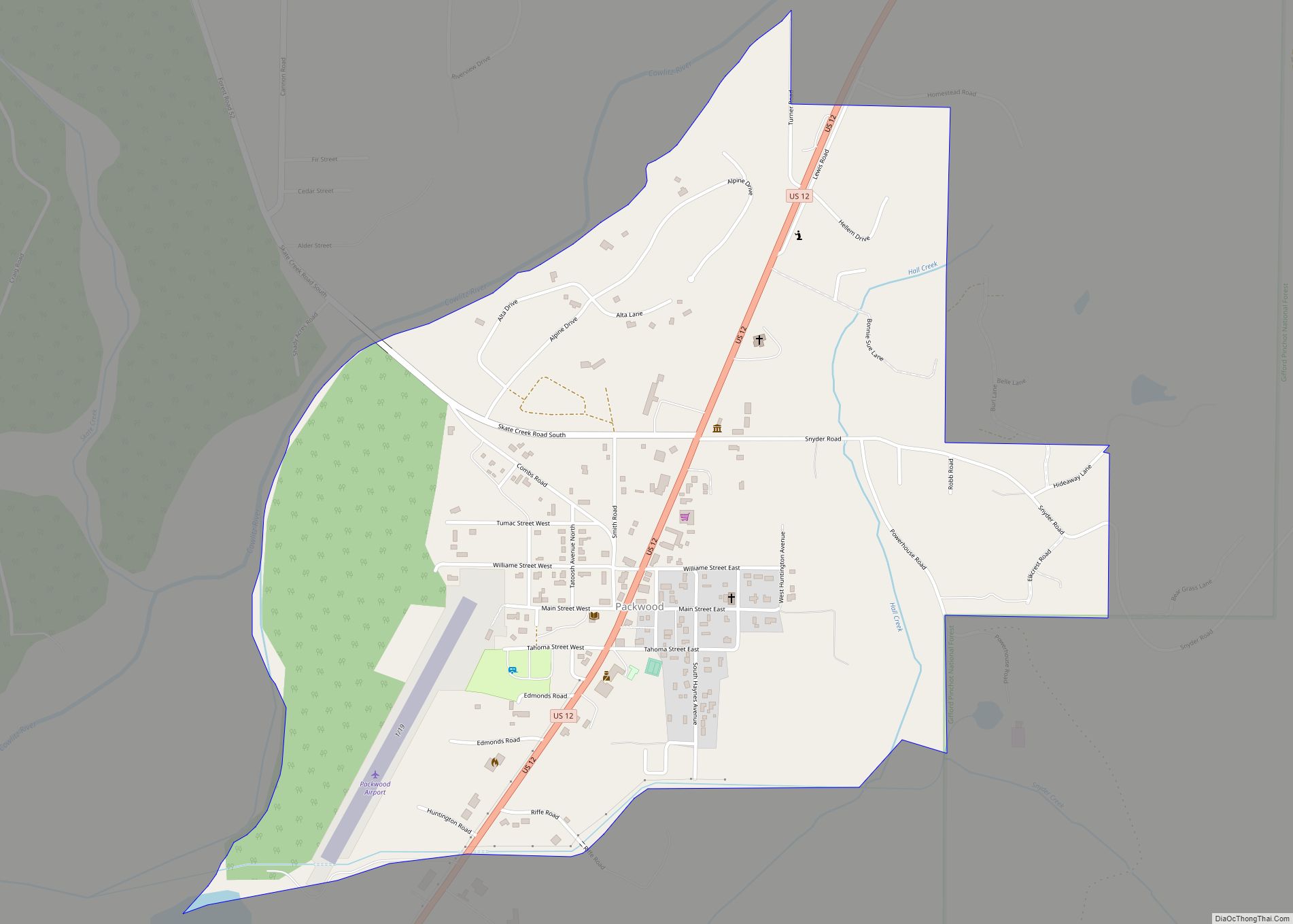
Online Interactive Map
Click on ![]() to view map in "full screen" mode.
to view map in "full screen" mode.
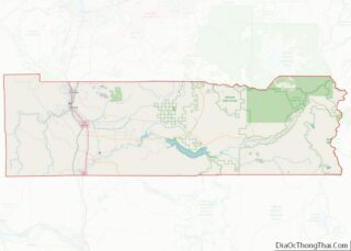
Fords Prairie location map. Where is Fords Prairie CDP?
History
The area was originally called “Tasunshun” by the Upper Chehalis tribe, the Quiyaisk. Fords Prairie was named after Judge Sidney S. Ford, Sr. and his wife Nancy, who were among the earliest white pioneers who settled north of the Columbia River in 1846 in what was then a part of Oregon Territory. Their 640-acre (260 ha) Ford Donation Land Claim abutting the Chehalis River was the center of what became known as Fords Prairie, which became an important travelling stop between the Columbia River and Puget Sound.
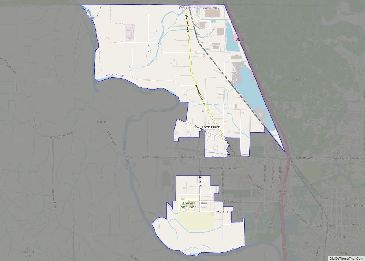
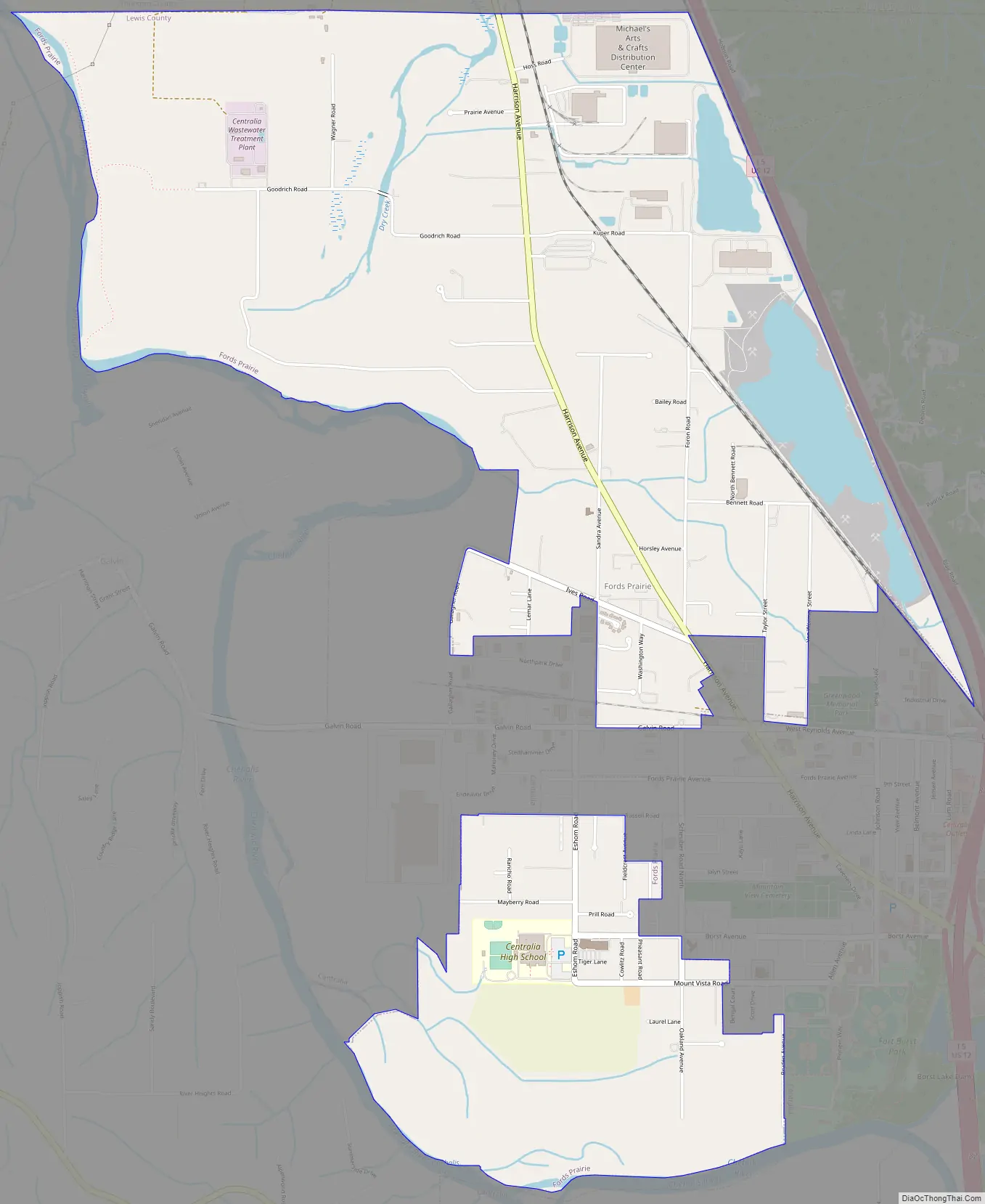
Fords Prairie Road Map
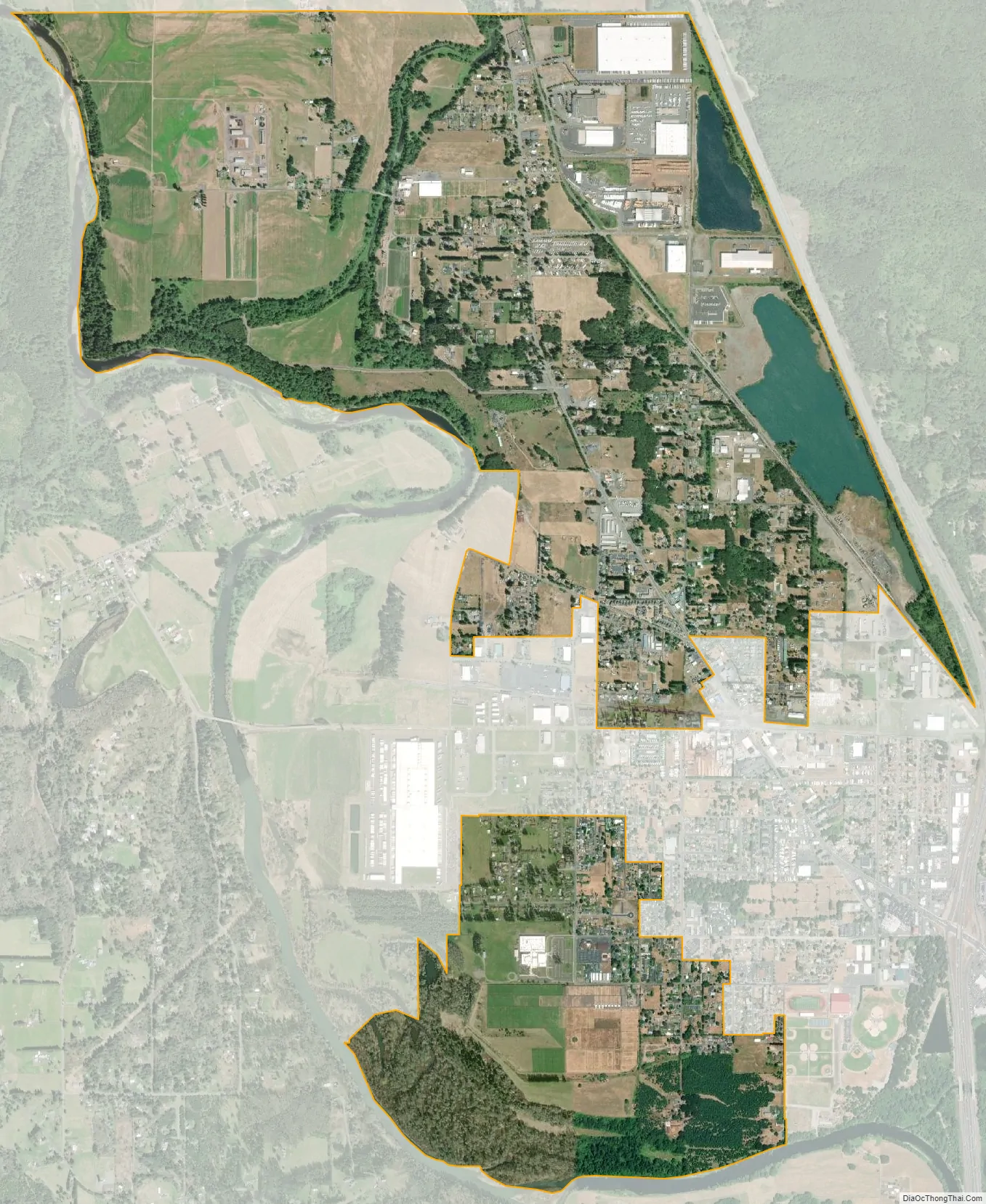
Fords Prairie city Satellite Map
Geography
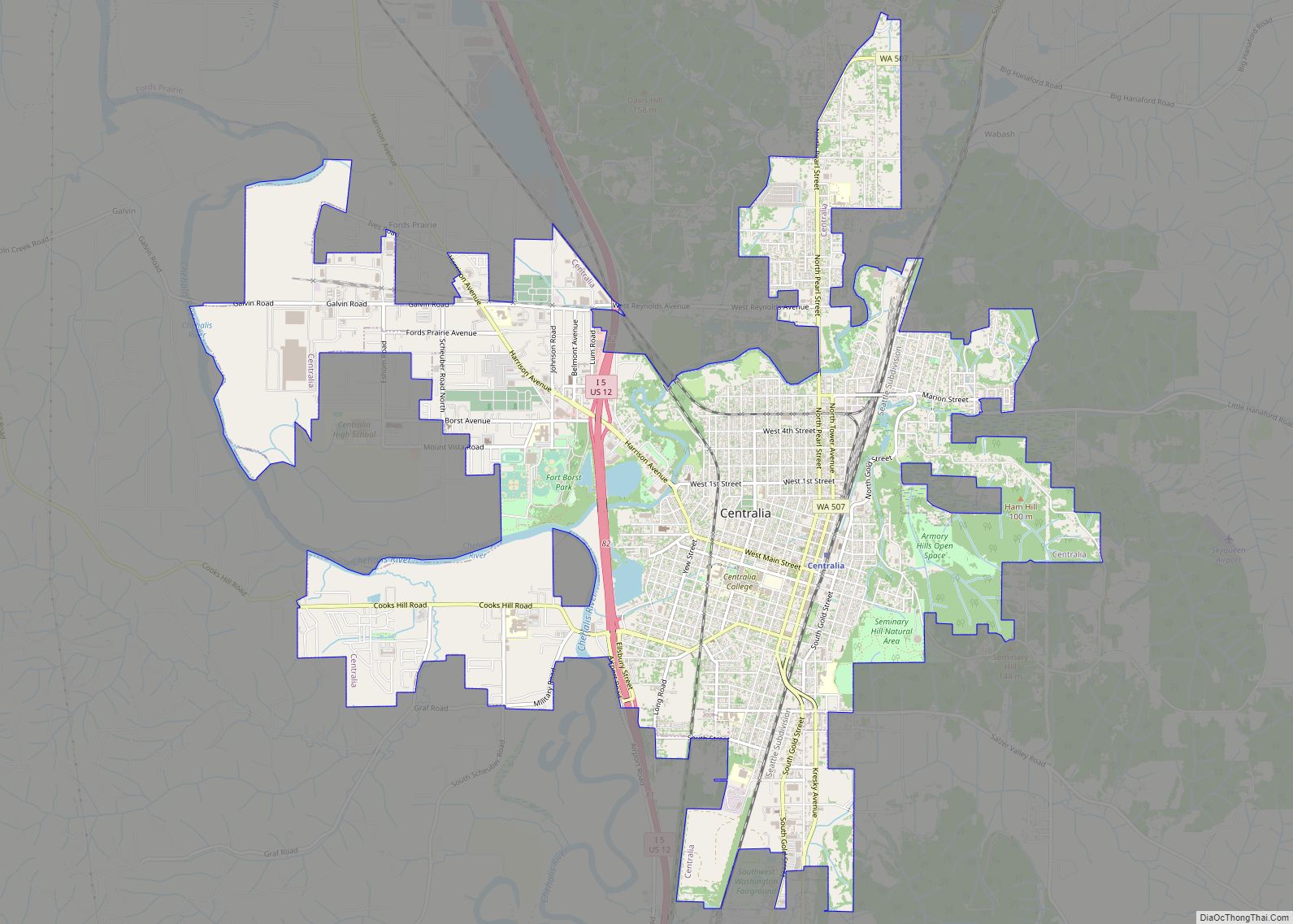
The city of Centralia borders Fords Prairie to the south, and Grand Mound in Thurston County borders the community to the north. Interstate 5 forms the eastern edge of the CDP, with access from Exit 82 (Harrison Avenue) in Centralia.
According to the United States Census Bureau, the Fords Prairie CDP has a total area of 3.9 square miles (10.0 km), of which 3.7 square miles (9.7 km) are land and 0.1 square miles (0.3 km), or 3.27%, are water. The community sits on the east side of the Chehalis River, which flows northwest to the Pacific Ocean at Grays Harbor.
See also
Map of Washington State and its subdivision:- Adams
- Asotin
- Benton
- Chelan
- Clallam
- Clark
- Columbia
- Cowlitz
- Douglas
- Ferry
- Franklin
- Garfield
- Grant
- Grays Harbor
- Island
- Jefferson
- King
- Kitsap
- Kittitas
- Klickitat
- Lewis
- Lincoln
- Mason
- Okanogan
- Pacific
- Pend Oreille
- Pierce
- San Juan
- Skagit
- Skamania
- Snohomish
- Spokane
- Stevens
- Thurston
- Wahkiakum
- Walla Walla
- Whatcom
- Whitman
- Yakima
- Alabama
- Alaska
- Arizona
- Arkansas
- California
- Colorado
- Connecticut
- Delaware
- District of Columbia
- Florida
- Georgia
- Hawaii
- Idaho
- Illinois
- Indiana
- Iowa
- Kansas
- Kentucky
- Louisiana
- Maine
- Maryland
- Massachusetts
- Michigan
- Minnesota
- Mississippi
- Missouri
- Montana
- Nebraska
- Nevada
- New Hampshire
- New Jersey
- New Mexico
- New York
- North Carolina
- North Dakota
- Ohio
- Oklahoma
- Oregon
- Pennsylvania
- Rhode Island
- South Carolina
- South Dakota
- Tennessee
- Texas
- Utah
- Vermont
- Virginia
- Washington
- West Virginia
- Wisconsin
- Wyoming