George is a city in Grant County, Washington, United States. The population was 809 at the 2020 census. The “humorous homage” to President George Washington has landed George, Washington on lists of unusual place names.
The city is known for being near the Gorge Amphitheatre, sometimes called “The Gorge at George”. The Gorge Amphitheatre was the location of the annual Sasquatch! Music Festival.
The city also celebrates national holidays such as the Fourth of July, and Washington’s Birthday, with cherry pies. The world’s largest cherry pie is also baked every year on July 4, and served to a crowd.
| Name: | George city |
|---|---|
| LSAD Code: | 25 |
| LSAD Description: | city (suffix) |
| State: | Washington |
| County: | Grant County |
| Elevation: | 1,227 ft (374 m) |
| Total Area: | 1.38 sq mi (3.57 km²) |
| Land Area: | 1.38 sq mi (3.57 km²) |
| Water Area: | 0.00 sq mi (0.00 km²) |
| Total Population: | 809 |
| Population Density: | 374.73/sq mi (144.64/km²) |
| ZIP code: | 98824, 98848 |
| Area code: | 509 |
| FIPS code: | 5326455 |
| GNISfeature ID: | 1505105 |
| Website: | cityofgeorge.org |
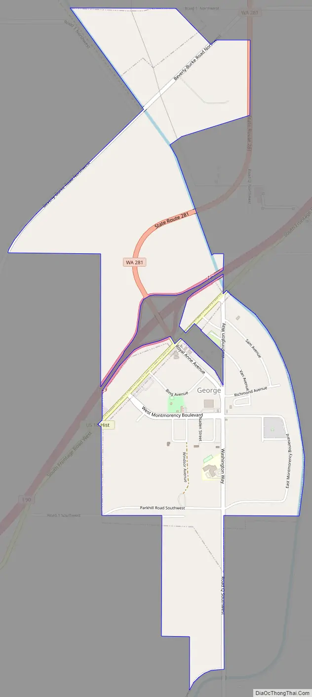
Online Interactive Map
Click on ![]() to view map in "full screen" mode.
to view map in "full screen" mode.
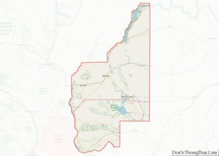
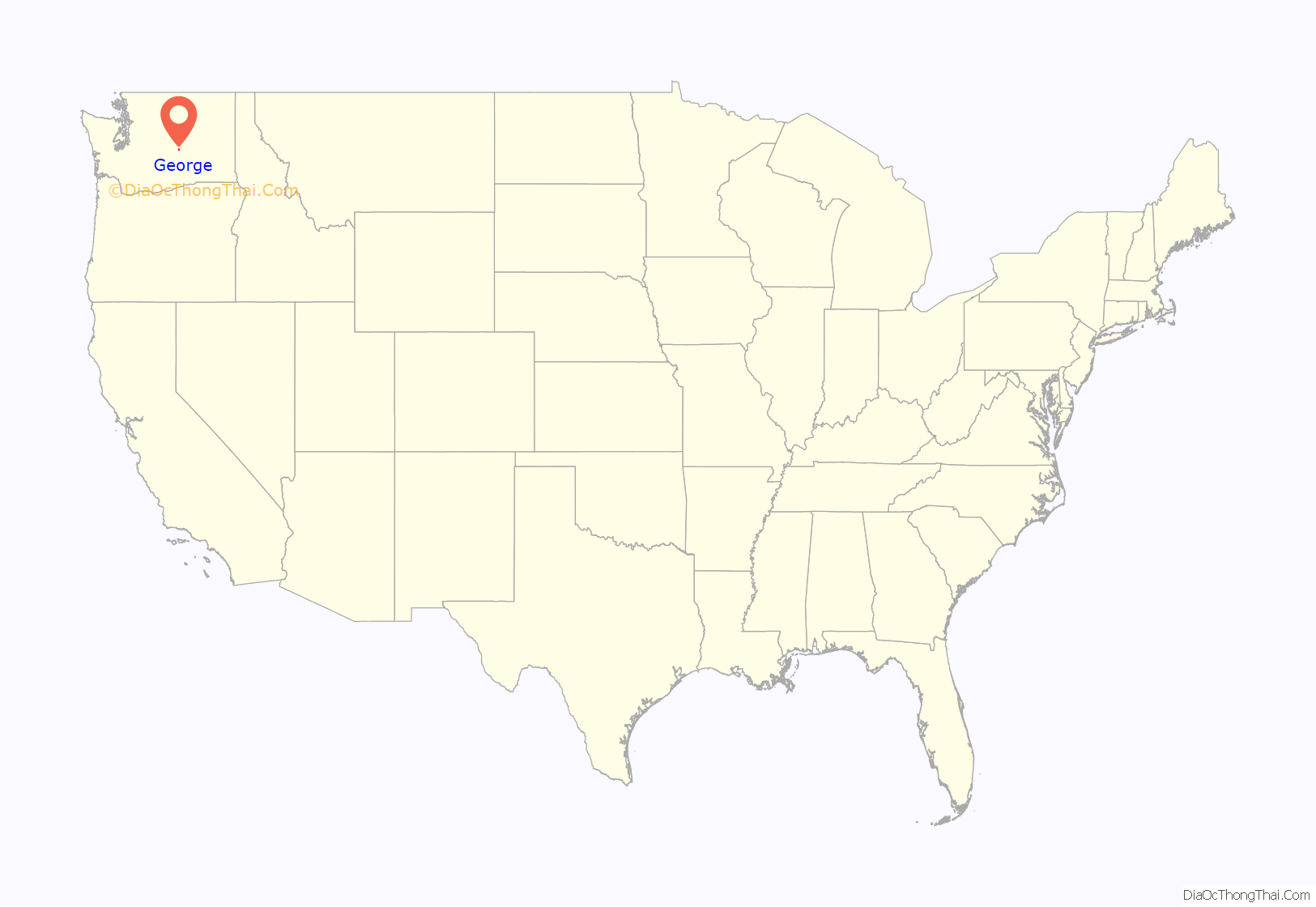
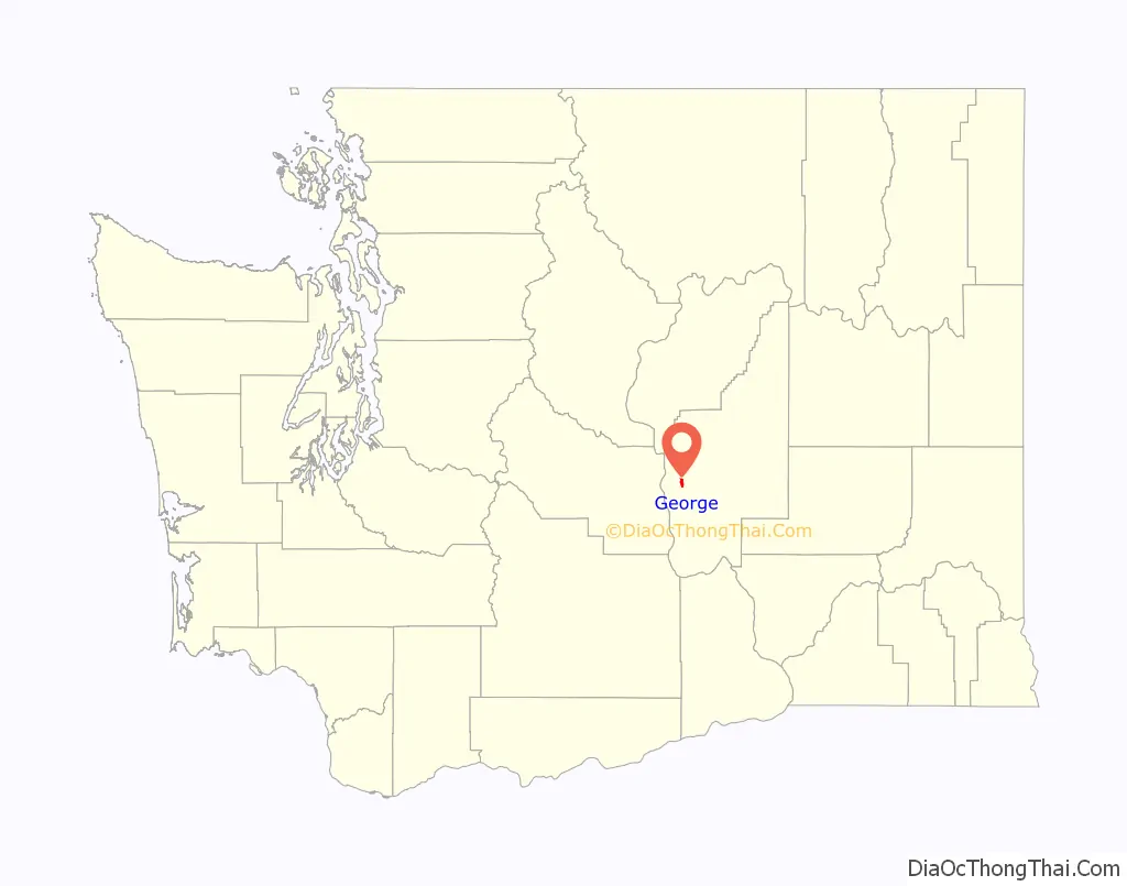
George location map. Where is George city?
History
George began as a large irrigation district between Quincy and Moses Lake. In the early 1950s, the need for a town to support the local agriculture business was evident, and the Bureau of Land Management agreed to 339 acres (1.37 km) for this purpose. The sole bid was that of a local pharmacist, Charlie Brown, who invested his own money into the venture and solicited planning help from a University of Washington instructor. The plan included streets, utilities, etc.
When filing the papers for the town with the BLM, Brown decided that the town should be named after the first President of the United States, George Washington.
The citizens of the town have named their streets after varieties of cherries grown in the area, such as Bing and Royal Anne.
The town was officially incorporated on July 4, 1957, at a ceremony including Governor Albert Rosellini and a 1,000-pound (450 kg) cherry pie.
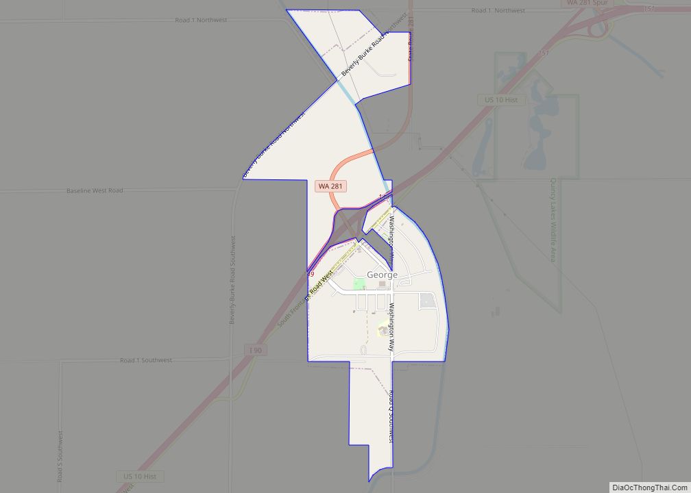
George Road Map
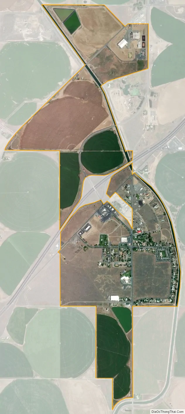
George city Satellite Map
Geography
According to the United States Census Bureau, the city has a total area of 1.33 square miles (3.44 km), all of it land.
Climate
According to the Köppen Climate Classification system, George has a cold desert climate, abbreviated “BWk” on climate maps.
See also
Map of Washington State and its subdivision:- Adams
- Asotin
- Benton
- Chelan
- Clallam
- Clark
- Columbia
- Cowlitz
- Douglas
- Ferry
- Franklin
- Garfield
- Grant
- Grays Harbor
- Island
- Jefferson
- King
- Kitsap
- Kittitas
- Klickitat
- Lewis
- Lincoln
- Mason
- Okanogan
- Pacific
- Pend Oreille
- Pierce
- San Juan
- Skagit
- Skamania
- Snohomish
- Spokane
- Stevens
- Thurston
- Wahkiakum
- Walla Walla
- Whatcom
- Whitman
- Yakima
- Alabama
- Alaska
- Arizona
- Arkansas
- California
- Colorado
- Connecticut
- Delaware
- District of Columbia
- Florida
- Georgia
- Hawaii
- Idaho
- Illinois
- Indiana
- Iowa
- Kansas
- Kentucky
- Louisiana
- Maine
- Maryland
- Massachusetts
- Michigan
- Minnesota
- Mississippi
- Missouri
- Montana
- Nebraska
- Nevada
- New Hampshire
- New Jersey
- New Mexico
- New York
- North Carolina
- North Dakota
- Ohio
- Oklahoma
- Oregon
- Pennsylvania
- Rhode Island
- South Carolina
- South Dakota
- Tennessee
- Texas
- Utah
- Vermont
- Virginia
- Washington
- West Virginia
- Wisconsin
- Wyoming