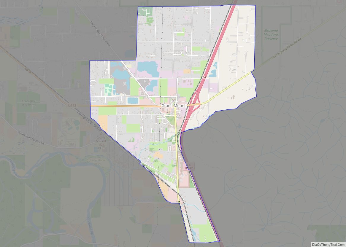
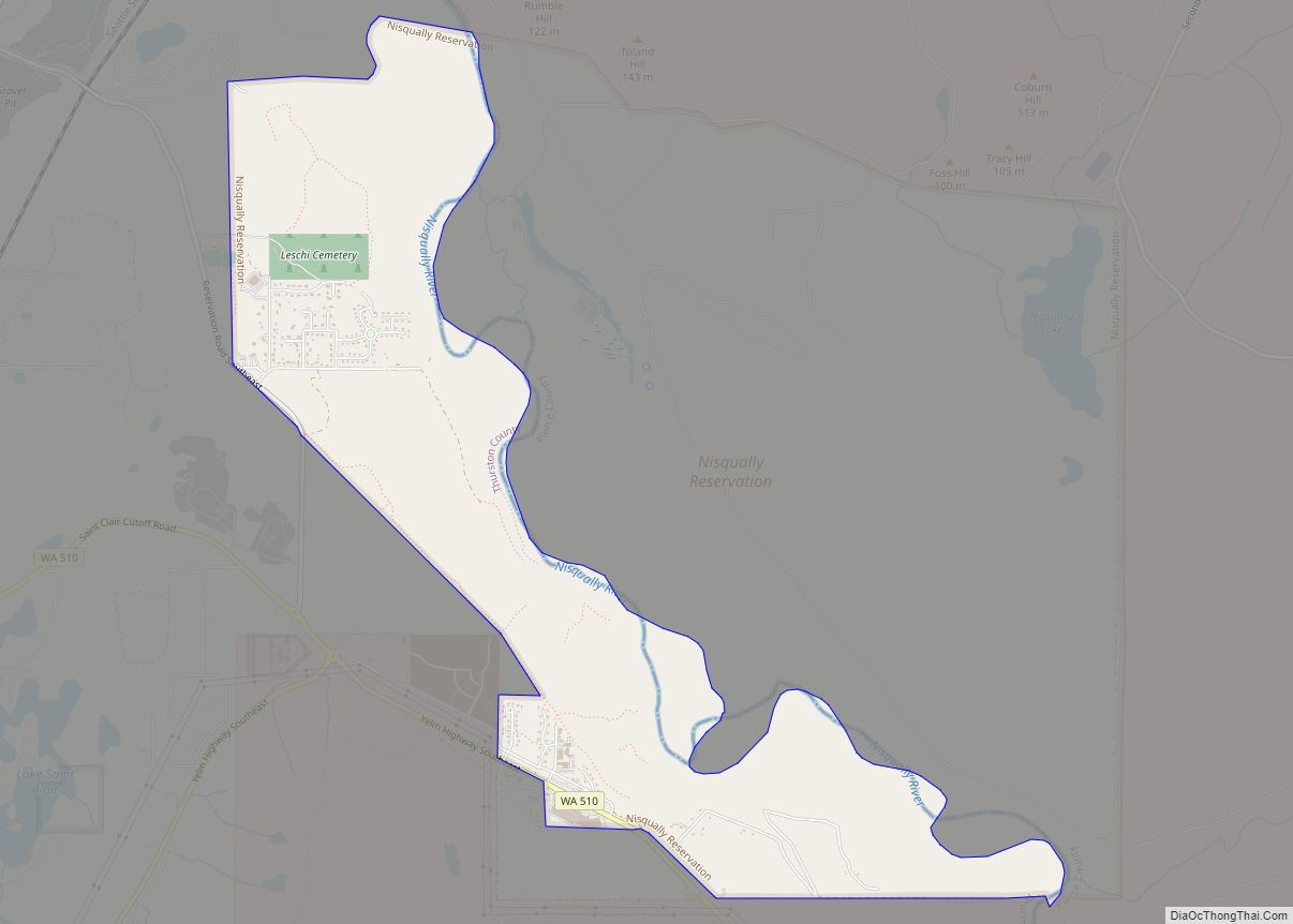
Grand Mound is a community and census-designated place (CDP) in Thurston County, Washington, United States. It was named and founded by Jotham Weeks Goodell, father of Phoebe Judson, in 1851. The population was 3,301 at the 2020 census. This area uses the 98579 and 98531 zip codes, which also includes Rochester and Gate.
| Name: | Grand Mound CDP |
|---|---|
| LSAD Code: | 57 |
| LSAD Description: | CDP (suffix) |
| State: | Washington |
| County: | Thurston County |
| Elevation: | 167 ft (51 m) |
| Total Area: | 3.93 sq mi (10.2 km²) |
| Land Area: | 3.93 sq mi (10.2 km²) |
| Water Area: | 0.0 sq mi (0 km²) |
| Total Population: | 3,301 |
| Population Density: | 759.3/sq mi (293.2/km²) |
| ZIP code: | 98531, 98579 |
| Area code: | 360, 564 |
| FIPS code: | 5327890 |
| GNISfeature ID: | 1512250 |
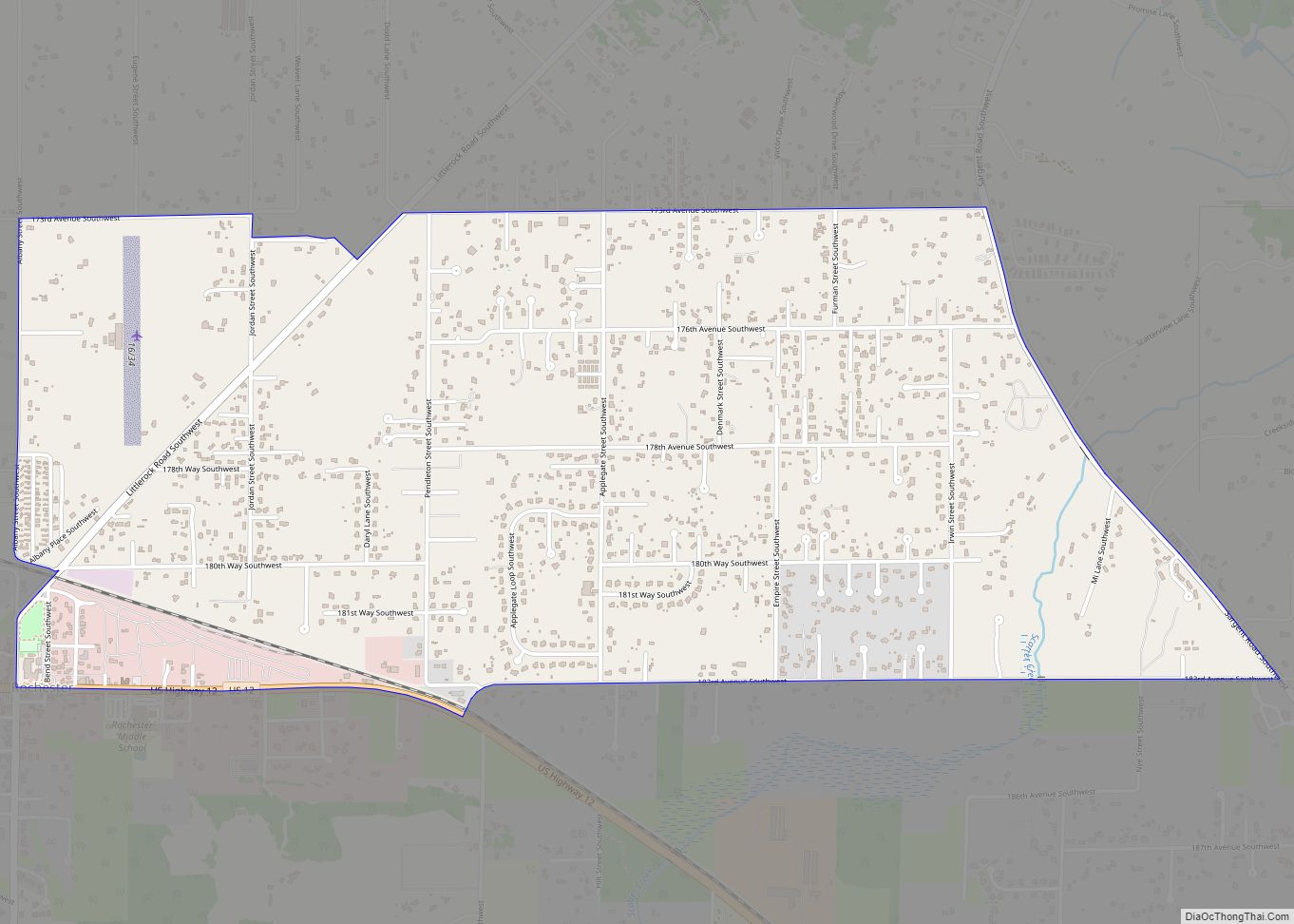
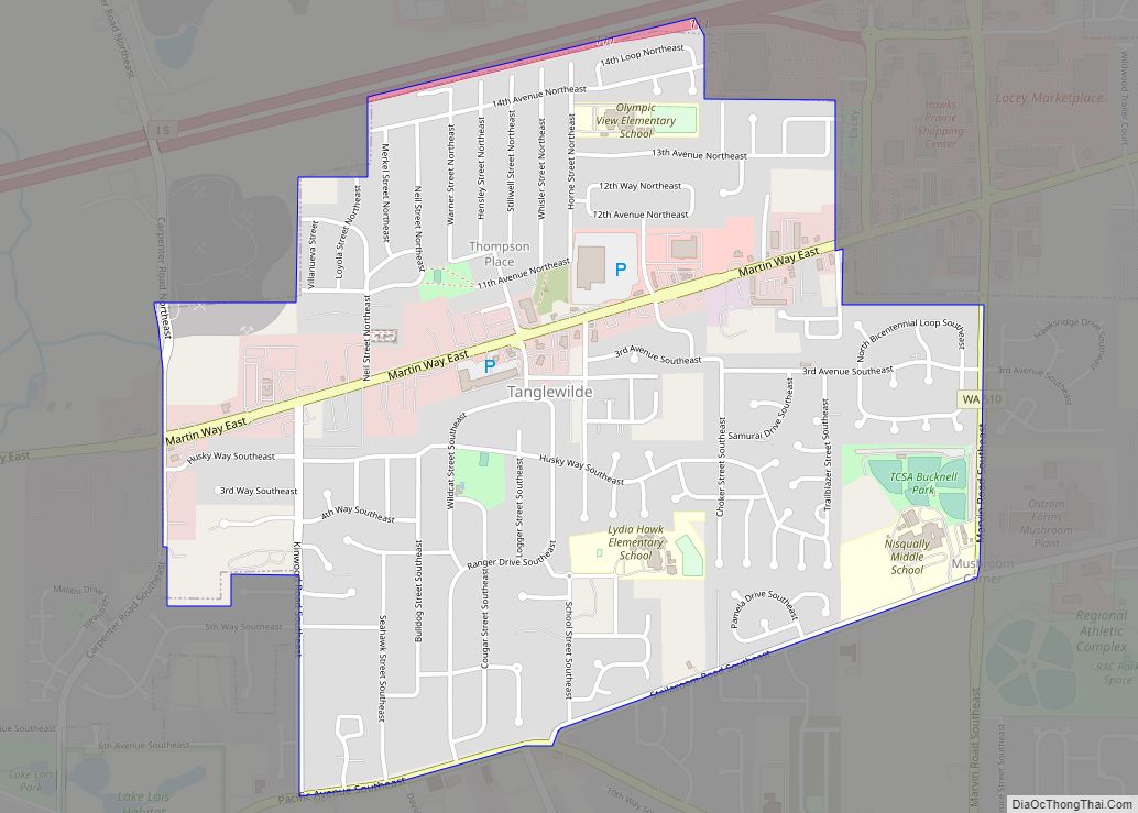
Online Interactive Map
Click on ![]() to view map in "full screen" mode.
to view map in "full screen" mode.
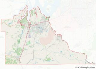
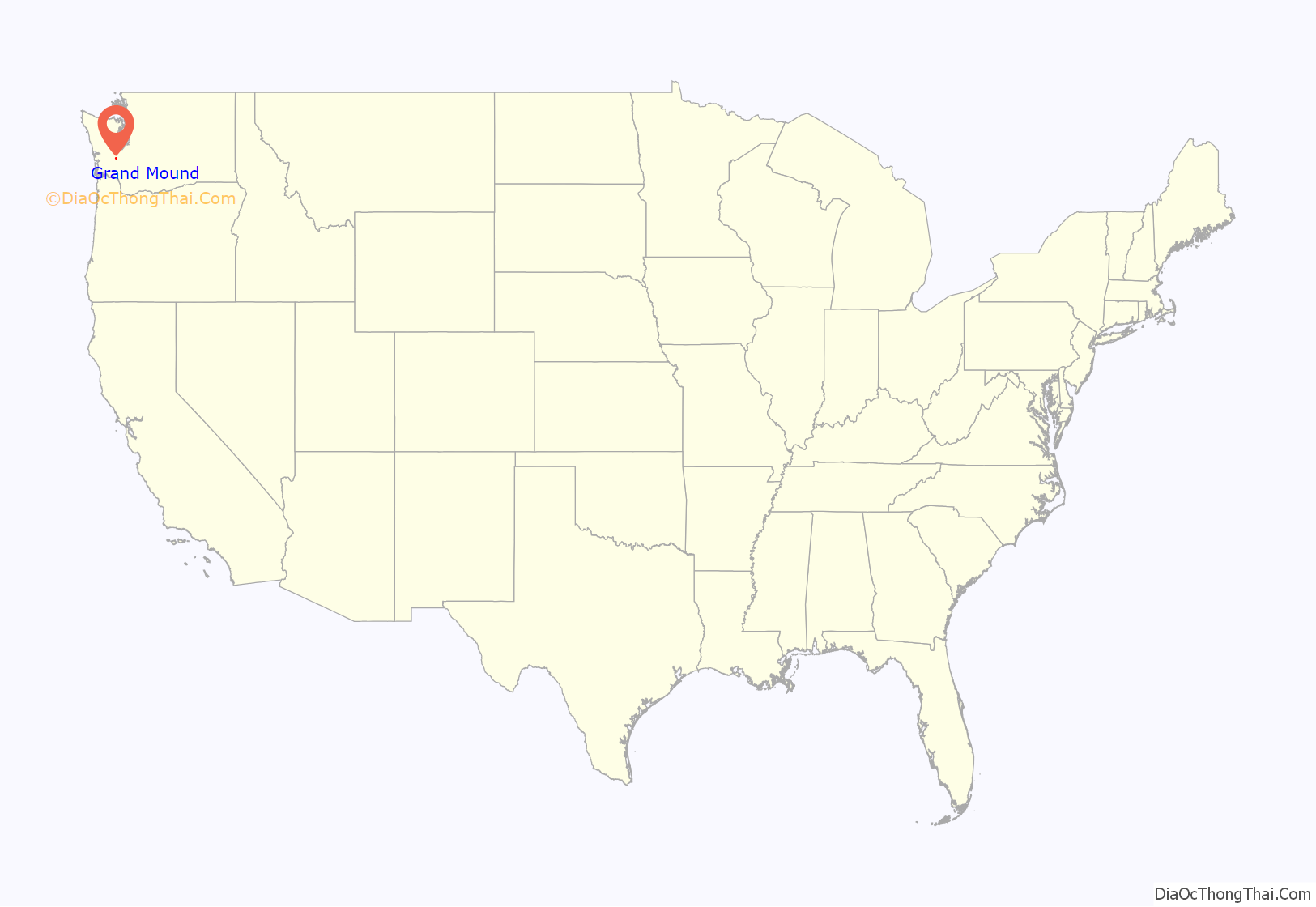
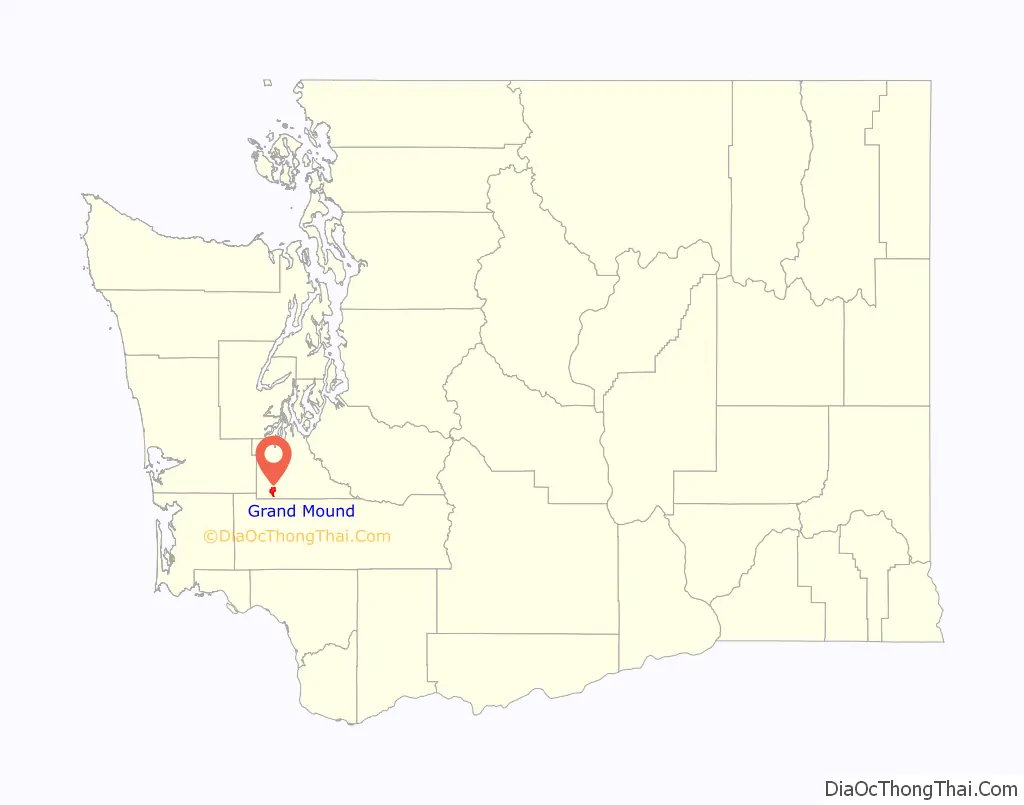
Grand Mound location map. Where is Grand Mound CDP?
History
Founded in 1851, stage service arrived in 1854. In 1913, the Washington State School for Girls (also known as the State Training School for Girls) was created and opened on 70 acres (28 ha) in 1914. The school was renamed to Maple Lane School in 1959, and closed in 2011.
In the 1920s, strawberries became a major crop in the area, and a processing plant was built, but during the Great Depression the industry failed and the Northern Pacific Railway closed the Grand Mound station. By 1941 the population of the area had grown to about 200 people and the community had a post office along with a store and a single gas station. In 1964, the Grand Mound Fire District was formed, merging twice, in 2002 with Thurston County Fire District #1, and then into the West Thurston Regional Fire Authority. A new fire station was built to serve Grand Mound in 2007.
The community became a census-designated place in 1990. In March 2008, a 398-room Great Wolf Lodge opened in Grand Mound, which was majority owned by the Confederated Tribes of the Chehalis Reservation.
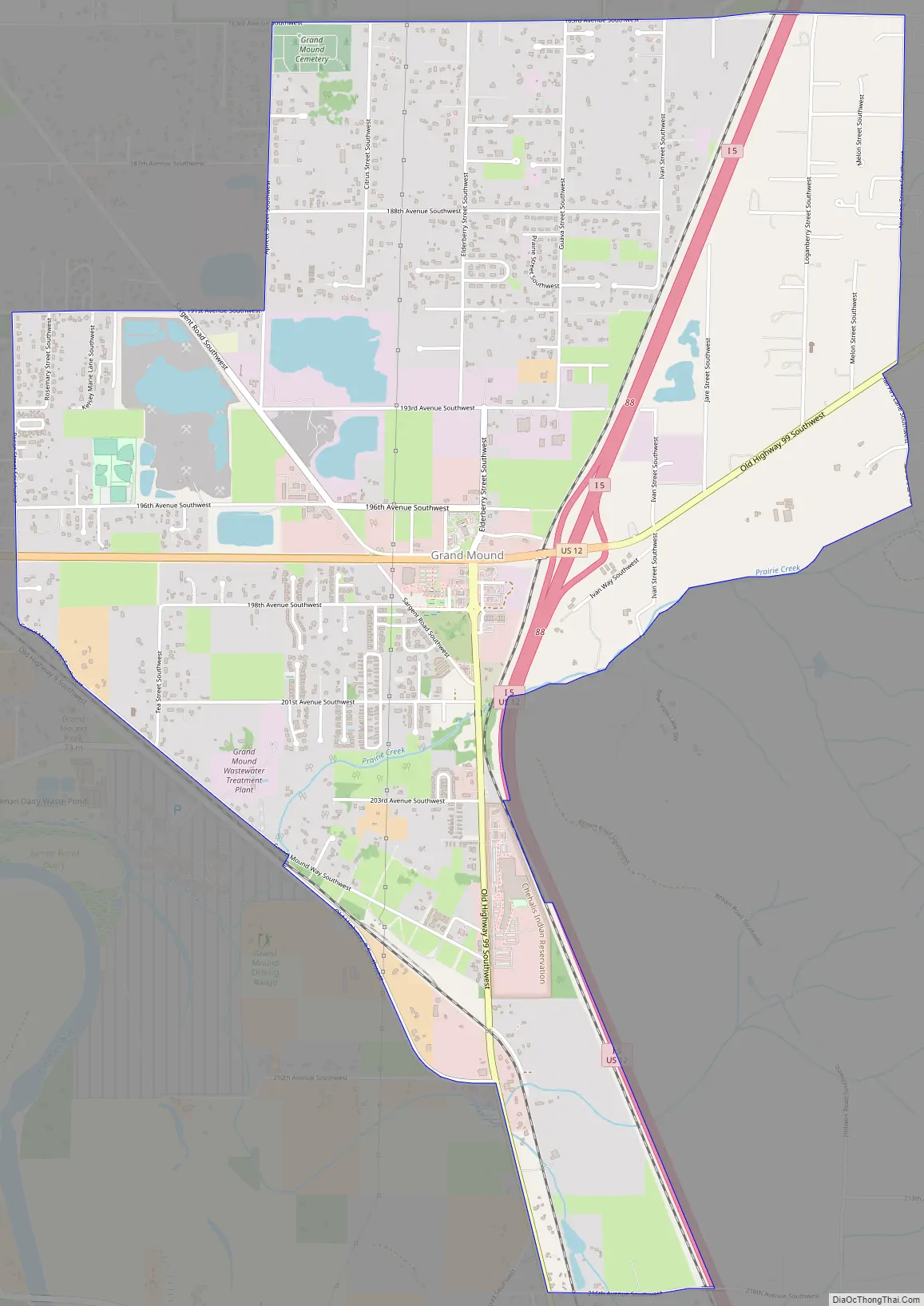
Grand Mound Road Map
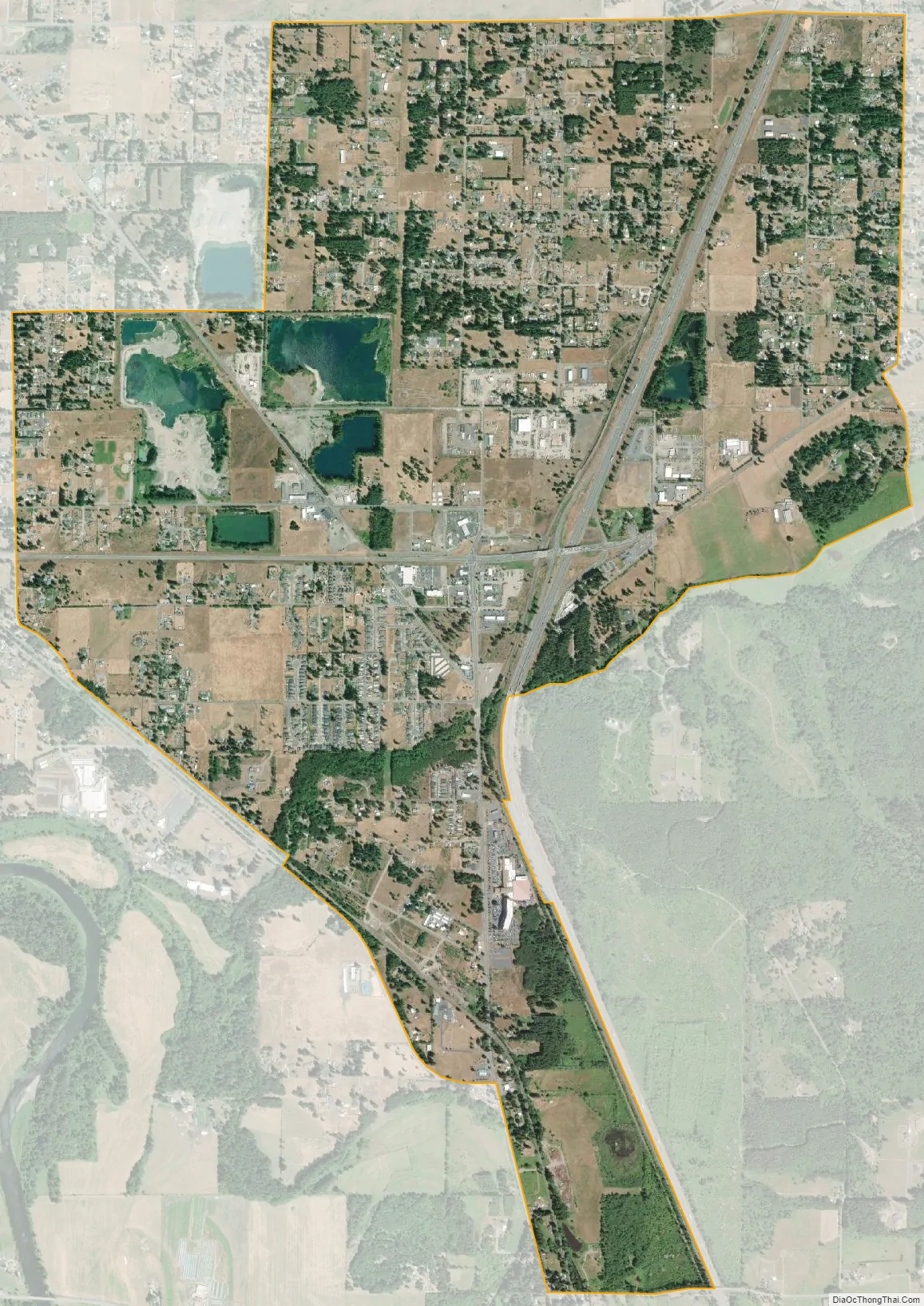
Grand Mound city Satellite Map
Geography
Grand Mound is in the southern part of Thurston County, near the county line with Lewis County, immediately north of Centralia. Interstate 5 and U.S. Route 12 serve the community, with the latter leaving Interstate 5 at the Grand Mound exit to head west to Grays Harbor. According to the United States Census Bureau, the CDP has a total area of 3.93 square miles (10.2 km), all of it land. It is located on Grand Mound Prairie, which was named after a 125-foot (38 m) tree-covered hill in the area, which was the largest of several similar mounds in the area.
Prairie Creek is the only stream within the town’s limits. It flows into the nearby Chehalis River, and the confluence of the two is located immediately southwest of the town. Scatter Creek can be found just north of Grand Mound, where it flows west through the Scatter Creek Wildlife Recreation Area and makes its way to its confluence with the Chehalis River, just south of nearby Rochester.
Just north of Grand Mound is the Scatter Creek Unit, a 915-acre (370.29-hectare) wildlife reserve which contains one of the few remaining areas of south Puget Sound prairie.
See also
Map of Washington State and its subdivision:- Adams
- Asotin
- Benton
- Chelan
- Clallam
- Clark
- Columbia
- Cowlitz
- Douglas
- Ferry
- Franklin
- Garfield
- Grant
- Grays Harbor
- Island
- Jefferson
- King
- Kitsap
- Kittitas
- Klickitat
- Lewis
- Lincoln
- Mason
- Okanogan
- Pacific
- Pend Oreille
- Pierce
- San Juan
- Skagit
- Skamania
- Snohomish
- Spokane
- Stevens
- Thurston
- Wahkiakum
- Walla Walla
- Whatcom
- Whitman
- Yakima
- Alabama
- Alaska
- Arizona
- Arkansas
- California
- Colorado
- Connecticut
- Delaware
- District of Columbia
- Florida
- Georgia
- Hawaii
- Idaho
- Illinois
- Indiana
- Iowa
- Kansas
- Kentucky
- Louisiana
- Maine
- Maryland
- Massachusetts
- Michigan
- Minnesota
- Mississippi
- Missouri
- Montana
- Nebraska
- Nevada
- New Hampshire
- New Jersey
- New Mexico
- New York
- North Carolina
- North Dakota
- Ohio
- Oklahoma
- Oregon
- Pennsylvania
- Rhode Island
- South Carolina
- South Dakota
- Tennessee
- Texas
- Utah
- Vermont
- Virginia
- Washington
- West Virginia
- Wisconsin
- Wyoming