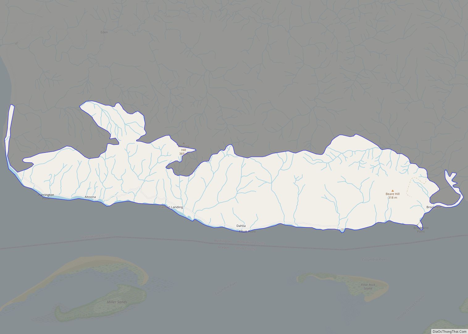
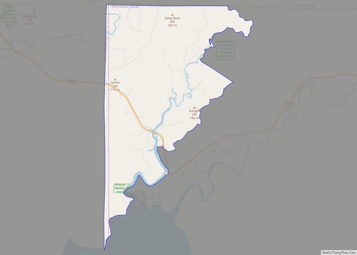
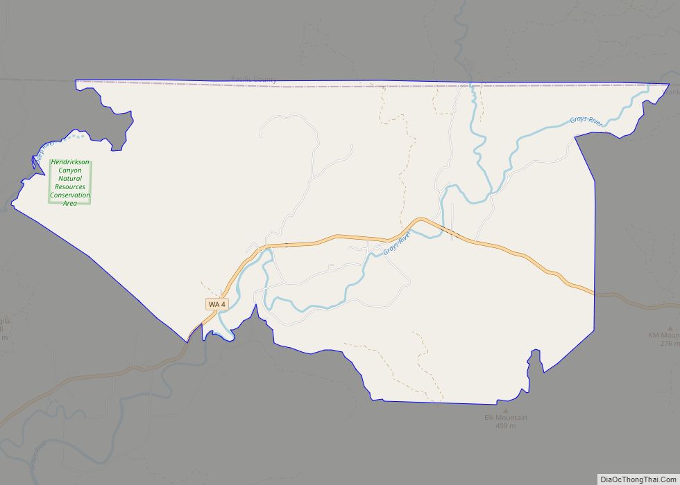
Grays River is a census-designated place (CDP) in Wahkiakum County, Washington. Grays River stands on the north bank of the lower Grays River, which flows into the Columbia River Estuary. The National Register of Historic Places-listed Grays River Covered Bridge crosses the Grays River in the community. It is the only such bridge still in use in Washington. The population was 263 as of the 2010 census. The Grays River community is part of the Naselle-Grays River Valley School District, a K-12 school district of about 670 students.
| Name: | Grays River CDP |
|---|---|
| LSAD Code: | 57 |
| LSAD Description: | CDP (suffix) |
| State: | Washington |
| County: | Wahkiakum County |
| Elevation: | 161 ft (49 m) |
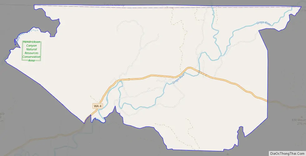
| Total Area: | 20.191 sq mi (52.293 km²) |
| Land Area: | 20.125 sq mi (52.122 km²) |
| Water Area: | 0.066 sq mi (0.171 km²) 0.33% |
| Total Population: | 263 |
| ZIP code: | 98621 |
| Area code: | 360 |
| FIPS code: | 5328450 |
| GNISfeature ID: | 2584977 |
Online Interactive Map
Click on ![]() to view map in "full screen" mode.
to view map in "full screen" mode.
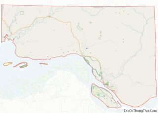
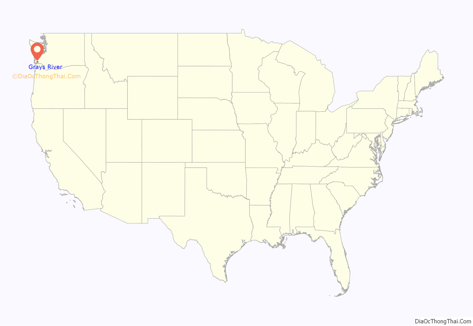
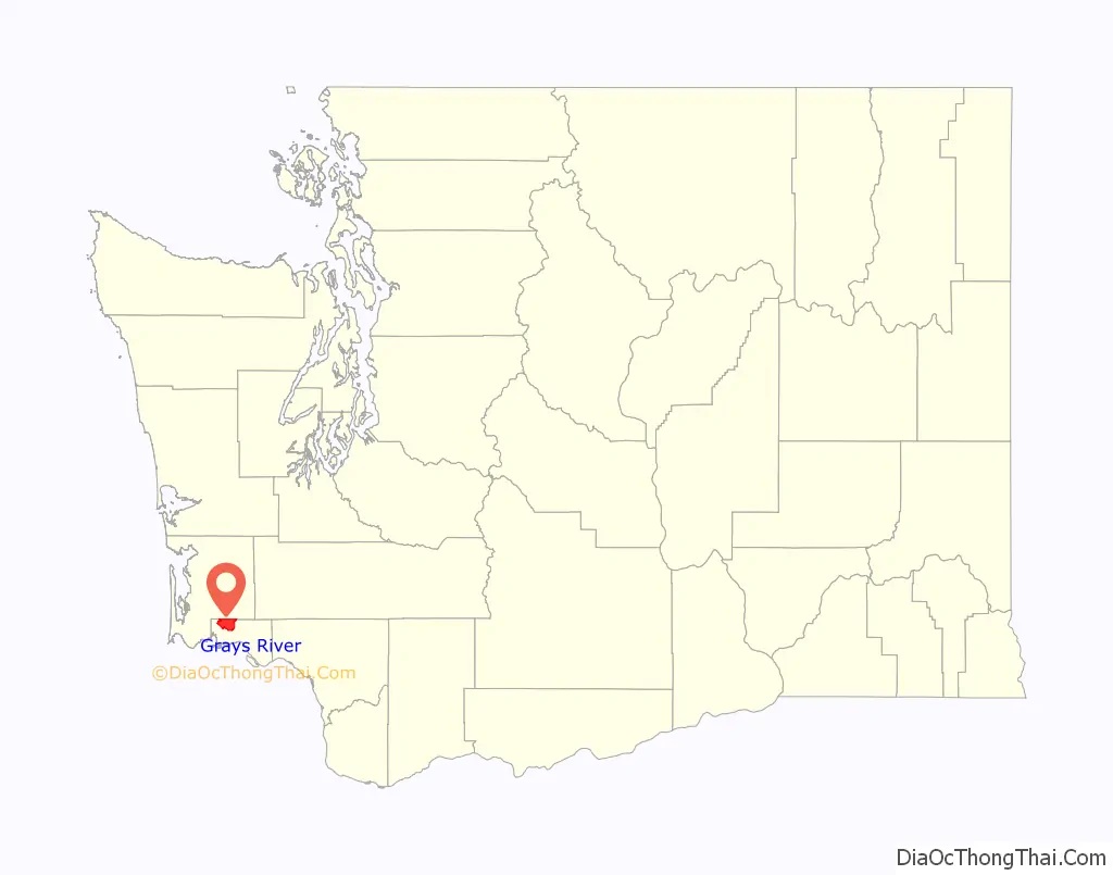
Grays River location map. Where is Grays River CDP?
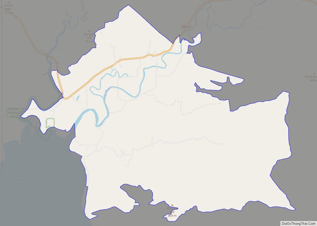
Grays River Road Map
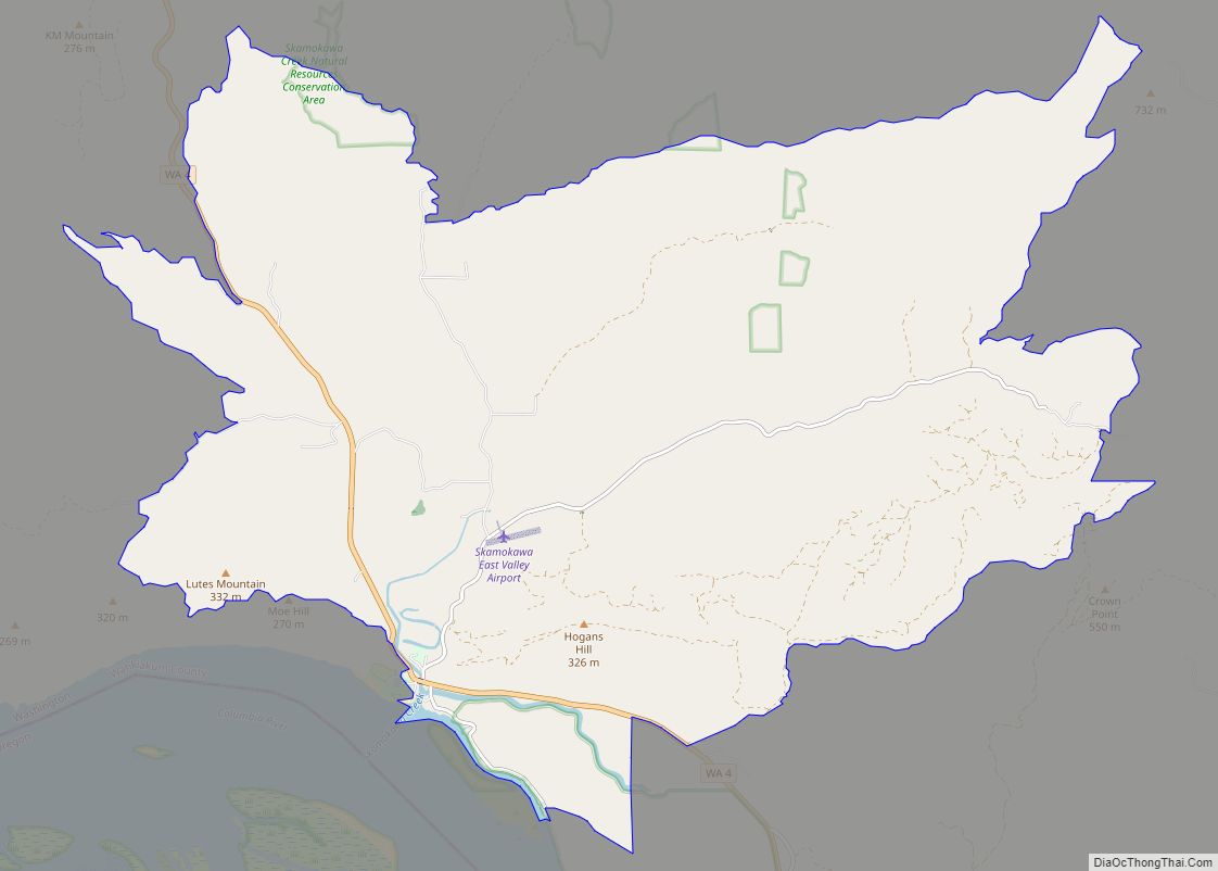
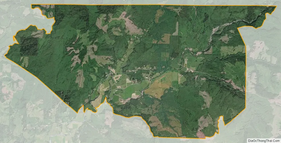
Grays River city Satellite Map
Geography
Grays River is located at 46°22′04″N 123°34′53″W / 46.36778°N 123.58139°W / 46.36778; -123.58139 (46.367836, -123.581335).
According to the United States Census Bureau, the CDP has a total area of 20.19 square miles (52.29 km), of which 20.13 square miles (52.12 km) of it is land and 0.07 square miles (0.17 km) of it (0.33%) is water.
See also
Map of Washington State and its subdivision:- Adams
- Asotin
- Benton
- Chelan
- Clallam
- Clark
- Columbia
- Cowlitz
- Douglas
- Ferry
- Franklin
- Garfield
- Grant
- Grays Harbor
- Island
- Jefferson
- King
- Kitsap
- Kittitas
- Klickitat
- Lewis
- Lincoln
- Mason
- Okanogan
- Pacific
- Pend Oreille
- Pierce
- San Juan
- Skagit
- Skamania
- Snohomish
- Spokane
- Stevens
- Thurston
- Wahkiakum
- Walla Walla
- Whatcom
- Whitman
- Yakima
- Alabama
- Alaska
- Arizona
- Arkansas
- California
- Colorado
- Connecticut
- Delaware
- District of Columbia
- Florida
- Georgia
- Hawaii
- Idaho
- Illinois
- Indiana
- Iowa
- Kansas
- Kentucky
- Louisiana
- Maine
- Maryland
- Massachusetts
- Michigan
- Minnesota
- Mississippi
- Missouri
- Montana
- Nebraska
- Nevada
- New Hampshire
- New Jersey
- New Mexico
- New York
- North Carolina
- North Dakota
- Ohio
- Oklahoma
- Oregon
- Pennsylvania
- Rhode Island
- South Carolina
- South Dakota
- Tennessee
- Texas
- Utah
- Vermont
- Virginia
- Washington
- West Virginia
- Wisconsin
- Wyoming