Lake Holm is a census-designated place (CDP) in King County, Washington, United States. The population was 3,221 at the 2010 census.
| Name: | Lake Holm CDP |
|---|---|
| LSAD Code: | 57 |
| LSAD Description: | CDP (suffix) |
| State: | Washington |
| County: | King County |
| Elevation: | 400 ft (100 m) |
| Total Area: | 8.56 sq mi (22.18 km²) |
| Land Area: | 8.36 sq mi (21.65 km²) |
| Water Area: | 0.20 sq mi (0.53 km²) |
| Total Population: | 3,221 |
| Population Density: | 385/sq mi (148.7/km²) |
| ZIP code: | 98092 |
| Area code: | 253 |
| FIPS code: | 5337345 |
| GNISfeature ID: | 2584994 |
Online Interactive Map
Click on ![]() to view map in "full screen" mode.
to view map in "full screen" mode.
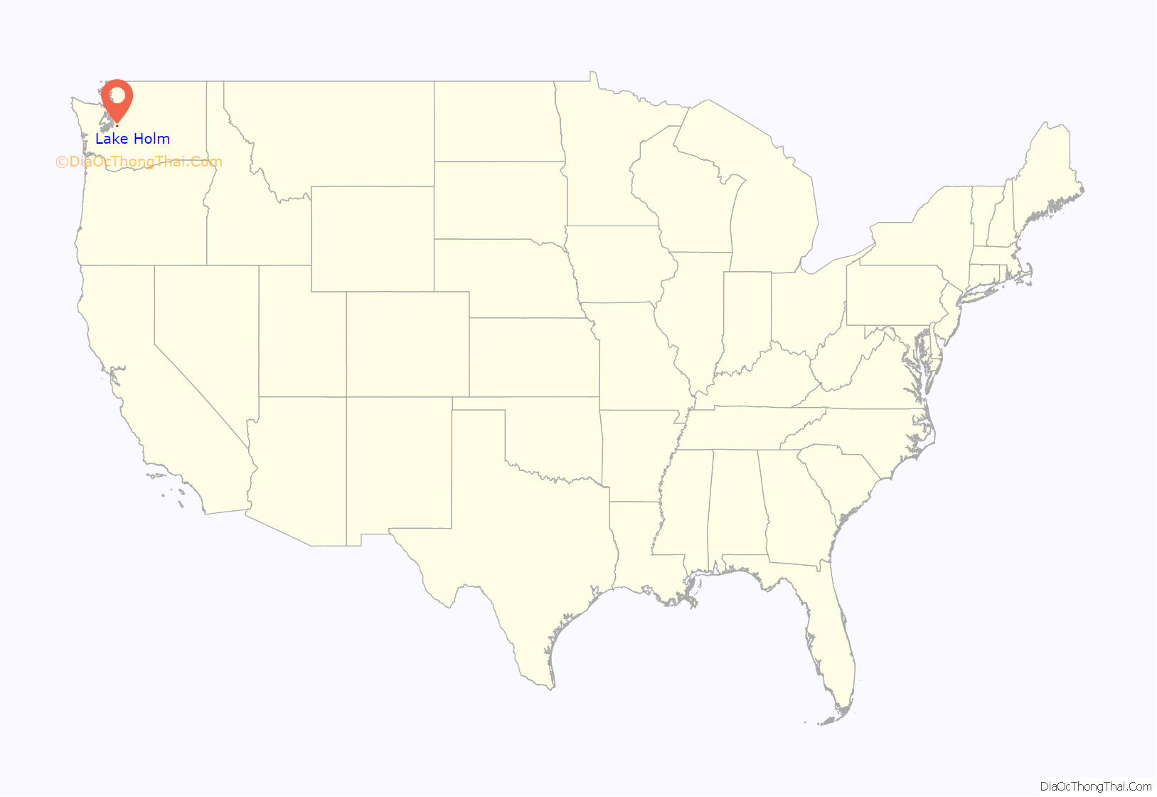
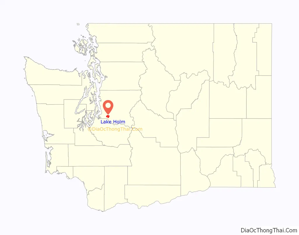
Lake Holm location map. Where is Lake Holm CDP?
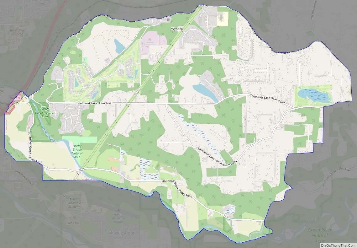
Lake Holm Road Map
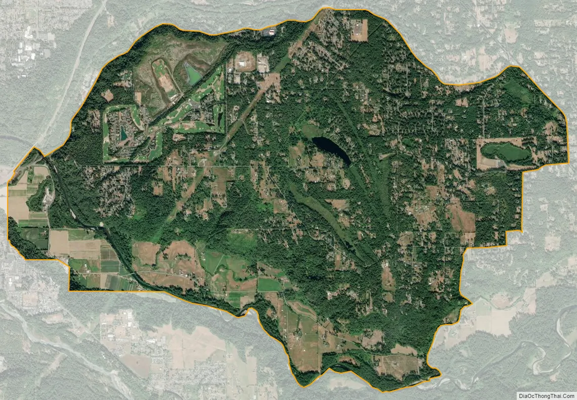
Lake Holm city Satellite Map
Geography
Lake Holm is located in southwestern King County at 47°18′23″N 122°07′48″W / 47.30639°N 122.13000°W / 47.30639; -122.13000 (47.306388, -122.129911). It is bordered to the west by the city of Auburn and to the north by the Lake Morton-Berrydale CDP. The southern border of the Lake Holm CDP follows the Green River, and the northern border follows Big Soos Creek and Covington Creek, tributaries of the Green. Lake Holm is 19 miles (31 km) east of Tacoma and 27 miles (43 km) south-southeast of Seattle.
According to the United States Census Bureau, the CDP has a total area of 8.56 square miles (22.18 km), of which 8.36 square miles (21.65 km) are land and 0.20 square miles (0.53 km), or 2.37%, are water.
See also
Map of Washington State and its subdivision:- Adams
- Asotin
- Benton
- Chelan
- Clallam
- Clark
- Columbia
- Cowlitz
- Douglas
- Ferry
- Franklin
- Garfield
- Grant
- Grays Harbor
- Island
- Jefferson
- King
- Kitsap
- Kittitas
- Klickitat
- Lewis
- Lincoln
- Mason
- Okanogan
- Pacific
- Pend Oreille
- Pierce
- San Juan
- Skagit
- Skamania
- Snohomish
- Spokane
- Stevens
- Thurston
- Wahkiakum
- Walla Walla
- Whatcom
- Whitman
- Yakima
- Alabama
- Alaska
- Arizona
- Arkansas
- California
- Colorado
- Connecticut
- Delaware
- District of Columbia
- Florida
- Georgia
- Hawaii
- Idaho
- Illinois
- Indiana
- Iowa
- Kansas
- Kentucky
- Louisiana
- Maine
- Maryland
- Massachusetts
- Michigan
- Minnesota
- Mississippi
- Missouri
- Montana
- Nebraska
- Nevada
- New Hampshire
- New Jersey
- New Mexico
- New York
- North Carolina
- North Dakota
- Ohio
- Oklahoma
- Oregon
- Pennsylvania
- Rhode Island
- South Carolina
- South Dakota
- Tennessee
- Texas
- Utah
- Vermont
- Virginia
- Washington
- West Virginia
- Wisconsin
- Wyoming


