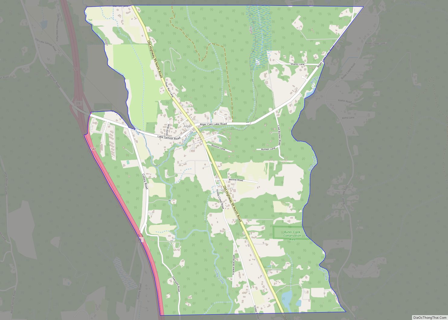
Lake McMurray is a census-designated place (CDP) in Skagit County, Washington, United States. The population was 192 at the 2010 census. It is included in the Mount Vernon–Anacortes, Washington Metropolitan Statistical Area.
Based on per capita income, Lake McMurray ranks 43rd of 522 ranked areas in the state of Washington. It is part of the Conway School District.
| Name: | Lake McMurray CDP |
|---|---|
| LSAD Code: | 57 |
| LSAD Description: | CDP (suffix) |
| State: | Washington |
| County: | Skagit County |
| Total Area: | 1.0 sq mi (2.7 km²) |
| Land Area: | 0.8 sq mi (2.1 km²) |
| Water Area: | 0.2 sq mi (0.5 km²) |
| Total Population: | 192 |
| Population Density: | 242.5/sq mi (93.6/km²) |
| FIPS code: | 5337526 |
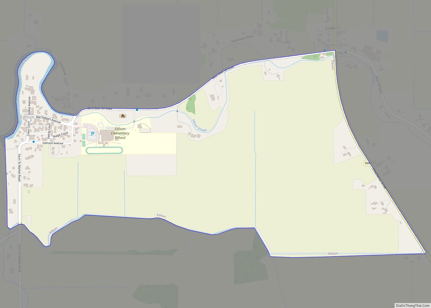
Online Interactive Map
Click on ![]() to view map in "full screen" mode.
to view map in "full screen" mode.
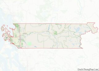
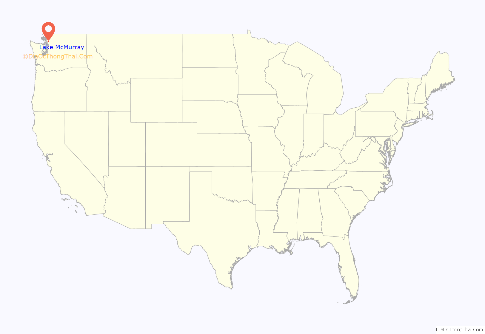
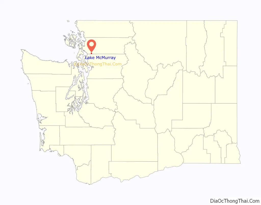
Lake McMurray location map. Where is Lake McMurray CDP?
History
McMurray was platted in 1890 when the railroad was extended to that point. A post office called McMurray was established in 1890, and remained in operation until 1945. The nearby lake of the same name perpetuates the name of an early settler.
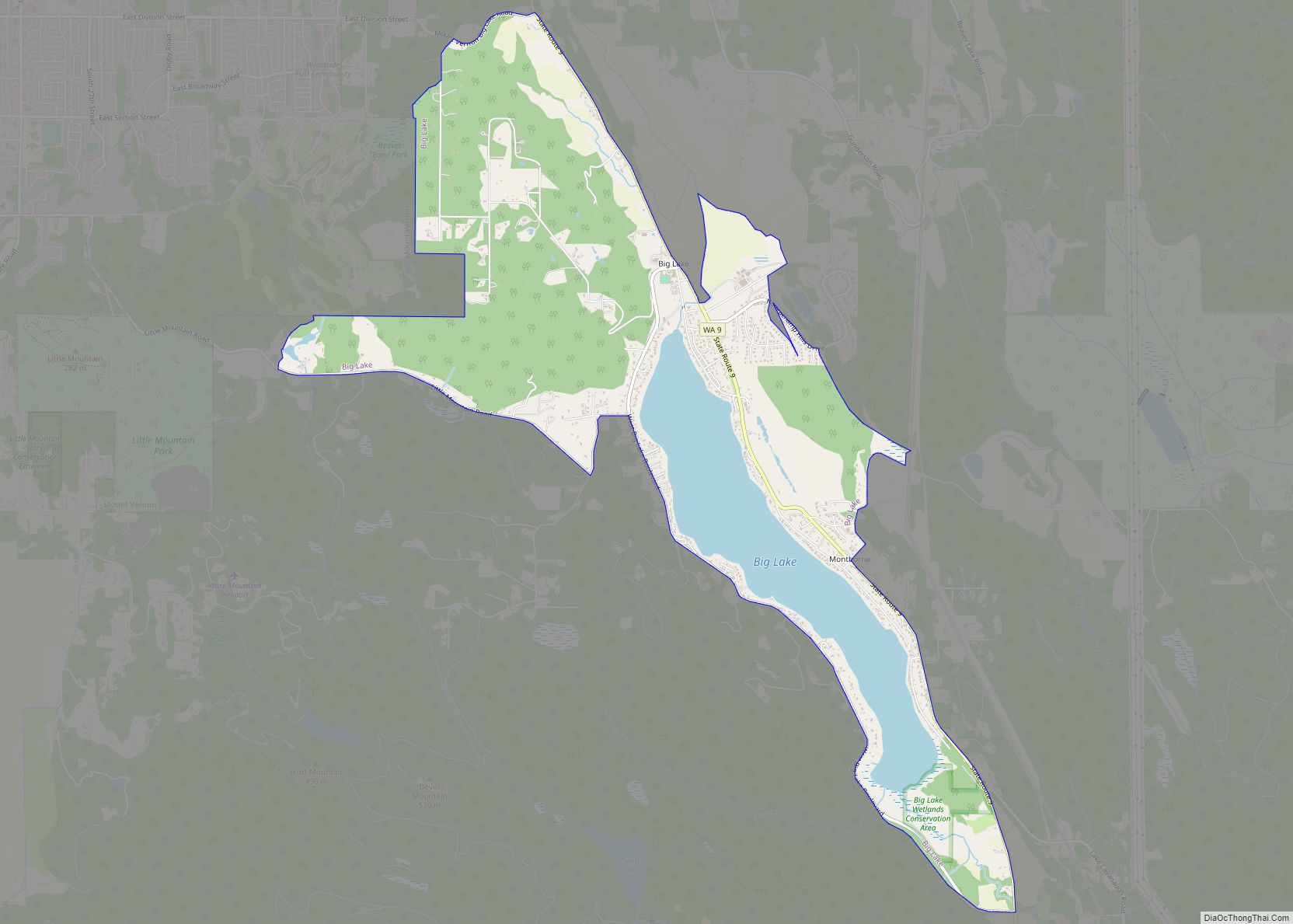
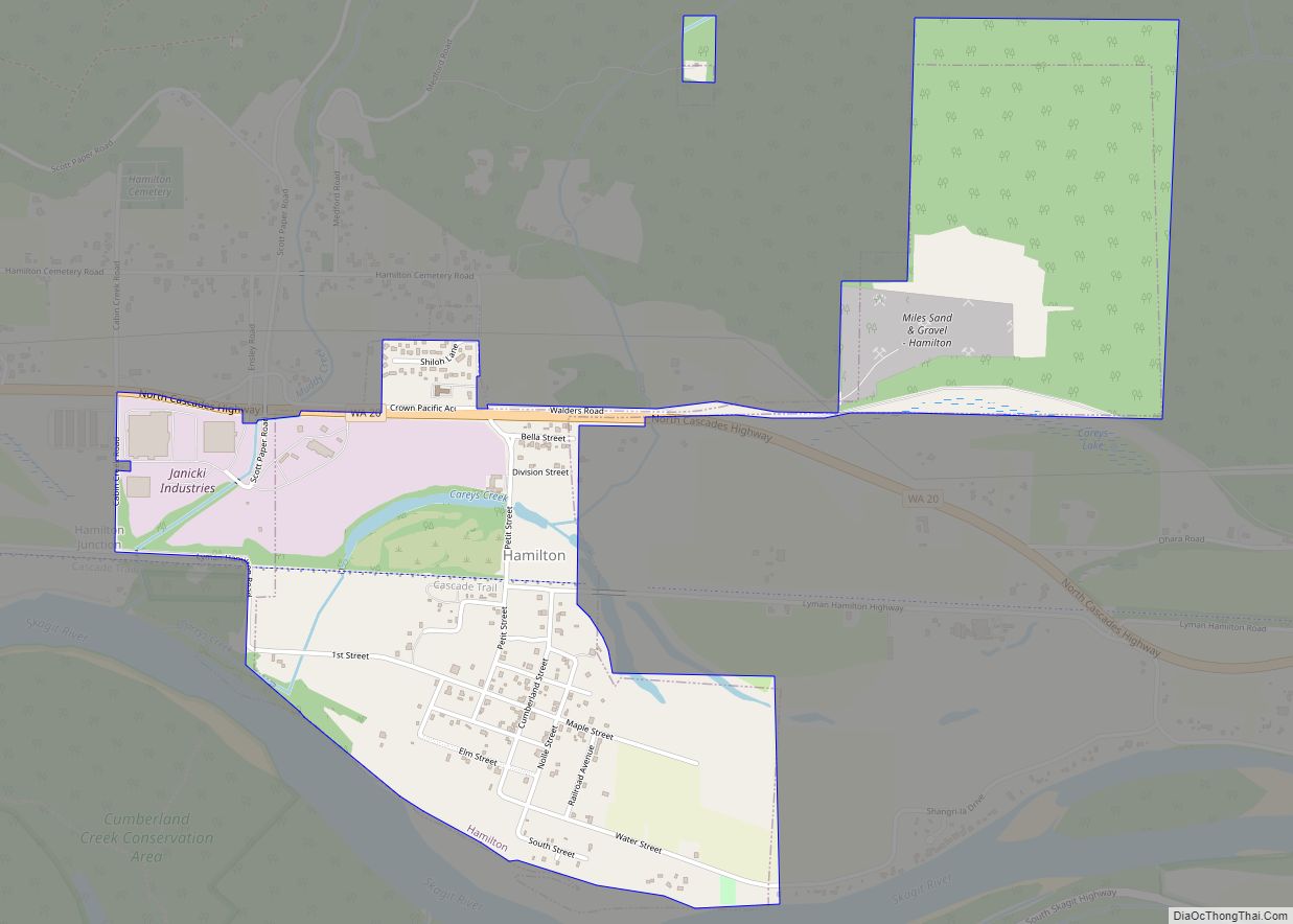
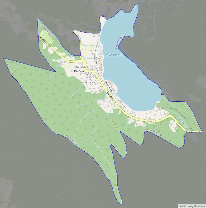
Lake McMurray Road Map
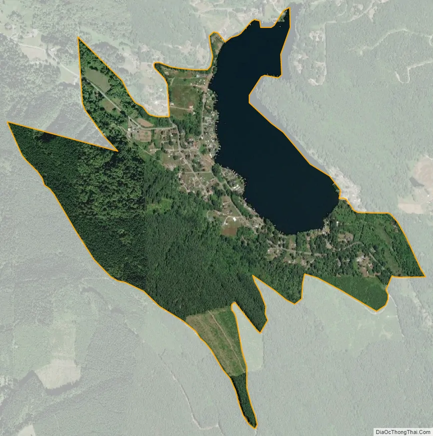
Lake McMurray city Satellite Map
Geography
Lake McMurray is located at 48°18′50″N 122°13′49″W / 48.31389°N 122.23028°W / 48.31389; -122.23028 (48.313850, -122.230144).
According to the United States Census Bureau, the CDP has a total area of 1.0 square miles (2.7 km), of which, 0.8 square miles (2.1 km) of it is land and 0.2 square miles (0.5 km) of it (19.42%) is water.
See also
Map of Washington State and its subdivision:- Adams
- Asotin
- Benton
- Chelan
- Clallam
- Clark
- Columbia
- Cowlitz
- Douglas
- Ferry
- Franklin
- Garfield
- Grant
- Grays Harbor
- Island
- Jefferson
- King
- Kitsap
- Kittitas
- Klickitat
- Lewis
- Lincoln
- Mason
- Okanogan
- Pacific
- Pend Oreille
- Pierce
- San Juan
- Skagit
- Skamania
- Snohomish
- Spokane
- Stevens
- Thurston
- Wahkiakum
- Walla Walla
- Whatcom
- Whitman
- Yakima
- Alabama
- Alaska
- Arizona
- Arkansas
- California
- Colorado
- Connecticut
- Delaware
- District of Columbia
- Florida
- Georgia
- Hawaii
- Idaho
- Illinois
- Indiana
- Iowa
- Kansas
- Kentucky
- Louisiana
- Maine
- Maryland
- Massachusetts
- Michigan
- Minnesota
- Mississippi
- Missouri
- Montana
- Nebraska
- Nevada
- New Hampshire
- New Jersey
- New Mexico
- New York
- North Carolina
- North Dakota
- Ohio
- Oklahoma
- Oregon
- Pennsylvania
- Rhode Island
- South Carolina
- South Dakota
- Tennessee
- Texas
- Utah
- Vermont
- Virginia
- Washington
- West Virginia
- Wisconsin
- Wyoming