Lake Morton-Berrydale is a census-designated place (CDP) in King County, Washington, United States. The population was 10,474 at the 2020 census.
Based on per capita income, one of the more reliable measures of affluence, Lake Morton-Berrydale ranks 44th of 522 areas in the state of Washington to be ranked.
| Name: | Lake Morton-Berrydale CDP |
|---|---|
| LSAD Code: | 57 |
| LSAD Description: | CDP (suffix) |
| State: | Washington |
| County: | King County |
| Elevation: | 470 ft (140 m) |
| Total Area: | 12.5 sq mi (32.3 km²) |
| Land Area: | 12.3 sq mi (31.8 km²) |
| Water Area: | 0.2 sq mi (0.5 km²) |
| Total Population: | 10,474 |
| Population Density: | 828/sq mi (319.6/km²) |
| FIPS code: | 5337567 |
| GNISfeature ID: | 2408545 |
Online Interactive Map
Click on ![]() to view map in "full screen" mode.
to view map in "full screen" mode.
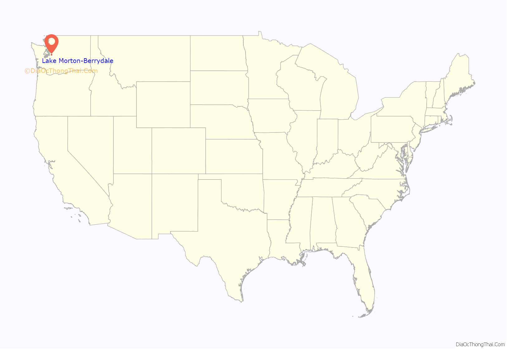
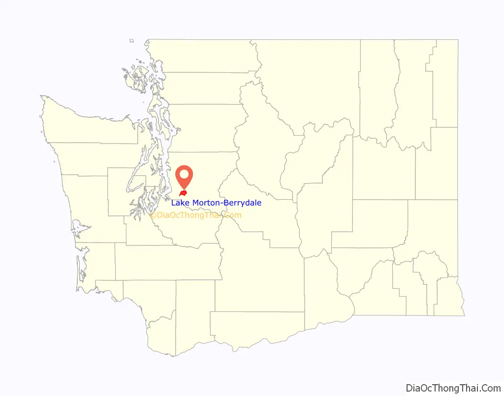
Lake Morton-Berrydale location map. Where is Lake Morton-Berrydale CDP?
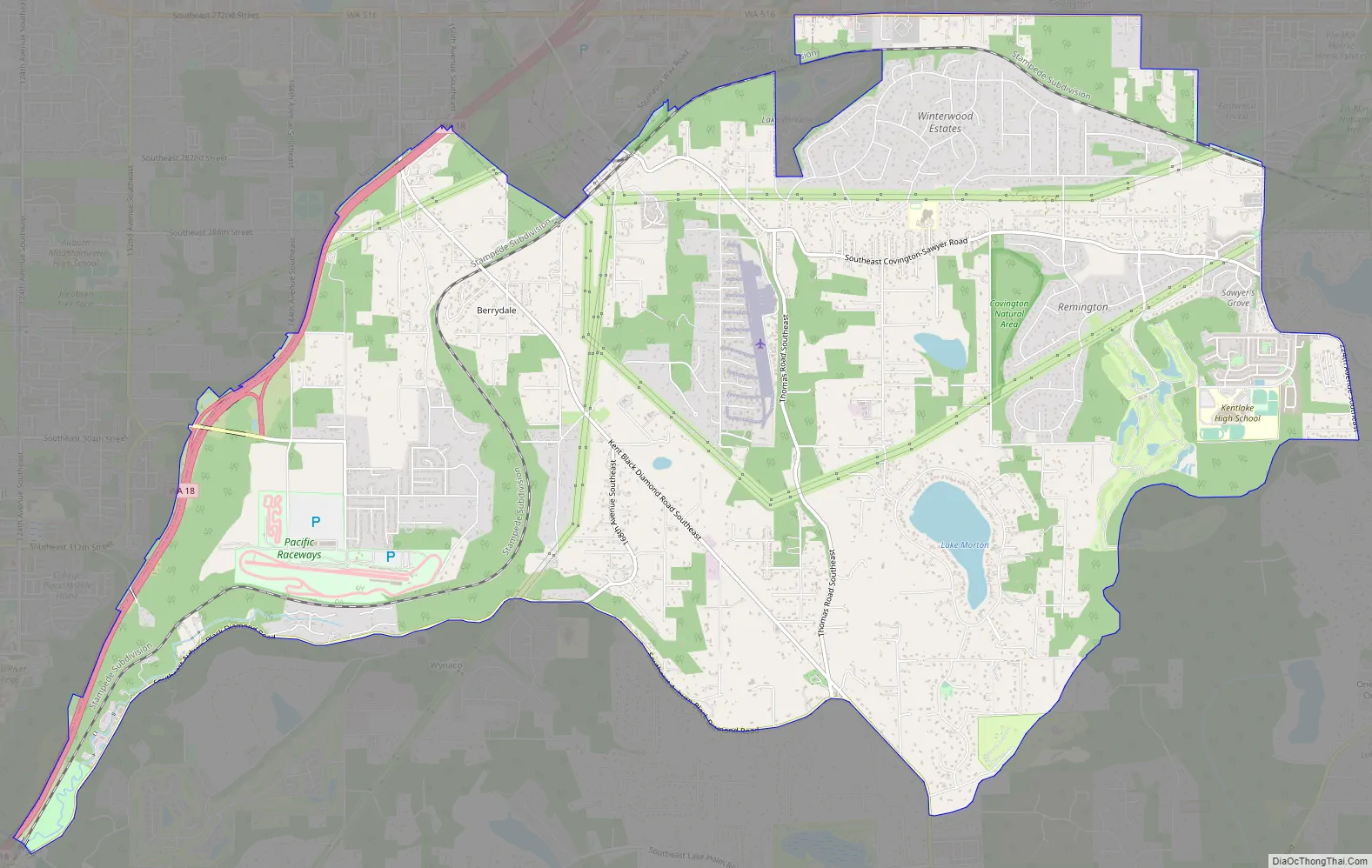
Lake Morton-Berrydale Road Map
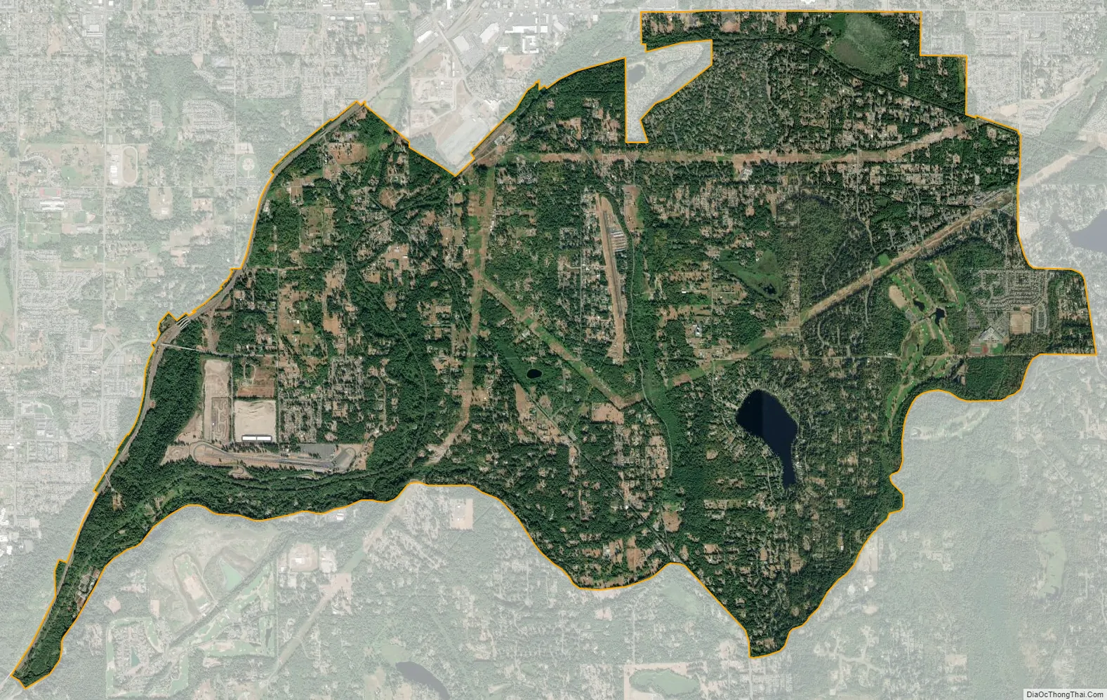
Lake Morton-Berrydale city Satellite Map
Geography
Lake Morton-Berrydale is located in southwestern King County at 47°19′54″N 122°6′12″W / 47.33167°N 122.10333°W / 47.33167; -122.10333 (47.331709, -122.103370). It is bordered to the west by the city of Auburn, to the northwest by Kent, to the north by Covington, to the northeast by Maple Valley, to the east by Black Diamond, and to the south by the Lake Holm CDP. The southern border of the Lake Morton-Berrydale CDP follows Covington Creek and Big Soos Creek, which flows west to the Green River. The namesake water body of Lake Morton is in the eastern part of the CDP, and the unincorporated community of Berrydale is in the northwest.
Washington State Route 18 forms the northwest border of the CDP, and leads northeast 17 miles (27 km) to Interstate 90 near Snoqualmie and southwest 6 miles (10 km) to Auburn. Downtown Tacoma is 20 miles (32 km) to the southwest, and downtown Seattle is 22 miles (35 km) to the northwest.
According to the United States Census Bureau, the Lake Morton-Berrydale CDP has a total area of 12.5 square miles (32.3 km), of which 12.3 square miles (31.8 km) are land and 0.2 square miles (0.5 km), or 1.60%, are water.
See also
Map of Washington State and its subdivision:- Adams
- Asotin
- Benton
- Chelan
- Clallam
- Clark
- Columbia
- Cowlitz
- Douglas
- Ferry
- Franklin
- Garfield
- Grant
- Grays Harbor
- Island
- Jefferson
- King
- Kitsap
- Kittitas
- Klickitat
- Lewis
- Lincoln
- Mason
- Okanogan
- Pacific
- Pend Oreille
- Pierce
- San Juan
- Skagit
- Skamania
- Snohomish
- Spokane
- Stevens
- Thurston
- Wahkiakum
- Walla Walla
- Whatcom
- Whitman
- Yakima
- Alabama
- Alaska
- Arizona
- Arkansas
- California
- Colorado
- Connecticut
- Delaware
- District of Columbia
- Florida
- Georgia
- Hawaii
- Idaho
- Illinois
- Indiana
- Iowa
- Kansas
- Kentucky
- Louisiana
- Maine
- Maryland
- Massachusetts
- Michigan
- Minnesota
- Mississippi
- Missouri
- Montana
- Nebraska
- Nevada
- New Hampshire
- New Jersey
- New Mexico
- New York
- North Carolina
- North Dakota
- Ohio
- Oklahoma
- Oregon
- Pennsylvania
- Rhode Island
- South Carolina
- South Dakota
- Tennessee
- Texas
- Utah
- Vermont
- Virginia
- Washington
- West Virginia
- Wisconsin
- Wyoming


