Lakeland South is a census-designated place (CDP) in King County, Washington, United States. The population was 11,574 at the 2010 census.
Based on per capita income, one of the more reliable measures of affluence, Lakeland South ranks 65th of 522 areas in the state of Washington to be ranked.
| Name: | Lakeland South CDP |
|---|---|
| LSAD Code: | 57 |
| LSAD Description: | CDP (suffix) |
| State: | Washington |
| County: | King County |
| Elevation: | 390 ft (120 m) |
| Total Area: | 5.12 sq mi (13.26 km²) |
| Land Area: | 4.98 sq mi (12.89 km²) |
| Water Area: | 0.15 sq mi (0.38 km²) |
| Total Population: | 11,574 |
| Population Density: | 2,326/sq mi (898.2/km²) |
| FIPS code: | 5337430 |
| GNISfeature ID: | 2408559 |
Online Interactive Map
Click on ![]() to view map in "full screen" mode.
to view map in "full screen" mode.
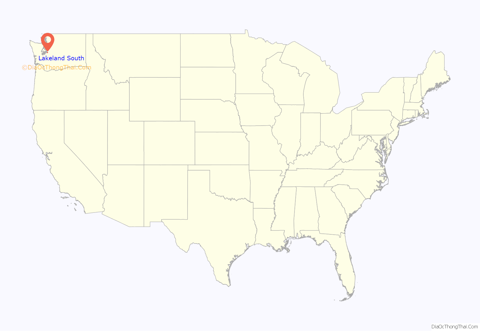
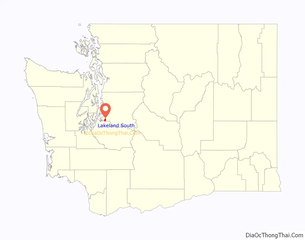
Lakeland South location map. Where is Lakeland South CDP?
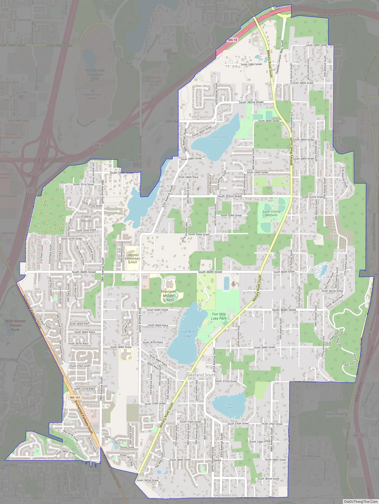
Lakeland South Road Map
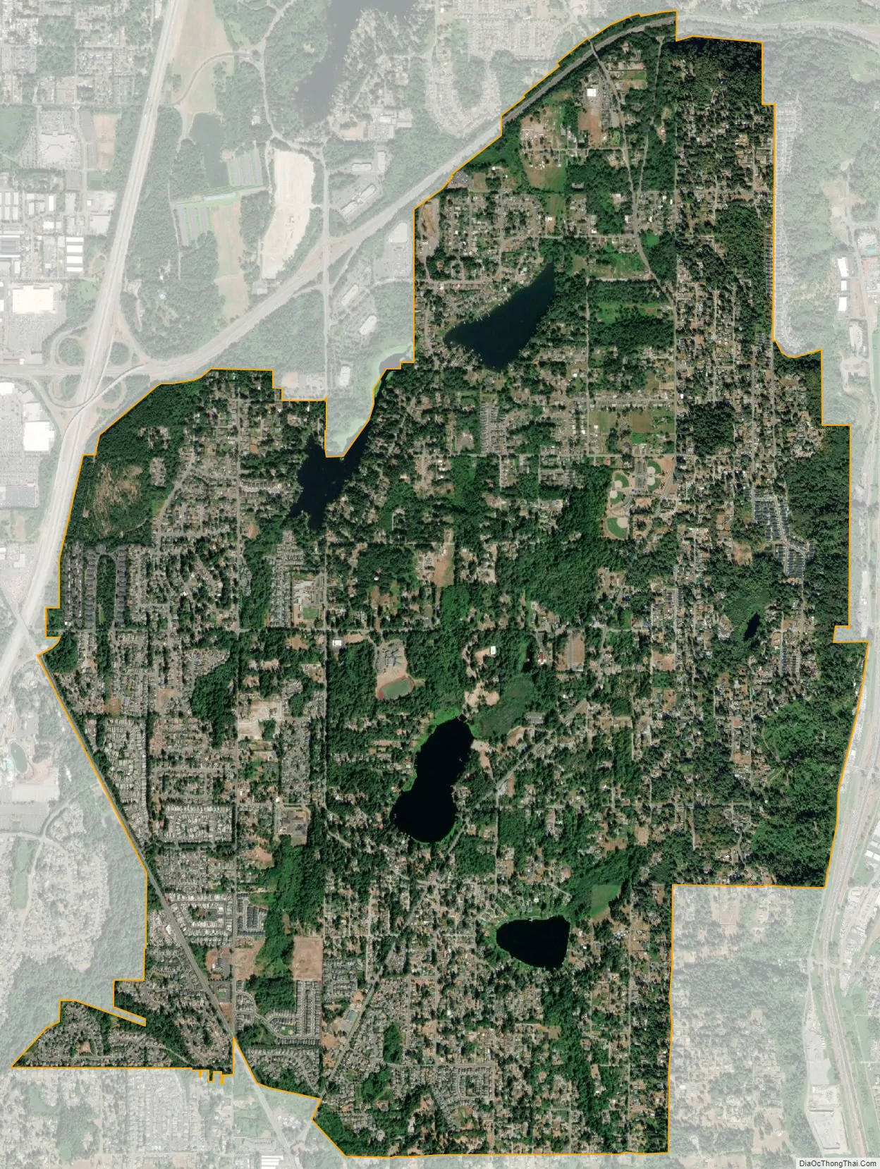
Lakeland South city Satellite Map
Geography
Lakeland South is located in southwestern King County at 47°16′38″N 122°17′2″W / 47.27722°N 122.28389°W / 47.27722; -122.28389 (47.277262, -122.283839). It is bordered to the north and west by the city of Federal Way, to the northeast by Auburn, to the east by Algona and Pacific, and to the south by Milton and Edgewood. The boundary with Edgewood is the Pierce County line. Interstate 5 touches the northwest edge of the community, Washington State Route 18 runs along the northern edge, and State Route 167 runs just east of the eastern edge. Downtown Tacoma is 9 miles (14 km) to the west, and downtown Seattle is 25 miles (40 km) to the north.
According to the United States Census Bureau, the Lakeland South CDP has a total area of 5.1 square miles (13.3 km), of which 5.0 square miles (12.9 km) are land and 0.2 square miles (0.4 km), or 2.84%, are water. Water bodies in the community include Trout Lake, Fivemile Lake, Lake Killarney, and Lake Geneva.
See also
Map of Washington State and its subdivision:- Adams
- Asotin
- Benton
- Chelan
- Clallam
- Clark
- Columbia
- Cowlitz
- Douglas
- Ferry
- Franklin
- Garfield
- Grant
- Grays Harbor
- Island
- Jefferson
- King
- Kitsap
- Kittitas
- Klickitat
- Lewis
- Lincoln
- Mason
- Okanogan
- Pacific
- Pend Oreille
- Pierce
- San Juan
- Skagit
- Skamania
- Snohomish
- Spokane
- Stevens
- Thurston
- Wahkiakum
- Walla Walla
- Whatcom
- Whitman
- Yakima
- Alabama
- Alaska
- Arizona
- Arkansas
- California
- Colorado
- Connecticut
- Delaware
- District of Columbia
- Florida
- Georgia
- Hawaii
- Idaho
- Illinois
- Indiana
- Iowa
- Kansas
- Kentucky
- Louisiana
- Maine
- Maryland
- Massachusetts
- Michigan
- Minnesota
- Mississippi
- Missouri
- Montana
- Nebraska
- Nevada
- New Hampshire
- New Jersey
- New Mexico
- New York
- North Carolina
- North Dakota
- Ohio
- Oklahoma
- Oregon
- Pennsylvania
- Rhode Island
- South Carolina
- South Dakota
- Tennessee
- Texas
- Utah
- Vermont
- Virginia
- Washington
- West Virginia
- Wisconsin
- Wyoming


