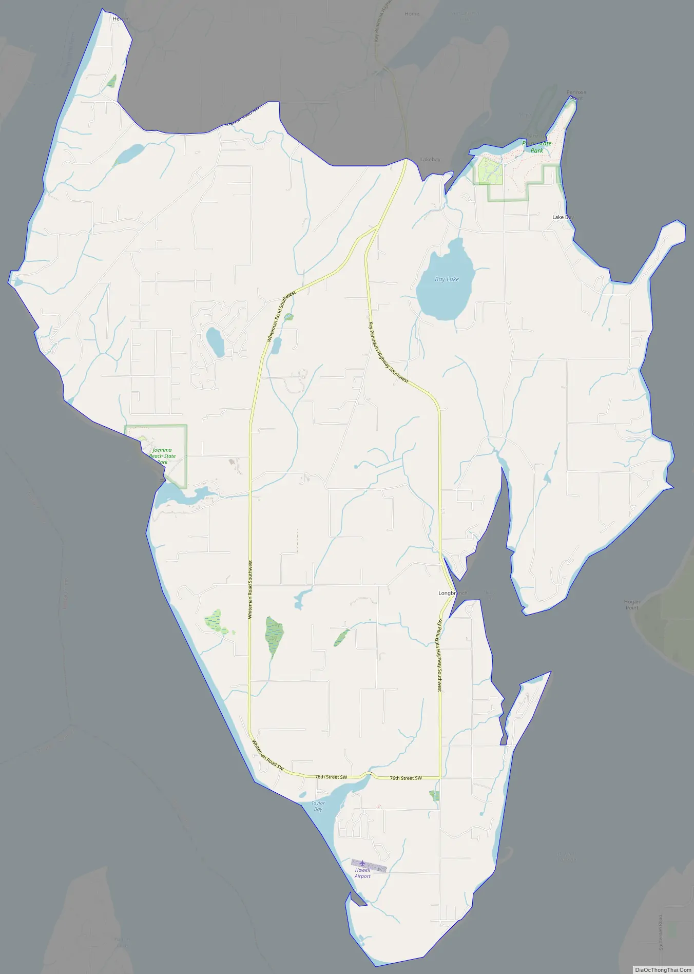
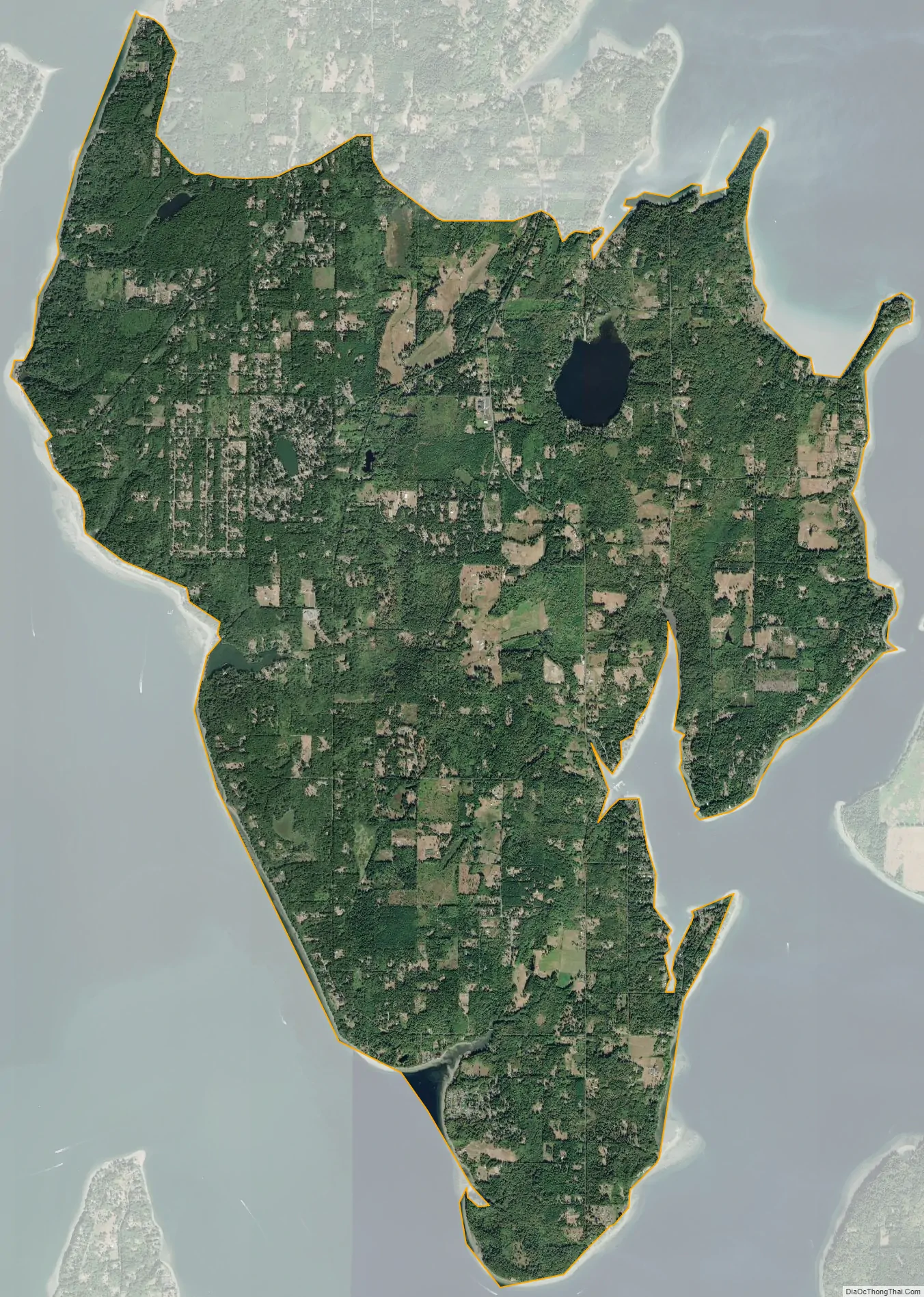
Longbranch is an unincorporated community and census-designated places in Pierce County, Washington, United States. It is located on the Key Peninsula, along Filucy Bay between Pitt Passage and Balch Passage. Longbranch is primarily residential (like nearby Home and Lakebay) and includes a marina, church, and community centre.
The community was named after Long Branch, New Jersey.
| Name: | Longbranch CDP |
|---|---|
| LSAD Code: | 57 |
| LSAD Description: | CDP (suffix) |
| State: | Washington |
| County: | Pierce County |
| Elevation: | 190 ft (60 m) |
| Total Area: | 20.01 sq mi (51.8 km²) |
| Land Area: | 19.69 sq mi (51.0 km²) |
| Water Area: | 0.32 sq mi (0.8 km²) |
| ZIP code: | 98351 |
| Area code: | 253 |
| FIPS code: | 5340105 |
Online Interactive Map
Click on ![]() to view map in "full screen" mode.
to view map in "full screen" mode.
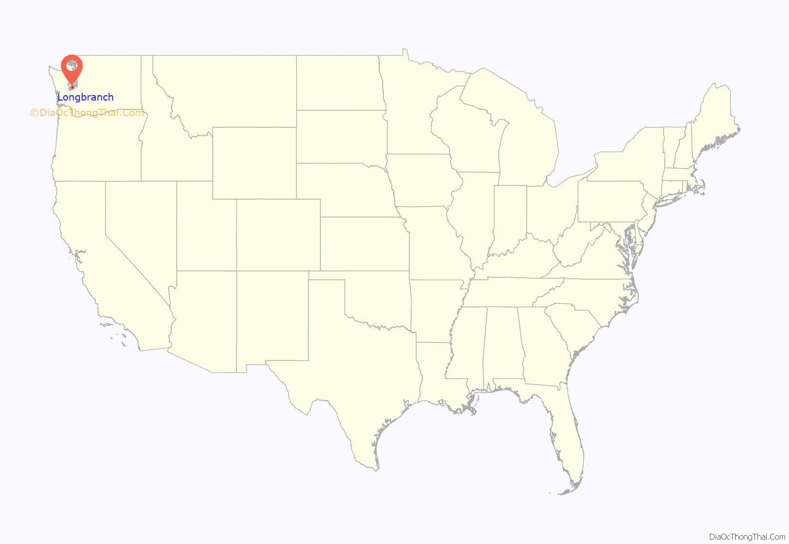
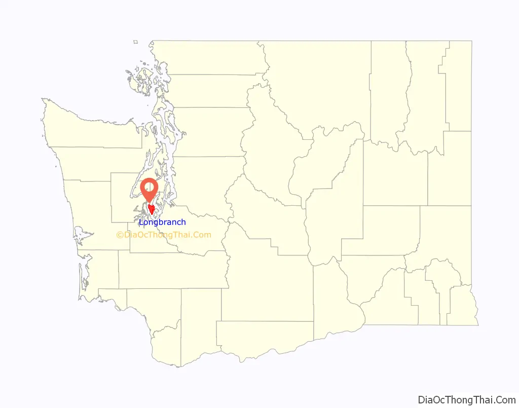
Longbranch location map. Where is Longbranch CDP?
History
In 1934, Longbranch was linked by ferry service with Steilacoom, Anderson and McNeil islands. The ferry continues in operation, but no longer connects to Longbranch.
Longbranch Road Map
Longbranch city Satellite Map
See also
Map of Washington State and its subdivision:- Adams
- Asotin
- Benton
- Chelan
- Clallam
- Clark
- Columbia
- Cowlitz
- Douglas
- Ferry
- Franklin
- Garfield
- Grant
- Grays Harbor
- Island
- Jefferson
- King
- Kitsap
- Kittitas
- Klickitat
- Lewis
- Lincoln
- Mason
- Okanogan
- Pacific
- Pend Oreille
- Pierce
- San Juan
- Skagit
- Skamania
- Snohomish
- Spokane
- Stevens
- Thurston
- Wahkiakum
- Walla Walla
- Whatcom
- Whitman
- Yakima
- Alabama
- Alaska
- Arizona
- Arkansas
- California
- Colorado
- Connecticut
- Delaware
- District of Columbia
- Florida
- Georgia
- Hawaii
- Idaho
- Illinois
- Indiana
- Iowa
- Kansas
- Kentucky
- Louisiana
- Maine
- Maryland
- Massachusetts
- Michigan
- Minnesota
- Mississippi
- Missouri
- Montana
- Nebraska
- Nevada
- New Hampshire
- New Jersey
- New Mexico
- New York
- North Carolina
- North Dakota
- Ohio
- Oklahoma
- Oregon
- Pennsylvania
- Rhode Island
- South Carolina
- South Dakota
- Tennessee
- Texas
- Utah
- Vermont
- Virginia
- Washington
- West Virginia
- Wisconsin
- Wyoming


