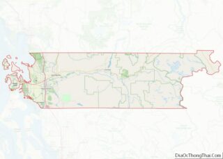
Marblemount is a census-designated place in Skagit County, Washington, United States. The population was 203 at the 2010 census. It is included in the Mount Vernon–Anacortes, Washington Metropolitan Statistical Area.
| Name: | Marblemount CDP |
|---|---|
| LSAD Code: | 57 |
| LSAD Description: | CDP (suffix) |
| State: | Washington |
| County: | Skagit County |
| Elevation: | 315 ft (96 m) |
| Total Area: | 2.5 sq mi (6.4 km²) |
| Land Area: | 2.4 sq mi (6.1 km²) |
| Water Area: | 0.1 sq mi (0.3 km²) |
| Total Population: | 203 |
| Population Density: | 106.1/sq mi (41.0/km²) |
| ZIP code: | 98267 |
| Area code: | 360 |
| FIPS code: | 5343325 |
| GNISfeature ID: | 1522717 |
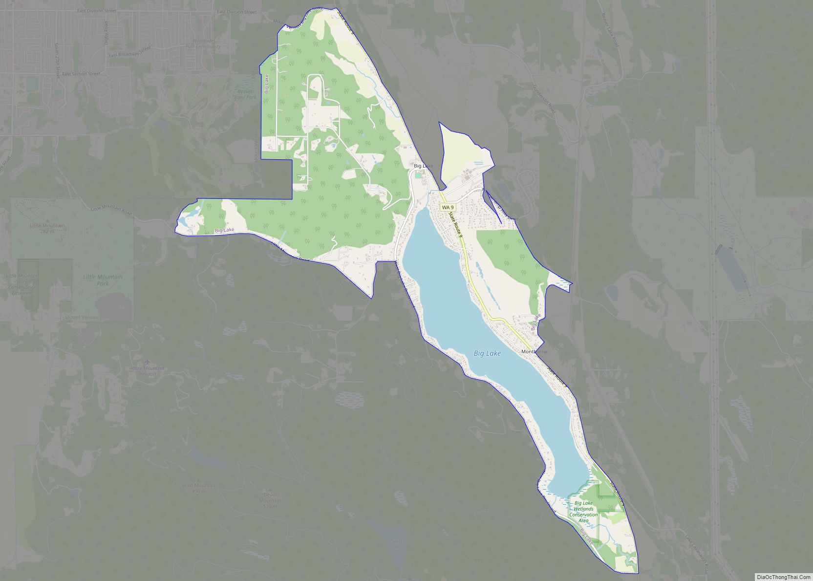
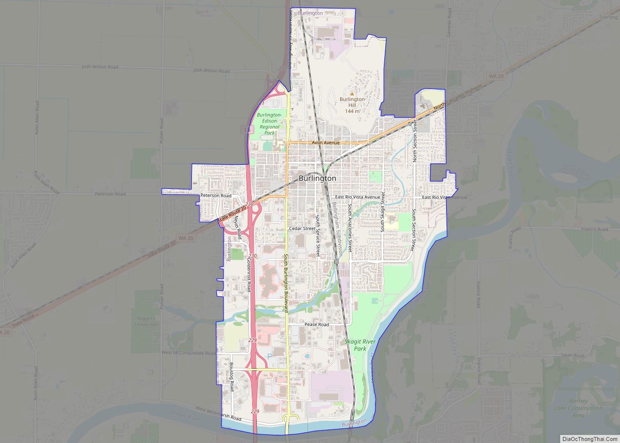
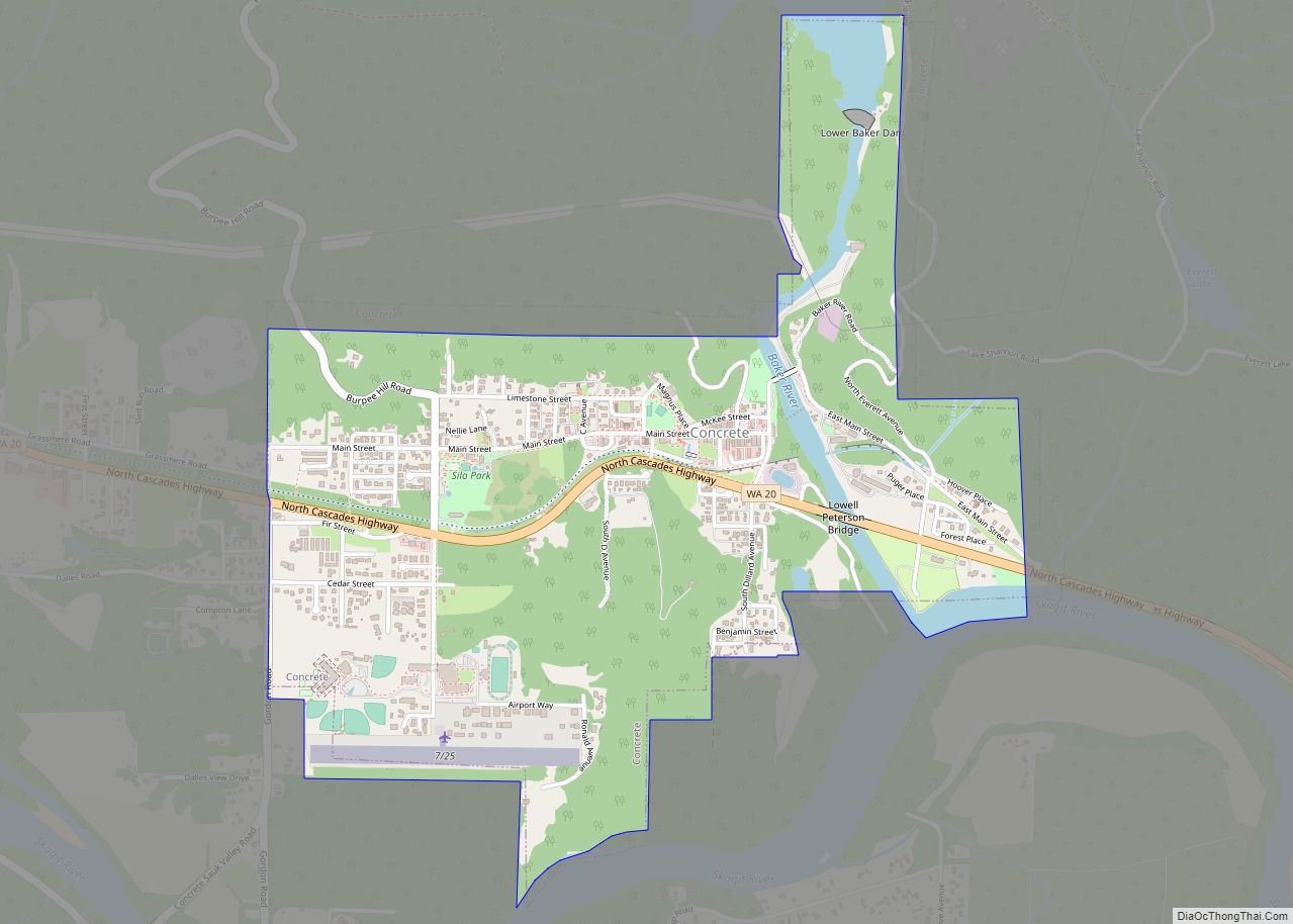
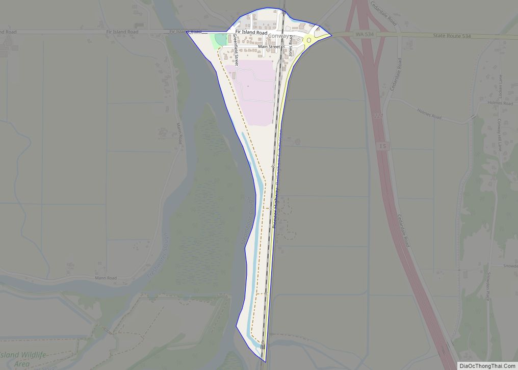
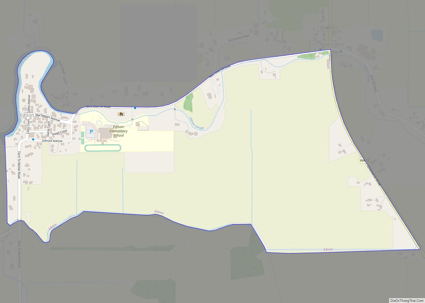
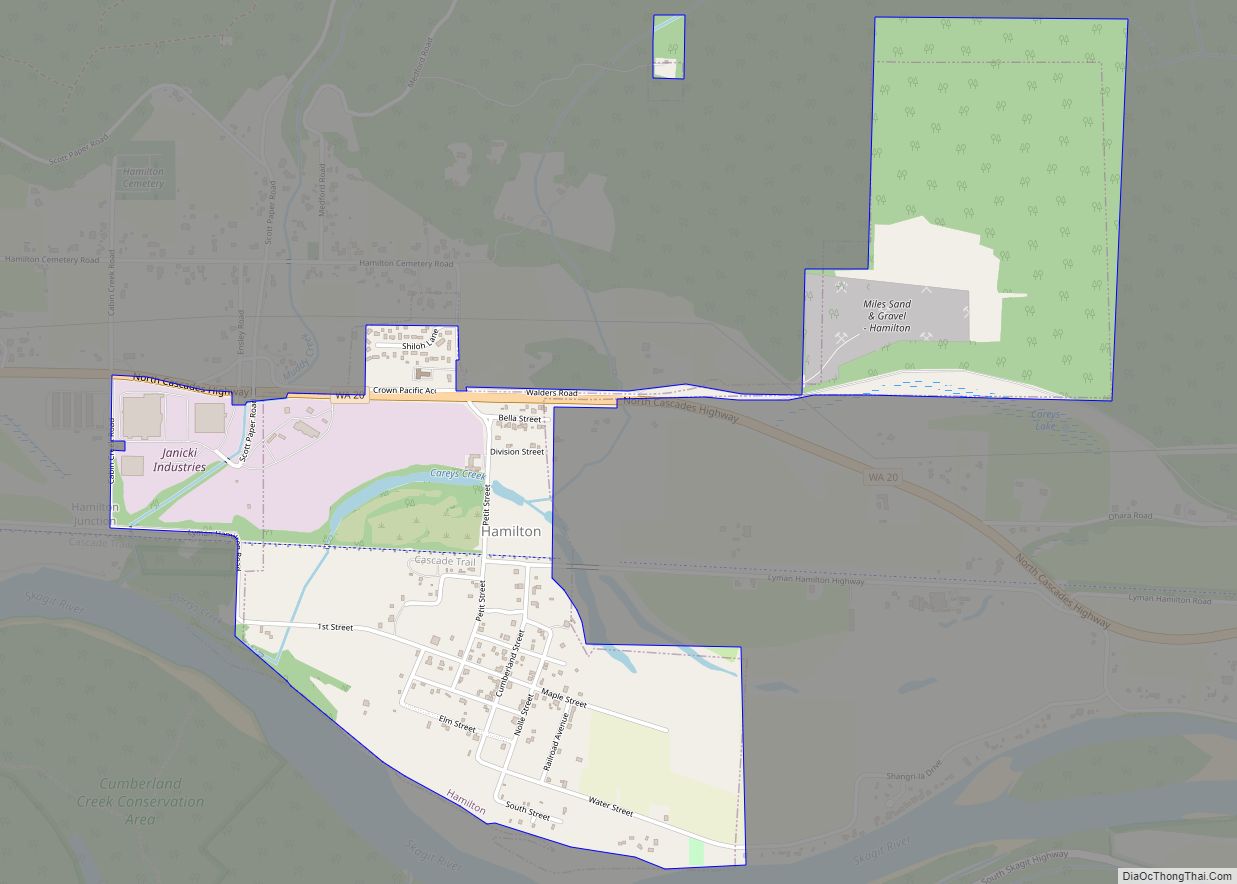
Online Interactive Map
Click on ![]() to view map in "full screen" mode.
to view map in "full screen" mode.
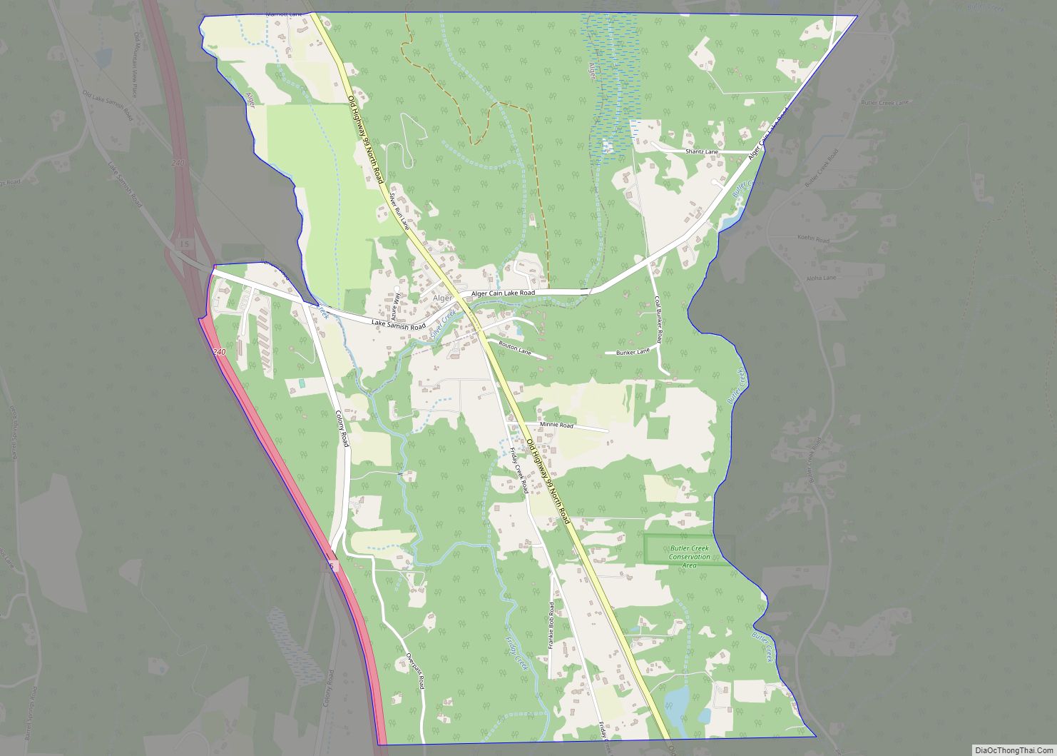
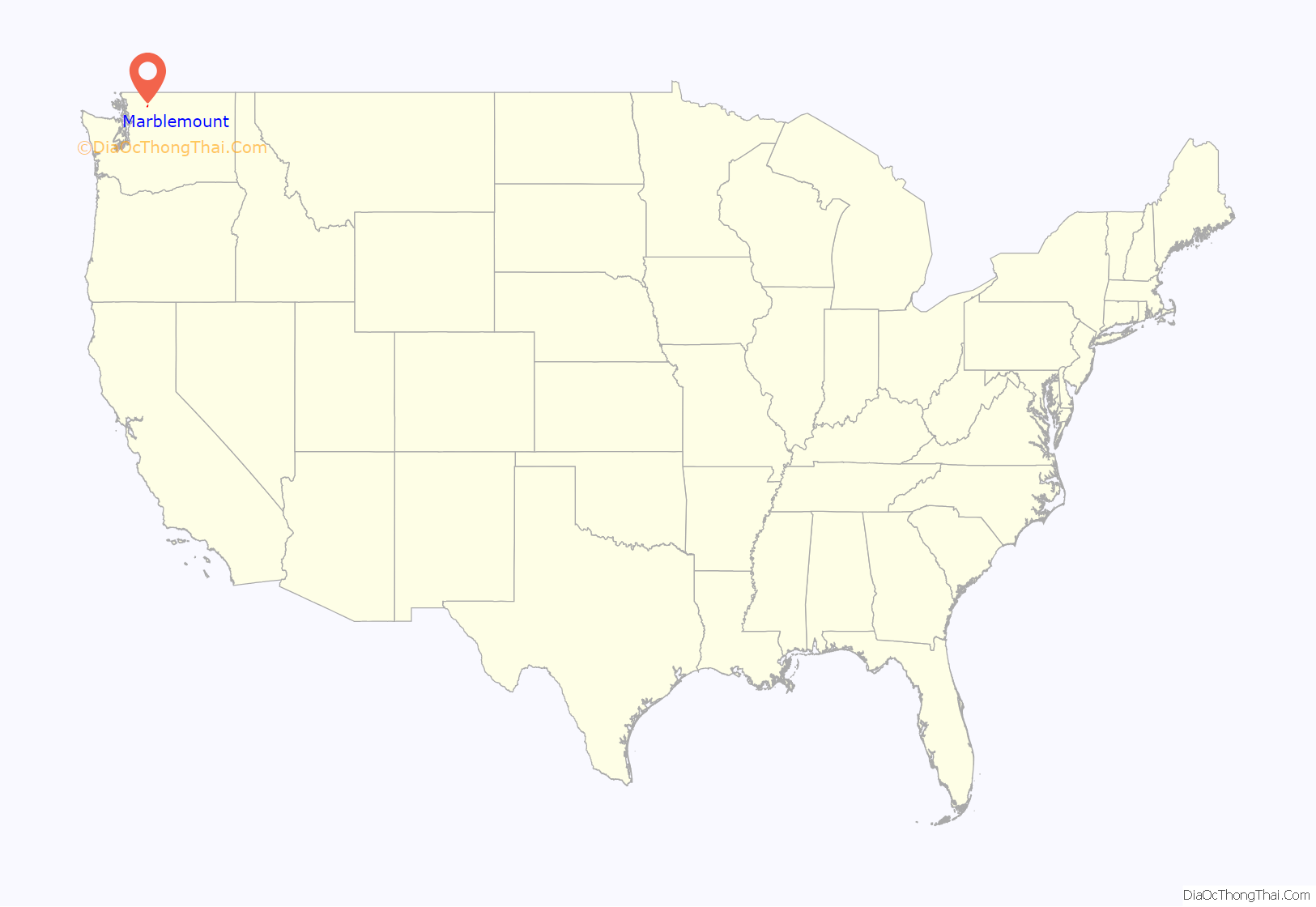
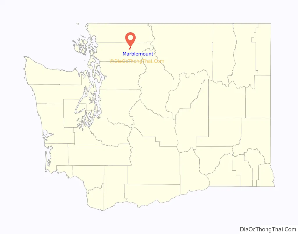
Marblemount location map. Where is Marblemount CDP?
History
Present-day Marblemount was the site of an indigenous village when naturalist George Gibbs explored the region in 1858. A community of Euro-Americans arose in the 1870s to supply goods for miners along the Skagit and Cascade River drainages. A wagon road was built between Marblemount and Sauk in 1892.
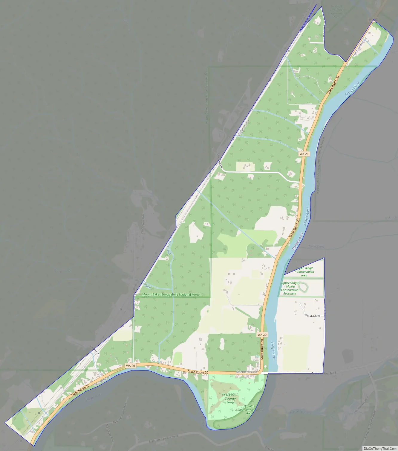
Marblemount Road Map
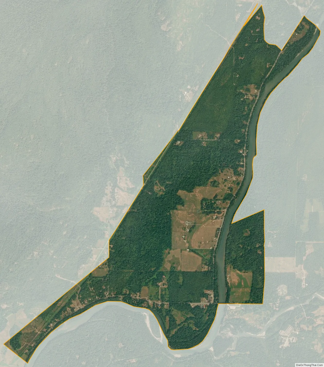
Marblemount city Satellite Map
Geography
Marblemount is located at 48°32′17″N 121°26′16″W / 48.53806°N 121.43778°W / 48.53806; -121.43778 (48.538154, -121.437844). It is situated at the confluence of the Cascade River and Skagit River. It is surrounded by Lookout Mountain to the east, and Helen Buttes to the northwest.
According to the United States Census Bureau, the CDP has a total area of 2.5 square miles (6.4 km), of which, 2.4 square miles (6.1 km) of it is land and 0.1 square miles (0.3 km) of it (4.44%) is water.
See also
Map of Washington State and its subdivision:- Adams
- Asotin
- Benton
- Chelan
- Clallam
- Clark
- Columbia
- Cowlitz
- Douglas
- Ferry
- Franklin
- Garfield
- Grant
- Grays Harbor
- Island
- Jefferson
- King
- Kitsap
- Kittitas
- Klickitat
- Lewis
- Lincoln
- Mason
- Okanogan
- Pacific
- Pend Oreille
- Pierce
- San Juan
- Skagit
- Skamania
- Snohomish
- Spokane
- Stevens
- Thurston
- Wahkiakum
- Walla Walla
- Whatcom
- Whitman
- Yakima
- Alabama
- Alaska
- Arizona
- Arkansas
- California
- Colorado
- Connecticut
- Delaware
- District of Columbia
- Florida
- Georgia
- Hawaii
- Idaho
- Illinois
- Indiana
- Iowa
- Kansas
- Kentucky
- Louisiana
- Maine
- Maryland
- Massachusetts
- Michigan
- Minnesota
- Mississippi
- Missouri
- Montana
- Nebraska
- Nevada
- New Hampshire
- New Jersey
- New Mexico
- New York
- North Carolina
- North Dakota
- Ohio
- Oklahoma
- Oregon
- Pennsylvania
- Rhode Island
- South Carolina
- South Dakota
- Tennessee
- Texas
- Utah
- Vermont
- Virginia
- Washington
- West Virginia
- Wisconsin
- Wyoming