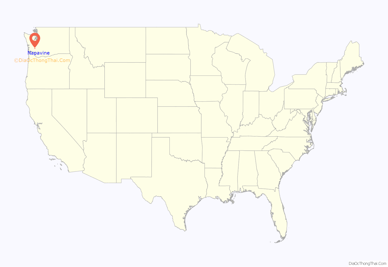
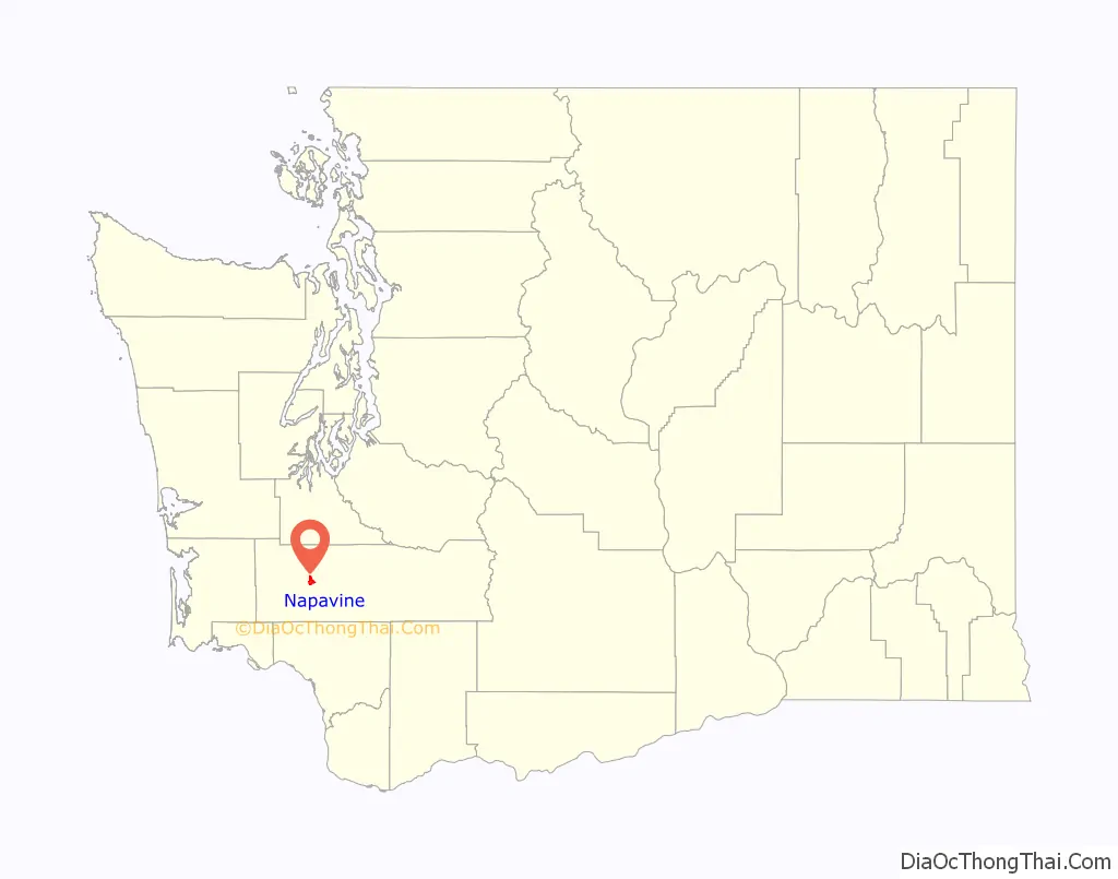
Napavine is a city in Lewis County, Washington, United States. The population was 1,766 at the 2020 census.
| Name: | Napavine city |
|---|---|
| LSAD Code: | 25 |
| LSAD Description: | city (suffix) |
| State: | Washington |
| County: | Lewis County |
| Incorporated: | 1913 |
| Elevation: | 459 ft (140 m) |
| Total Area: | 2.90 sq mi (7.52 km²) |
| Land Area: | 2.89 sq mi (7.49 km²) |
| Water Area: | 0.01 sq mi (0.03 km²) |
| Total Population: | 1,888 |
| Population Density: | 691.91/sq mi (267.19/km²) |
| ZIP code: | 98565 |
| Area code: | 360 |
| FIPS code: | 5347980 |
| GNISfeature ID: | 1506926 |
| Website: | CityofNapavine.com |
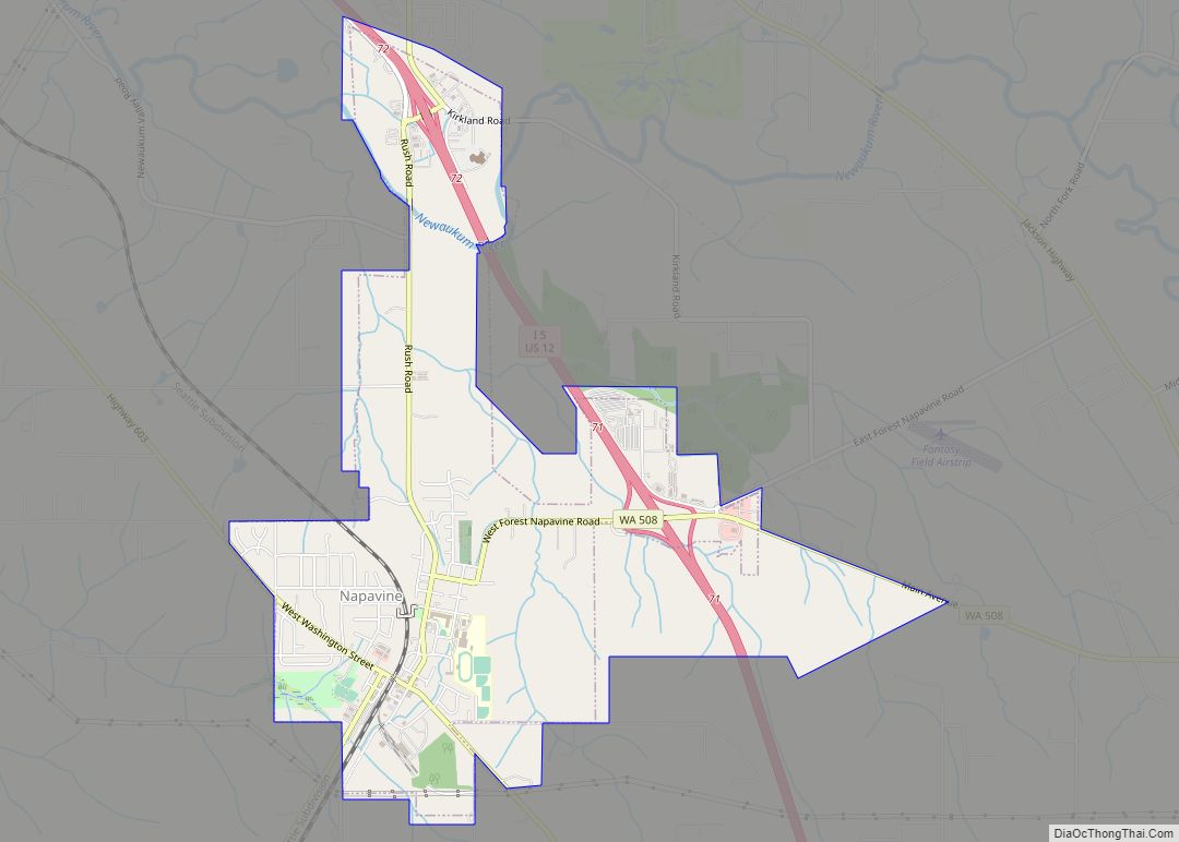
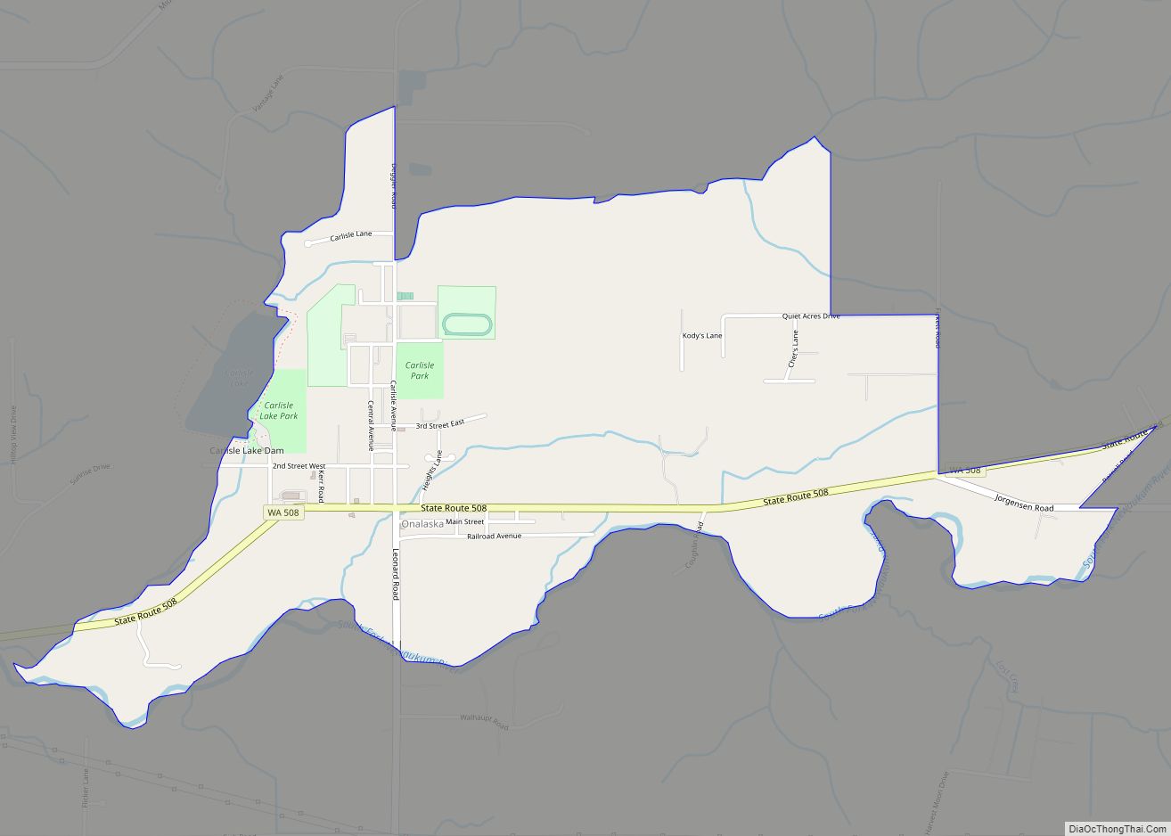
Online Interactive Map
Click on ![]() to view map in "full screen" mode.
to view map in "full screen" mode.
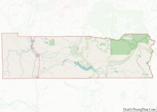
Napavine location map. Where is Napavine city?
History
Napavine was officially incorporated as a town on November 21, 1913. Settlers began arriving in the Cowlitz area in the early 1850s. In 1883, Scottish immigrant James Urquhart laid out the town naming it Napavine from the Indian word “Napavoon” meaning “small prairie”.
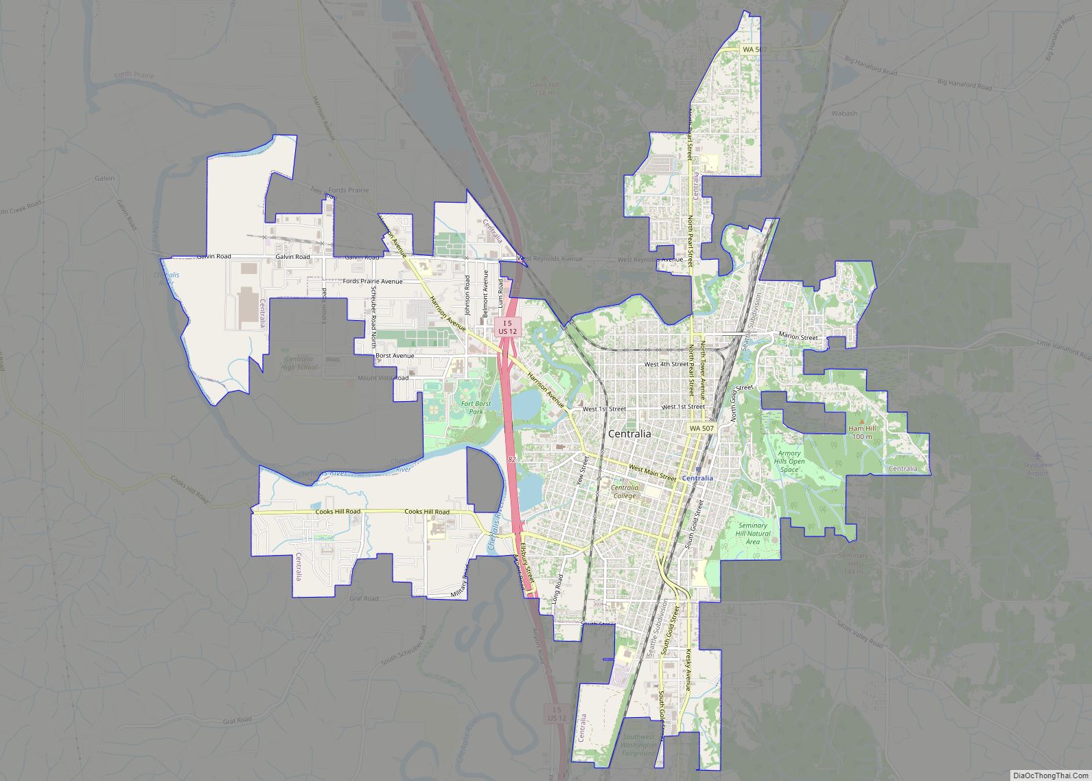
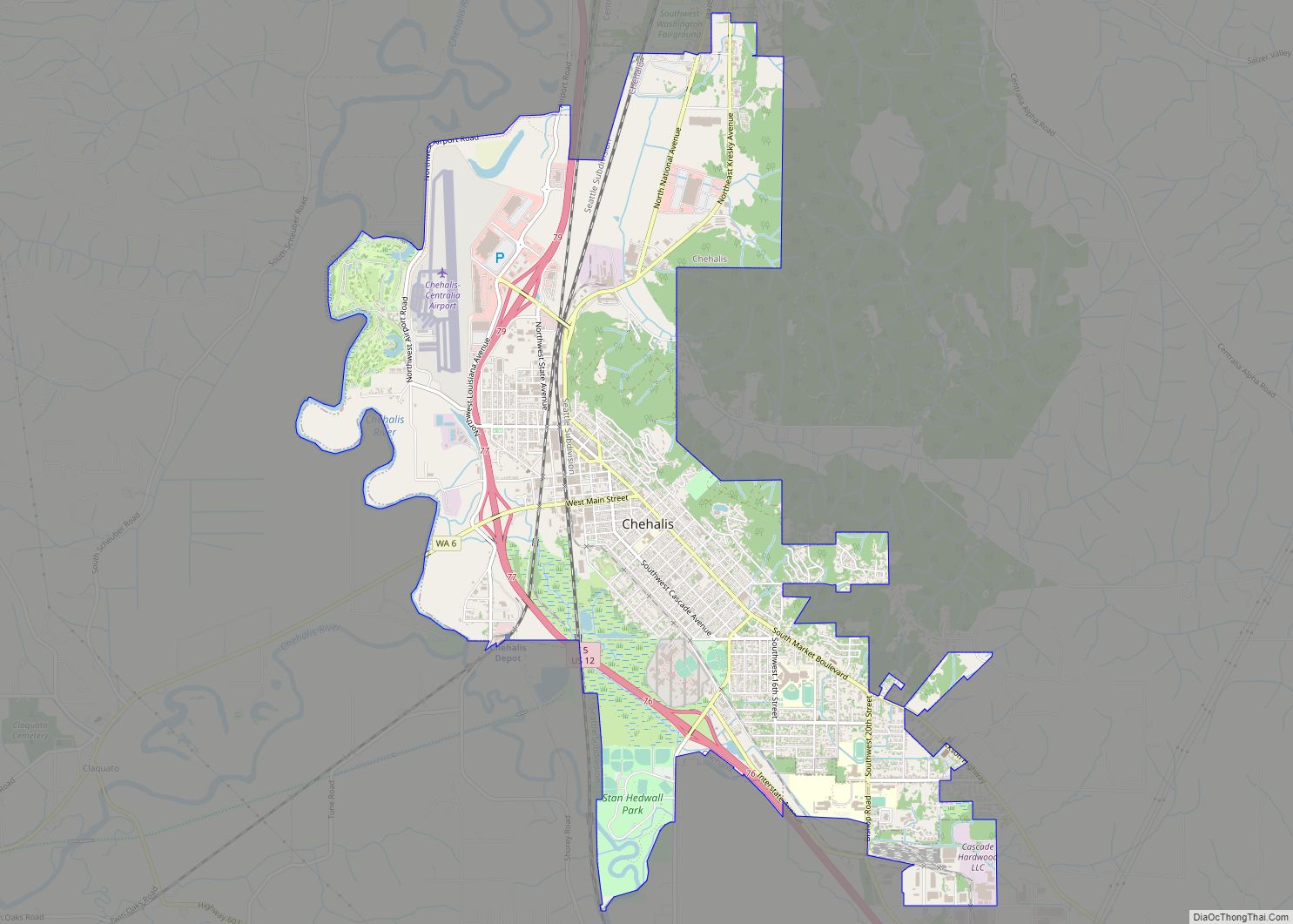
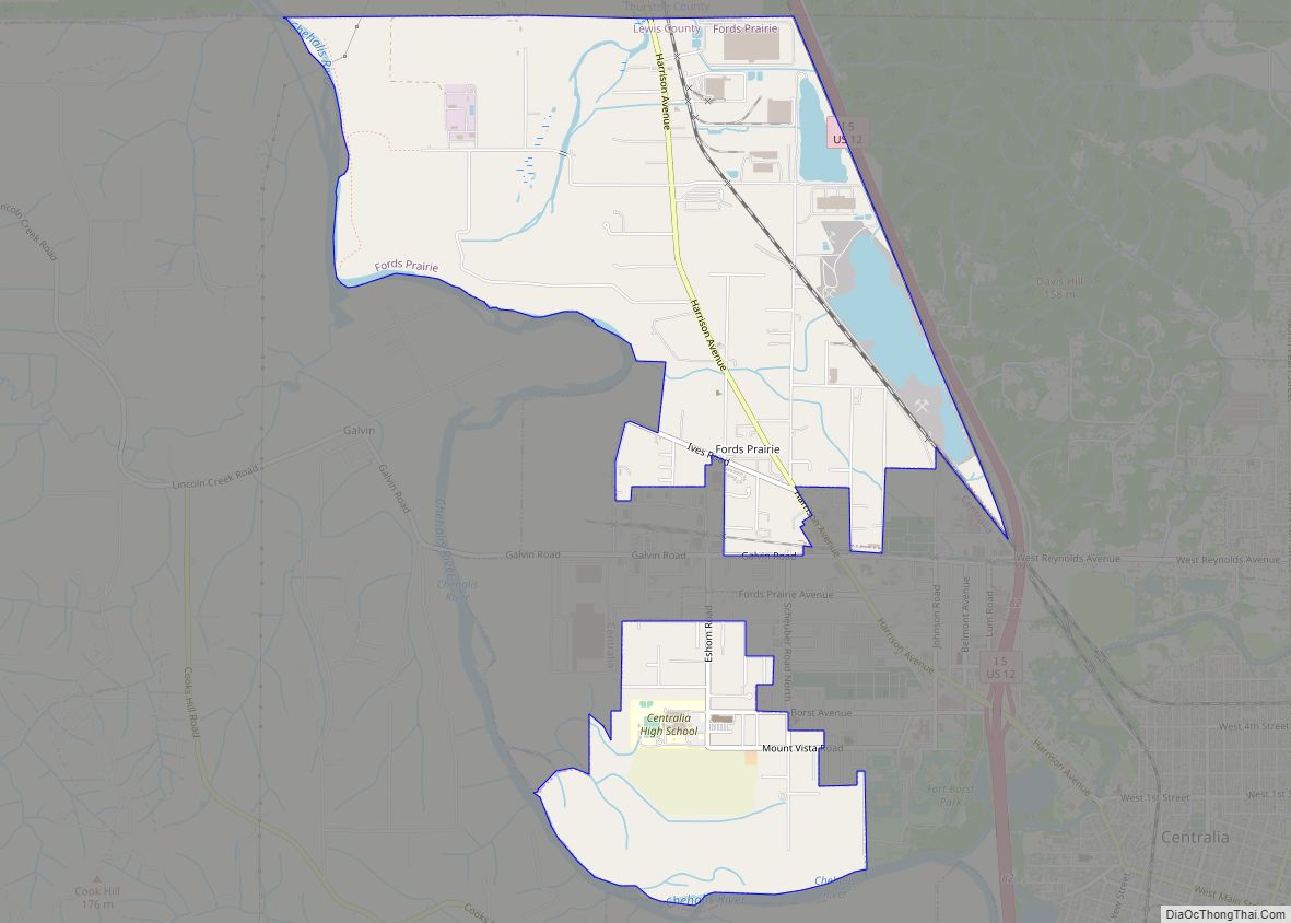
Napavine Road Map

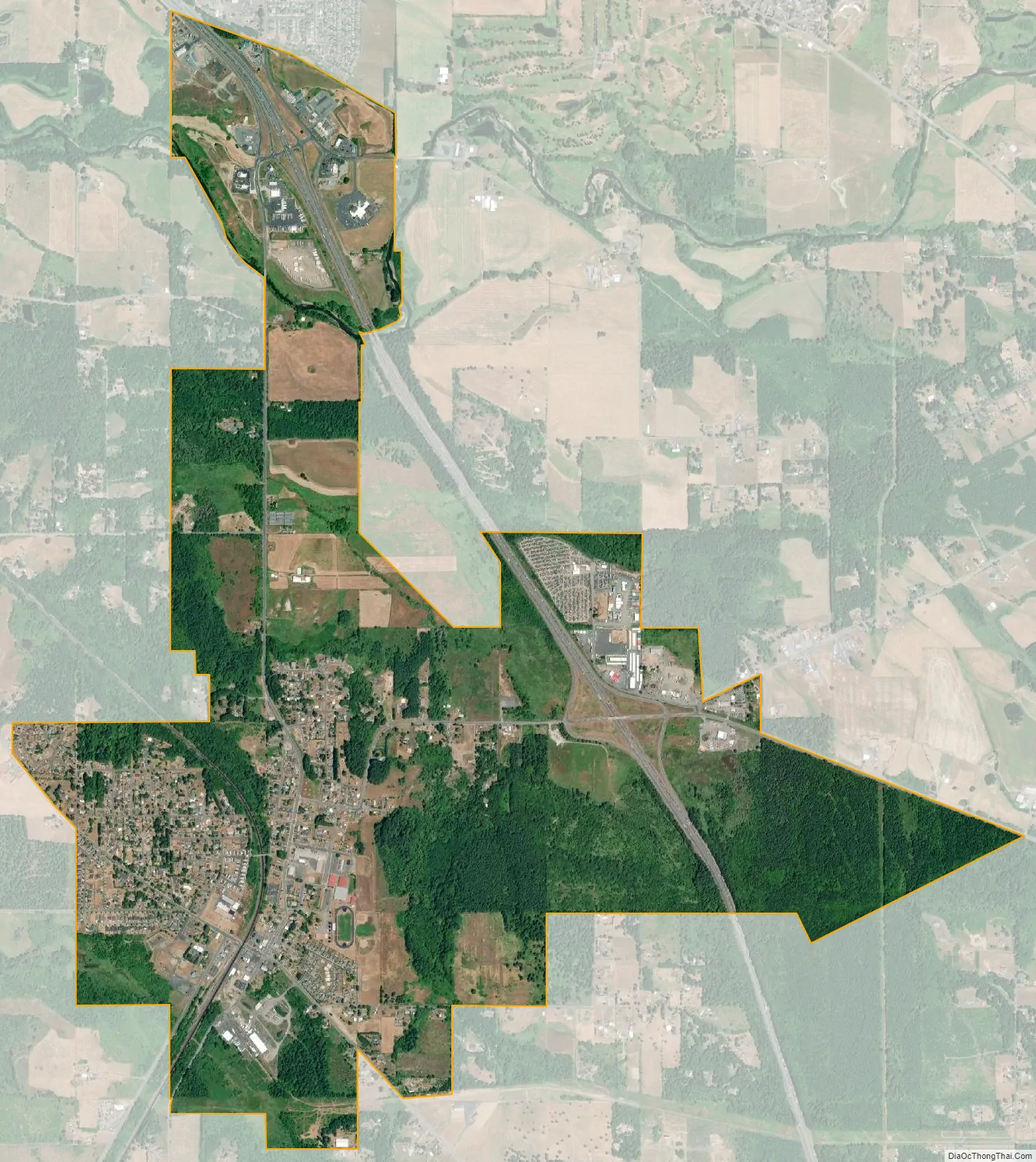
Napavine city Satellite Map
Geography
Napavine is located at 46°34′45″N 122°54′39″W / 46.579284°N 122.910935°W / 46.579284; -122.910935 (46.579284, -122.910935).
According to the United States Census Bureau, the city has a total area of 2.39 square miles (6.19 km), of which, 2.38 square miles (6.16 km) is land and 0.01 square miles (0.03 km) is water. The large hill that Napavine is sitting on is about 400 feet above sea level.
See also
Map of Washington State and its subdivision:- Adams
- Asotin
- Benton
- Chelan
- Clallam
- Clark
- Columbia
- Cowlitz
- Douglas
- Ferry
- Franklin
- Garfield
- Grant
- Grays Harbor
- Island
- Jefferson
- King
- Kitsap
- Kittitas
- Klickitat
- Lewis
- Lincoln
- Mason
- Okanogan
- Pacific
- Pend Oreille
- Pierce
- San Juan
- Skagit
- Skamania
- Snohomish
- Spokane
- Stevens
- Thurston
- Wahkiakum
- Walla Walla
- Whatcom
- Whitman
- Yakima
- Alabama
- Alaska
- Arizona
- Arkansas
- California
- Colorado
- Connecticut
- Delaware
- District of Columbia
- Florida
- Georgia
- Hawaii
- Idaho
- Illinois
- Indiana
- Iowa
- Kansas
- Kentucky
- Louisiana
- Maine
- Maryland
- Massachusetts
- Michigan
- Minnesota
- Mississippi
- Missouri
- Montana
- Nebraska
- Nevada
- New Hampshire
- New Jersey
- New Mexico
- New York
- North Carolina
- North Dakota
- Ohio
- Oklahoma
- Oregon
- Pennsylvania
- Rhode Island
- South Carolina
- South Dakota
- Tennessee
- Texas
- Utah
- Vermont
- Virginia
- Washington
- West Virginia
- Wisconsin
- Wyoming