Newcastle is an Eastside city in King County, Washington, United States. The population was 10,380 at the 2010 census and an estimated 12,292 in 2019.
Although Newcastle was not incorporated until 1994, it has been an important settlement and town since the late 19th century and played a major role in the development of Seattle and the surrounding region. Newcastle was one of the region’s first coal mining areas and its railroad link to Seattle was the first in King County. Timber also played a role in the early history of Newcastle. Coal delivered by rail from Newcastle’s mines to Seattle fueled the growth of the Port of Seattle and attracted railroads, most notably the Great Northern Railway.
The Newcastle coal mine began producing coal by the 1870s. More than 13 million tons of coal had been extracted by the time the mine closed in 1963. The history of Newcastle’s coal mining industry and the legacy of the mines’ many Chinese laborers are memorialized in place names such as Coal Creek, Coal Creek Parkway, and the Coal Creek and China Creek golf courses.
Based on per capita income, Newcastle ranks 11th of 522 areas in the state of Washington to be ranked. In CNN Money’s 2011 rankings of best places to live in the United States, Newcastle was in the top 20, along with nearby Sammamish. It ranked 17th in Newsweek’s 2009 rankings of best places to live in the United States.
| Name: | Newcastle city |
|---|---|
| LSAD Code: | 25 |
| LSAD Description: | city (suffix) |
| State: | Washington |
| County: | King County |
| Elevation: | 561 ft (171 m) |
| Total Area: | 4.46 sq mi (11.55 km²) |
| Land Area: | 4.45 sq mi (11.52 km²) |
| Water Area: | 0.01 sq mi (0.03 km²) |
| Total Population: | 10,380 |
| Population Density: | 2,762.87/sq mi (1,066.79/km²) |
| ZIP code: | 98056, 98059 |
| Area code: | 425 |
| FIPS code: | 5348645 |
| GNISfeature ID: | 1512503 |
| Website: | www.newcastlewa.gov |
Online Interactive Map
Click on ![]() to view map in "full screen" mode.
to view map in "full screen" mode.
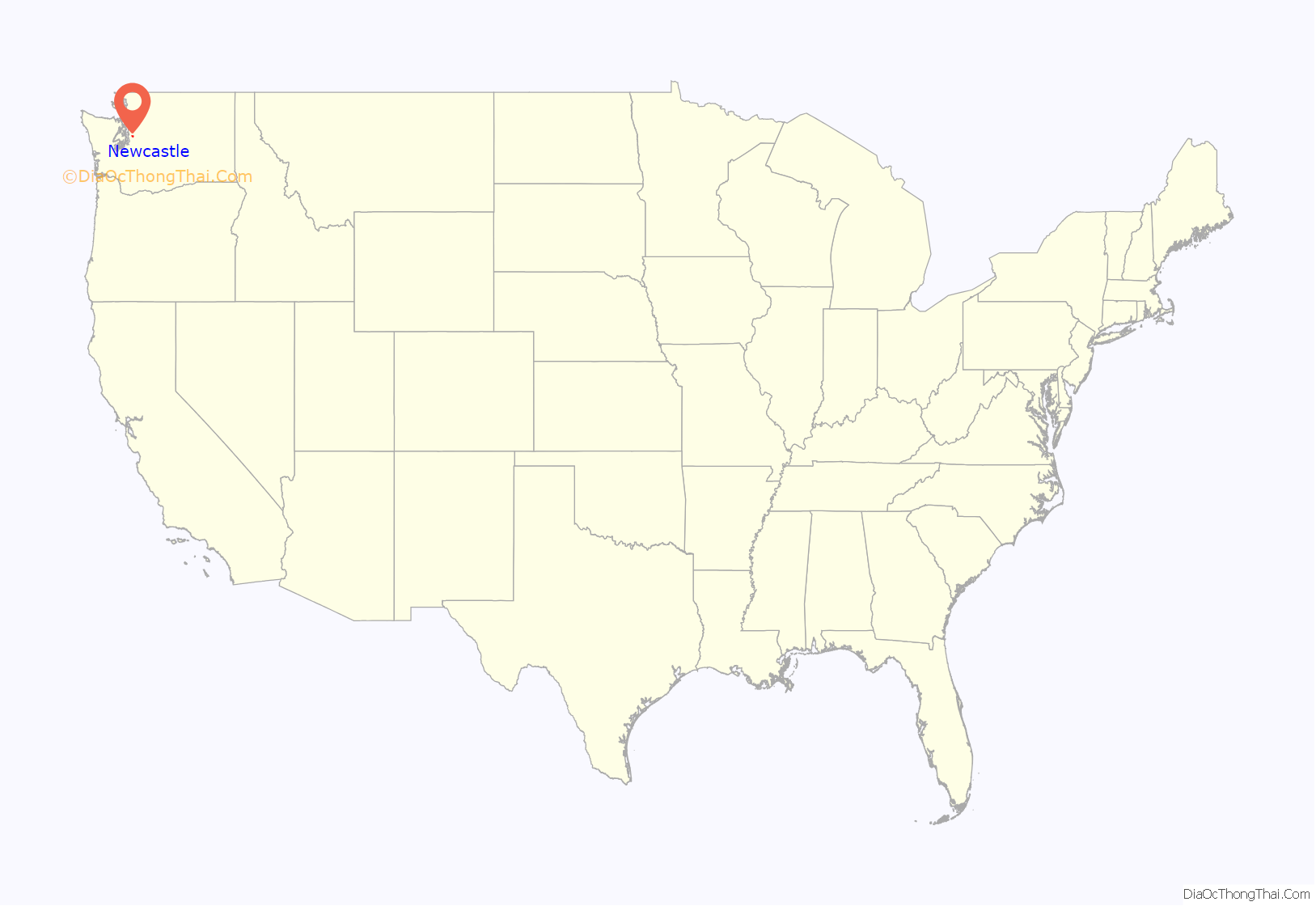
Newcastle location map. Where is Newcastle city?

History
Coal was discovered along Coal Creek in 1863 by surveyors Philip H. Lewis and Edwin Richardson, who had been working in the area for the General Land Office. Newcastle was named for the idiom “Coals to Newcastle” by a party of coal surveyors in 1869 according to F. H. Whitworth, who was part of the party. One of them suggested the name “New Castle” which was subsequently adopted by all parties of interest. The idiom itself refers to the English city of Newcastle upon Tyne.
Newcastle (originally spelled “New Castle”) as a village was properly established by the 1870s, though the official date given for the founding of the town is 1869, as seen on the seal for the City of Newcastle. By 1872, 75–100 tons of coal per day were being produced at Newcastle. About 60 men worked at the mines. The Seattle and Walla Walla Railroad, the first railroad in King County, reached Newcastle from Seattle in 1878. Coal mining ended in 1963.
The area was an unincorporated area within King County until it incorporated as a city on September 30, 1994. Currently the city is a suburban community. Based on Newcastle’s location north of Renton, south of Bellevue, and across Lake Washington from Seattle, these are the communities in which most of the residents of Newcastle work. East of southeast Lake Washington is a large quantity of hilly terrain, which creates opportunities for view properties. This created the impetus for the location of the Newcastle Golf Course, along with many high-value homes at higher elevations with views of downtown Bellevue, Seattle, and Mercer Island, as well as the Olympic Mountains. Notable attractions of the area include the Golf Club at Newcastle, a brand new Family YMCA, Lake Boren Park, a well developed trail system, and nearby Cougar Mountain in the east of Newcastle.
Newcastle and Newport Hills
The community was not always known as Newcastle. When suburban development came in the 1960s, the old mining town of Newcastle was long gone and all but forgotten. The area then became known as Newport Hills.
In the early 1990s there was a movement to incorporate as a new city. But some members of the community objected—some believed that the new city would be too small to be viable, while others feared that the city council would be in the pocket of the hilltop golf course. In 1993, five parcels of Newport Hills each voted to annex themselves into Bellevue. Those 5 parcels comprised nearly half the population of the community. They became the Newport Hills neighborhood of Bellevue. When Newport Hills incorporated as a new city the following year, their first order of business was to choose a new name, since it would now be confusing to have a city of Newport Hills adjacent to the Newport Hills neighborhood of Bellevue. Residents voted on Cougar Mountain and Newcastle, and chose the latter.
Politics
Mixed (Democratic, Republican, and Third Parties).
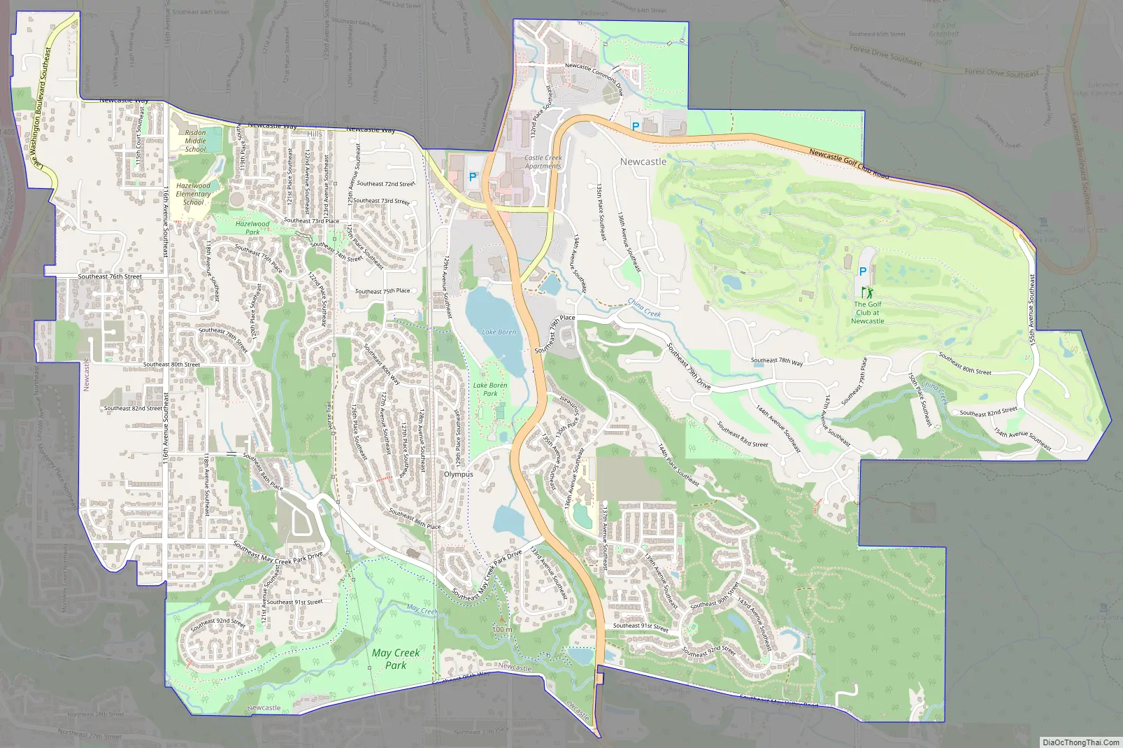
Newcastle Road Map
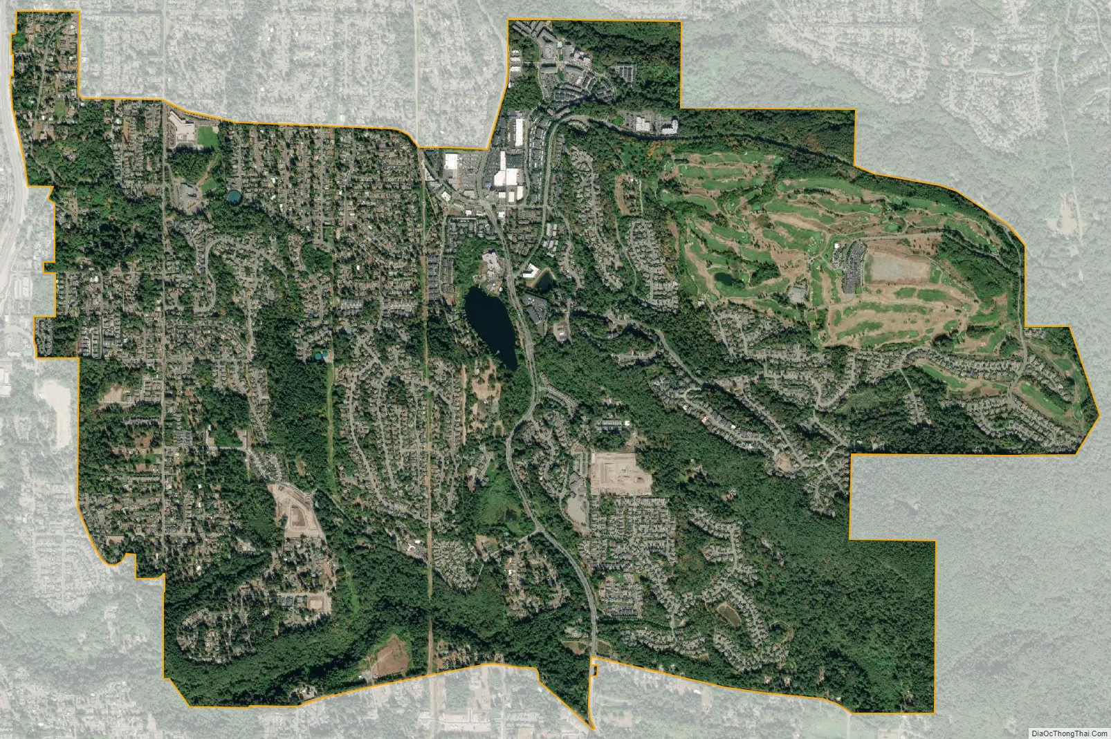
Newcastle city Satellite Map
Geography
Newcastle is located at 47°32′00″N 122°10′20″W / 47.533215°N 122.172101°W / 47.533215; -122.172101 (47.533215, -122.172101). Coal Creek flows through the city from the Issaquah Alps to Lake Washington.
Newcastle is bordered to the north by Bellevue, to the south by Renton, to the east by unincorporated land on Cougar Mountain, and to the west by Lake Washington.
According to the United States Census Bureau, the city of Newcastle has a total area of 4.46 square miles (11.55 km), of which 4.45 square miles (11.53 km) are land and 0.01 square miles (0.03 km) are water.
Climate
See also
Map of Washington State and its subdivision:- Adams
- Asotin
- Benton
- Chelan
- Clallam
- Clark
- Columbia
- Cowlitz
- Douglas
- Ferry
- Franklin
- Garfield
- Grant
- Grays Harbor
- Island
- Jefferson
- King
- Kitsap
- Kittitas
- Klickitat
- Lewis
- Lincoln
- Mason
- Okanogan
- Pacific
- Pend Oreille
- Pierce
- San Juan
- Skagit
- Skamania
- Snohomish
- Spokane
- Stevens
- Thurston
- Wahkiakum
- Walla Walla
- Whatcom
- Whitman
- Yakima
- Alabama
- Alaska
- Arizona
- Arkansas
- California
- Colorado
- Connecticut
- Delaware
- District of Columbia
- Florida
- Georgia
- Hawaii
- Idaho
- Illinois
- Indiana
- Iowa
- Kansas
- Kentucky
- Louisiana
- Maine
- Maryland
- Massachusetts
- Michigan
- Minnesota
- Mississippi
- Missouri
- Montana
- Nebraska
- Nevada
- New Hampshire
- New Jersey
- New Mexico
- New York
- North Carolina
- North Dakota
- Ohio
- Oklahoma
- Oregon
- Pennsylvania
- Rhode Island
- South Carolina
- South Dakota
- Tennessee
- Texas
- Utah
- Vermont
- Virginia
- Washington
- West Virginia
- Wisconsin
- Wyoming


