Oakville is a city in Grays Harbor County, Washington, United States. It was incorporated in 1905, with booming lumber, railway, and farming industries creating the early foundation of the community. The population was 715 at the 2020 census.
| Name: | Oakville city |
|---|---|
| LSAD Code: | 25 |
| LSAD Description: | city (suffix) |
| State: | Washington |
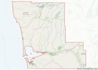
| County: | Grays Harbor County |
| Elevation: | 95 ft (29 m) |
| Total Area: | 0.55 sq mi (1.43 km²) |
| Land Area: | 0.55 sq mi (1.43 km²) |
| Water Area: | 0.00 sq mi (0.00 km²) |
| Total Population: | 715 |
| ZIP code: | 98568 |
| Area code: | 360 |
| FIPS code: | 5350430 |
| GNISfeature ID: | 1507136 |
| Website: | OakvilleCityHall.com |
Online Interactive Map
Click on ![]() to view map in "full screen" mode.
to view map in "full screen" mode.
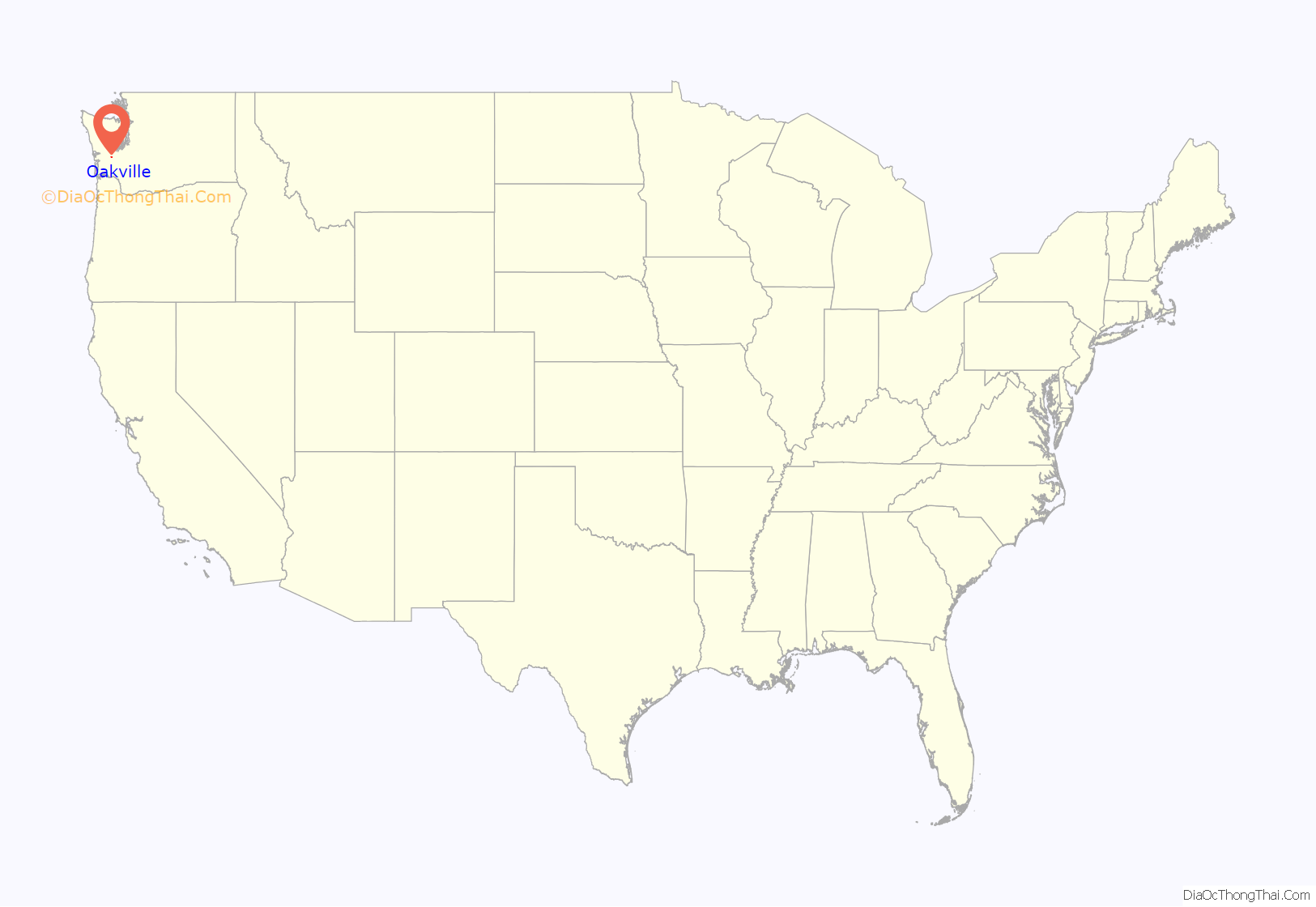
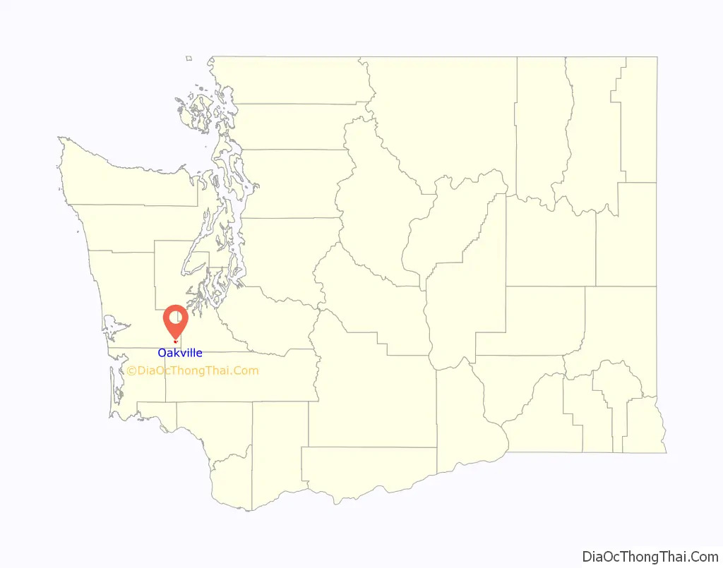
Oakville location map. Where is Oakville city?
History
In 1818, the United States and Great Britain agreed to a treaty of joint occupancy in the Oregon Country, which included the land that would eventually become Oakville, Washington. Over the next several decades, citizens of the United States began to settle in the area. As traveling by boat was easier than moving through the dense forests, many used the river system, entering from the port of Grays Harbor and canoeing inland via the Chehalis River. The British government gave full ownership of the area to the United States in 1846.
In 1850, the land now occupied by Oakville was mainly open prairie, maintained by yearly fires started deliberately by local tribes, which kept the forest from encroaching and which encouraged the bloom of camas, a staple food, and other plants. This open land was attractive to settlers arriving in the area. The native people of the area were very helpful to the settlers, and towns began to be platted up and down the Chehalis River. In the 1870s, a party of several families relocated to the area from Crawford County, Illinois. The leader of the party, James Reed Harris, had purchased the donation claim for the area from John Hole for $1200. He applied for a post office, and after some discussion, it was decided to use the name “Oakville,” inspired by the Garry oak trees in the area; the post office opened on December 31, 1873. Logging and railroad construction soon brought other settlers to the area; the plat of the city site was filed on September 27, 1887. Around 1890, Northern Pacific Railway was laying tracks through the city. By the turn of the century, a Northern Pacific train station had been established in the city, and the area had several general stores, a new school, and a couple of hotels. Oakville was officially incorporated on December 18, 1905.
In 1909, a report by the Railroad Commission of Washington described Oakville:
Lumber was a major industry in the early days of the city; in 1916, Oakville Lumber Company, Big Fir Lumber Company, Vance Lumber Company, and others were in operation, along with the Callow Mill. The city was “noted for large shipments of cascara bark.” Factories were also part of the city’s economy, with the E.H. Hilton & Co. Oiled Clothes Factory in operation by 1915, and the Oakville Co-Operative Cheese Company incorporating a few years later. Other businesses in the early days of the city included a jewelry store, a shoe company, and a hardware store. The city’s librarian Clara Trudgeon had been appointed by the State Traveling Library by 1908, making Oakville eligible to be a recipient of one of the 150 cases of books the state had in rotation. The weekly newspaper was The Oakville Cruiser. By 1919, the city had an active community center, and the high school had received accreditation as a four-year school.
The historic bank was incorporated on August 14, 1909 by C.R. Harper and C.C. Scates; first called the Oakville State Bank, it changed names and ownership several times over the next century. It is said to be the last bank in Washington to be robbed by a rider on horseback. The city has commemorated this throughout the years by hosting reenactments of the robbery, with groups competing to give the best performance.
Settlers at their homestead on the west side of Oakville, circa 1890.
Track being laid for the railroad near Oakville, circa 1890.
Oakville in 1906
Oakville blobs
On August 7, 1994, a resident reported that a translucent, gelatinous substance had rained down in the night; she expressed concern that it may have caused her and her mother to become ill, and speculated it may have been the reason her kitten died. When the substance, colloquially known as “Oakville blobs,” appeared again, samples were collected and tested by a local doctor, who initially stated that the substance contained human blood cells. Further testing by the Department of Ecology refuted these results, as tests showed that there were no nuclei present. Several theories were given by residents, including wondering whether the substance might have been waste from a commercial plane toilet or whether it may have been particles of deceased jellyfish that had evaporated and been incorporated into a rain cloud. The blobs were also found to contain two species of bacteria. No theory was ever proven to be correct, but for a time, the incident received coverage in several media outlets, including The New York Times, and a segment was produced about it for an episode of Unsolved Mysteries and Monsters and Mysteries in America.
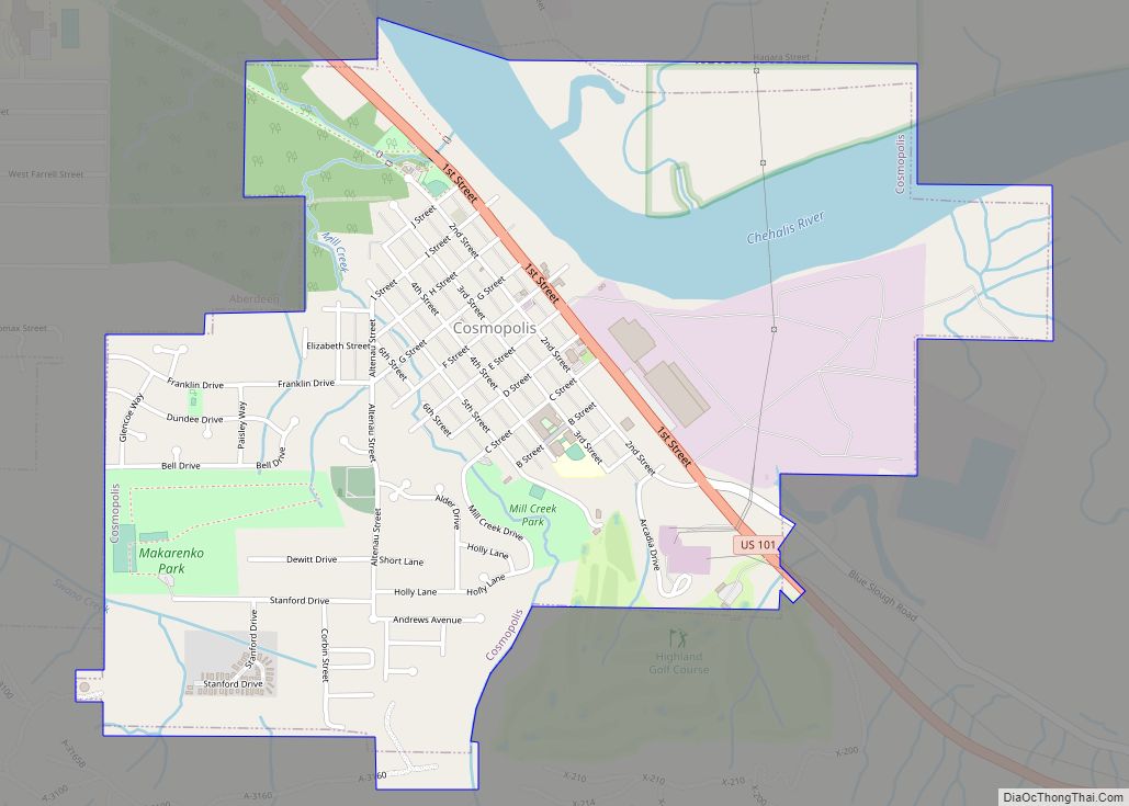
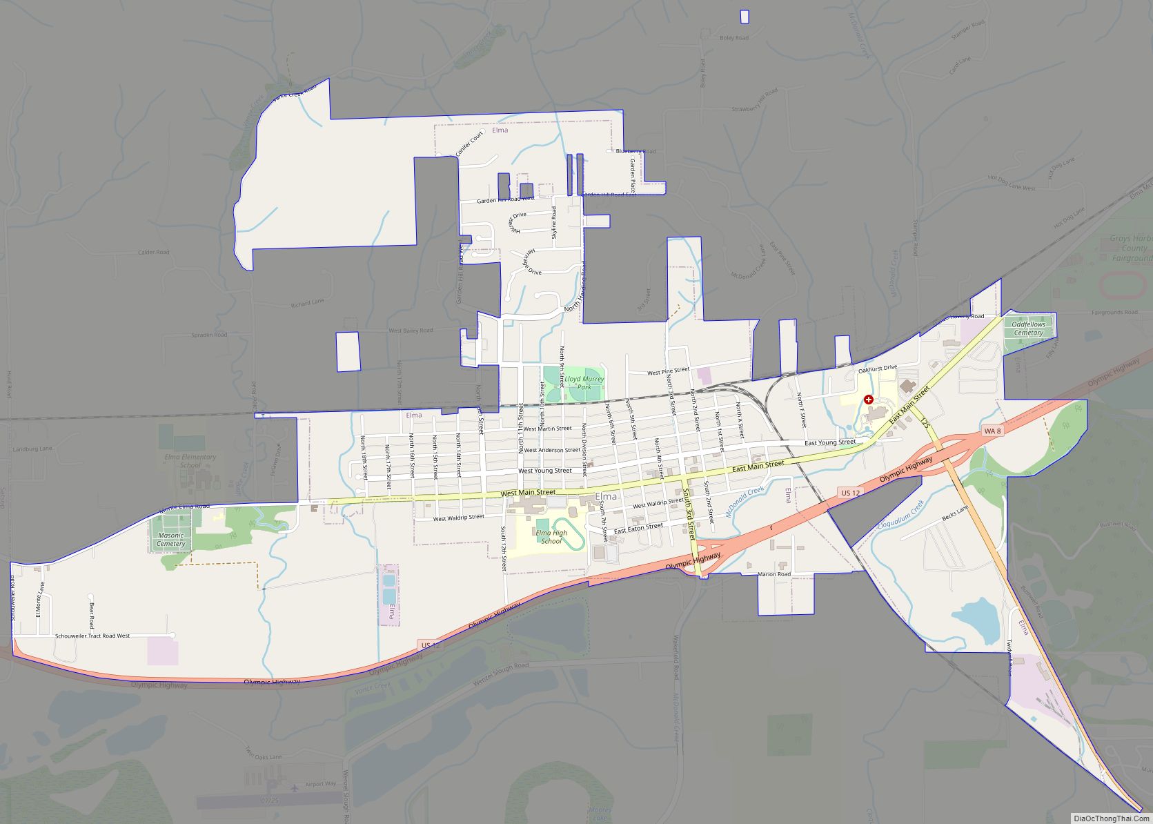
Oakville Road Map
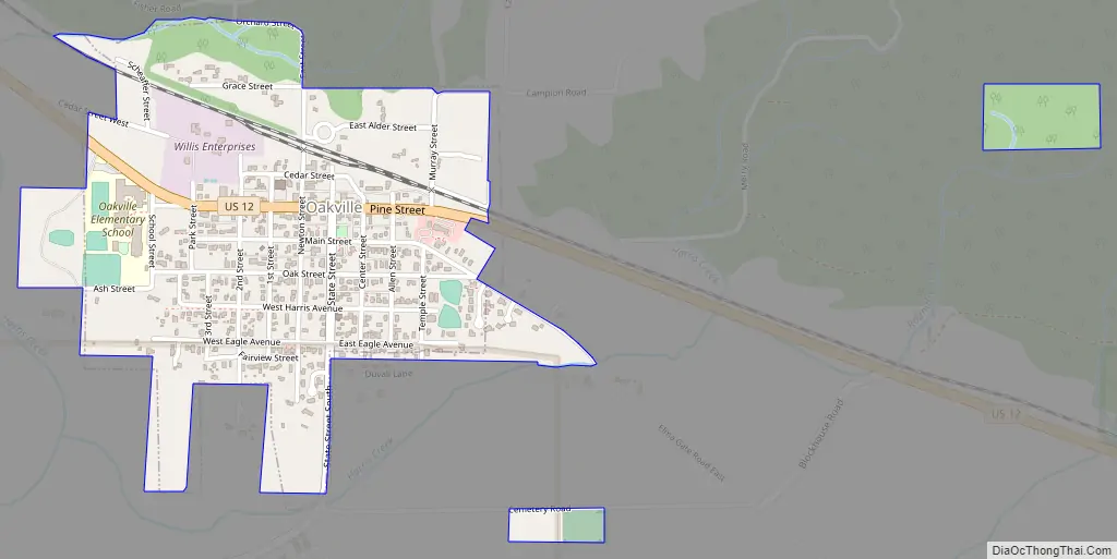
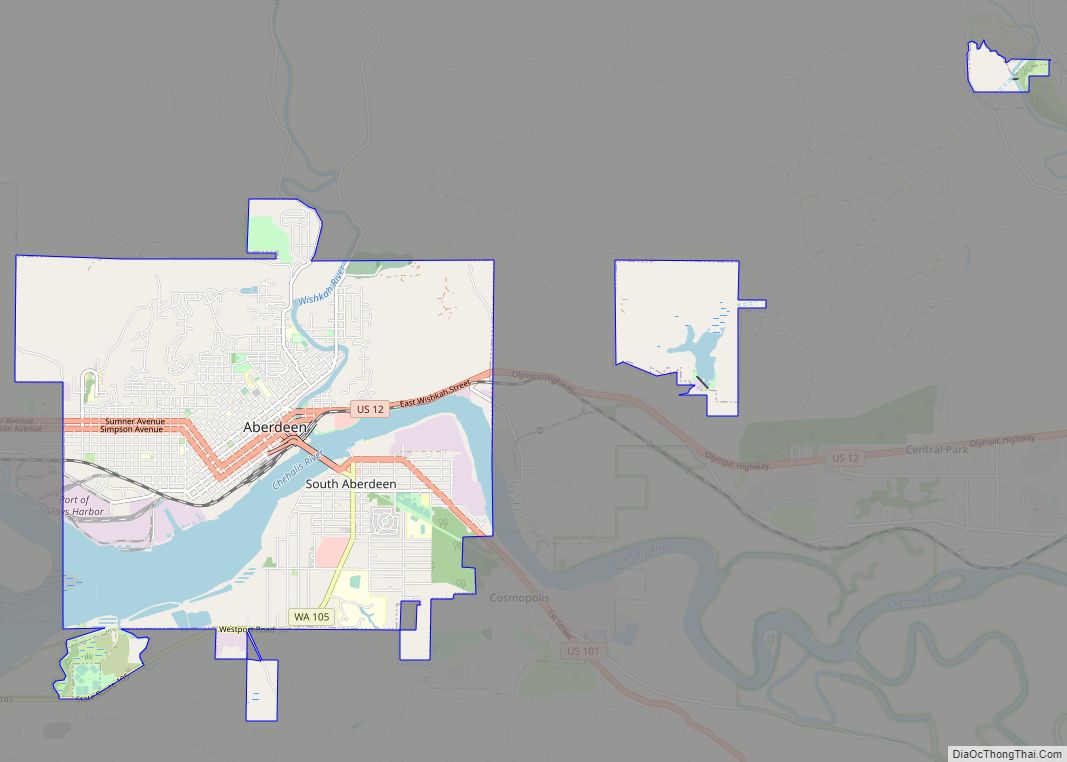
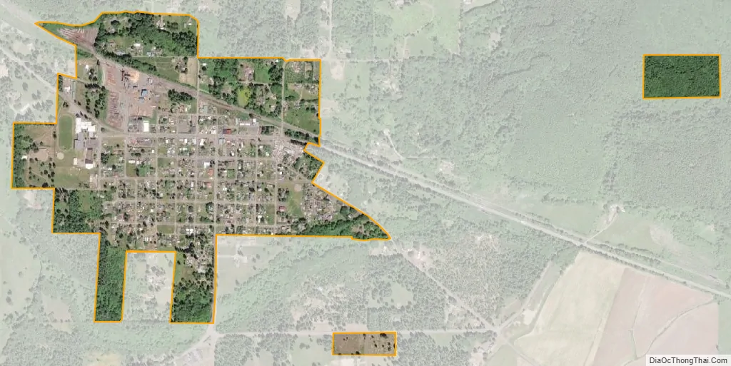
Oakville city Satellite Map
Geography
According to the United States Census Bureau, the city has a total area of 0.50 square miles (1.29 km), all of it land.
Oakville is on the northern shore of the Chehalis River, just downstream from the convergence of the Chehalis and Black Rivers. This is an area subject to annual flooding, with major floods occurring most recently in 2007 and 1996. Both of these floods were federally declared disasters due to the extensive damage to human life, livestock, and property in the region. In 2016, the Chehalis River Basin Flood Authority authorized $55,000 to be used to collect data, geography, and history on the flooding in the city, which reports indicated to be affecting approximately 35 homes and causing on average three road closures per event, with this flooding occurring typically twice a year.
To its north, Oakville is bordered by the hills of the Capitol State Forest. The area is filled with hills, valleys, rivers, and dense forests.
Climate
According to the Köppen Climate Classification system, Oakville has a warm-summer Mediterranean climate, abbreviated “Csb” on climate maps.
See also
Map of Washington State and its subdivision:- Adams
- Asotin
- Benton
- Chelan
- Clallam
- Clark
- Columbia
- Cowlitz
- Douglas
- Ferry
- Franklin
- Garfield
- Grant
- Grays Harbor
- Island
- Jefferson
- King
- Kitsap
- Kittitas
- Klickitat
- Lewis
- Lincoln
- Mason
- Okanogan
- Pacific
- Pend Oreille
- Pierce
- San Juan
- Skagit
- Skamania
- Snohomish
- Spokane
- Stevens
- Thurston
- Wahkiakum
- Walla Walla
- Whatcom
- Whitman
- Yakima
- Alabama
- Alaska
- Arizona
- Arkansas
- California
- Colorado
- Connecticut
- Delaware
- District of Columbia
- Florida
- Georgia
- Hawaii
- Idaho
- Illinois
- Indiana
- Iowa
- Kansas
- Kentucky
- Louisiana
- Maine
- Maryland
- Massachusetts
- Michigan
- Minnesota
- Mississippi
- Missouri
- Montana
- Nebraska
- Nevada
- New Hampshire
- New Jersey
- New Mexico
- New York
- North Carolina
- North Dakota
- Ohio
- Oklahoma
- Oregon
- Pennsylvania
- Rhode Island
- South Carolina
- South Dakota
- Tennessee
- Texas
- Utah
- Vermont
- Virginia
- Washington
- West Virginia
- Wisconsin
- Wyoming