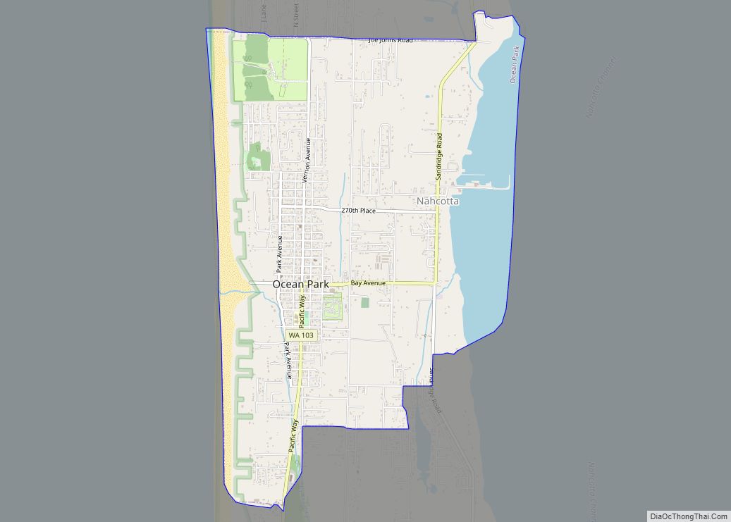
Ocean Park is a census-designated place (CDP) in Pacific County, Washington, United States. The population was 1,573 at the 2010 census. It is on the Long Beach Peninsula, north of Long Beach, Washington.
| Name: | Ocean Park CDP |
|---|---|
| LSAD Code: | 57 |
| LSAD Description: | CDP (suffix) |
| State: | Washington |
| County: | Pacific County |
| Elevation: | 39 ft (12 m) |
| Total Area: | 3.9 sq mi (10.0 km²) |
| Land Area: | 3.0 sq mi (7.9 km²) |
| Water Area: | 0.8 sq mi (2.2 km²) |
| Total Population: | 1,573 |
| Population Density: | 524.3/sq mi (185.4/km²) |
| ZIP code: | 98640 |
| Area code: | 360 |
| FIPS code: | 5350535 |
| GNISfeature ID: | 1512524 |
Online Interactive Map
Click on ![]() to view map in "full screen" mode.
to view map in "full screen" mode.
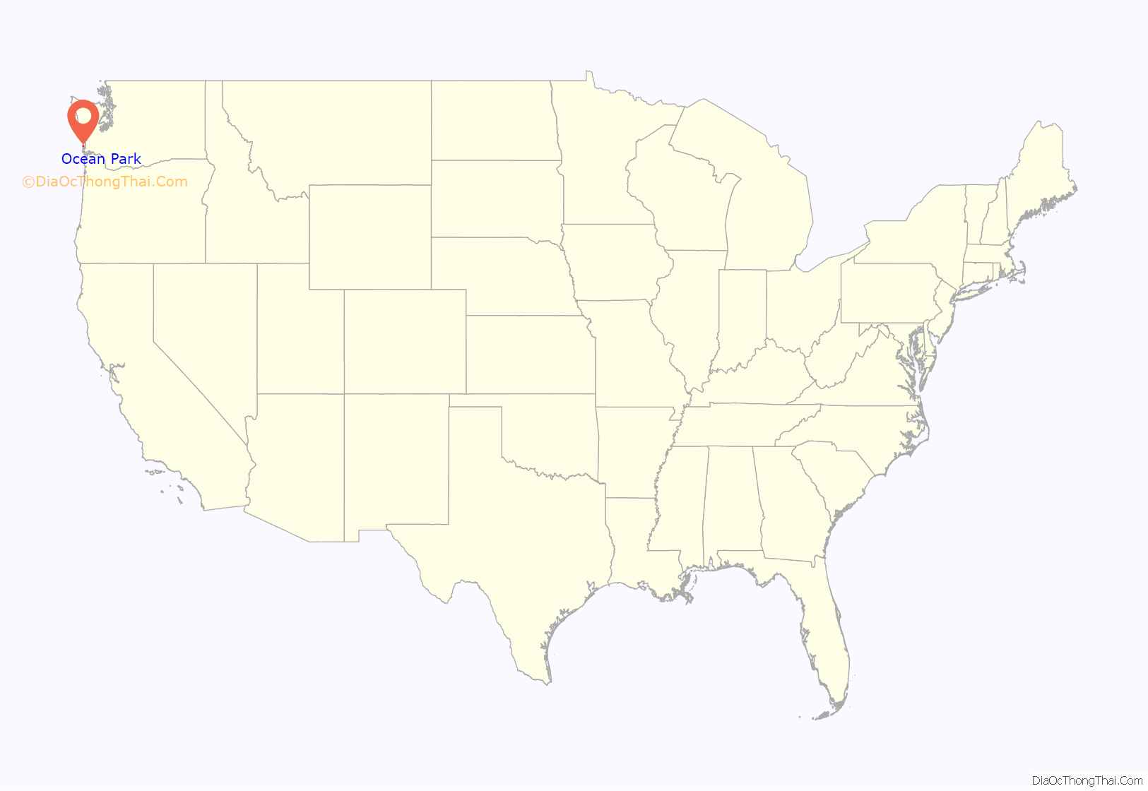
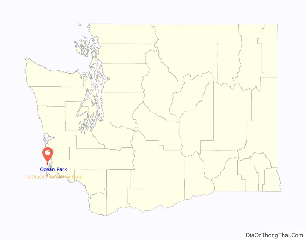
Ocean Park location map. Where is Ocean Park CDP?
History
Ocean Park was once a station on the Ilwaco Railway and Navigation Company, a narrow gauge railroad that ran along the Long Beach Peninsula from 1889 to 1930. One of the oldest buildings in Pacific County is the Taylor Hotel building, built in 1887, currently in use as Adelaide’s Cafe and Bookstore named after Adelaide Taylor, the wife of the original hotel owner. The oldest building in Ocean Park is the Lamberson Cabin, built in 1883 by Buell Lamberson. The cabin has been kept in private family ownership through the generations for the use of Lamberson descendants.
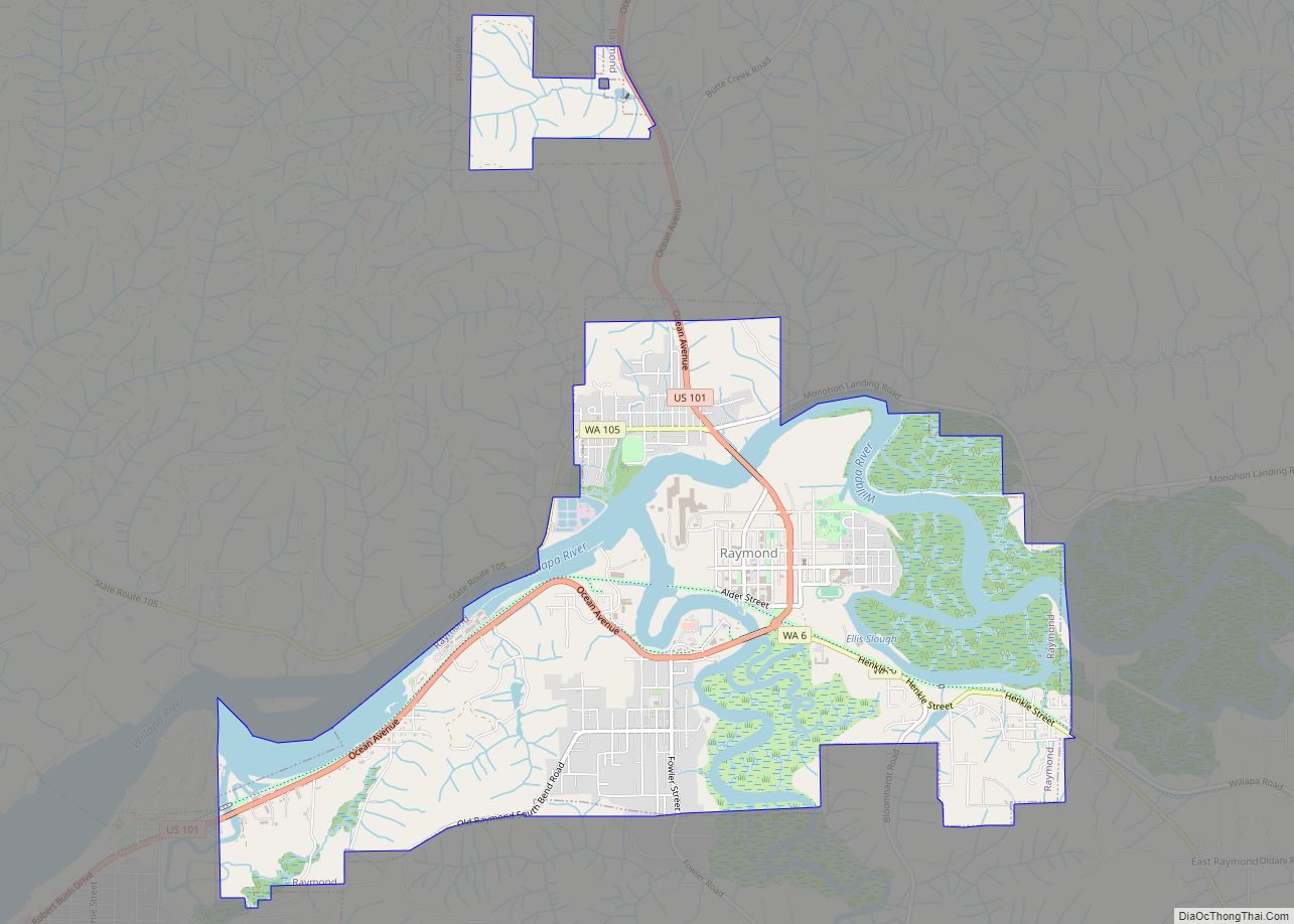
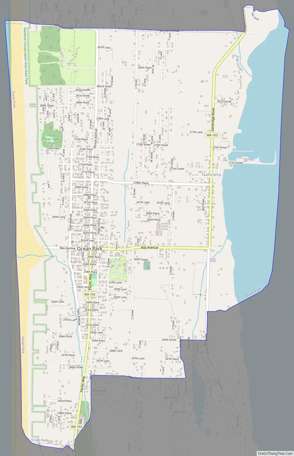
Ocean Park Road Map
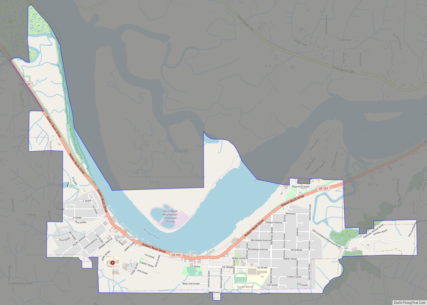
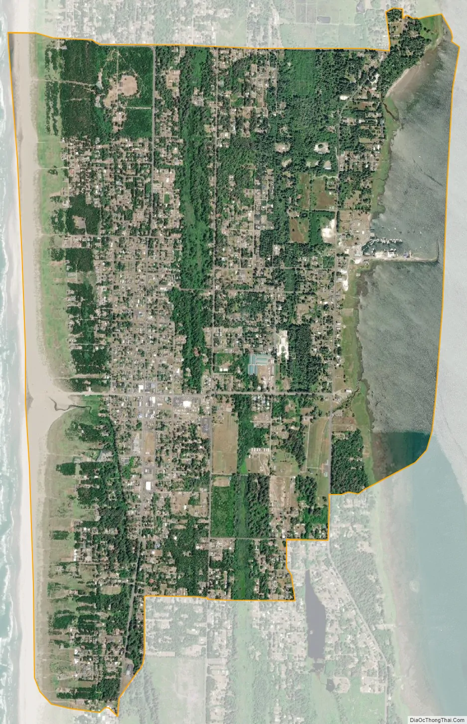
Ocean Park city Satellite Map
Geography
Ocean Park is found at 46°29′38″N 124°2′53″W / 46.49389°N 124.04806°W / 46.49389; -124.04806 (46.493908, -124.047921). It is on the Long Beach Peninsula and adjacent to Pacific Pines State Park.
According to the United States Census Bureau, the CDP has a total area of 3.9 square miles (10.0 km), of which, 3.0 square miles (7.9 km) of it is land and 0.8 square miles (2.1 km) of it (21.45%) is water.
See also
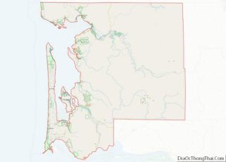
Map of Washington State and its subdivision:- Adams
- Asotin
- Benton
- Chelan
- Clallam
- Clark
- Columbia
- Cowlitz
- Douglas
- Ferry
- Franklin
- Garfield
- Grant
- Grays Harbor
- Island
- Jefferson
- King
- Kitsap
- Kittitas
- Klickitat
- Lewis
- Lincoln
- Mason
- Okanogan
- Pacific
- Pend Oreille
- Pierce
- San Juan
- Skagit
- Skamania
- Snohomish
- Spokane
- Stevens
- Thurston
- Wahkiakum
- Walla Walla
- Whatcom
- Whitman
- Yakima
- Alabama
- Alaska
- Arizona
- Arkansas
- California
- Colorado
- Connecticut
- Delaware
- District of Columbia
- Florida
- Georgia
- Hawaii
- Idaho
- Illinois
- Indiana
- Iowa
- Kansas
- Kentucky
- Louisiana
- Maine
- Maryland
- Massachusetts
- Michigan
- Minnesota
- Mississippi
- Missouri
- Montana
- Nebraska
- Nevada
- New Hampshire
- New Jersey
- New Mexico
- New York
- North Carolina
- North Dakota
- Ohio
- Oklahoma
- Oregon
- Pennsylvania
- Rhode Island
- South Carolina
- South Dakota
- Tennessee
- Texas
- Utah
- Vermont
- Virginia
- Washington
- West Virginia
- Wisconsin
- Wyoming