Packwood is an unincorporated community and census-designated place (CDP) located in easternmost Lewis County, Washington, in the United States. As of the 2020 census, the CDP had a population of 319, while the town and surrounding Packwood community (east of Cora Bridge) had a total population of 1,277.
Packwood was originally established as Sulphur Springs. Shortly thereafter, it was renamed to Lewis, in honor of Meriweather Lewis, but was finally renamed to Packwood, in honor of William Packwood due to the US Postal Service confusing the town with Fort Lewis.
| Name: | Packwood CDP |
|---|---|
| LSAD Code: | 57 |
| LSAD Description: | CDP (suffix) |
| State: | Washington |
| County: | Lewis County |
| Elevation: | 1,053 ft (321 m) |
| Total Area: | 1.00 sq mi (2.58 km²) |
| Land Area: | 1.00 sq mi (2.58 km²) |
| Water Area: | 0.0 sq mi (0.0 km²) |
| Total Population: | 319 |
| Population Density: | 343/sq mi (132.4/km²) |
| ZIP code: | 98361 |
| Area code: | 360 |
| FIPS code: | 5352600 |
| GNISfeature ID: | 1524132 |
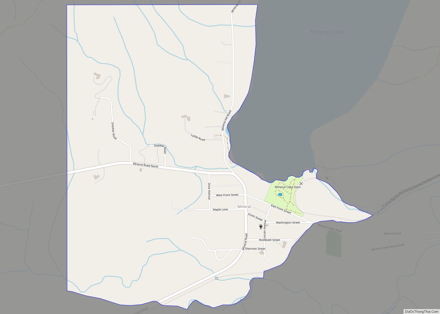
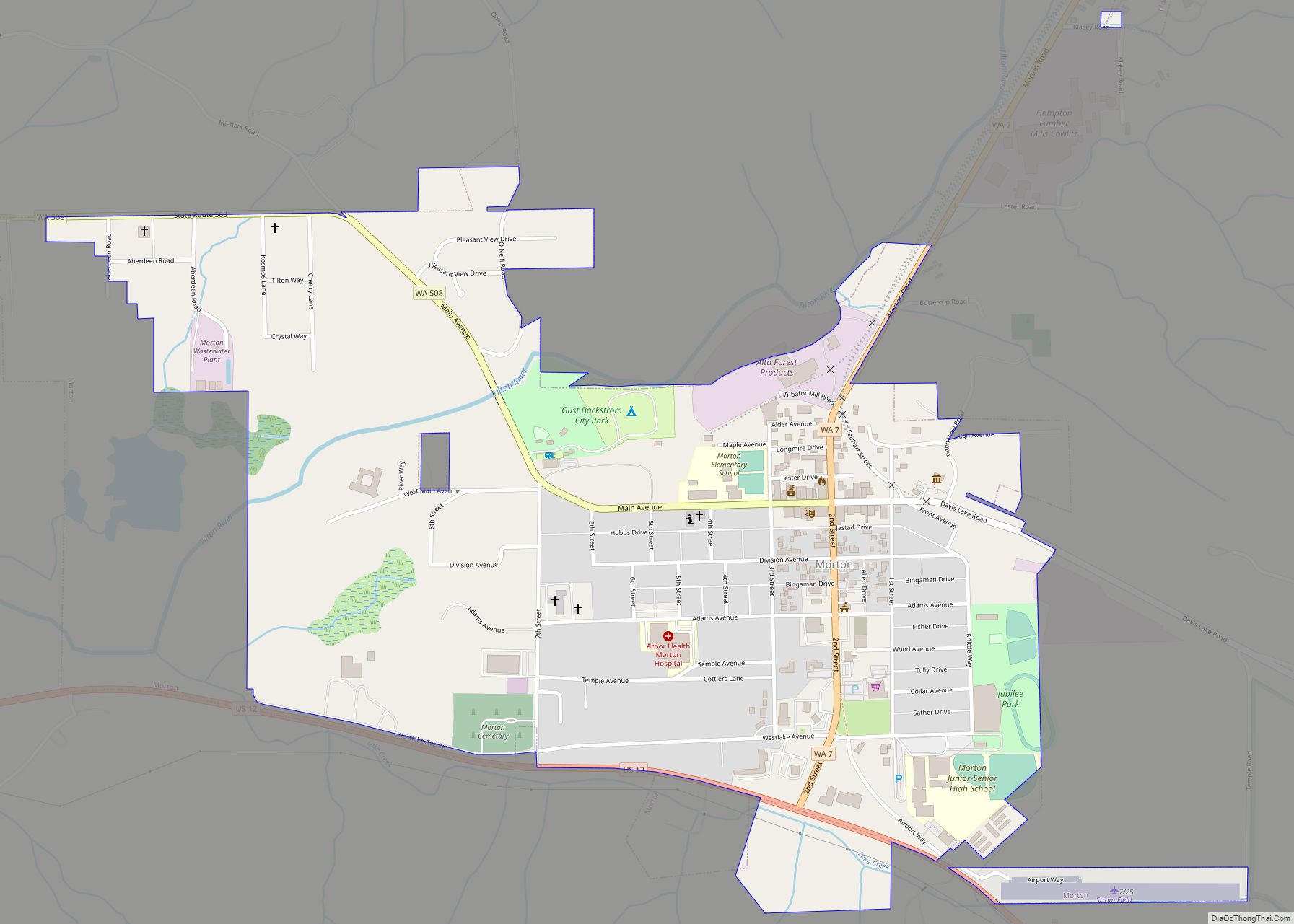
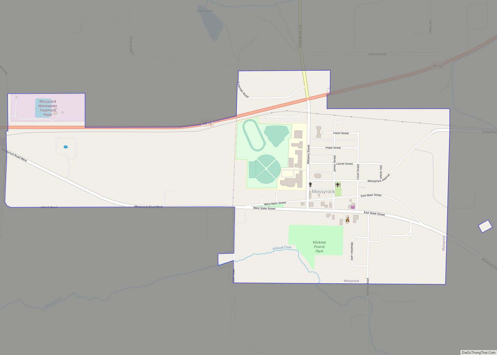
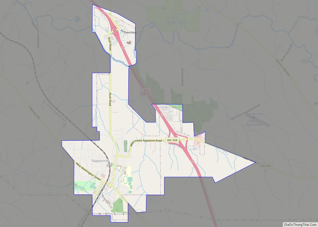
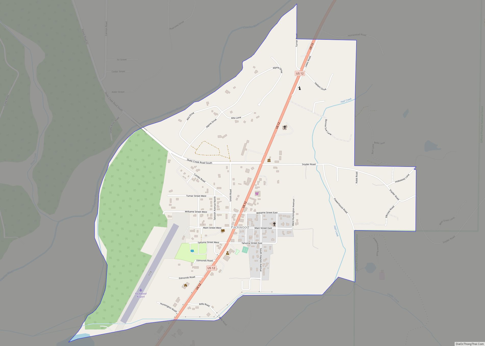
Online Interactive Map
Click on ![]() to view map in "full screen" mode.
to view map in "full screen" mode.
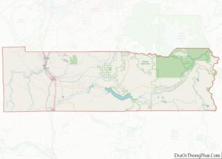
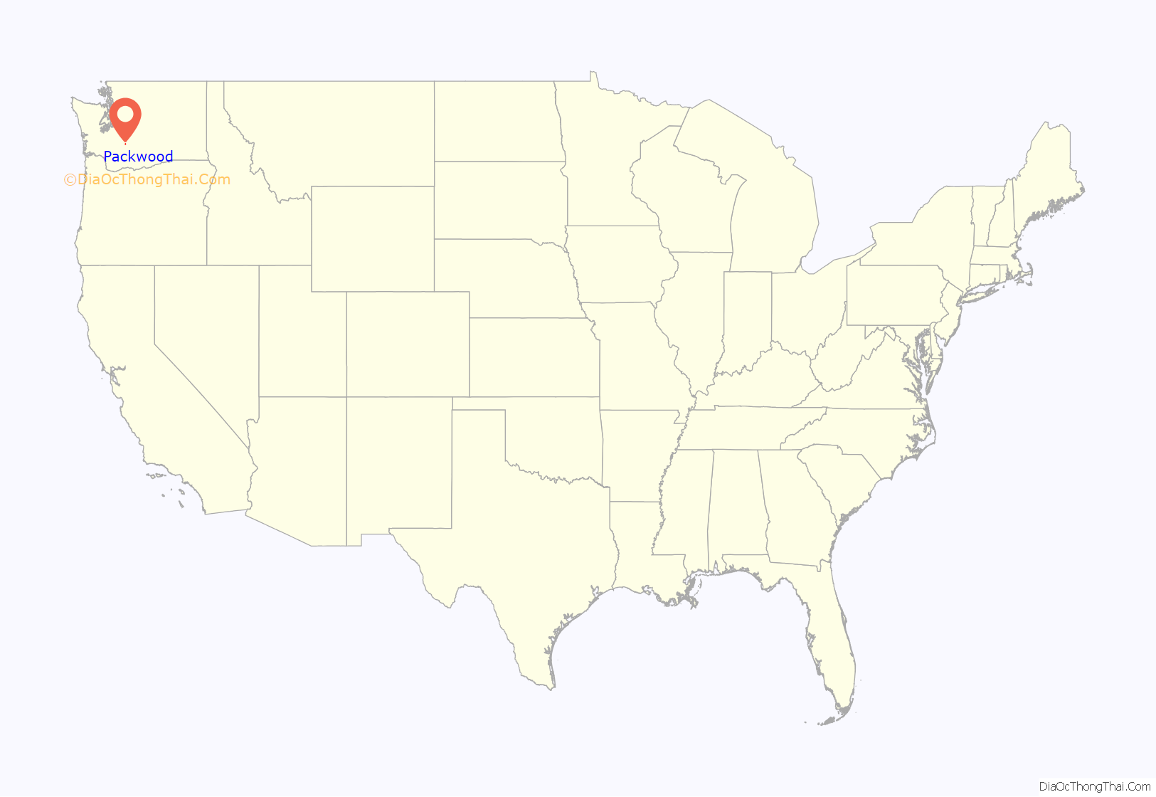
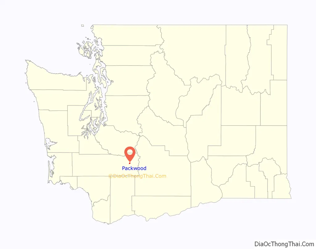
Packwood location map. Where is Packwood CDP?
History
The name “Packwood”, used for the town, a mountain pass, and a lake, honors William Packwood, a Virginian pioneer and explorer of Oregon and Washington. Packwood and James Longmire were tasked by the Washington Territorial Legislature to chart a low pass over the Cascade Range, this necessitated by the deaths of several delegates in their journey to the first legislative session. As a mark of their successes in this venture, the charted pass – called the Packwood Saddle – is still unused by any road, trail, or other conveyance to pass between the east and west sides of the Cascades.
Packwood Road Map

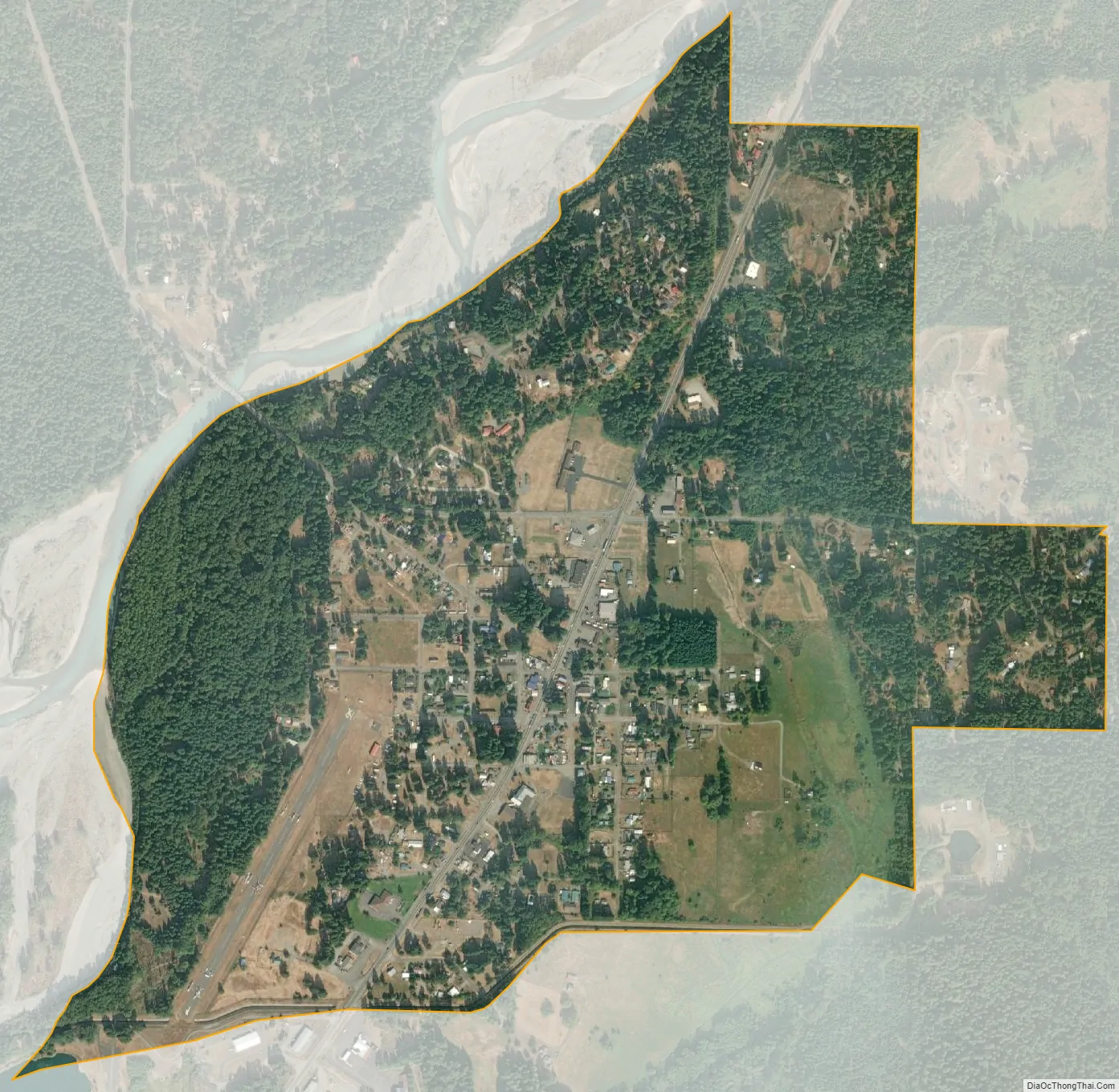
Packwood city Satellite Map
Geography
Packwood is located at 46°36′14″N 121°40′40″W / 46.60389°N 121.67778°W / 46.60389; -121.67778 (46.6040008, -121.6778664), at the intersection of US Highway 12 and Gifford Pinchot National Forest Road 52 (Skate Creek Road). It is located between Mount Rainier National Park to the north and Mt. St. Helens National Volcanic Monument to the south. The Tatoosh Wilderness, Goat Rocks Wilderness, and William O. Douglas Wilderness are to the north, southeast, and northeast respectively, with the Gifford Pinchot National Forest as a buffer in all directions. Packwood is located in the upper Cowlitz River valley, just downstream of the confluence of the Muddy and Clear forks of the Cowlitz. The White Pass Ski Area and crest of the Cascade Range demark the eastern edge of the Packwood area, the town of Randle the west, and large expanses of forest, wilderness, and parkland the north and south.
According to the U.S. Census Bureau, the Packwood CDP has an area of 1.0 square mile (2.6 km), all of it recorded as land. Surrounding lands, including the residential communities of High Valley and Timberline, contribute to an approximate population of 1,330 for the greater Packwood area.
Climate
According to the Köppen Climate Classification system, Packwood has a warm-summer Mediterranean climate, abbreviated “Csb” on climate maps.
See also
Map of Washington State and its subdivision:- Adams
- Asotin
- Benton
- Chelan
- Clallam
- Clark
- Columbia
- Cowlitz
- Douglas
- Ferry
- Franklin
- Garfield
- Grant
- Grays Harbor
- Island
- Jefferson
- King
- Kitsap
- Kittitas
- Klickitat
- Lewis
- Lincoln
- Mason
- Okanogan
- Pacific
- Pend Oreille
- Pierce
- San Juan
- Skagit
- Skamania
- Snohomish
- Spokane
- Stevens
- Thurston
- Wahkiakum
- Walla Walla
- Whatcom
- Whitman
- Yakima
- Alabama
- Alaska
- Arizona
- Arkansas
- California
- Colorado
- Connecticut
- Delaware
- District of Columbia
- Florida
- Georgia
- Hawaii
- Idaho
- Illinois
- Indiana
- Iowa
- Kansas
- Kentucky
- Louisiana
- Maine
- Maryland
- Massachusetts
- Michigan
- Minnesota
- Mississippi
- Missouri
- Montana
- Nebraska
- Nevada
- New Hampshire
- New Jersey
- New Mexico
- New York
- North Carolina
- North Dakota
- Ohio
- Oklahoma
- Oregon
- Pennsylvania
- Rhode Island
- South Carolina
- South Dakota
- Tennessee
- Texas
- Utah
- Vermont
- Virginia
- Washington
- West Virginia
- Wisconsin
- Wyoming