Parkland is a census-designated place (CDP) in Pierce County, Washington. The population was 35,803 at the time of the 2010 census and had grown to 38,623 as of the 2020 census. It is an unincorporated suburb of the city of Tacoma and is home to Pacific Lutheran University.
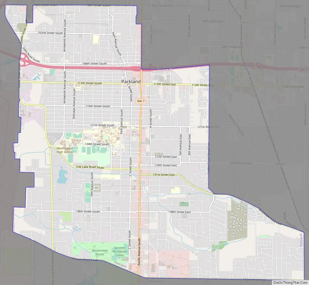
Parkland borders most of Tacoma’s southern cutoff at 96th St, and borders with much of the northern cutoff of Spanaway, Washington, at 152nd St (or Military Rd E).
The most influential motorway is State Route 7/Pacific Ave, which travels north and south, and leads from Interstate 5 in Tacoma all the way to Mount Rainier. Pacific Ave is also a main commercial corridor through much of the county, including Parkland.
It was given its name by early white settlers for the park-like nature of the vast Garry Oak and blue camas flower prairie, and the many meandering creeks crossing it. In 1890, Norwegian-Americans from the Midwest chose this area as the site of their new college, which is now Pacific Lutheran University, home to 3,500 full-time students and the Lutes varsity sports teams.
| Name: | Parkland CDP |
|---|---|
| LSAD Code: | 57 |
| LSAD Description: | CDP (suffix) |
| State: | Washington |
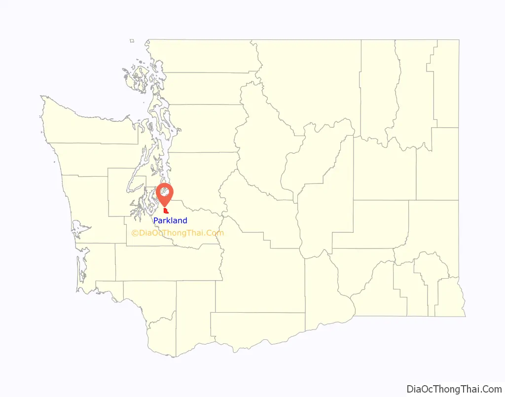
| County: | Pierce County |
| Elevation: | 377 ft (115 m) |
| Total Area: | 7.4 sq mi (19.1 km²) |
| Land Area: | 7.4 sq mi (19.1 km²) |
| Water Area: | 0.0 sq mi (0.1 km²) |
| Total Population: | 38,623 |
| Population Density: | 5,200/sq mi (2,000/km²) |
| ZIP code: | 98444-98446 |
| Area code: | 253 |
| FIPS code: | 5353335 |
| GNISfeature ID: | 1512548 |
Online Interactive Map
Click on ![]() to view map in "full screen" mode.
to view map in "full screen" mode.
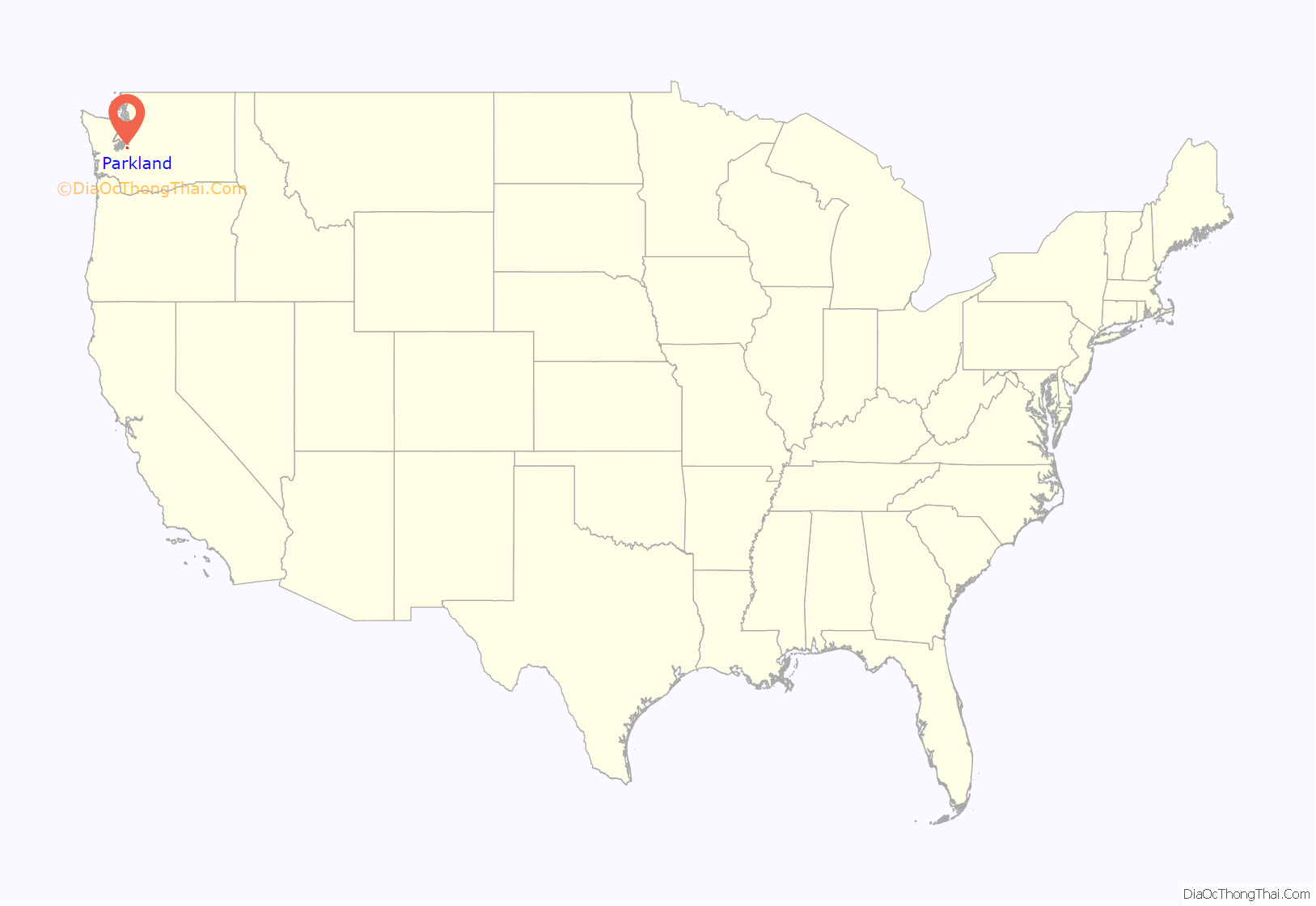
Parkland location map. Where is Parkland CDP?
Parkland Road Map
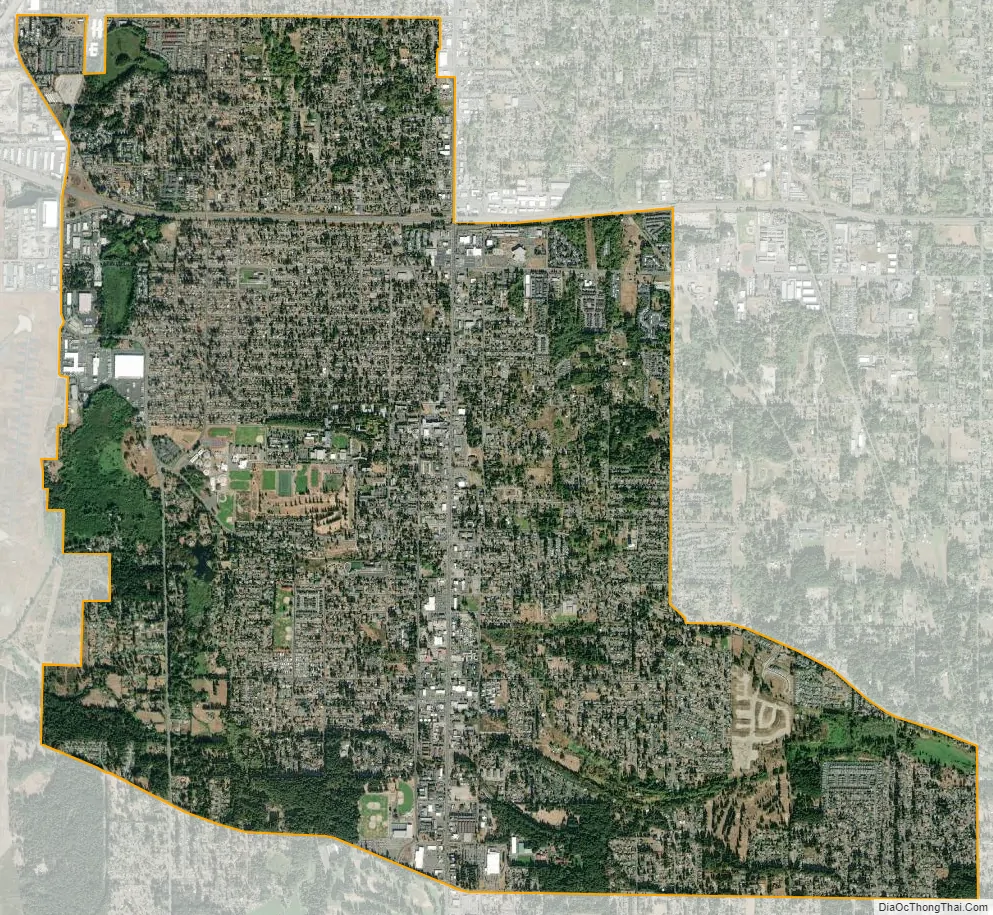
Parkland city Satellite Map
Geography
Parkland is located at 47°8′28″N 122°26′16″W / 47.14111°N 122.43778°W / 47.14111; -122.43778 (47.141221, -122.437746).
According to the United States Census Bureau, the CDP has a total area of 7.4 square miles (19.1 km), of which, 7.4 square miles (19.1 km) of it is land and 0.04 square miles (0.1 km) of it (0.41%) is water.
See also
Map of Washington State and its subdivision:- Adams
- Asotin
- Benton
- Chelan
- Clallam
- Clark
- Columbia
- Cowlitz
- Douglas
- Ferry
- Franklin
- Garfield
- Grant
- Grays Harbor
- Island
- Jefferson
- King
- Kitsap
- Kittitas
- Klickitat
- Lewis
- Lincoln
- Mason
- Okanogan
- Pacific
- Pend Oreille
- Pierce
- San Juan
- Skagit
- Skamania
- Snohomish
- Spokane
- Stevens
- Thurston
- Wahkiakum
- Walla Walla
- Whatcom
- Whitman
- Yakima
- Alabama
- Alaska
- Arizona
- Arkansas
- California
- Colorado
- Connecticut
- Delaware
- District of Columbia
- Florida
- Georgia
- Hawaii
- Idaho
- Illinois
- Indiana
- Iowa
- Kansas
- Kentucky
- Louisiana
- Maine
- Maryland
- Massachusetts
- Michigan
- Minnesota
- Mississippi
- Missouri
- Montana
- Nebraska
- Nevada
- New Hampshire
- New Jersey
- New Mexico
- New York
- North Carolina
- North Dakota
- Ohio
- Oklahoma
- Oregon
- Pennsylvania
- Rhode Island
- South Carolina
- South Dakota
- Tennessee
- Texas
- Utah
- Vermont
- Virginia
- Washington
- West Virginia
- Wisconsin
- Wyoming


