Ravensdale is a census-designated place (CDP) in King County, Washington, United States. The population was 555 at the 2020 census.
Based on per capita income, Ravensdale ranks 50th out of 522 areas in the state of Washington.
| Name: | Ravensdale CDP |
|---|---|
| LSAD Code: | 57 |
| LSAD Description: | CDP (suffix) |
| State: | Washington |
| County: | King County |
| Elevation: | 623 ft (190 m) |
| Total Area: | 4.56 sq mi (11.82 km²) |
| Land Area: | 4.45 sq mi (11.52 km²) |
| Water Area: | 0.12 sq mi (0.30 km²) |
| Total Population: | 555 |
| Population Density: | 247/sq mi (95.5/km²) |
| ZIP code: | 98051 |
| Area code: | 425 |
| FIPS code: | 5357395 |
| GNISfeature ID: | 1524908 |
Online Interactive Map
Click on ![]() to view map in "full screen" mode.
to view map in "full screen" mode.
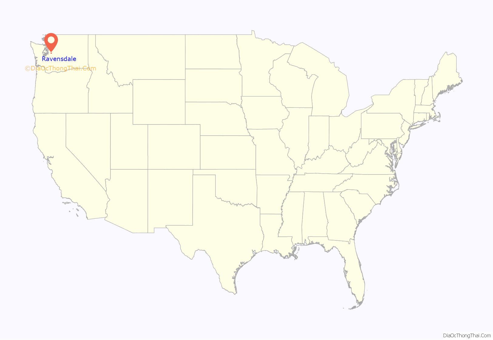
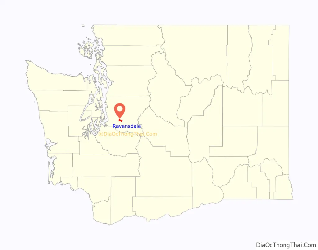
Ravensdale location map. Where is Ravensdale CDP?
History
Ravensdale was originally called “Leary”, after the Leary Coal Company, in turn, named for John Leary, a Seattle pioneer. The latter name came from the flocks of ravens that fed on grain spilled from the boxcars on the Northern Pacific Railroad tracks that ran through the town. Underground coal mining commenced around 1899 by the Seattle and San Francisco Railway and Navigation Company, although coal had been mined in nearby Danville and Landsburg a few years earlier. The coal mines were later acquired by the Northwest Improvement Company (NWI), a subsidiary of Northern Pacific. In 1907, Ravensdale was a coal mining town with a population of about 1,000 residents, most of whom worked for the mining company. Ravensdale was officially incorporated on August 15, 1913. On November 16, 1915, at 1:25 p.m. an explosion occurred at the mine, killing 31 men, one of the worst coal mining accidents in Washington state history. The NWI mine was closed permanently and many of the immigrant miners left town seeking work elsewhere. A number of coal miners from Ravensdale moved to Ray, Arizona, to mine copper. The town was disincorporated in the 1920s.
Over the decades, coal mining continued to fuel Ravensdale’s economy as new mines were developed operating on the Danville, Landsburg, and McKay coal seams. The Dale Coal Company became one of the more successful from about 1924–1941, followed by the Continental Coal Company from 1942 to 1944, the Anderson Coal Company from 1943 to 1948; and Palmer Coking Coal Company from 1937 to 1975. On January 29, 1955, four miners were lost in the Landsburg mine when a cave-in filled the mine with water, mud and debris. On December 17, 1975, at 2:30 p.m., the Rogers No. 3 mine was dynamited shut by Palmer Coking Coal Company. This was the last underground coal mine in the state of Washington.
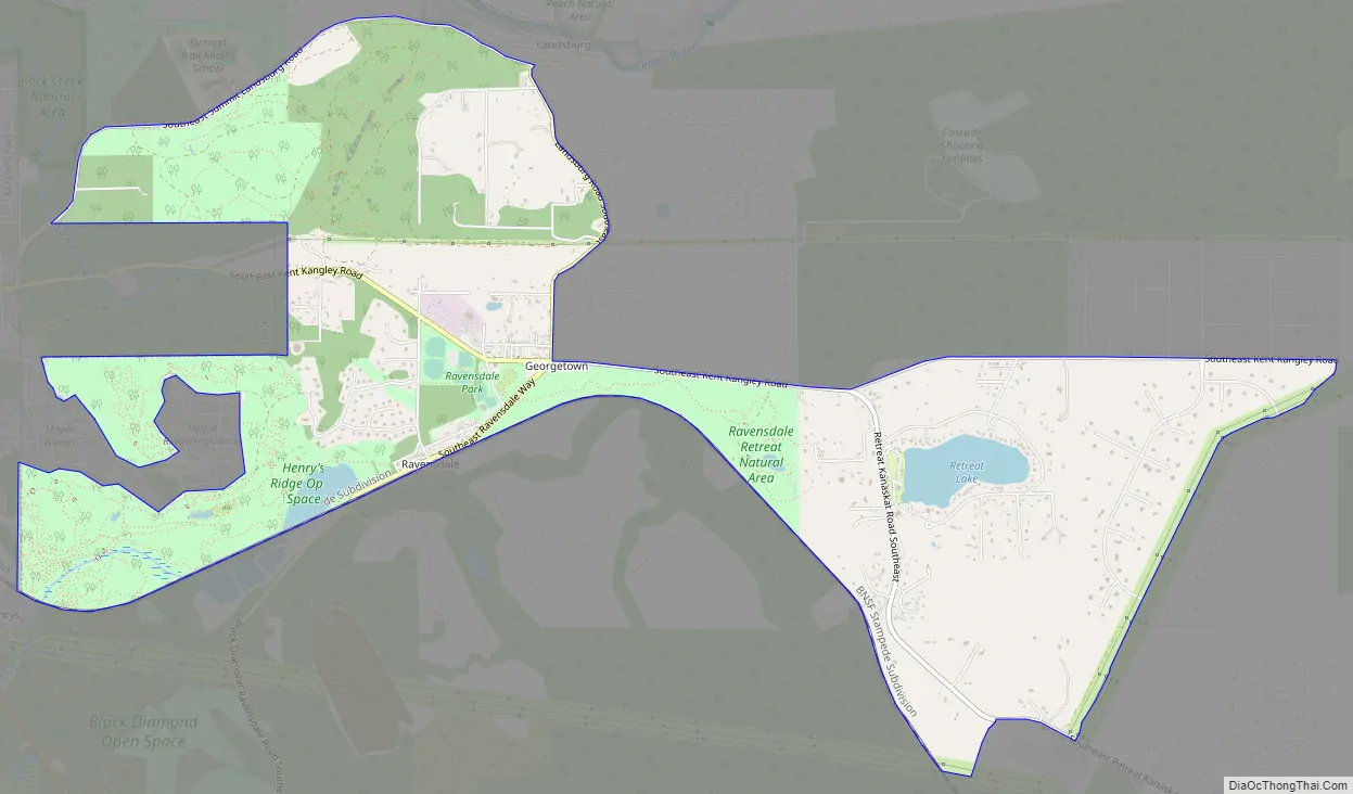
Ravensdale Road Map
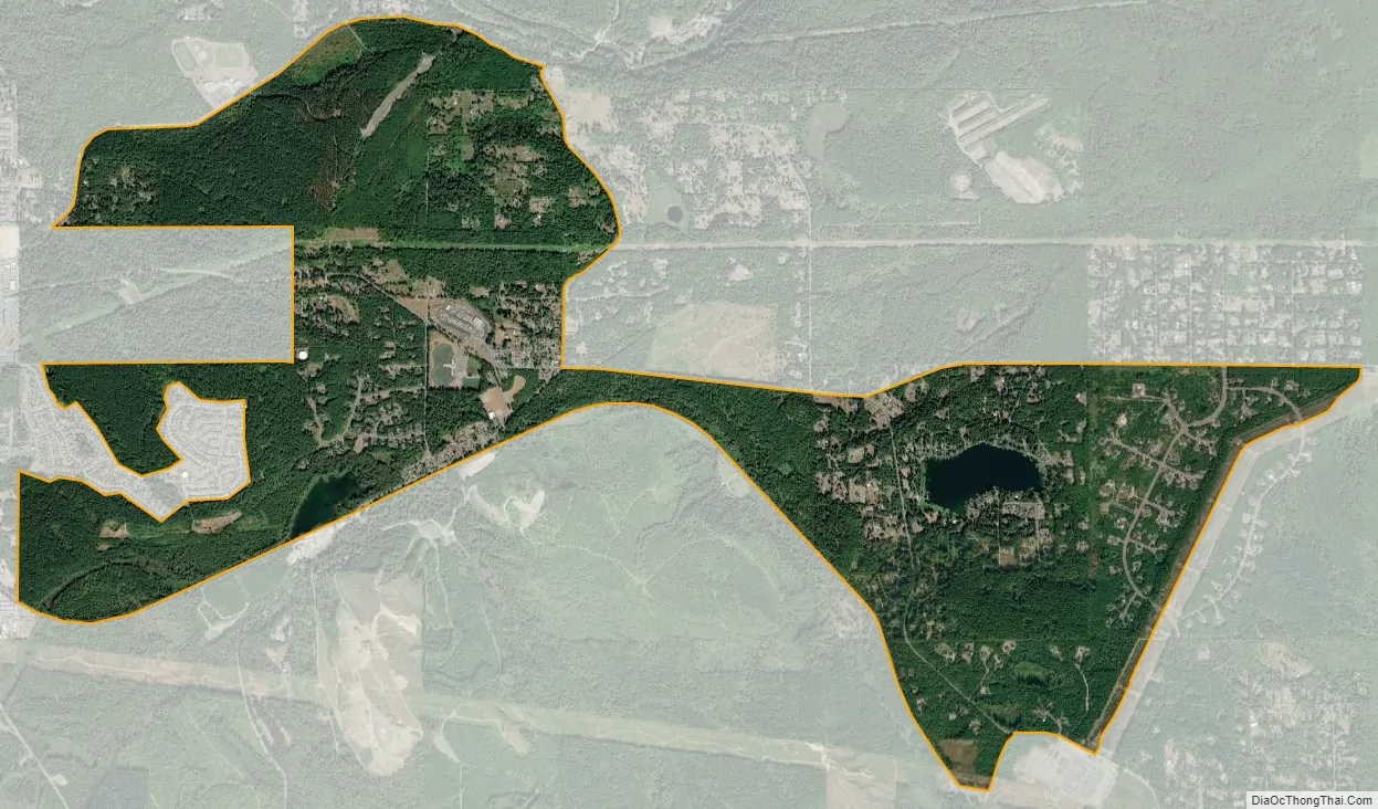
Ravensdale city Satellite Map
Geography
Ravensdale is located in southern King County at 47°21′24″N 121°58′39″W / 47.35667°N 121.97750°W / 47.35667; -121.97750. It is bordered to the west by the city of Maple Valley. Ravensdale is 28 miles (45 km) southeast of downtown Seattle and the same distance northeast of Tacoma. It is situated at an elevation of 623 feet (190 m).
According to the United States Census Bureau, the Ravensdale CDP has a total area of 4.6 square miles (11.8 km), of which 4.4 square miles (11.3 km) are land and 0.1 square miles (0.3 km), or 2.51%, are water.
Climate
The region experiences warm (but not hot) and dry summers, with no average monthly temperatures above 71.6 °F. According to the Köppen Climate Classification system, Ravensdale has a warm-summer Mediterranean climate, abbreviated “Csb” on climate maps.
See also
Map of Washington State and its subdivision:- Adams
- Asotin
- Benton
- Chelan
- Clallam
- Clark
- Columbia
- Cowlitz
- Douglas
- Ferry
- Franklin
- Garfield
- Grant
- Grays Harbor
- Island
- Jefferson
- King
- Kitsap
- Kittitas
- Klickitat
- Lewis
- Lincoln
- Mason
- Okanogan
- Pacific
- Pend Oreille
- Pierce
- San Juan
- Skagit
- Skamania
- Snohomish
- Spokane
- Stevens
- Thurston
- Wahkiakum
- Walla Walla
- Whatcom
- Whitman
- Yakima
- Alabama
- Alaska
- Arizona
- Arkansas
- California
- Colorado
- Connecticut
- Delaware
- District of Columbia
- Florida
- Georgia
- Hawaii
- Idaho
- Illinois
- Indiana
- Iowa
- Kansas
- Kentucky
- Louisiana
- Maine
- Maryland
- Massachusetts
- Michigan
- Minnesota
- Mississippi
- Missouri
- Montana
- Nebraska
- Nevada
- New Hampshire
- New Jersey
- New Mexico
- New York
- North Carolina
- North Dakota
- Ohio
- Oklahoma
- Oregon
- Pennsylvania
- Rhode Island
- South Carolina
- South Dakota
- Tennessee
- Texas
- Utah
- Vermont
- Virginia
- Washington
- West Virginia
- Wisconsin
- Wyoming


