Roosevelt is an unincorporated community and census-designated place (CDP) in Klickitat County, Washington, United States. The population was 156 at the 2010 census, up from 79 at the 2000 census. The Roosevelt Regional Landfill, one of the largest landfills in the United States, is located at Roosevelt.
The community was named after President Theodore Roosevelt.
| Name: | Roosevelt CDP |
|---|---|
| LSAD Code: | 57 |
| LSAD Description: | CDP (suffix) |
| State: | Washington |
| County: | Klickitat County |
| Elevation: | 364 ft (111 m) |
| Total Area: | 3.79 sq mi (9.81 km²) |
| Land Area: | 3.79 sq mi (9.81 km²) |
| Water Area: | 0.0 sq mi (0.0 km²) |
| Total Population: | 156 |
| Population Density: | 41/sq mi (15.9/km²) |
| ZIP code: | 99356 |
| Area code: | 509 |
| FIPS code: | 5359705 |
| GNISfeature ID: | 1513196 |
Online Interactive Map
Click on ![]() to view map in "full screen" mode.
to view map in "full screen" mode.
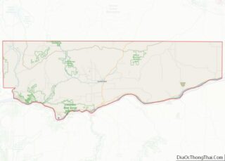
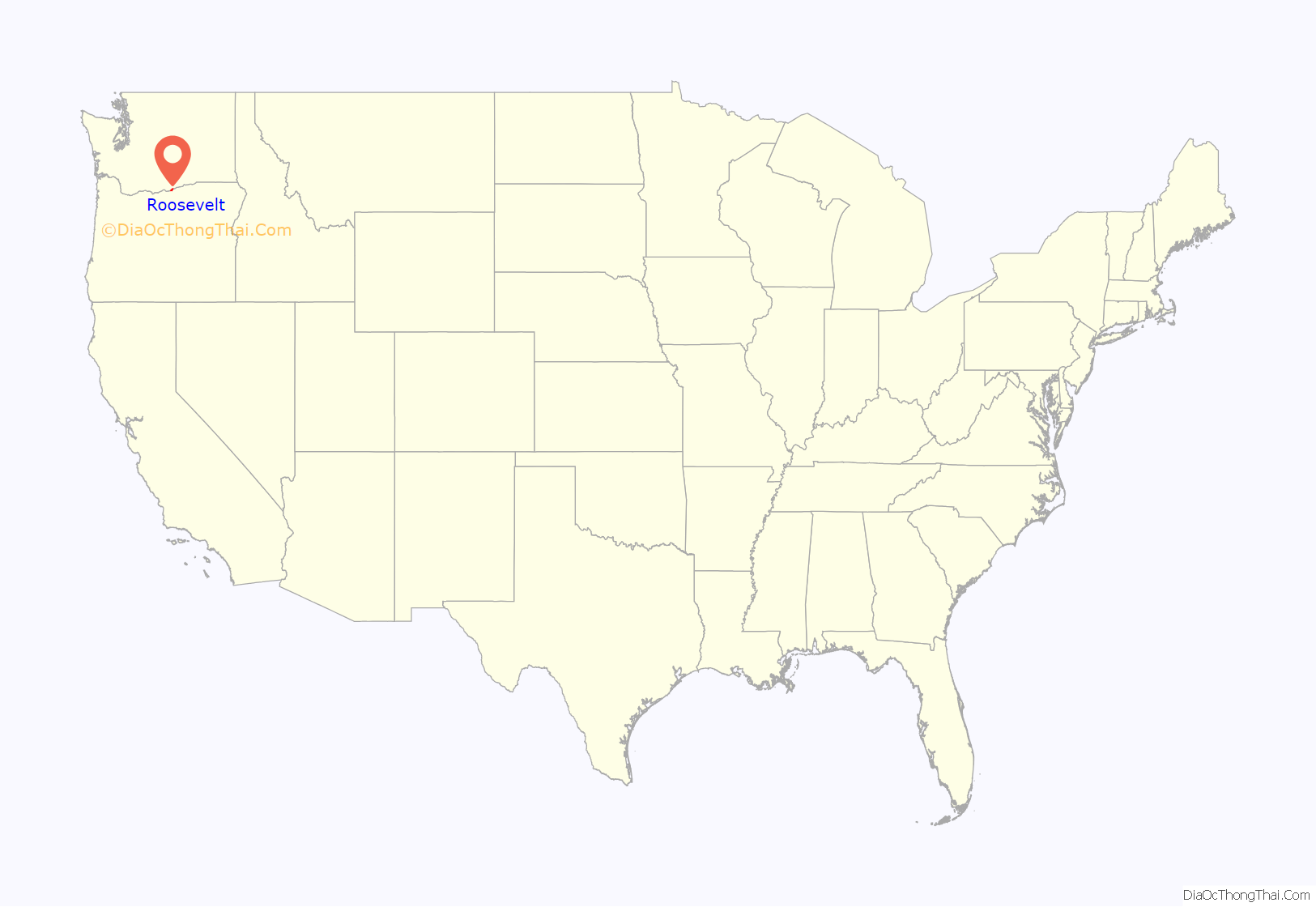
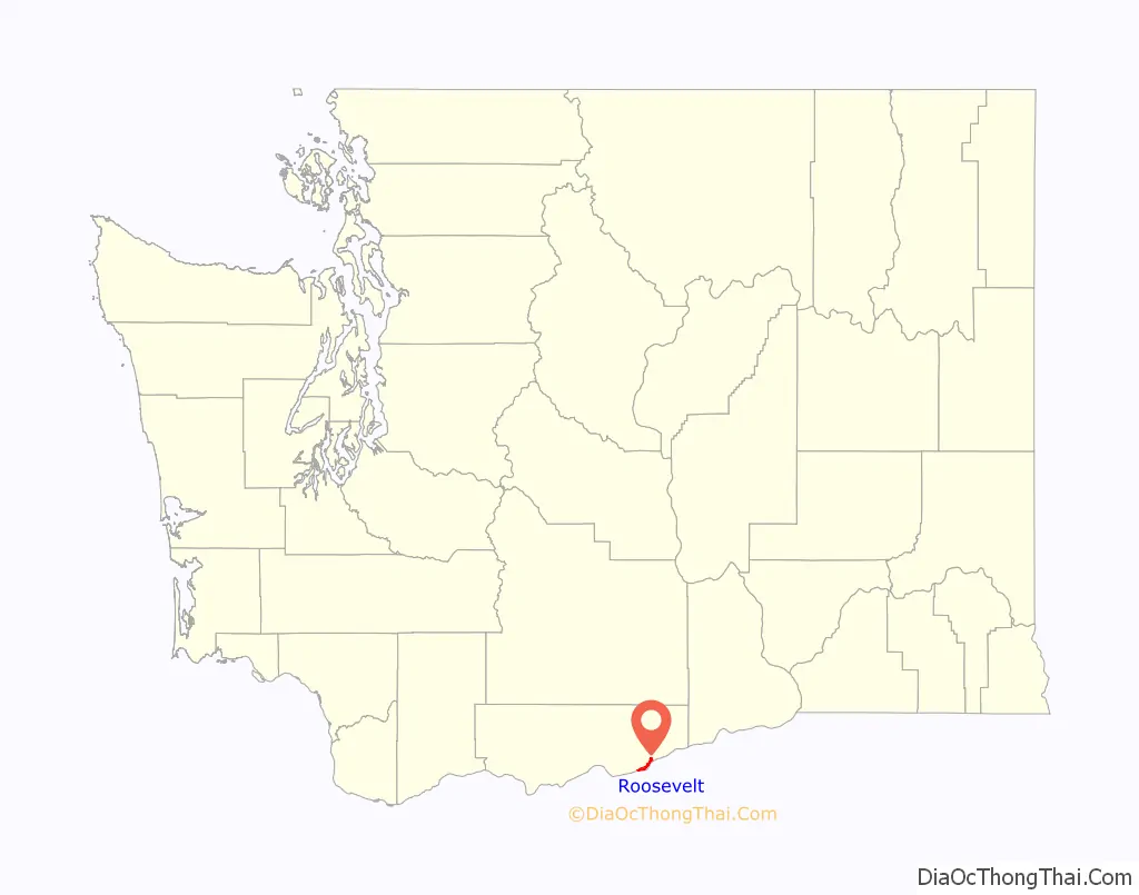
Roosevelt location map. Where is Roosevelt CDP?
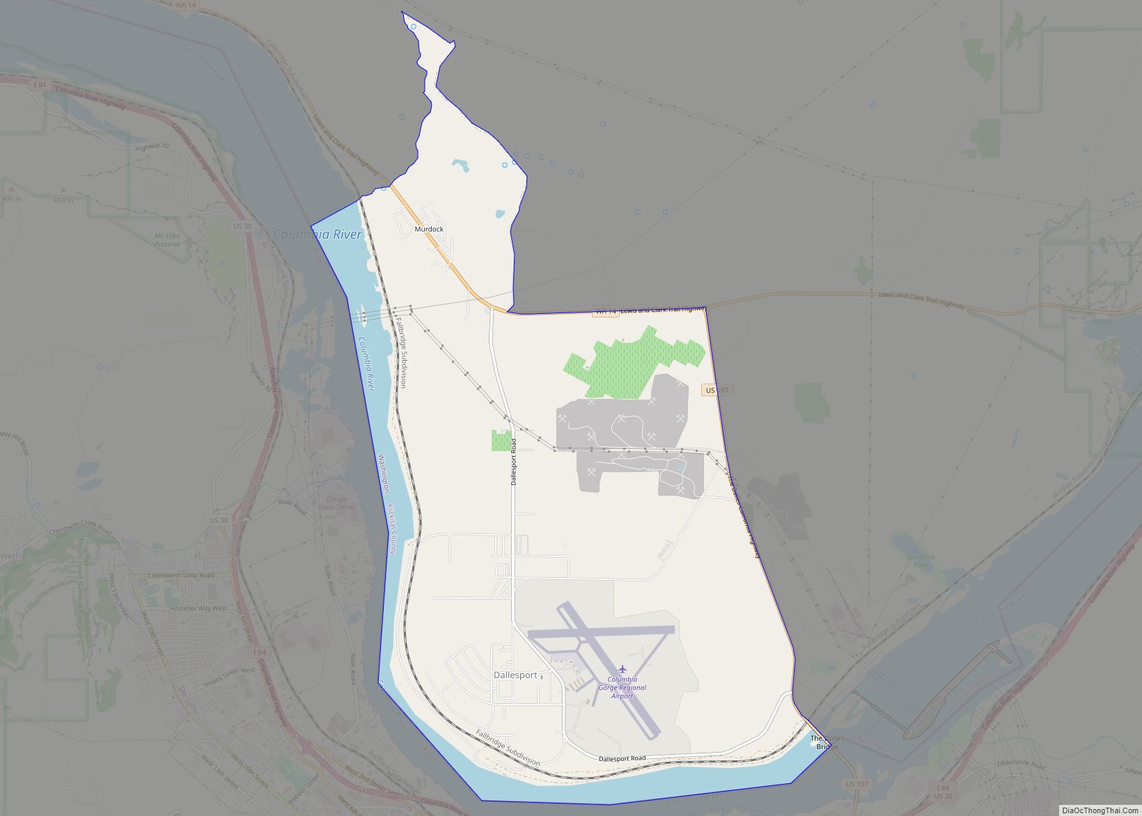
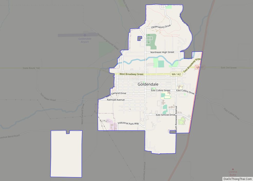
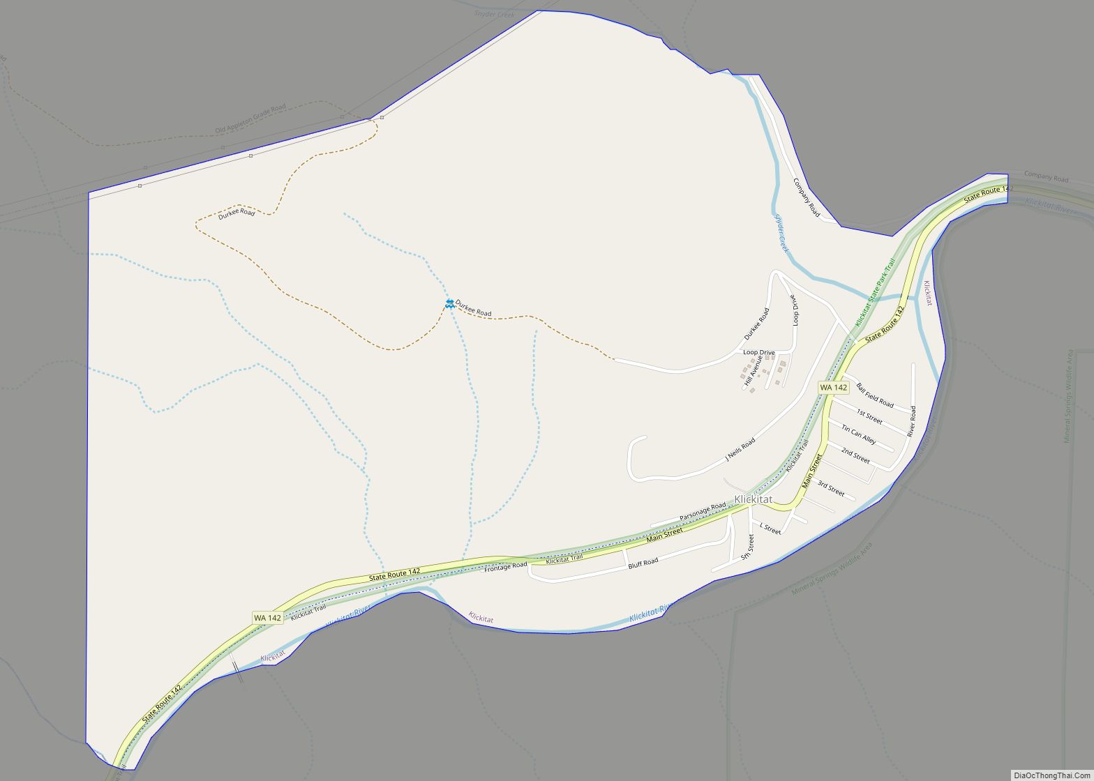
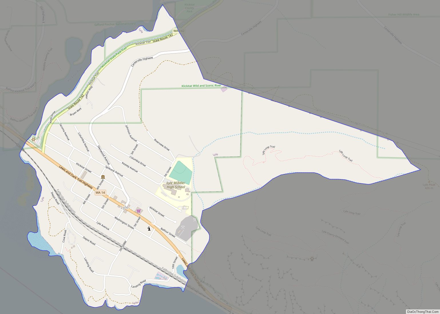
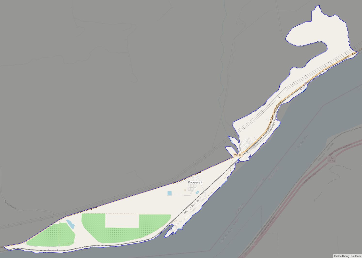
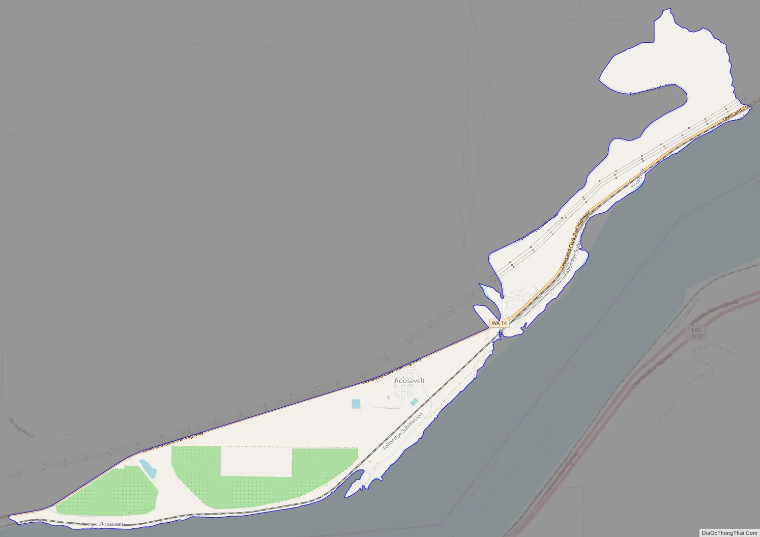
Roosevelt Road Map
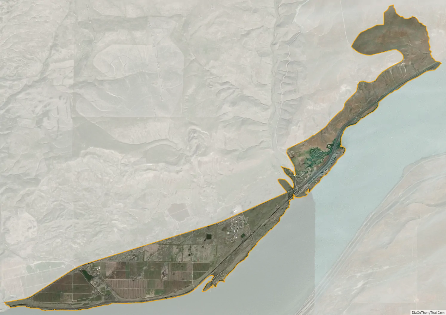
Roosevelt city Satellite Map
Geography
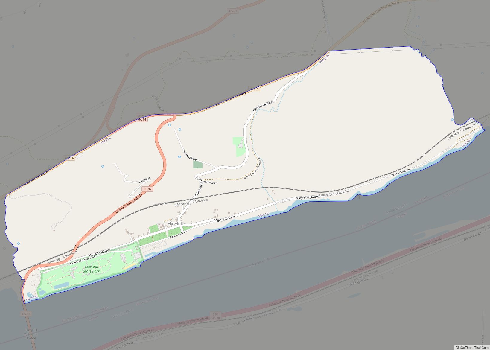
Roosevelt is in southeastern Klickitat County on the north bank of the Columbia River, sitting across from Arlington, Oregon. State Route 14 runs through the community, traveling 34 miles (55 km) east to Paterson and 32 miles (51 km) west to Maryhill.
According to the United States Census Bureau, the CDP has a total area of 3.8 square miles (9.8 km), all of it land.
Climate
This region experiences warm (but not hot) and dry summers, with no average monthly temperatures above 71.6 °F (22.0 °C). According to the Köppen Climate Classification system, Roosevelt has a warm-summer Mediterranean climate, abbreviated “Csb” on climate maps.
See also
Map of Washington State and its subdivision:- Adams
- Asotin
- Benton
- Chelan
- Clallam
- Clark
- Columbia
- Cowlitz
- Douglas
- Ferry
- Franklin
- Garfield
- Grant
- Grays Harbor
- Island
- Jefferson
- King
- Kitsap
- Kittitas
- Klickitat
- Lewis
- Lincoln
- Mason
- Okanogan
- Pacific
- Pend Oreille
- Pierce
- San Juan
- Skagit
- Skamania
- Snohomish
- Spokane
- Stevens
- Thurston
- Wahkiakum
- Walla Walla
- Whatcom
- Whitman
- Yakima
- Alabama
- Alaska
- Arizona
- Arkansas
- California
- Colorado
- Connecticut
- Delaware
- District of Columbia
- Florida
- Georgia
- Hawaii
- Idaho
- Illinois
- Indiana
- Iowa
- Kansas
- Kentucky
- Louisiana
- Maine
- Maryland
- Massachusetts
- Michigan
- Minnesota
- Mississippi
- Missouri
- Montana
- Nebraska
- Nevada
- New Hampshire
- New Jersey
- New Mexico
- New York
- North Carolina
- North Dakota
- Ohio
- Oklahoma
- Oregon
- Pennsylvania
- Rhode Island
- South Carolina
- South Dakota
- Tennessee
- Texas
- Utah
- Vermont
- Virginia
- Washington
- West Virginia
- Wisconsin
- Wyoming