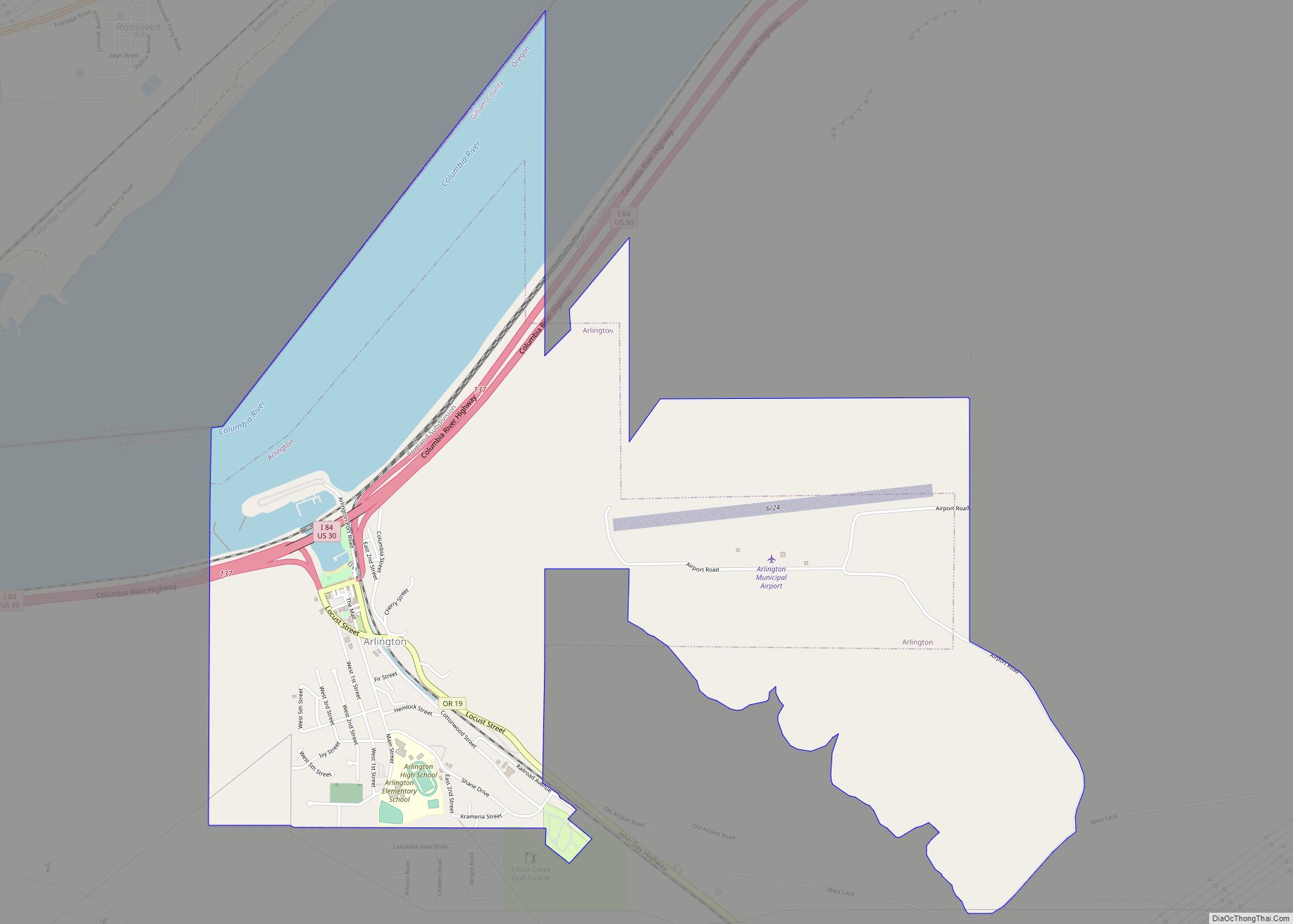
Arlington is a city in Gilliam County, Oregon, United States. The city’s population was 586 at the 2010 census and has a 2019 estimate of 591.
| Name: | Arlington city |
|---|---|
| LSAD Code: | 25 |
| LSAD Description: | city (suffix) |
| State: | Oregon |
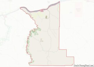
| County: | Gilliam County |
| Incorporated: | 1885 |
| Elevation: | 285 ft (86.87 m) |
| Total Area: | 3.17 sq mi (8.21 km²) |
| Land Area: | 2.55 sq mi (6.60 km²) |
| Water Area: | 0.62 sq mi (1.61 km²) |
| Total Population: | 628 |
| Population Density: | 246.27/sq mi (95.10/km²) |
| ZIP code: | 97812, 97861 |
| Area code: | 541 |
| FIPS code: | 4102800 |
| GNISfeature ID: | 1167692 |
| Website: | https://www.cityofarlingtonoregon.com/ |
Online Interactive Map
Click on ![]() to view map in "full screen" mode.
to view map in "full screen" mode.
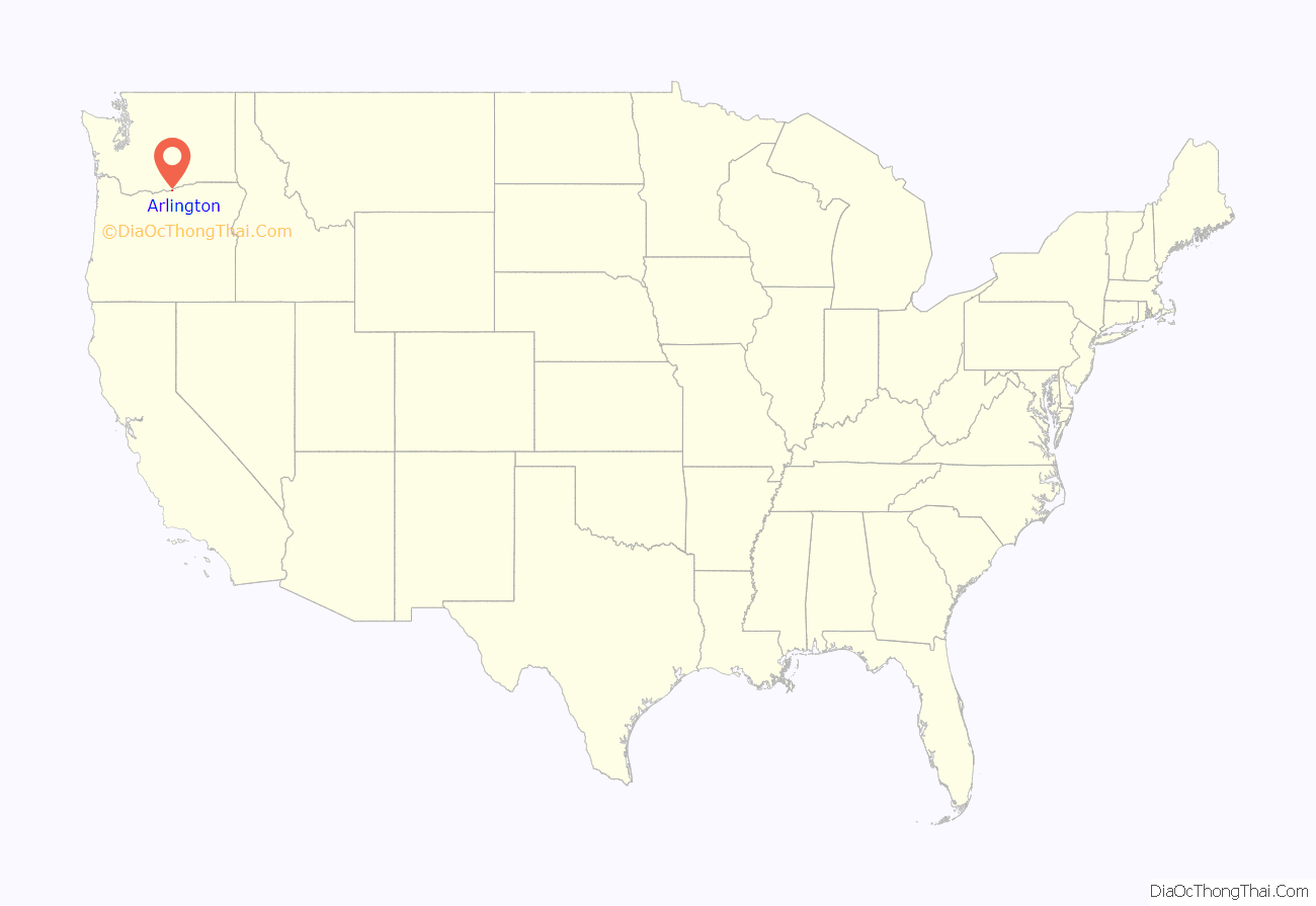
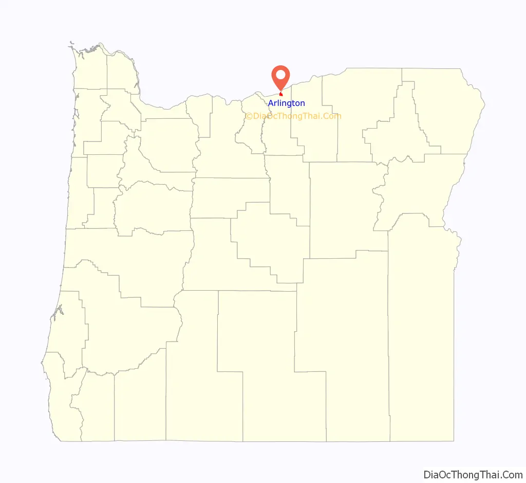
Arlington location map. Where is Arlington city?
History
The account of how the city received its name varies; one tradition claims it was named after the lawyer Nathan Arlington Cornish, while another tradition claims that the Southern inhabitants of the city had enough clout to rename the city after Arlington, Virginia, home of general Robert E. Lee. Originally named Alkali, Arlington came into existence as a place for shipping cattle down the Columbia River. It was incorporated as Arlington by the Oregon Legislative Assembly on November 20, 1885.
Following the completion of the John Day Dam, the original location of Arlington was moved to higher ground in 1963 to avoid the resulting inundation.
In 2008, it was discovered that Mayor Carmen Kontur-Gronquist had posted photos of herself in lingerie online, which, along with several other issues, led to her recall from office.
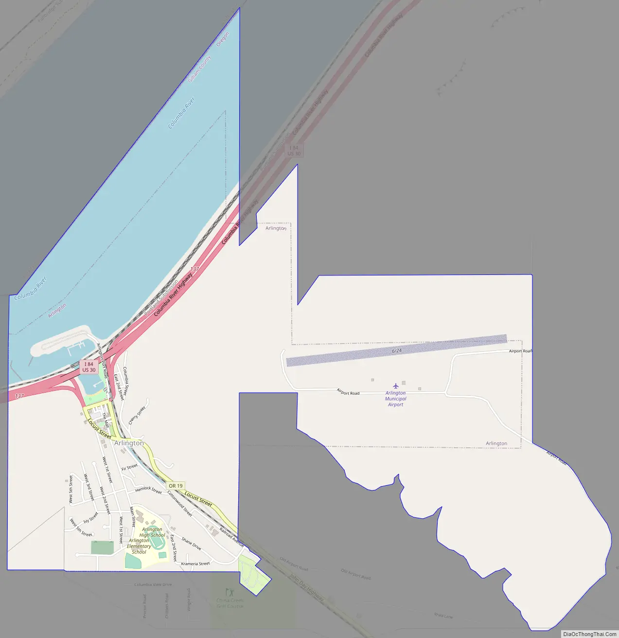
Arlington Road Map
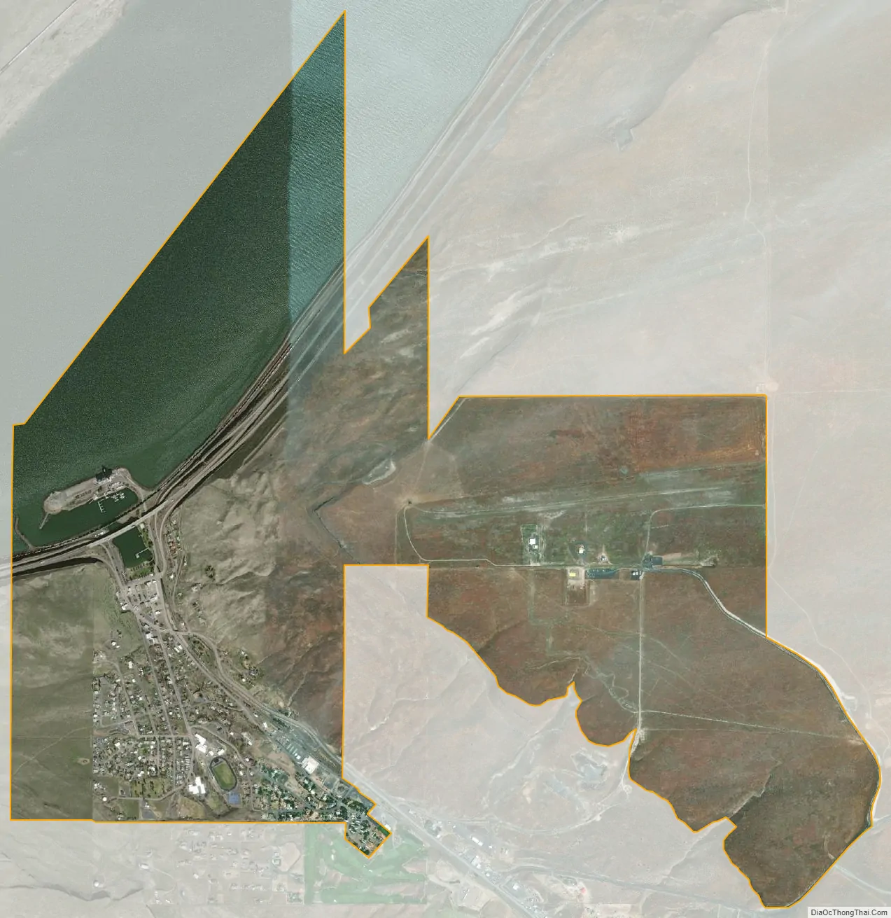
Arlington city Satellite Map
Geography
According to the United States Census Bureau, the city has a total area of 2.4 square miles (6.22 km), of which, 1.78 square miles (4.61 km) is land and 0.62 square miles (1.61 km) is water.
Climate
According to the Köppen Climate Classification system, Arlington has a semi-arid climate, abbreviated “BSk” on climate maps.
See also
Map of Oregon State and its subdivision: Map of other states:- Alabama
- Alaska
- Arizona
- Arkansas
- California
- Colorado
- Connecticut
- Delaware
- District of Columbia
- Florida
- Georgia
- Hawaii
- Idaho
- Illinois
- Indiana
- Iowa
- Kansas
- Kentucky
- Louisiana
- Maine
- Maryland
- Massachusetts
- Michigan
- Minnesota
- Mississippi
- Missouri
- Montana
- Nebraska
- Nevada
- New Hampshire
- New Jersey
- New Mexico
- New York
- North Carolina
- North Dakota
- Ohio
- Oklahoma
- Oregon
- Pennsylvania
- Rhode Island
- South Carolina
- South Dakota
- Tennessee
- Texas
- Utah
- Vermont
- Virginia
- Washington
- West Virginia
- Wisconsin
- Wyoming