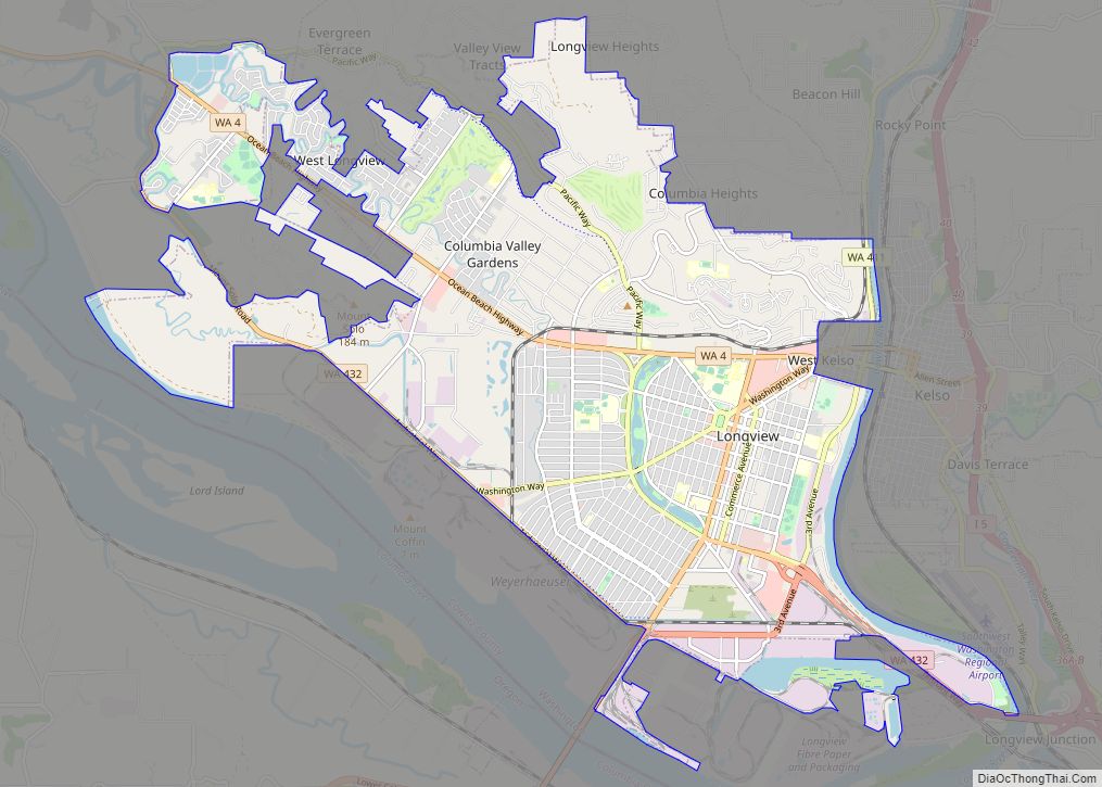
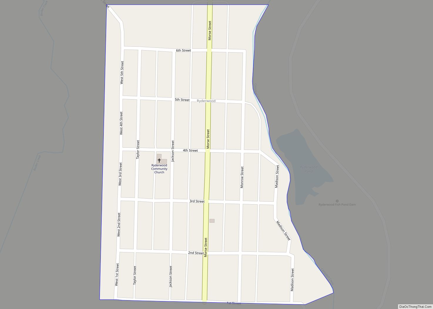
Ryderwood is a census-designated place (CDP) in Cowlitz County, Washington, USA, west of the city of Vader. The population was 395 at the 2010 census.
| Name: | Ryderwood CDP |
|---|---|
| LSAD Code: | 57 |
| LSAD Description: | CDP (suffix) |
| State: | Washington |
| County: | Cowlitz County |
| Elevation: | 266 ft (81 m) |
| Total Area: | 0.16 sq mi (0.42 km²) |
| Land Area: | 0.16 sq mi (0.42 km²) |
| Water Area: | 0.0 sq mi (0.0 km²) |
| Total Population: | 395 |
| ZIP code: | 98581 |
| Area code: | 360 |
| FIPS code: | 5360580 |
| GNISfeature ID: | 2586746 |
Online Interactive Map
Click on ![]() to view map in "full screen" mode.
to view map in "full screen" mode.
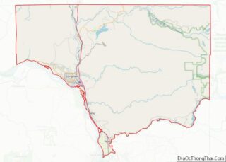
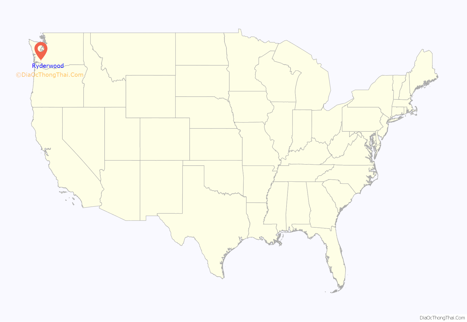
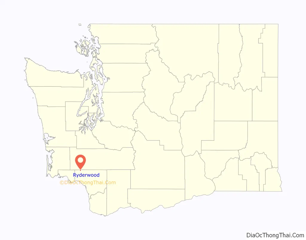
Ryderwood location map. Where is Ryderwood CDP?
History
Ryderwood was established as a logging camp by the Long-Bell Lumber Company in 1923. Simultaneously, the town of Longview was created to mill and ship the lumber coming out of Ryderwood. Ryderwood was named for W. F. (“Uncle Bill”) Ryder, the logging operations manager for Long-Bell, who came to the northwest to locate a timber source. The community was envisioned beyond that of a temporary logging camp, as a permanent center that would contain a school, church and theater. Billed as a place for families to live rather than bachelor workers, Ryderwood was considered a “modern logging town”, as an article in The Log of Long-Bell proclaimed.
By 1953, due to advances in timber harvesting technology and the loss of old growth timber, Long-Bell sold the town. It was purchased by Senior Estates, Inc. for $96,000 with the goal of creating a retirement community for pensioners. The town built Ryderwood Lake in 1956, encompassing 6 acres inside an existing gravel pit.
In the 1980s, Ryderwood was home to the beginning of the Winlock Pickersfest, originally a bluegrass festival. The event relocated to Winlock in 2000. As of 2022, the festival continues to be held.
Ryderwood remains a retirement community managed by the Ryderwood Improvement and Service Association, a non-profit 501(c)4 organization staffed by resident volunteers.
Ryderwood Road Map
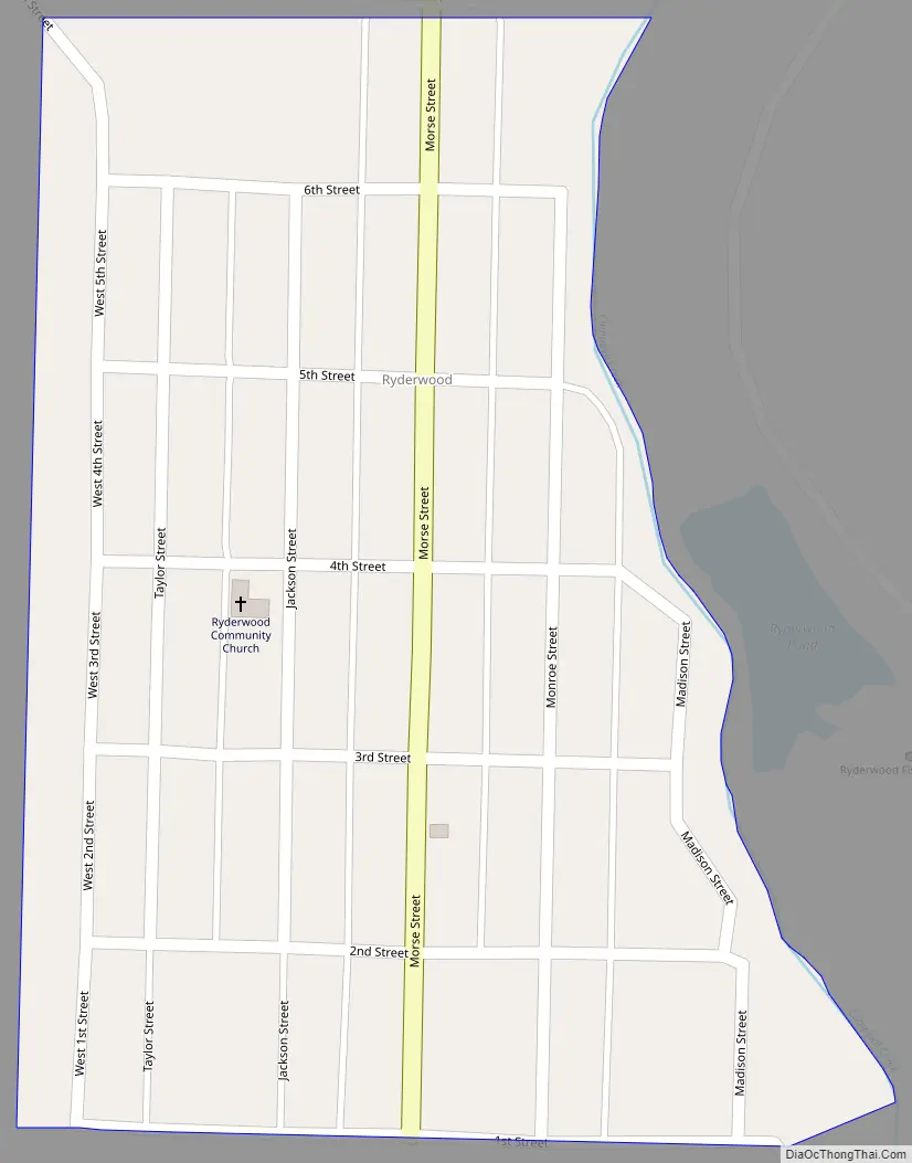
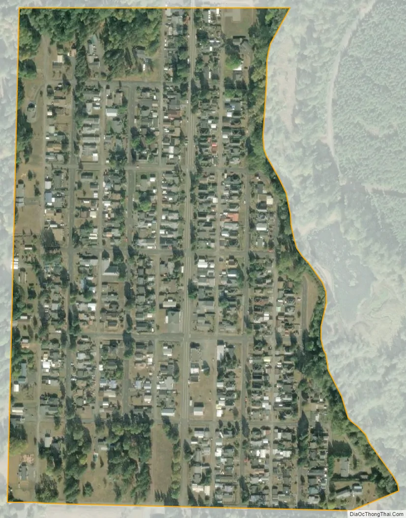
Ryderwood city Satellite Map
Geography
According to the United States Census Bureau, the CDP has a total area of 0.16 square miles (0.42 km), all (100.0%) land.
The town is bordered to the west by Becker Creek and to the east by Campbell Creek and Ryderwood Lake.
See also
Map of Washington State and its subdivision:- Adams
- Asotin
- Benton
- Chelan
- Clallam
- Clark
- Columbia
- Cowlitz
- Douglas
- Ferry
- Franklin
- Garfield
- Grant
- Grays Harbor
- Island
- Jefferson
- King
- Kitsap
- Kittitas
- Klickitat
- Lewis
- Lincoln
- Mason
- Okanogan
- Pacific
- Pend Oreille
- Pierce
- San Juan
- Skagit
- Skamania
- Snohomish
- Spokane
- Stevens
- Thurston
- Wahkiakum
- Walla Walla
- Whatcom
- Whitman
- Yakima
- Alabama
- Alaska
- Arizona
- Arkansas
- California
- Colorado
- Connecticut
- Delaware
- District of Columbia
- Florida
- Georgia
- Hawaii
- Idaho
- Illinois
- Indiana
- Iowa
- Kansas
- Kentucky
- Louisiana
- Maine
- Maryland
- Massachusetts
- Michigan
- Minnesota
- Mississippi
- Missouri
- Montana
- Nebraska
- Nevada
- New Hampshire
- New Jersey
- New Mexico
- New York
- North Carolina
- North Dakota
- Ohio
- Oklahoma
- Oregon
- Pennsylvania
- Rhode Island
- South Carolina
- South Dakota
- Tennessee
- Texas
- Utah
- Vermont
- Virginia
- Washington
- West Virginia
- Wisconsin
- Wyoming