South Bend is a city in and the county seat of Pacific County, Washington, United States. The population was 1,637 as of the 2010 census. The town is widely-known for its oyster production and scenery.
| Name: | South Bend city |
|---|---|
| LSAD Code: | 25 |
| LSAD Description: | city (suffix) |
| State: | Washington |
| County: | Pacific County |
| Elevation: | 56 ft (17 m) |
| Total Area: | 1.99 sq mi (5.16 km²) |
| Land Area: | 1.64 sq mi (4.25 km²) |
| Water Area: | 0.35 sq mi (0.91 km²) |
| Total Population: | 1,637 |
| Population Density: | 1,034.73/sq mi (399.46/km²) |
| ZIP code: | 98586 |
| Area code: | 360 |
| FIPS code: | 5365625 |
| GNISfeature ID: | 1509692 |
Online Interactive Map
Click on ![]() to view map in "full screen" mode.
to view map in "full screen" mode.
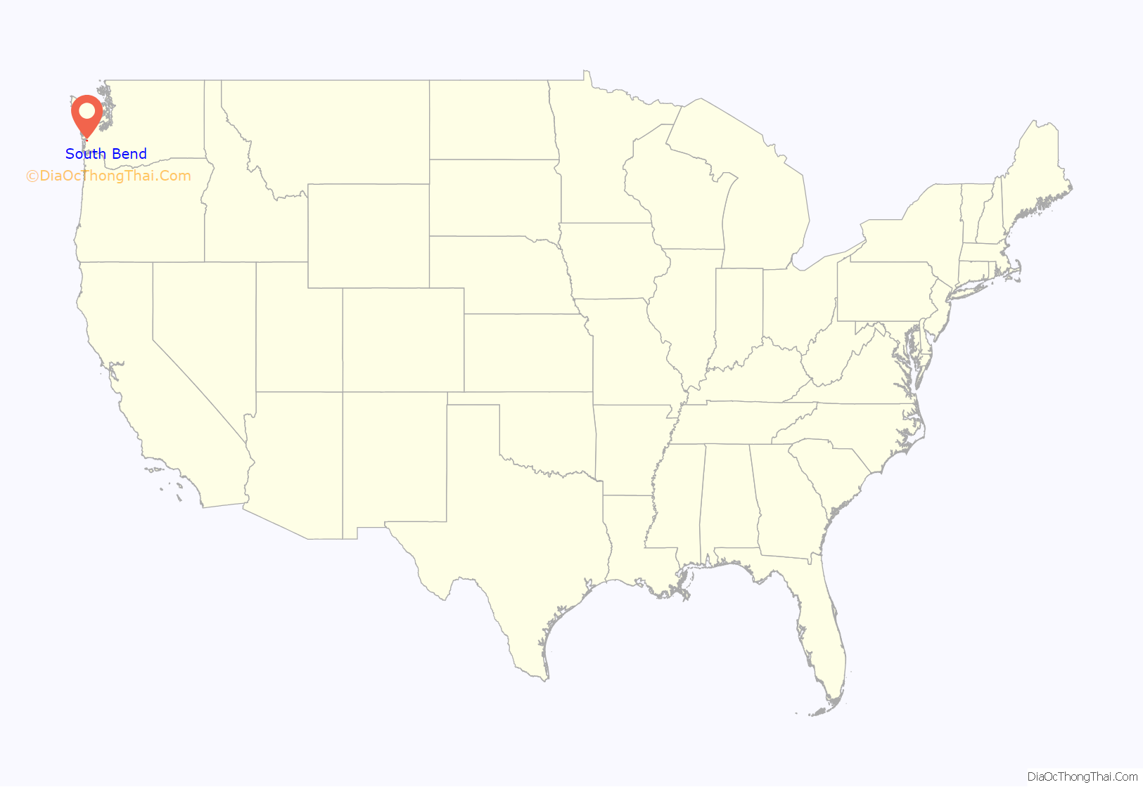
South Bend location map. Where is South Bend city?
History
South Bend was officially incorporated on September 27, 1890. The name of the city comes from its location on the Willapa River. The county seat was relocated from Oysterville to South Bend in 1893. The Pacific County Courthouse is on the National Register of Historic Places. The old South Bend Courthouse was the site of the first and only execution carried out in Pacific County, when convicted murderer Lum You was hanged in 1902.
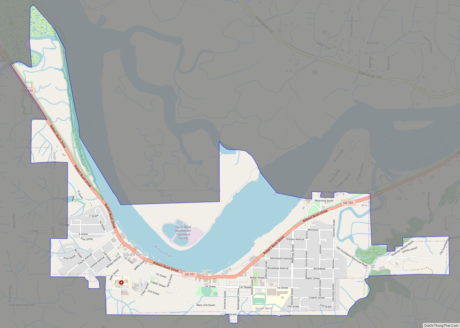
South Bend Road Map
South Bend city Satellite Map
Geography
South Bend is located at 46°39′49″N 123°48′4″W / 46.66361°N 123.80111°W / 46.66361; -123.80111 (46.663477, -123.801176) on the Willapa river.
According to the United States Census Bureau, the city has a total area of 2.01 square miles (5.21 km), of which, 1.63 square miles (4.22 km) is land and 0.38 square miles (0.98 km) is water.
Climate
See also
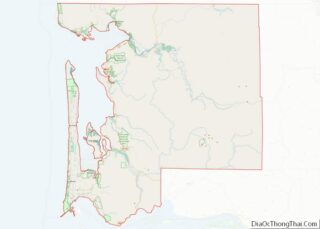
Map of Washington State and its subdivision:- Adams
- Asotin
- Benton
- Chelan
- Clallam
- Clark
- Columbia
- Cowlitz
- Douglas
- Ferry
- Franklin
- Garfield
- Grant
- Grays Harbor
- Island
- Jefferson
- King
- Kitsap
- Kittitas
- Klickitat
- Lewis
- Lincoln
- Mason
- Okanogan
- Pacific
- Pend Oreille
- Pierce
- San Juan
- Skagit
- Skamania
- Snohomish
- Spokane
- Stevens
- Thurston
- Wahkiakum
- Walla Walla
- Whatcom
- Whitman
- Yakima
- Alabama
- Alaska
- Arizona
- Arkansas
- California
- Colorado
- Connecticut
- Delaware
- District of Columbia
- Florida
- Georgia
- Hawaii
- Idaho
- Illinois
- Indiana
- Iowa
- Kansas
- Kentucky
- Louisiana
- Maine
- Maryland
- Massachusetts
- Michigan
- Minnesota
- Mississippi
- Missouri
- Montana
- Nebraska
- Nevada
- New Hampshire
- New Jersey
- New Mexico
- New York
- North Carolina
- North Dakota
- Ohio
- Oklahoma
- Oregon
- Pennsylvania
- Rhode Island
- South Carolina
- South Dakota
- Tennessee
- Texas
- Utah
- Vermont
- Virginia
- Washington
- West Virginia
- Wisconsin
- Wyoming
