Spanaway is a census-designated place (CDP) in Pierce County, Washington, United States. The population was 35,476 at the 2020 census, up from 27,227 in 2010. Spanaway is an unincorporated area near Tacoma, and is often identified together with the more urban, less wealthy Parkland.
Spanaway’s main business thoroughfare is Pacific Avenue South, which is a north–south road that coincides with State Route 7 through the Spanaway area.
| Name: | Spanaway CDP |
|---|---|
| LSAD Code: | 57 |
| LSAD Description: | CDP (suffix) |
| State: | Washington |
| County: | Pierce County |
| Elevation: | 381 ft (116 m) |
| Total Area: | 8.7 sq mi (22.5 km²) |
| Land Area: | 8.3 sq mi (21.6 km²) |
| Water Area: | 0.4 sq mi (1.0 km²) |
| Total Population: | 35,476 |
| Population Density: | 4,100/sq mi (1,600/km²) |
| ZIP code: | 98387 |
| Area code: | 253/564 |
| FIPS code: | 5366255 |
| GNISfeature ID: | 1512680 |
Online Interactive Map
Click on ![]() to view map in "full screen" mode.
to view map in "full screen" mode.
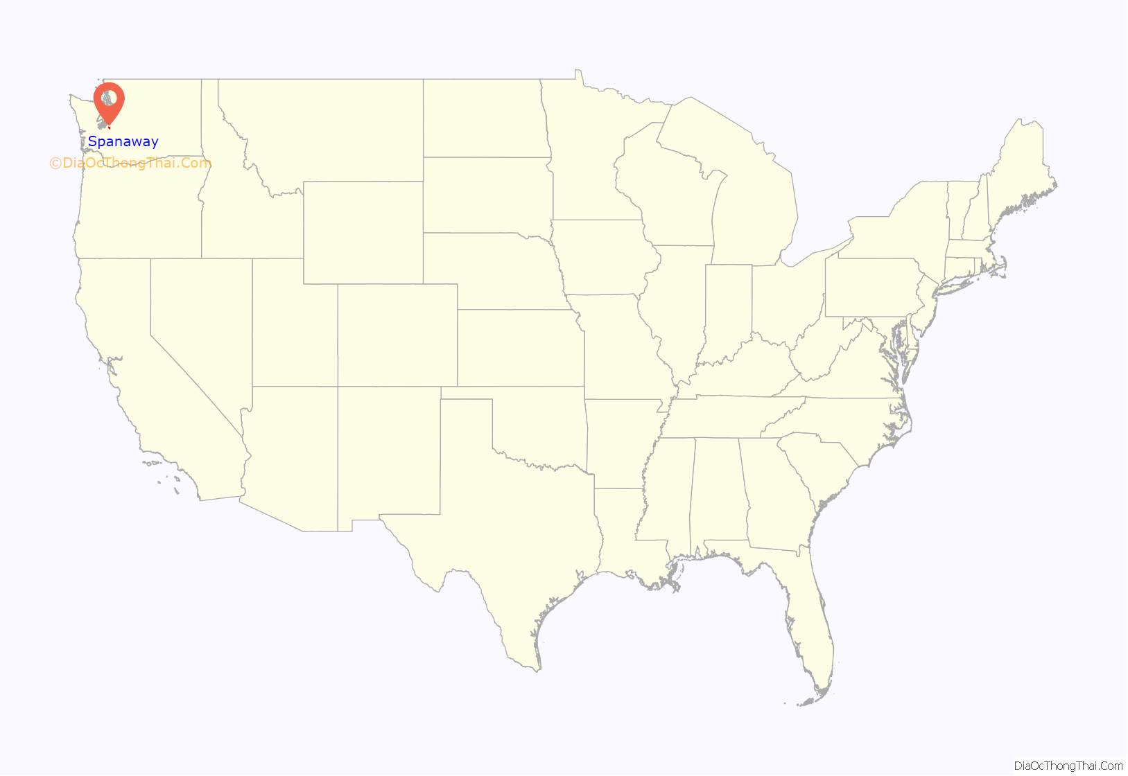
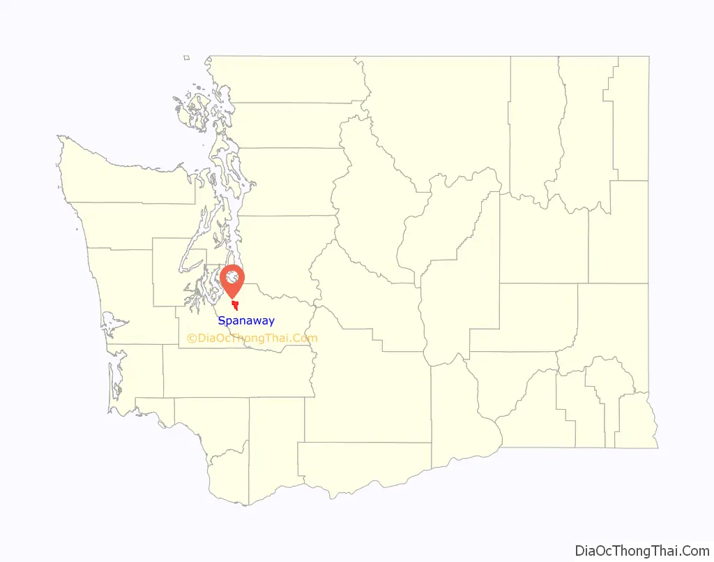
Spanaway location map. Where is Spanaway CDP?
History
The Hudson’s Bay Company, headquartered at Fort Nisqually, had control of this region until 1863. Company maps and journals show the company’s subsidiary, the Pugets Sound Agricultural Company, raised cattle, grain, and sheep at “Spanueh Station” on the south and east shores of “Spanueh Lake.” Spanueh is the Hudson Bay Company’s spelling of the native Lushootseed spadue, which means “dug roots” referring to an area where camas and other edible roots can be found. Lushootseed underwent a loss of nasal consonants in the 1800s, so “Spanueh” simply transcribes an older pronunciation of what is now “Spadue”.
The first white settler to take a donation claim by the lake, Henry de la Bushalier, tried to rename the lake after himself. That faded away with his death one year later. In 1890 the area was renamed “Lake Park” as a planned community by the Lake Park Land, Railway and Improvement Company, which bought all the nearby land east of the lake and built a rail line to its “recreation mecca” on the shore of “Spanaway Lake.” When Mount Rainier National Park was established in 1899, tourists would take the train to its terminus in Lake Park and from there make the two-day journey to Mount Rainier, making Spanaway the original “gateway” to Mount Rainier. The journey was made by stagecoach, with an overnight stop in Eatonville; the route was in operation as early as 1893.
Although the U.S. Board on Geographic Names recognized the community of “Lake Park” in 1897, it had to very belatedly reverse its decision in 1970 to accept common usage: Spanaway (Spanueh).
In the 21st century, several attempts were made to incorporate Spanaway and neighboring communities into a city.
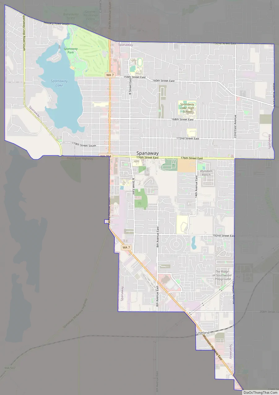
Spanaway Road Map
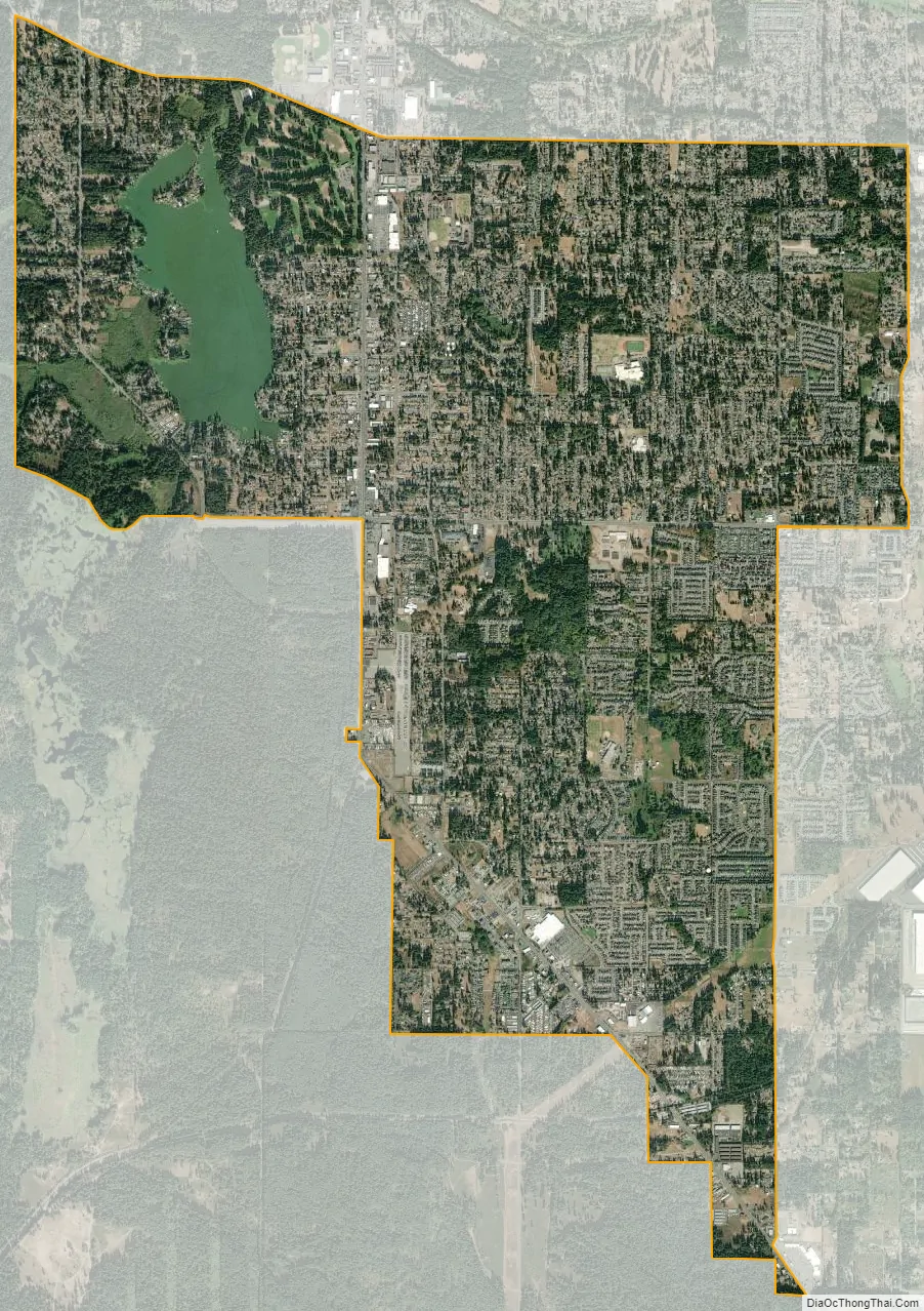
Spanaway city Satellite Map
Geography
According to the United States Census Bureau, the CDP has a total area of 8.7 square miles (22.6 km), of which, 8.3 square miles (21.6 km) of it is land and 0.4 square miles (1.0 km) of it (4.25%) is water.
Surrounding communities
See also
Map of Washington State and its subdivision:- Adams
- Asotin
- Benton
- Chelan
- Clallam
- Clark
- Columbia
- Cowlitz
- Douglas
- Ferry
- Franklin
- Garfield
- Grant
- Grays Harbor
- Island
- Jefferson
- King
- Kitsap
- Kittitas
- Klickitat
- Lewis
- Lincoln
- Mason
- Okanogan
- Pacific
- Pend Oreille
- Pierce
- San Juan
- Skagit
- Skamania
- Snohomish
- Spokane
- Stevens
- Thurston
- Wahkiakum
- Walla Walla
- Whatcom
- Whitman
- Yakima
- Alabama
- Alaska
- Arizona
- Arkansas
- California
- Colorado
- Connecticut
- Delaware
- District of Columbia
- Florida
- Georgia
- Hawaii
- Idaho
- Illinois
- Indiana
- Iowa
- Kansas
- Kentucky
- Louisiana
- Maine
- Maryland
- Massachusetts
- Michigan
- Minnesota
- Mississippi
- Missouri
- Montana
- Nebraska
- Nevada
- New Hampshire
- New Jersey
- New Mexico
- New York
- North Carolina
- North Dakota
- Ohio
- Oklahoma
- Oregon
- Pennsylvania
- Rhode Island
- South Carolina
- South Dakota
- Tennessee
- Texas
- Utah
- Vermont
- Virginia
- Washington
- West Virginia
- Wisconsin
- Wyoming


