Sprague is a small city in Lincoln County, Washington, United States. The population was 446 at the 2010 census. The city was platted in 1880 and named for former American Civil War Union general John Wilson Sprague.
| Name: | Sprague city |
|---|---|
| LSAD Code: | 25 |
| LSAD Description: | city (suffix) |
| State: | Washington |
| County: | Lincoln County |
| Elevation: | 1,903 ft (580 m) |
| Total Area: | 1.05 sq mi (2.72 km²) |
| Land Area: | 1.05 sq mi (2.72 km²) |
| Water Area: | 0.00 sq mi (0.00 km²) |
| Total Population: | 446 |
| Population Density: | 437.26/sq mi (168.88/km²) |
| ZIP code: | 99032 |
| Area code: | 509 |
| FIPS code: | 5367175 |
| GNISfeature ID: | 1508614 |
| Website: | sprague-wa.us |
Online Interactive Map
Click on ![]() to view map in "full screen" mode.
to view map in "full screen" mode.
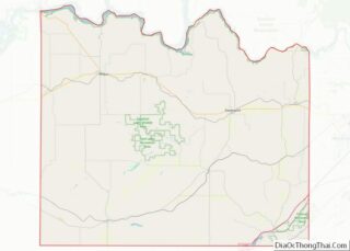
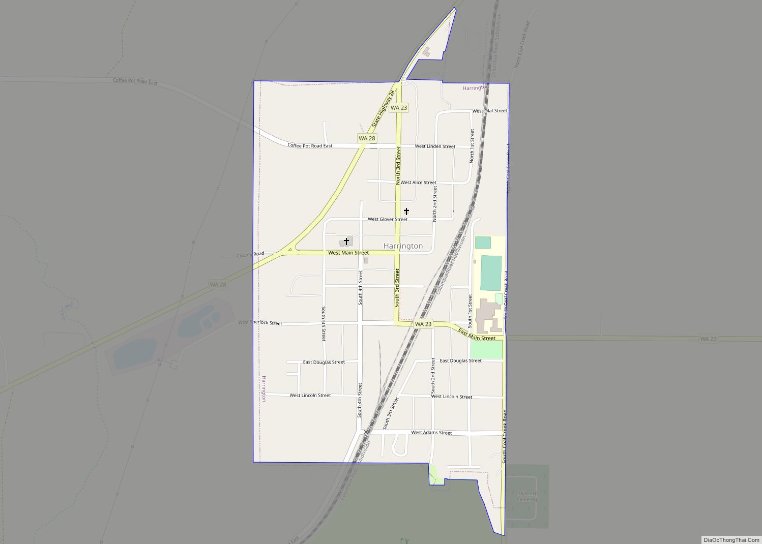
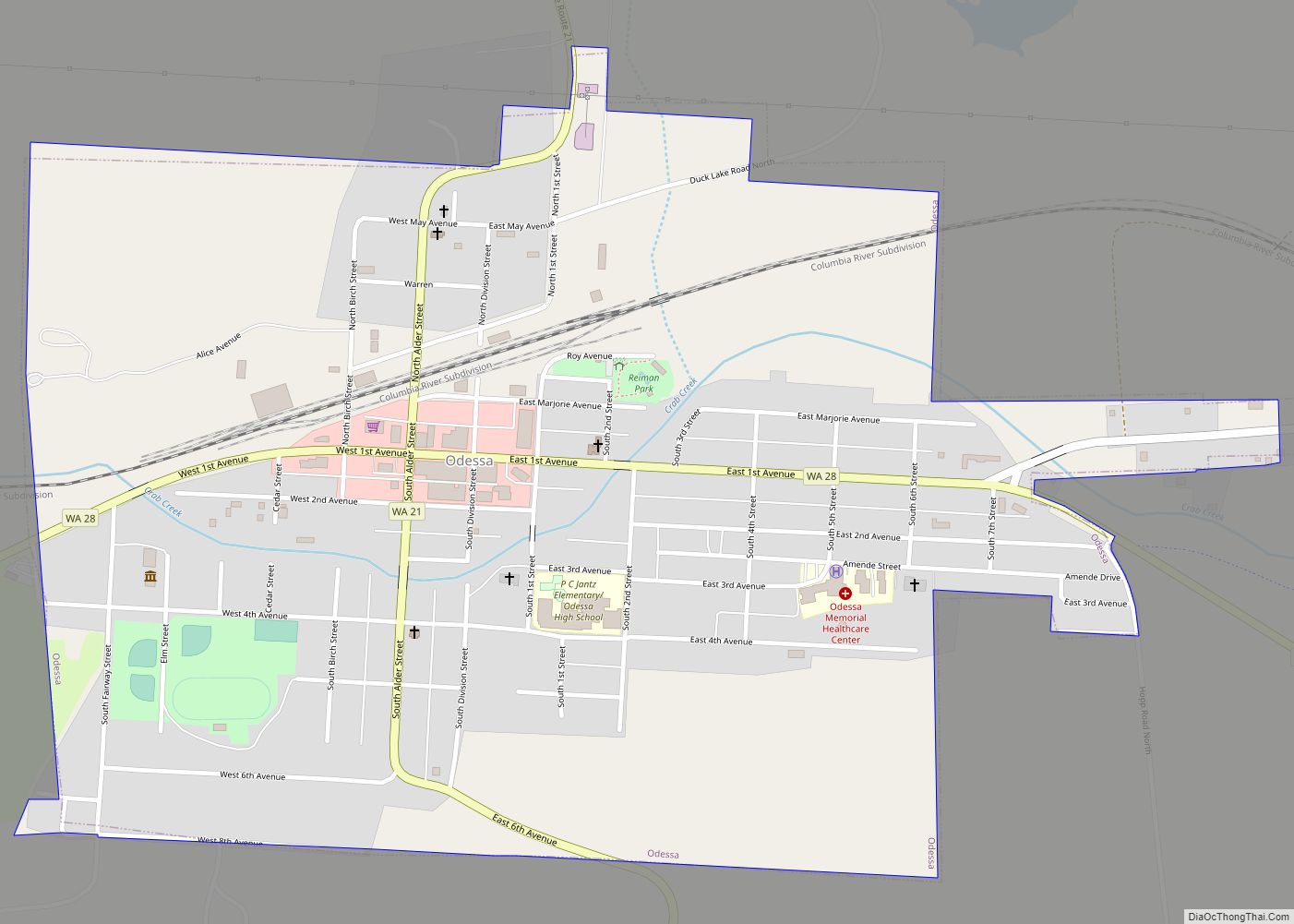
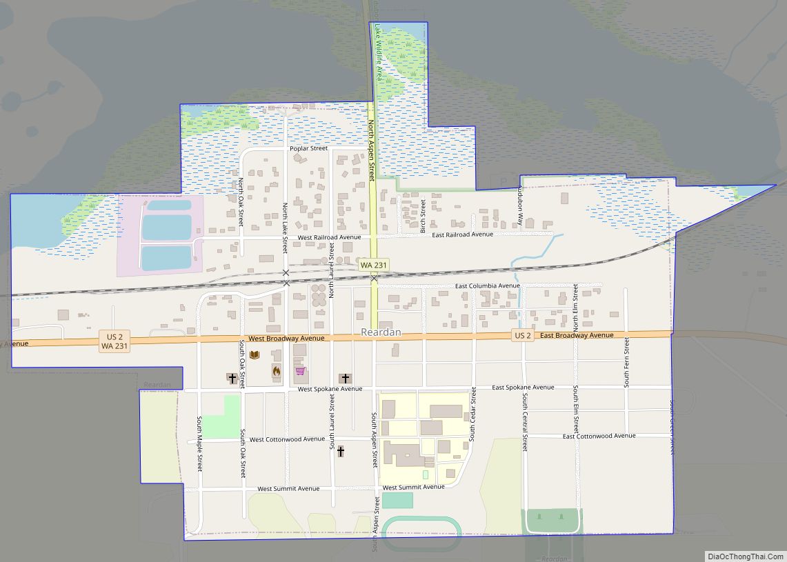
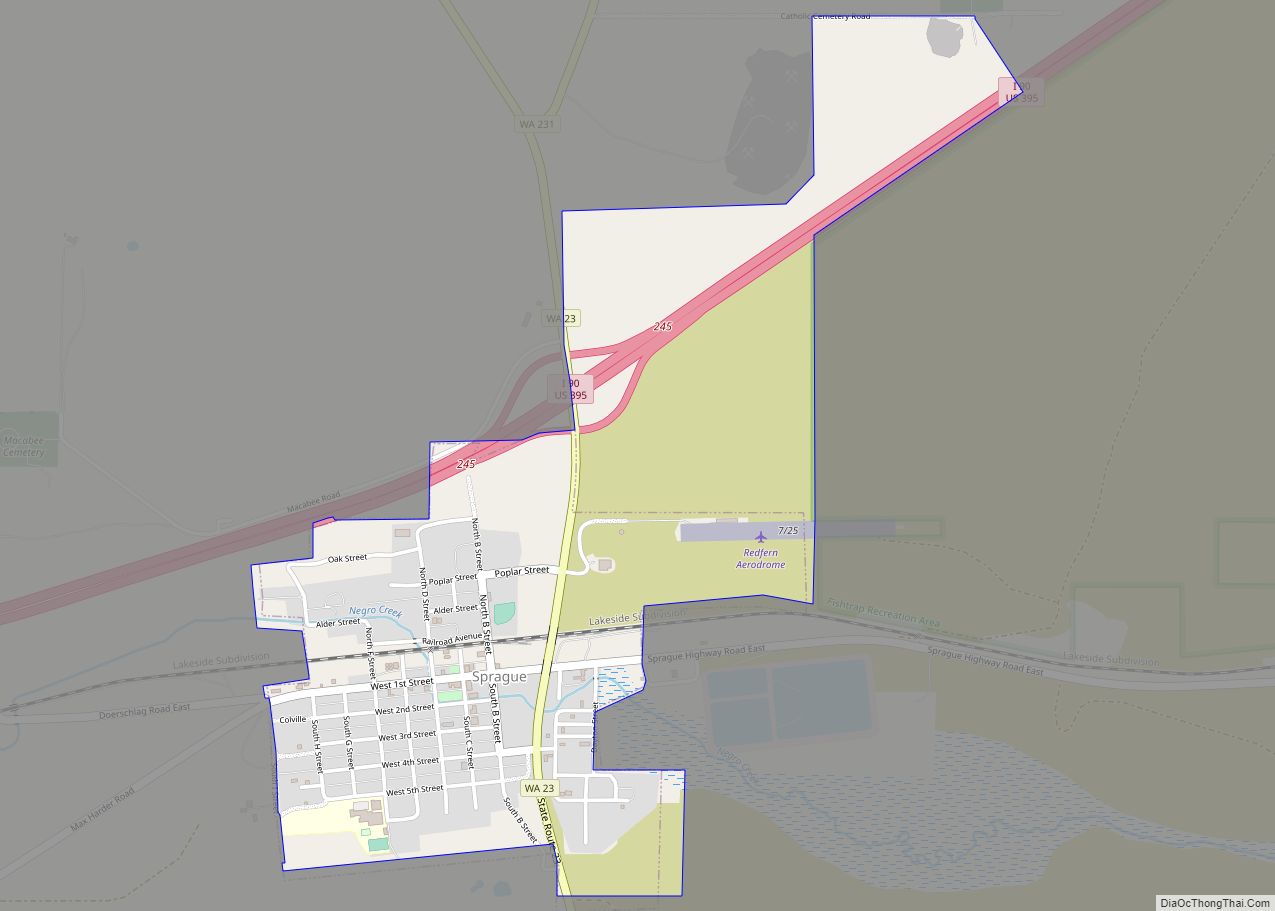
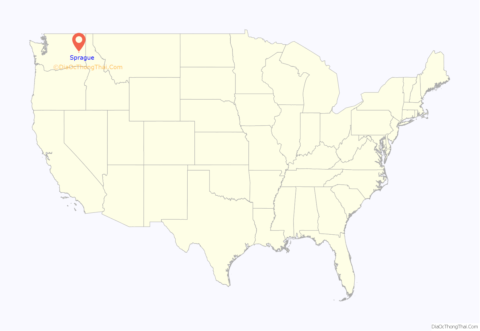
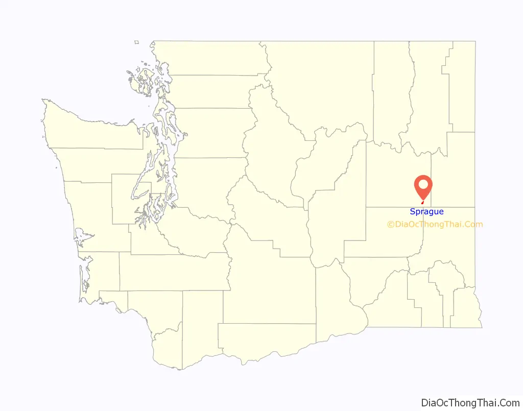
Sprague location map. Where is Sprague city?
History
Sprague was first settled by William Newman, who established an inn at the location.
Sprague was officially incorporated on November 28, 1883. Originally called Hoodooville after William Burrows, a local character called Hoodoo Billy, the name was changed to honor General John W. Sprague, a railroad executive.
Sprague was destroyed by fire on August 3, 1895. The fire and subsequent decision by the Northern Pacific Railroad to not rebuild in the town resulted in the relocation of the county seat, held by Sprague after an election in 1884, to Davenport in 1896 after a controversial vote.
Mary Queen of Heaven Catholic Church in Sprague, Washington was originally built in 1883. The current church was built in a Gothic Revival style and erected in 1902, just south of the site of the original church and blessed by the Bishop of Nesqually. It was placed on the National Register of Historic Places by the U.S. Department of Interior in 1990.
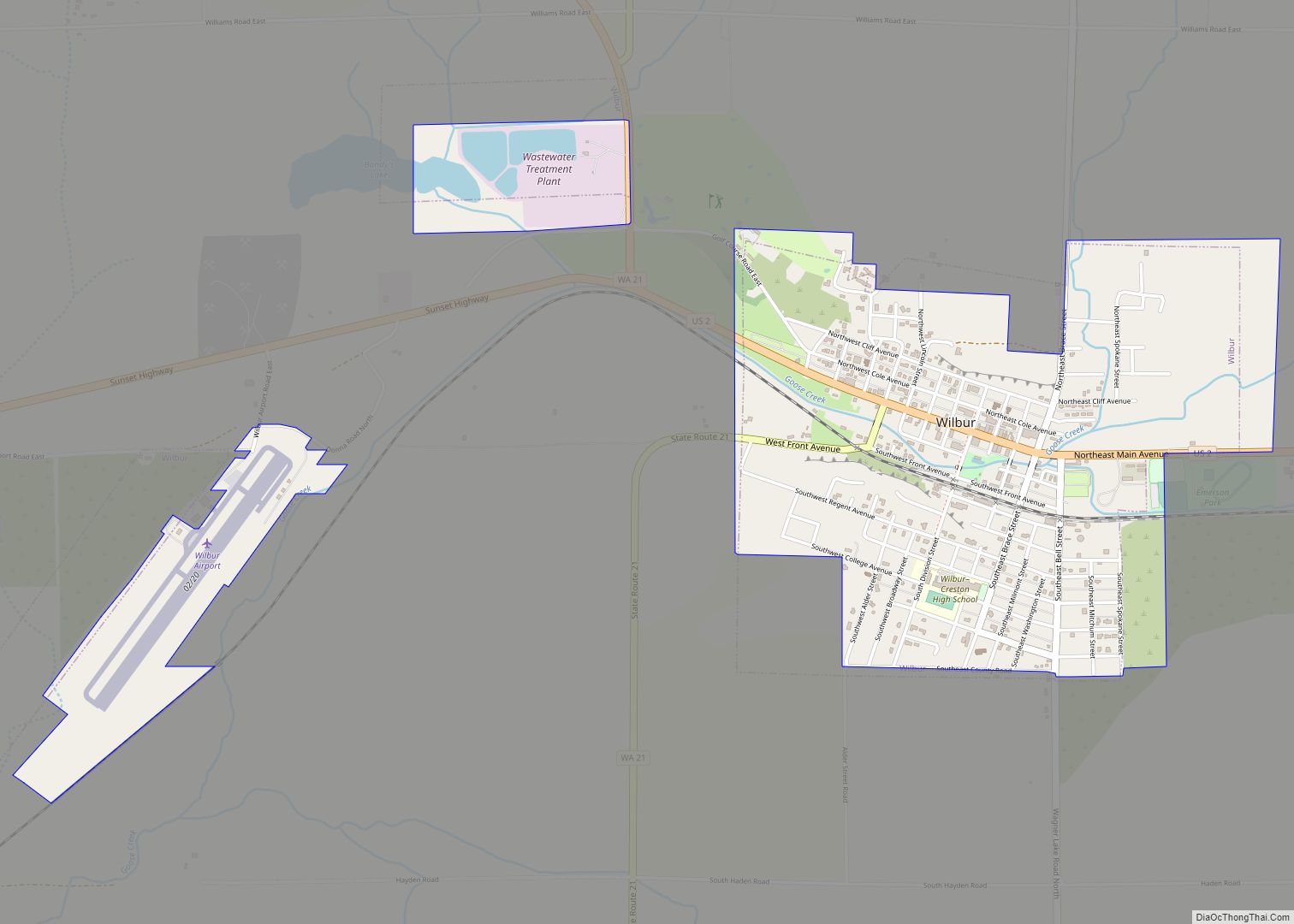
Sprague Road Map
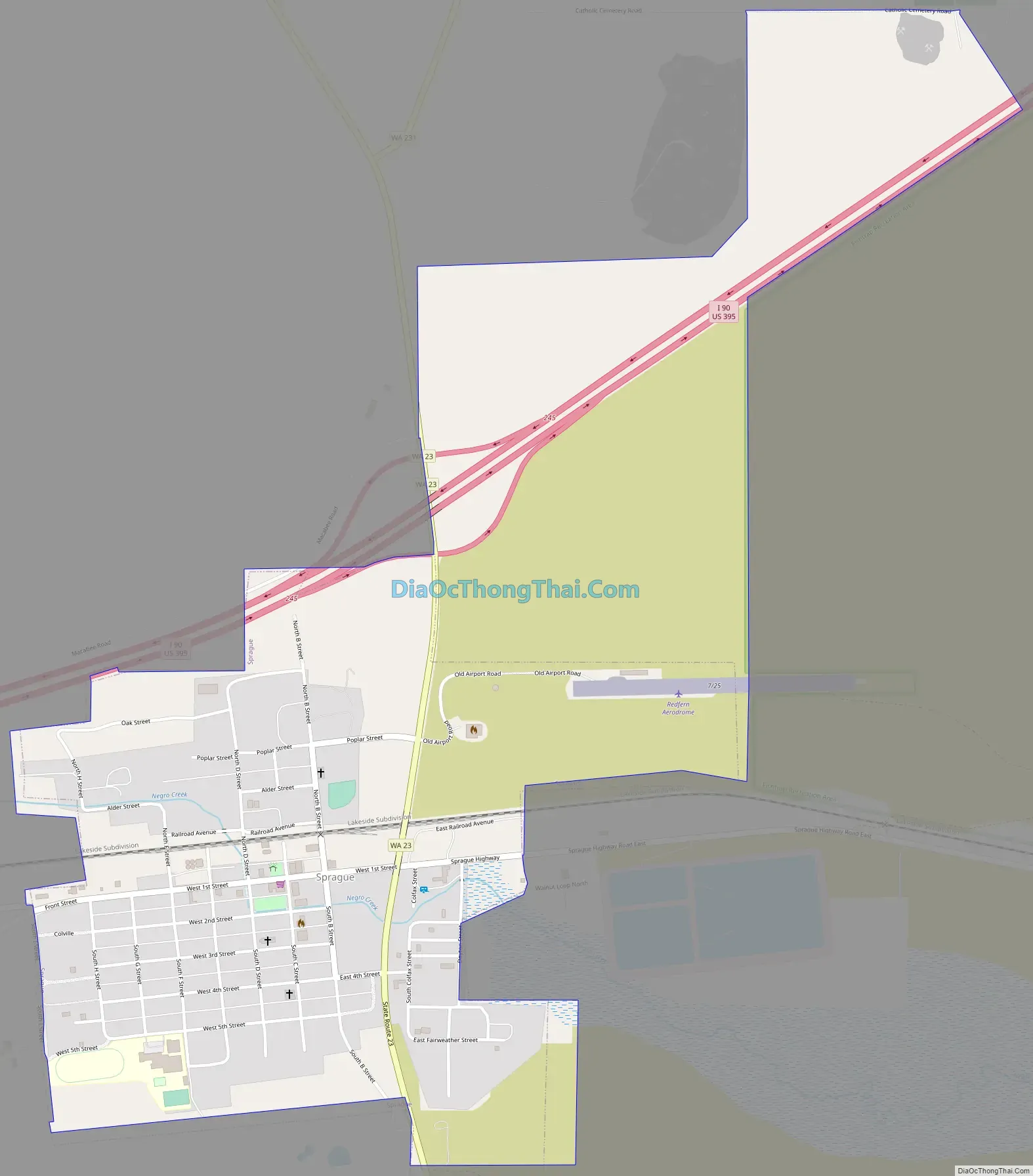
Sprague city Satellite Map
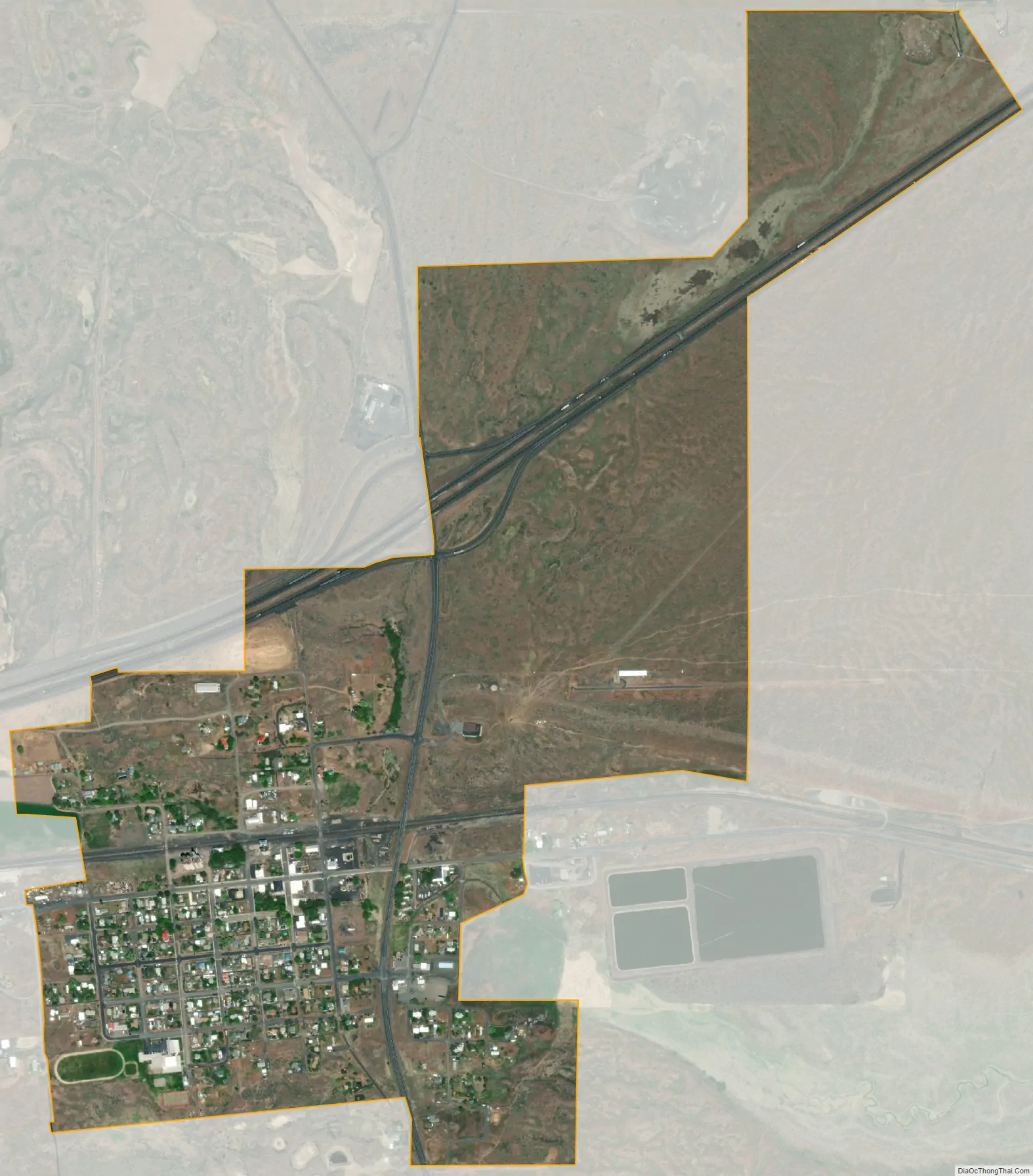
Geography
Sprague is located at 47°17′56″N 117°58′39″W / 47.29889°N 117.97750°W / 47.29889; -117.97750 (47.298974, -117.977532). It is at the junction of Interstate 90 and State Route 23, northeast of Sprague Lake. It is approximately 23 miles (37 km) from Ritzville and 36 miles (58 km) from Spokane.
According to the United States Census Bureau, the city has a total area of 0.63 square miles (1.63 km), all of it land.
See also
Map of Washington State and its subdivision:- Adams
- Asotin
- Benton
- Chelan
- Clallam
- Clark
- Columbia
- Cowlitz
- Douglas
- Ferry
- Franklin
- Garfield
- Grant
- Grays Harbor
- Island
- Jefferson
- King
- Kitsap
- Kittitas
- Klickitat
- Lewis
- Lincoln
- Mason
- Okanogan
- Pacific
- Pend Oreille
- Pierce
- San Juan
- Skagit
- Skamania
- Snohomish
- Spokane
- Stevens
- Thurston
- Wahkiakum
- Walla Walla
- Whatcom
- Whitman
- Yakima
- Alabama
- Alaska
- Arizona
- Arkansas
- California
- Colorado
- Connecticut
- Delaware
- District of Columbia
- Florida
- Georgia
- Hawaii
- Idaho
- Illinois
- Indiana
- Iowa
- Kansas
- Kentucky
- Louisiana
- Maine
- Maryland
- Massachusetts
- Michigan
- Minnesota
- Mississippi
- Missouri
- Montana
- Nebraska
- Nevada
- New Hampshire
- New Jersey
- New Mexico
- New York
- North Carolina
- North Dakota
- Ohio
- Oklahoma
- Oregon
- Pennsylvania
- Rhode Island
- South Carolina
- South Dakota
- Tennessee
- Texas
- Utah
- Vermont
- Virginia
- Washington
- West Virginia
- Wisconsin
- Wyoming