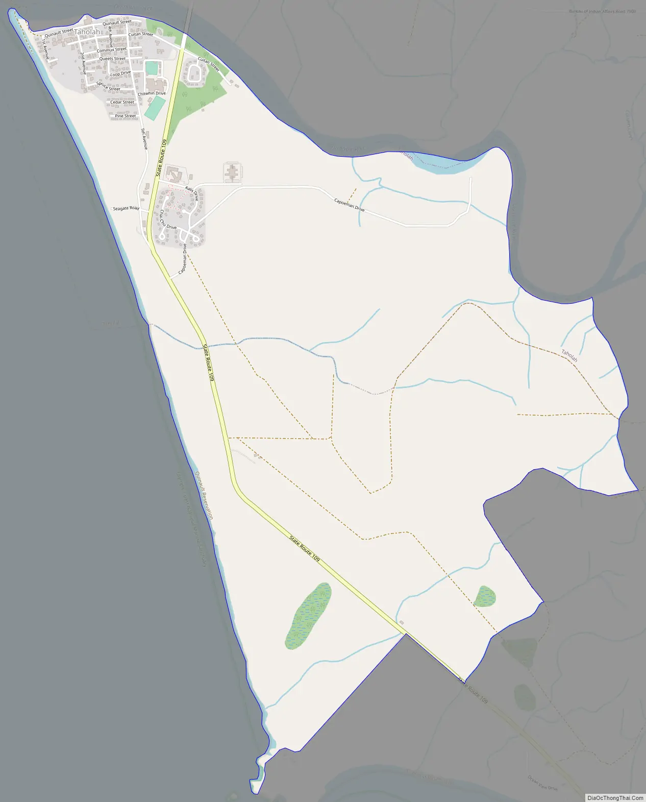
Taholah is a census-designated place (CDP) on the Quinault Indian Reservation, in Grays Harbor County, Washington, United States. Named for a Quinault chief in 1905, its population was 840 at the 2010 census. The headquarters for the Quinault Indian Nation was moved to Taholah from the town of Quinault on the shore of Lake Quinault.
| Name: | Taholah CDP |
|---|---|
| LSAD Code: | 57 |
| LSAD Description: | CDP (suffix) |
| State: | Washington |
| County: | Grays Harbor County |
| Elevation: | 7 ft (2 m) |
| Total Area: | 3.53 sq mi (9.13 km²) |
| Land Area: | 3.46 sq mi (8.96 km²) |
| Water Area: | 0.07 sq mi (0.18 km²) |
| Total Population: | 840 |
| Population Density: | 243/sq mi (93.8/km²) |
| ZIP code: | 98587 |
| Area code: | 360 |
| FIPS code: | 5370175 |
| GNISfeature ID: | 1531522 |
Online Interactive Map
Click on ![]() to view map in "full screen" mode.
to view map in "full screen" mode.
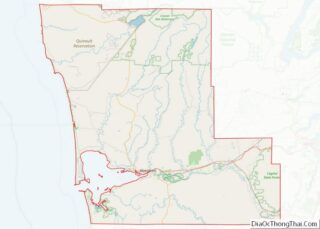
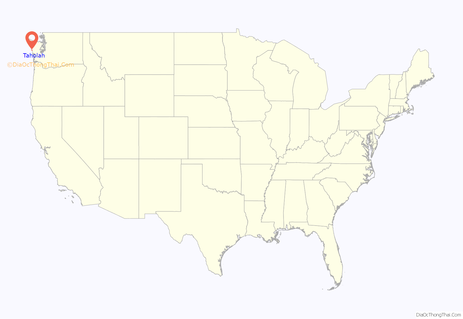
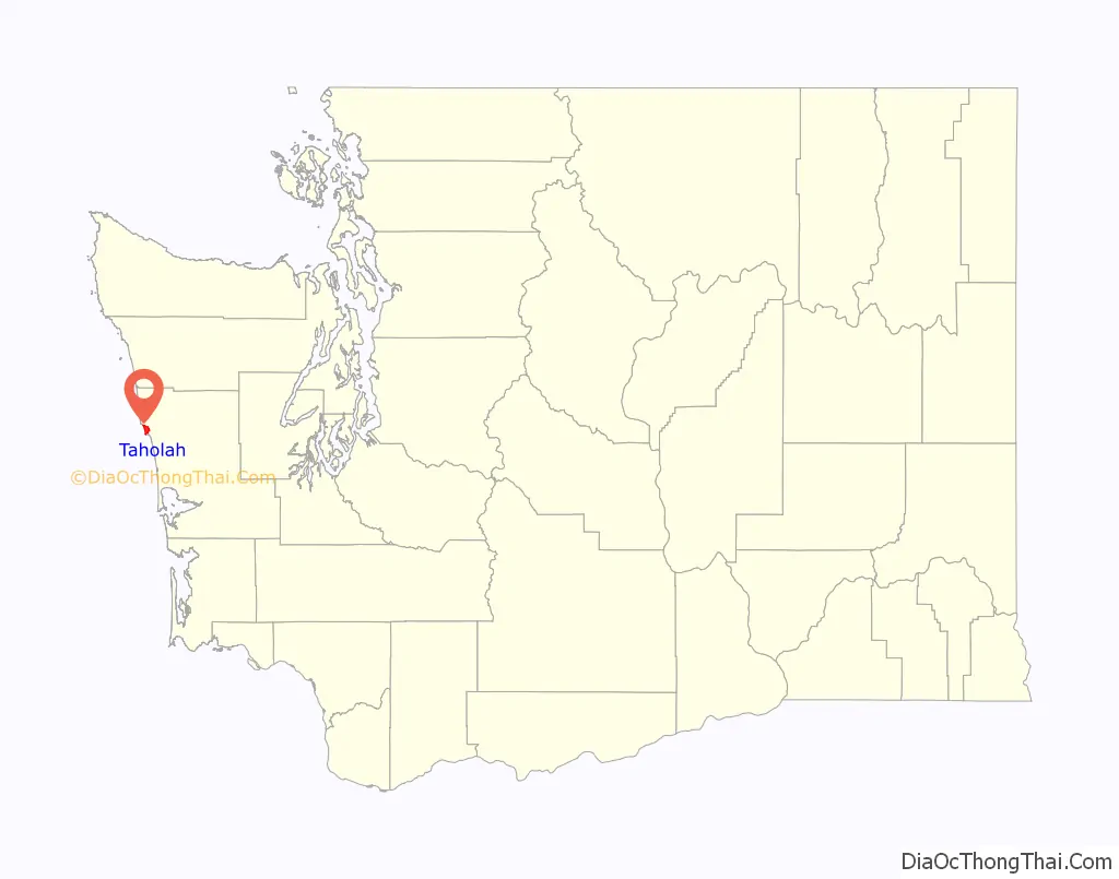
Taholah location map. Where is Taholah CDP?
History
Taholah lies within a tsunami inundation zone and is at risk of flooding from rising sea levels due to climate change. The village has a 2,000-foot (610 m) seawall facing the Pacific Ocean, but it required several repairs due to damage sustained by breaches. In 2015, the tribal government proposed a $60 million plan to relocate the village to an uphill area southeast of the existing village. The relocation plan would first require the acquisition of 246 acres (100 ha) to be allocated to individuals with 175 homes for 129 families from the existing village, followed by the construction of new streets and water facilities. A revised estimate of $150 million for the plan was released in 2017, with construction beginning two years later. The first part of the relocated village, a senior and children center named the Generations Building (WenɑsɡwəllɑʔɑW), opened in May 2021.
Taholah Road Map
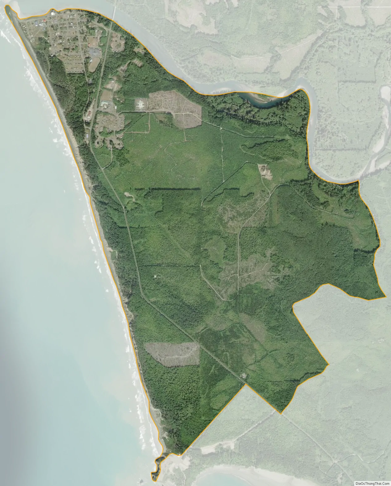
Taholah city Satellite Map
Geography
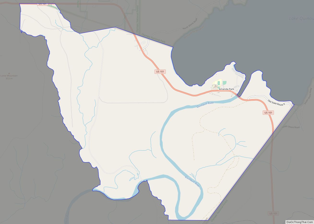
Taholah is located in northwestern Grays Harbor County at 47°20′44″N 124°17′16″W / 47.34556°N 124.28778°W / 47.34556; -124.28778 (47.345610, -124.287767). The Quinault River empties into the Pacific Ocean on the northern edge of Taholah.
Washington State Route 109 has its northern terminus in Taholah; the highway leads south 9 miles (14 km) to Moclips and 41 miles (66 km) to Hoquiam.
According to the United States Census Bureau, the Taholah CDP has a total area of 3.5 square miles (9.1 km), of which 3.5 square miles (9.0 km) are land and 0.1 square miles (0.2 km), or 1.92%, are water.
Climate
The climate in this area has mild differences between highs and lows, and there is adequate rainfall year-round. According to the Köppen Climate Classification system, Taholah has a marine west coast climate, abbreviated “Cfb” on climate maps.
See also
Map of Washington State and its subdivision:- Adams
- Asotin
- Benton
- Chelan
- Clallam
- Clark
- Columbia
- Cowlitz
- Douglas
- Ferry
- Franklin
- Garfield
- Grant
- Grays Harbor
- Island
- Jefferson
- King
- Kitsap
- Kittitas
- Klickitat
- Lewis
- Lincoln
- Mason
- Okanogan
- Pacific
- Pend Oreille
- Pierce
- San Juan
- Skagit
- Skamania
- Snohomish
- Spokane
- Stevens
- Thurston
- Wahkiakum
- Walla Walla
- Whatcom
- Whitman
- Yakima
- Alabama
- Alaska
- Arizona
- Arkansas
- California
- Colorado
- Connecticut
- Delaware
- District of Columbia
- Florida
- Georgia
- Hawaii
- Idaho
- Illinois
- Indiana
- Iowa
- Kansas
- Kentucky
- Louisiana
- Maine
- Maryland
- Massachusetts
- Michigan
- Minnesota
- Mississippi
- Missouri
- Montana
- Nebraska
- Nevada
- New Hampshire
- New Jersey
- New Mexico
- New York
- North Carolina
- North Dakota
- Ohio
- Oklahoma
- Oregon
- Pennsylvania
- Rhode Island
- South Carolina
- South Dakota
- Tennessee
- Texas
- Utah
- Vermont
- Virginia
- Washington
- West Virginia
- Wisconsin
- Wyoming