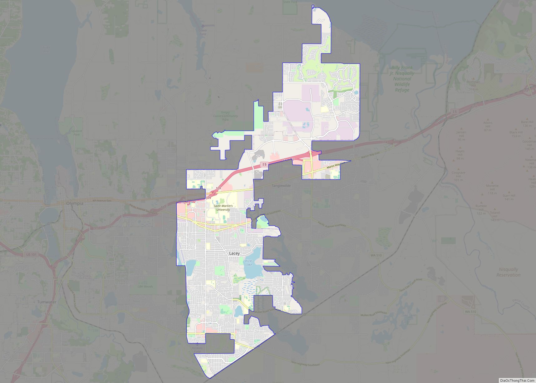
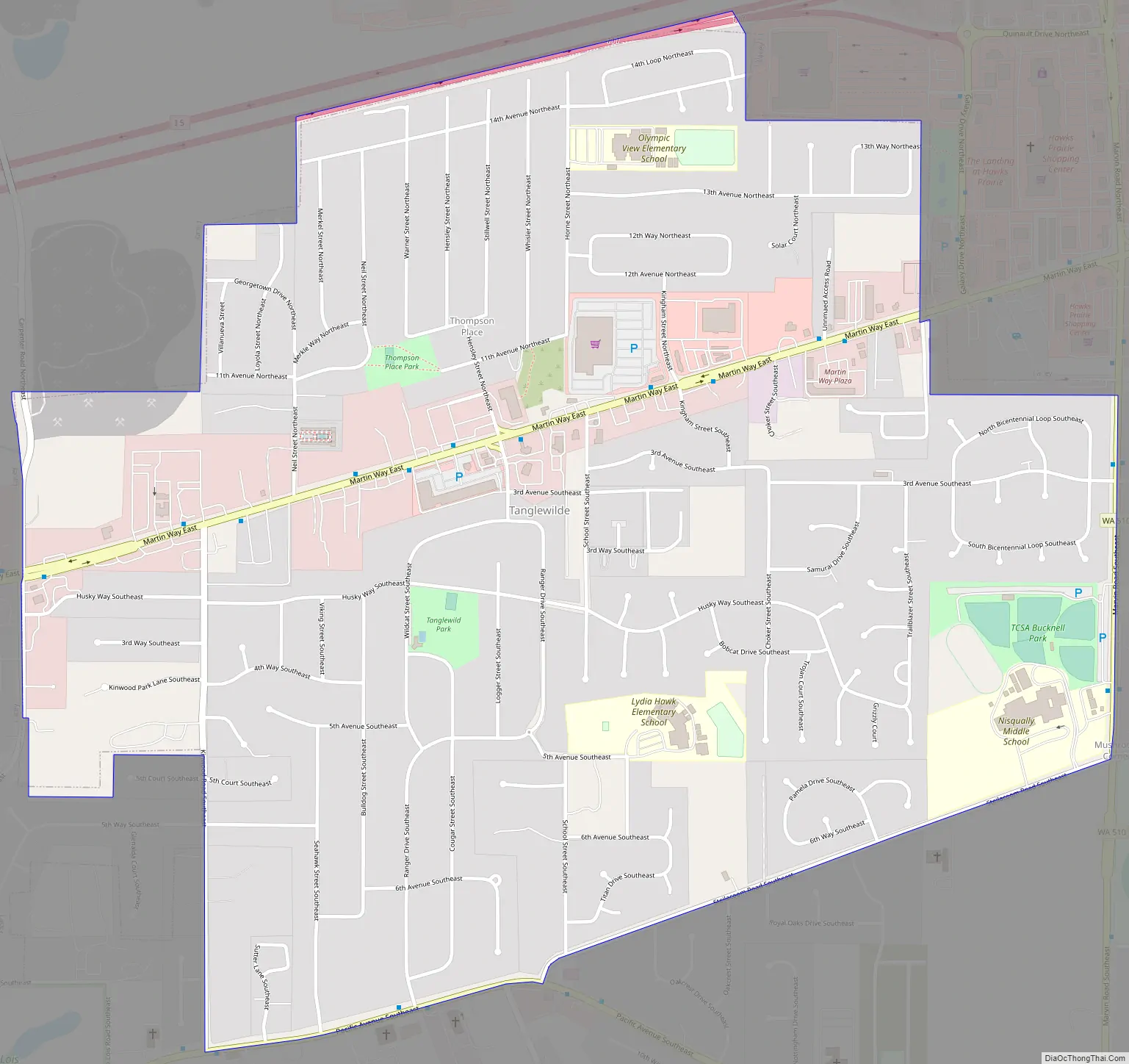
Tanglewilde (also Tanglewilde-Thompson Place) is a census-designated place (CDP) in Thurston County, Washington, United States, part of the Urban Growth Area of the city of Lacey.
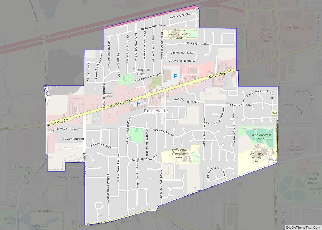
The community is surrounded by the city of Lacey and borders Mushroom Corner. The sections of Tanglewilde and Thompson Place are divided south and north, respectively, by Martin Way. Interstate 5 forms the northern border of the CDP, and Washington State Route 510 partially forms the eastern limits.
| Name: | Tanglewilde CDP |
|---|---|
| LSAD Code: | 57 |
| LSAD Description: | CDP (suffix) |
| State: | Washington |
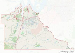
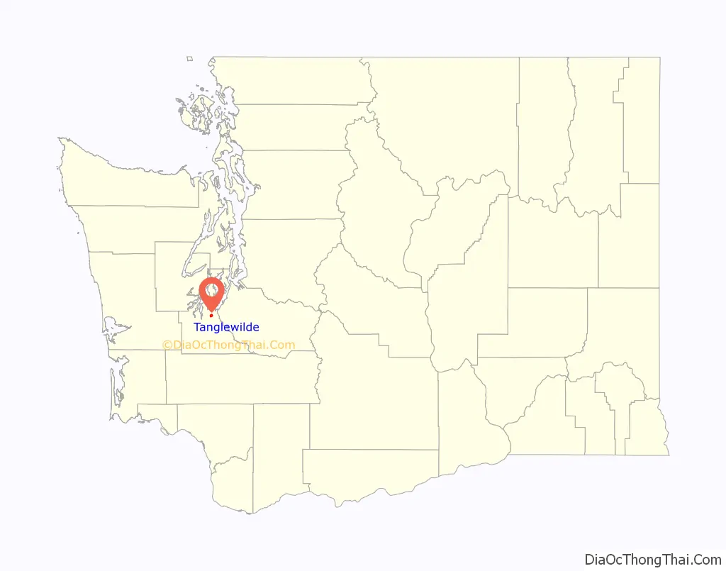
| County: | Thurston County |
| Elevation: | 203 ft (62 m) |
| Total Area: | 1.4 sq mi (3.7 km²) |
| Land Area: | 1.4 sq mi (3.7 km²) |
| Water Area: | 0.0 sq mi (0.0 km²) |
| Total Population: | 6,265 |
| Population Density: | 4,500/sq mi (1,700/km²) |
| ZIP code: | 98503, 98516 |
| Area code: | 360, 564 |
| FIPS code: | 5370280 |
Online Interactive Map
Click on ![]() to view map in "full screen" mode.
to view map in "full screen" mode.
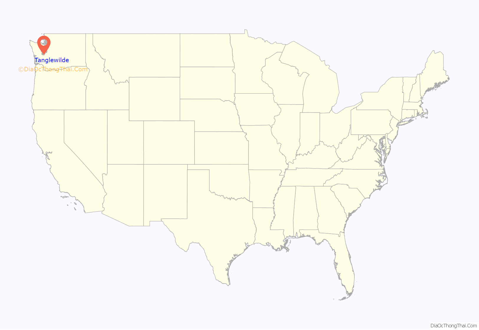
Tanglewilde location map. Where is Tanglewilde CDP?
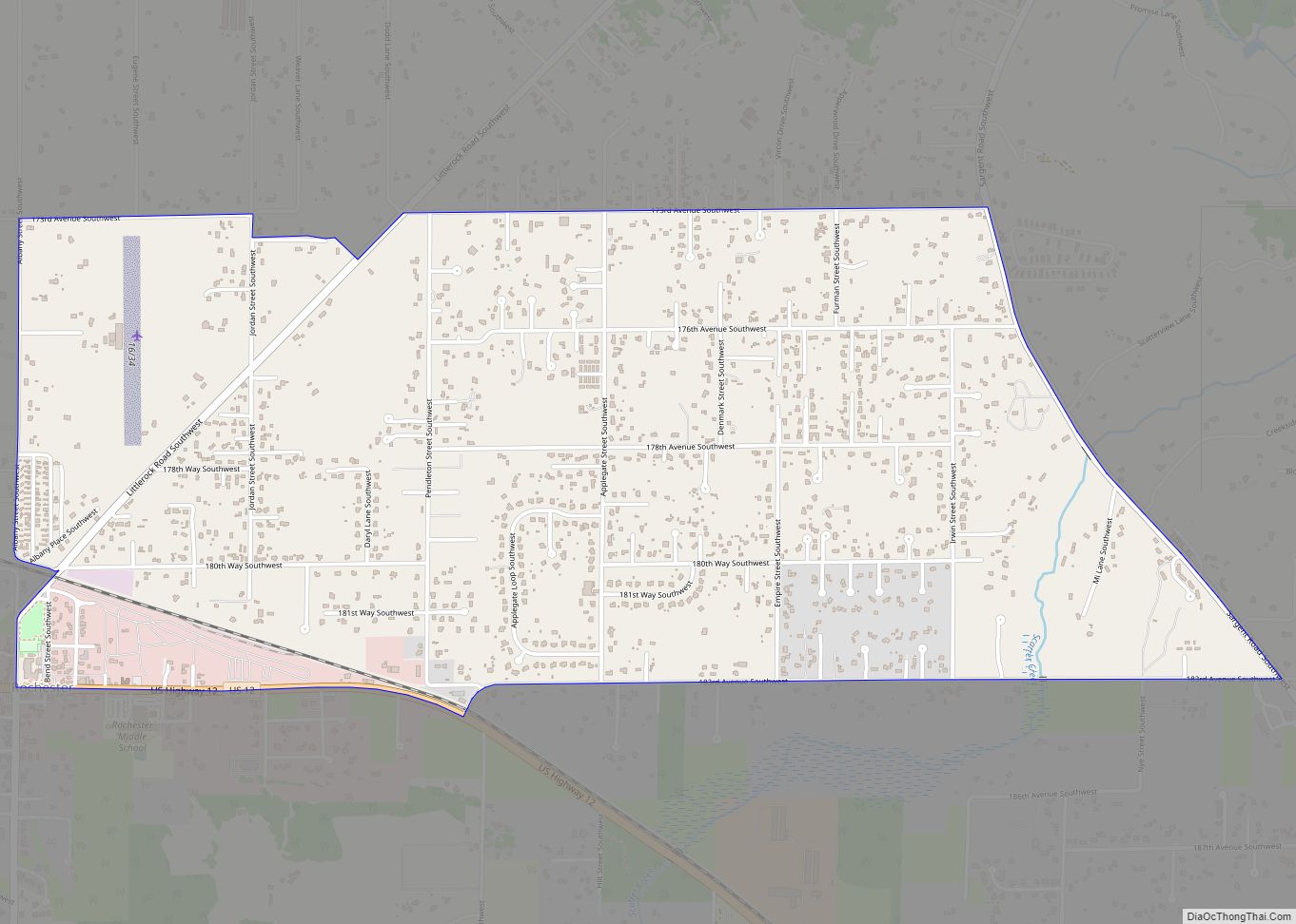
Tanglewilde Road Map
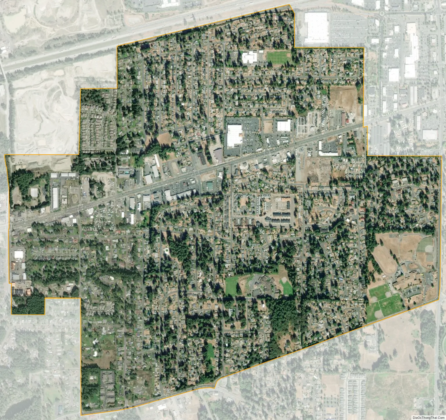
Tanglewilde city Satellite Map
Geography
According to the United States Census Bureau, the CDP has a total area of 1.5 square miles (3.8 km), all of it land.
See also
Map of Washington State and its subdivision:- Adams
- Asotin
- Benton
- Chelan
- Clallam
- Clark
- Columbia
- Cowlitz
- Douglas
- Ferry
- Franklin
- Garfield
- Grant
- Grays Harbor
- Island
- Jefferson
- King
- Kitsap
- Kittitas
- Klickitat
- Lewis
- Lincoln
- Mason
- Okanogan
- Pacific
- Pend Oreille
- Pierce
- San Juan
- Skagit
- Skamania
- Snohomish
- Spokane
- Stevens
- Thurston
- Wahkiakum
- Walla Walla
- Whatcom
- Whitman
- Yakima
- Alabama
- Alaska
- Arizona
- Arkansas
- California
- Colorado
- Connecticut
- Delaware
- District of Columbia
- Florida
- Georgia
- Hawaii
- Idaho
- Illinois
- Indiana
- Iowa
- Kansas
- Kentucky
- Louisiana
- Maine
- Maryland
- Massachusetts
- Michigan
- Minnesota
- Mississippi
- Missouri
- Montana
- Nebraska
- Nevada
- New Hampshire
- New Jersey
- New Mexico
- New York
- North Carolina
- North Dakota
- Ohio
- Oklahoma
- Oregon
- Pennsylvania
- Rhode Island
- South Carolina
- South Dakota
- Tennessee
- Texas
- Utah
- Vermont
- Virginia
- Washington
- West Virginia
- Wisconsin
- Wyoming