Toledo is a city in Lewis County, Washington, United States. The population was 631 at the 2020 census.
| Name: | Toledo city |
|---|---|
| LSAD Code: | 25 |
| LSAD Description: | city (suffix) |
| State: | Washington |
| County: | Lewis County |
| Elevation: | 121 ft (37 m) |
| Total Area: | 0.40 sq mi (1.03 km²) |
| Land Area: | 0.39 sq mi (1.02 km²) |
| Water Area: | 0.00 sq mi (0.01 km²) |
| Total Population: | 631 |
| Population Density: | 1,956.85/sq mi (755.55/km²) |
| ZIP code: | 98591 |
| Area code: | 360 |
| FIPS code: | 5371785 |
| GNISfeature ID: | 1512731 |
| Website: | ToledoWA.US |
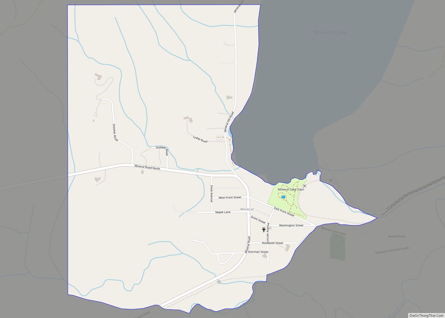
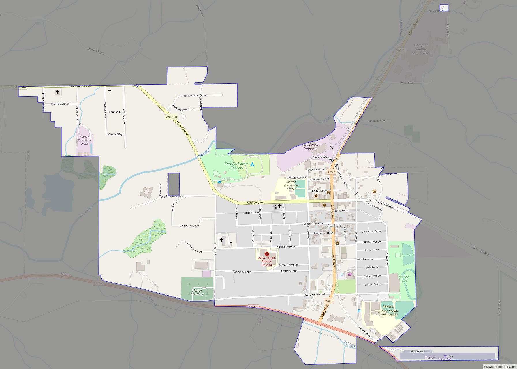
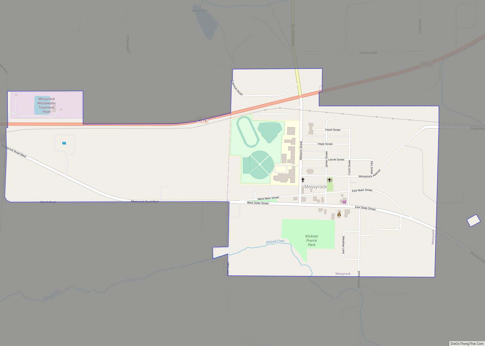
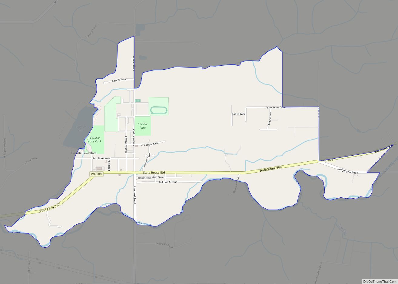
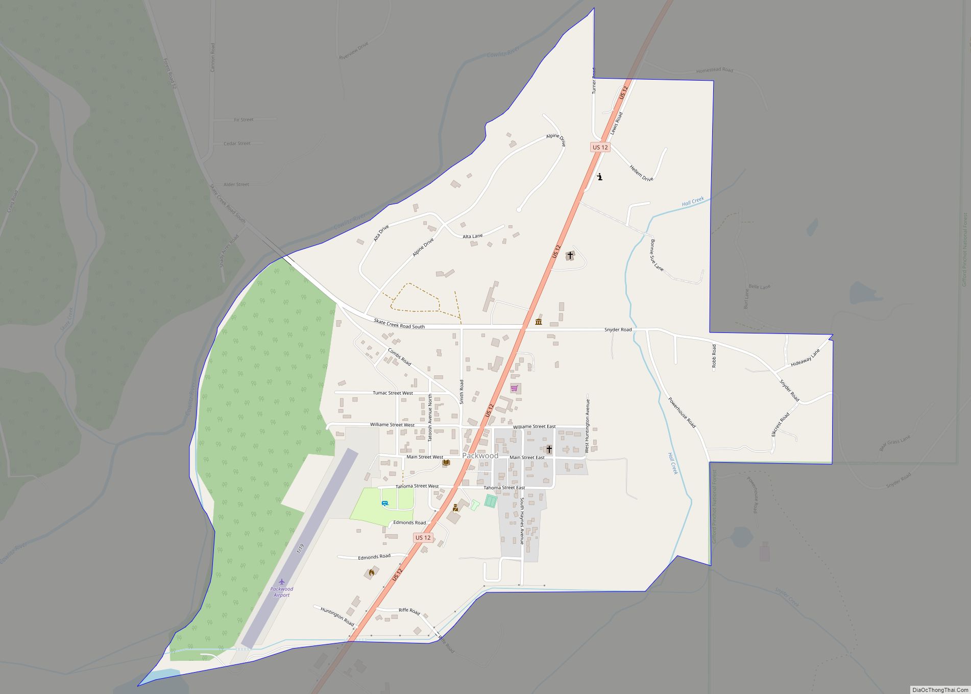
Online Interactive Map
Click on ![]() to view map in "full screen" mode.
to view map in "full screen" mode.
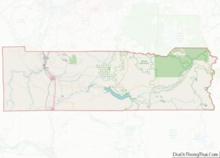
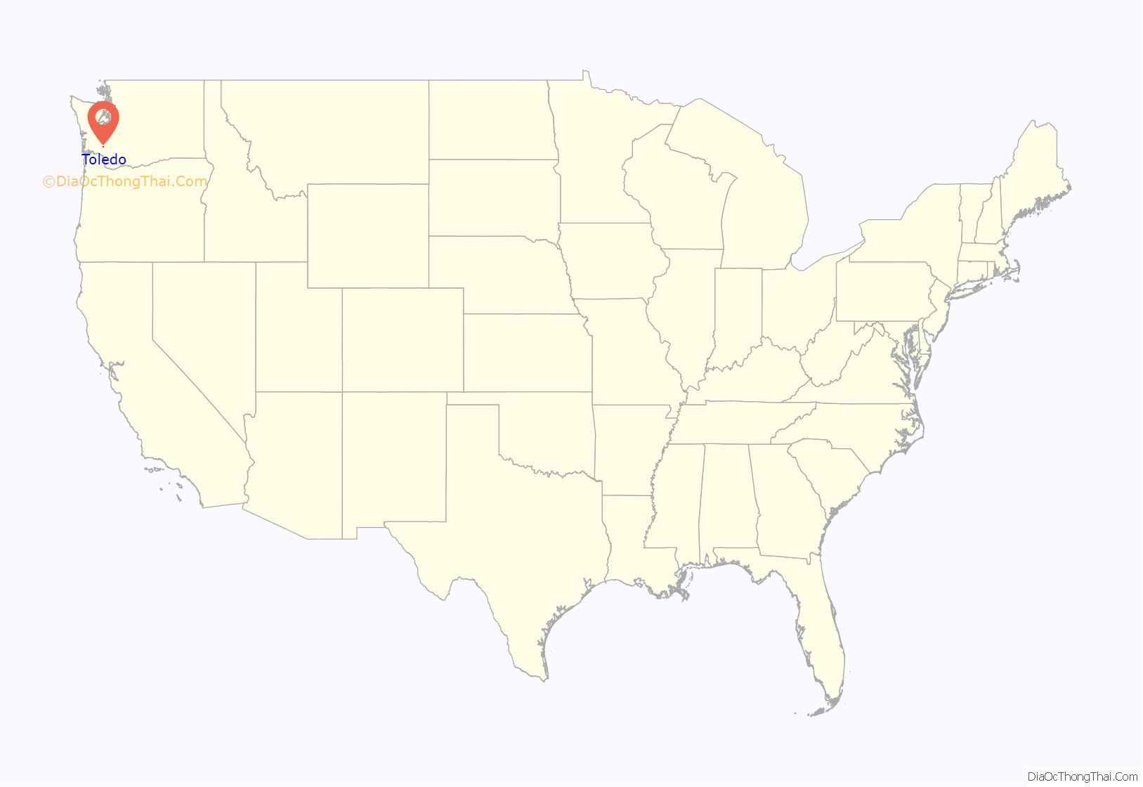
Toledo location map. Where is Toledo city?
History
Toledo was officially incorporated on October 10, 1892. Toledo was named by Celeste Rochon after a pioneer side wheel paddle steamer operated by Captain Oren Kellogg of the Kellogg Transportation Company. The boat traveled the Cowlitz River. A picture of the riverboat is hanging downtown next to the drugstore. However, it wasn’t the first non-Indigenous settlement in Lewis County, as the Pugets Sound Agricultural Company opened and maintained the Cowlitz Farm in 1839, near Toledo.
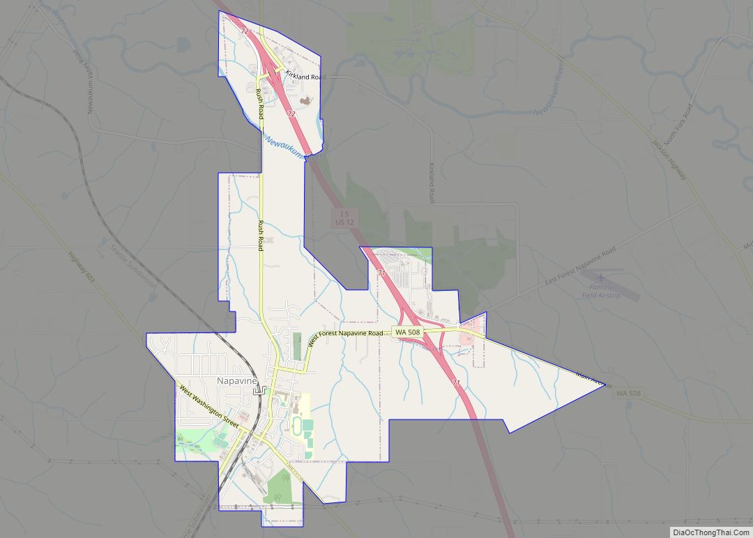
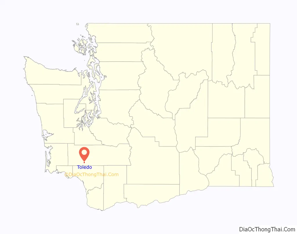
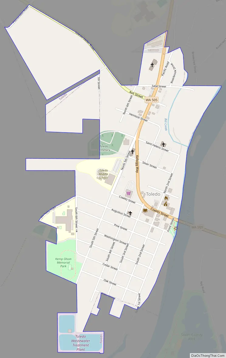
Toledo Road Map
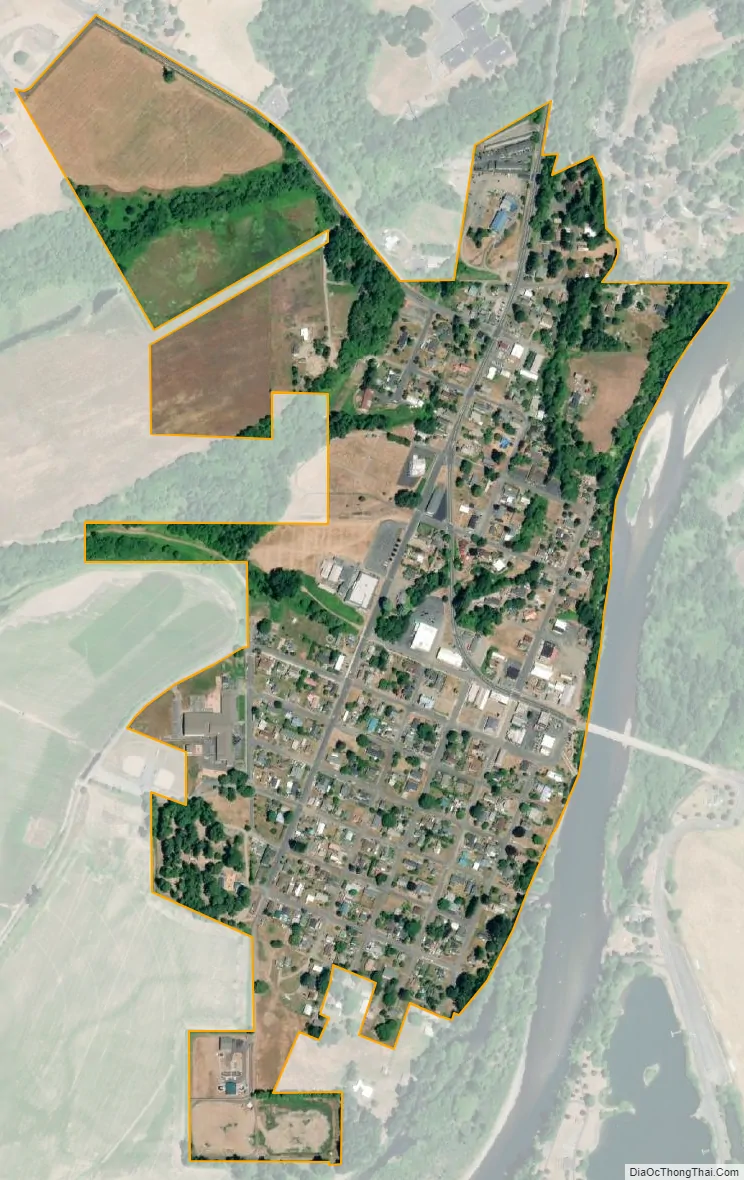
Toledo city Satellite Map
Geography
Toledo is located at 46°26′21″N 122°50′53″W / 46.43917°N 122.84806°W / 46.43917; -122.84806 (46.439283, -122.848191).
According to the United States Census Bureau, the city has a total area of 0.40 square miles (1.04 km), all of it land.
See also
Map of Washington State and its subdivision:- Adams
- Asotin
- Benton
- Chelan
- Clallam
- Clark
- Columbia
- Cowlitz
- Douglas
- Ferry
- Franklin
- Garfield
- Grant
- Grays Harbor
- Island
- Jefferson
- King
- Kitsap
- Kittitas
- Klickitat
- Lewis
- Lincoln
- Mason
- Okanogan
- Pacific
- Pend Oreille
- Pierce
- San Juan
- Skagit
- Skamania
- Snohomish
- Spokane
- Stevens
- Thurston
- Wahkiakum
- Walla Walla
- Whatcom
- Whitman
- Yakima
- Alabama
- Alaska
- Arizona
- Arkansas
- California
- Colorado
- Connecticut
- Delaware
- District of Columbia
- Florida
- Georgia
- Hawaii
- Idaho
- Illinois
- Indiana
- Iowa
- Kansas
- Kentucky
- Louisiana
- Maine
- Maryland
- Massachusetts
- Michigan
- Minnesota
- Mississippi
- Missouri
- Montana
- Nebraska
- Nevada
- New Hampshire
- New Jersey
- New Mexico
- New York
- North Carolina
- North Dakota
- Ohio
- Oklahoma
- Oregon
- Pennsylvania
- Rhode Island
- South Carolina
- South Dakota
- Tennessee
- Texas
- Utah
- Vermont
- Virginia
- Washington
- West Virginia
- Wisconsin
- Wyoming