Tukwila (/tʌkˈwɪlə/ tuk-WIL-ə) is a suburban city in King County, Washington, United States, located immediately to the south of Seattle. The population was 21,798 at the 2020 census.
Tukwila is a community of communities, with residents of many diverse origins living in the city. A large commercial center draws workers and consumers to the city daily; industry thrives with the confluence of rivers, freeways, railroads, and Seattle–Tacoma International Airport.
| Name: | Tukwila city |
|---|---|
| LSAD Code: | 25 |
| LSAD Description: | city (suffix) |
| State: | Washington |
| County: | King County |
| Incorporated: | 1908 |
| Elevation: | 138 ft (42 m) |
| Total Area: | 9.60 sq mi (24.86 km²) |
| Land Area: | 9.19 sq mi (23.79 km²) |
| Water Area: | 0.41 sq mi (1.07 km²) |
| Total Population: | 21,798 |
| Population Density: | 2,215.24/sq mi (855.34/km²) |
| ZIP code: | 98100-98199 |
| Area code: | 206 |
| FIPS code: | 5372625 |
| GNISfeature ID: | 1509106 |
| Website: | tukwilawa.gov |
Online Interactive Map
Click on ![]() to view map in "full screen" mode.
to view map in "full screen" mode.
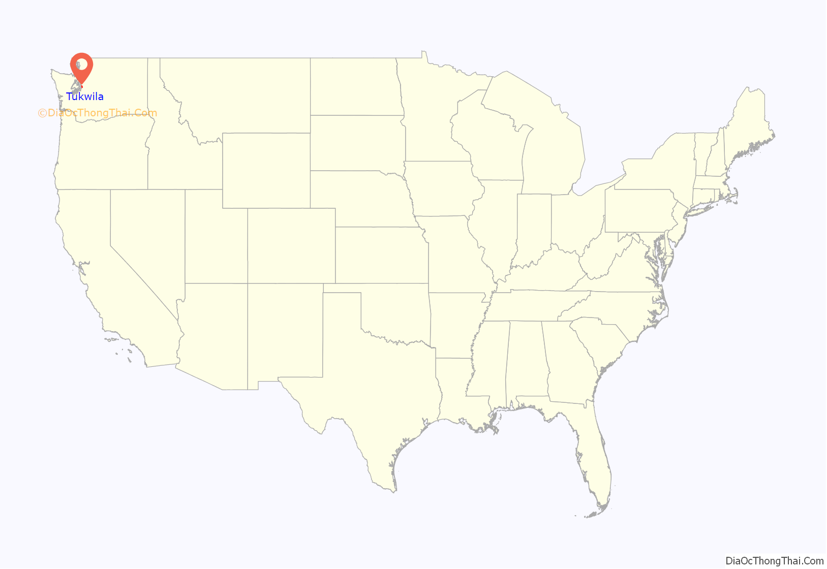
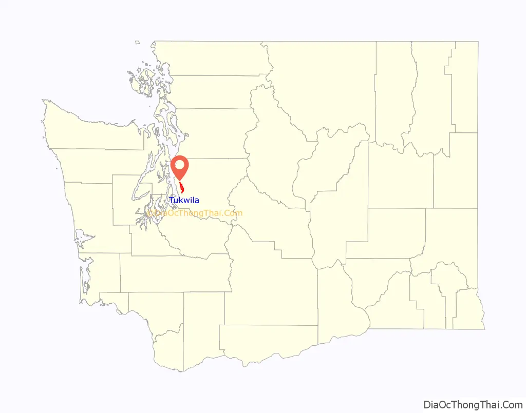
Tukwila location map. Where is Tukwila city?
History
The earliest people in Tukwila were the Duwamish, who made their homes along the Black and Duwamish rivers. The name “Tukwila” is the Chinook Jargon word for “nut” or “hazelnut”, referring to the hazelnut trees that grew in the area. The Duwamish lived in cedar longhouses, hunted and fished, picked wild berries, and used the river for trade with neighboring peoples.
In 1853, the first white settler was Joseph Foster, a Canadian pioneer who had traveled to the Pacific Northwest from Wisconsin. Foster would become known as the “Father of Tukwila” and represented King County in the Washington Territorial Assembly for 22 years. Today, the site of Foster’s home on the banks of the Duwamish River is part of Fort Dent Park, which also served as a military base during the 1850s Indian Wars. Foster’s name is memorialized in the Foster neighborhood of Tukwila, where Foster High School is located.
In the early years, the small village grew into an agricultural center and remained a trading point in the upper Duwamish River Valley. Population began to grow and industry followed, largely farm-oriented commerce. Early electric trains traveled along Interurban Avenue in Tukwila, connecting to Renton and a line to Tacoma. The Interurban Railroad operated a commuter line from 1902 to 1928, making it possible to travel from Seattle to Tacoma in less than an hour. The first macadam paved road in Washington state was in Tukwila and bears the name of this new method of street paving. One of the earliest paved military roads is located in the city.
Tukwila was incorporated as a city in 1908. The city’s first mayor was Joel Shomaker, a newspaperman. Among the city’s first council members was Del Adelphia, a famous magician.
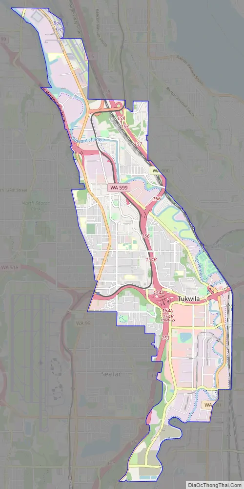
Tukwila Road Map
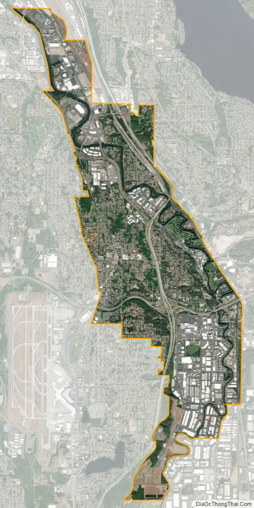
Tukwila city Satellite Map
Geography
Tukwila is located in western King County at 47°28′42″N 122°16′32″W / 47.478243°N 122.275432°W / 47.478243; -122.275432 (47.478243, -122.275432).
According to the United States Census Bureau, the city has a total area of 9.58 square miles (24.81 km), of which 9.17 square miles (23.75 km) are land and 0.41 square miles (1.06 km) are water.
Neighborhoods
Tukwila is divided into several neighborhoods by the city government for planning purposes. The 2015 Comprehensive Land Use Plan identifies them as:
- Allentown
- Cascade View
- Duwamish
- Foster
- Foster Point
- McMicken
- Riverton
- Ryan Hill
- Southcenter (Urban Center)
- Thorndyke
- Tukwila Hill
See also
Map of Washington State and its subdivision:- Adams
- Asotin
- Benton
- Chelan
- Clallam
- Clark
- Columbia
- Cowlitz
- Douglas
- Ferry
- Franklin
- Garfield
- Grant
- Grays Harbor
- Island
- Jefferson
- King
- Kitsap
- Kittitas
- Klickitat
- Lewis
- Lincoln
- Mason
- Okanogan
- Pacific
- Pend Oreille
- Pierce
- San Juan
- Skagit
- Skamania
- Snohomish
- Spokane
- Stevens
- Thurston
- Wahkiakum
- Walla Walla
- Whatcom
- Whitman
- Yakima
- Alabama
- Alaska
- Arizona
- Arkansas
- California
- Colorado
- Connecticut
- Delaware
- District of Columbia
- Florida
- Georgia
- Hawaii
- Idaho
- Illinois
- Indiana
- Iowa
- Kansas
- Kentucky
- Louisiana
- Maine
- Maryland
- Massachusetts
- Michigan
- Minnesota
- Mississippi
- Missouri
- Montana
- Nebraska
- Nevada
- New Hampshire
- New Jersey
- New Mexico
- New York
- North Carolina
- North Dakota
- Ohio
- Oklahoma
- Oregon
- Pennsylvania
- Rhode Island
- South Carolina
- South Dakota
- Tennessee
- Texas
- Utah
- Vermont
- Virginia
- Washington
- West Virginia
- Wisconsin
- Wyoming


