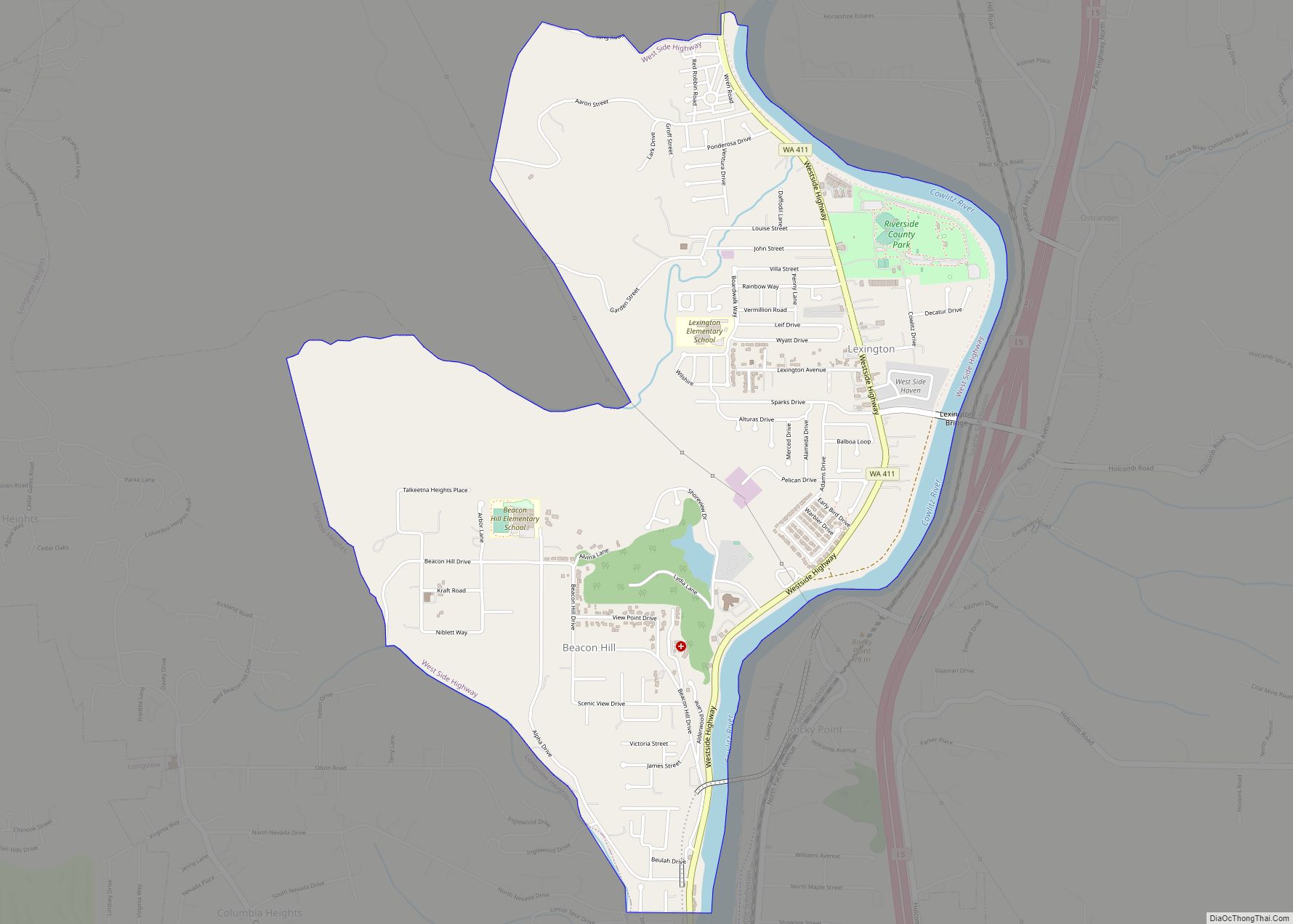
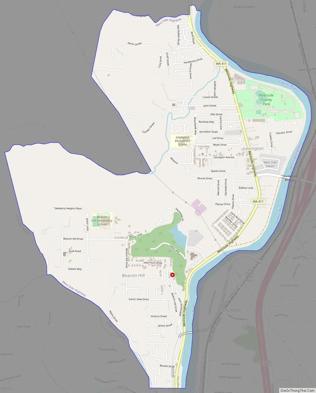
West Side Highway was a census-designated place (CDP) in Cowlitz County, Washington, named after a state highway (SR 411) running north–south between Longview and Castle Rock. As of the 2010 census, the CDP population was 5,517. Prior to the 2020 census, the CDP was split into two new CDPs, Beacon Hill and Lexington.
| Name: | West Side Highway CDP |
|---|---|
| LSAD Code: | 57 |
| LSAD Description: | CDP (suffix) |
| State: | Washington |
| County: | Cowlitz County |
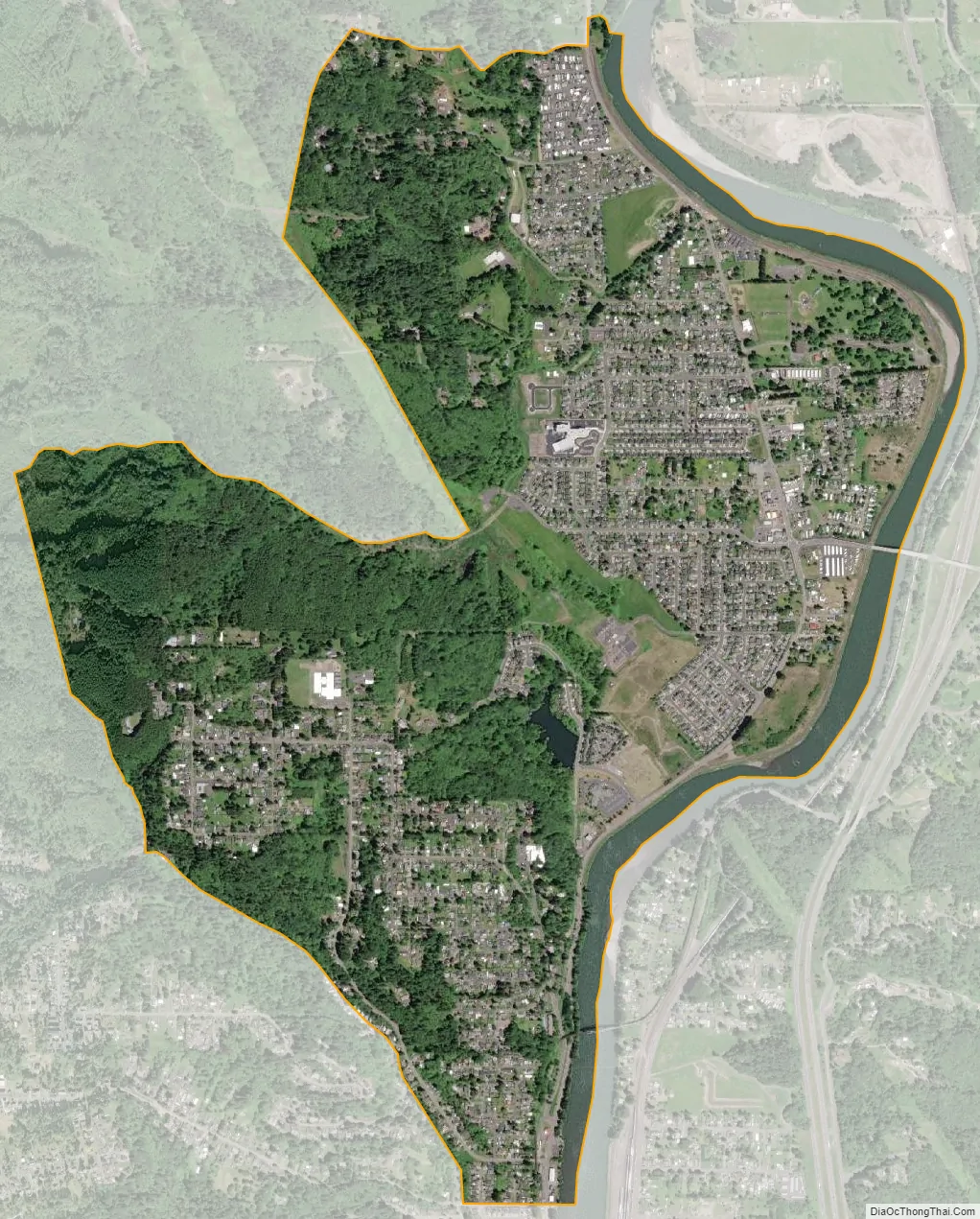
| Total Area: | 2.7 sq mi (6.9 km²) |
| Land Area: | 2.5 sq mi (6.5 km²) |
| Water Area: | 0.2 sq mi (0.4 km²) |
| Total Population: | 5,517 |
| Population Density: | 2,206.8/sq mi (848.8/km²) |
| FIPS code: | 5377745 |
Online Interactive Map
Click on ![]() to view map in "full screen" mode.
to view map in "full screen" mode.
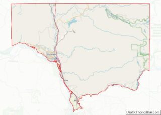
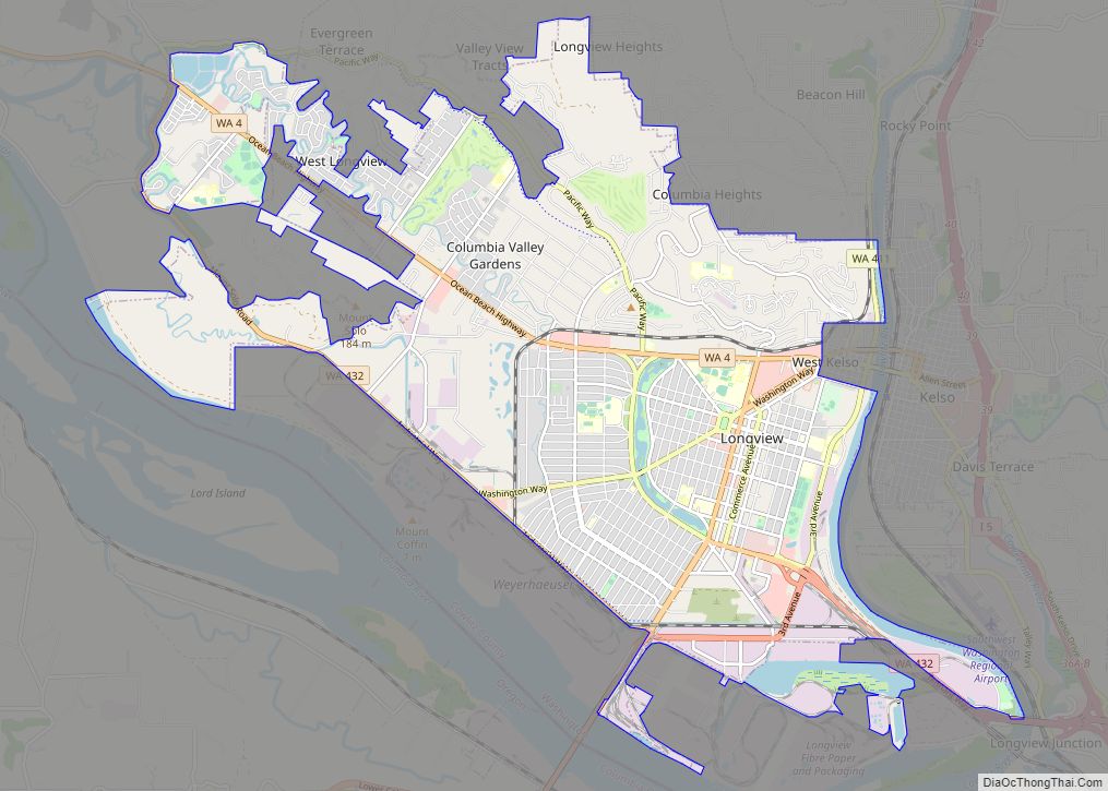
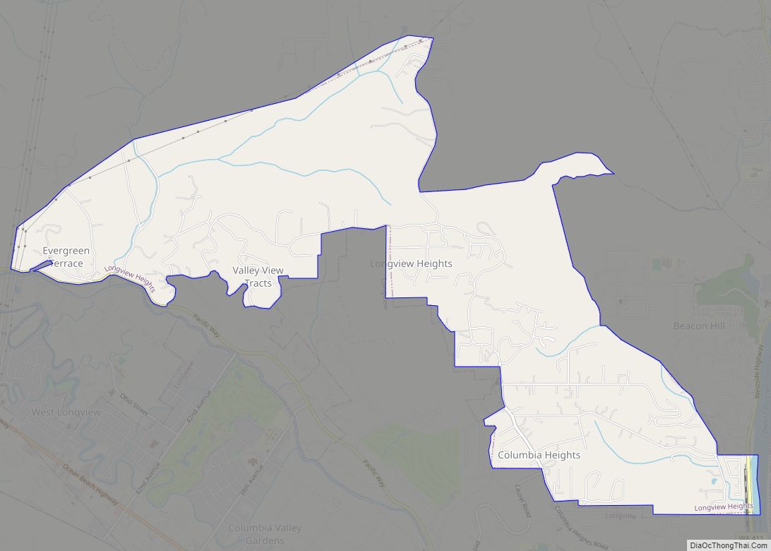
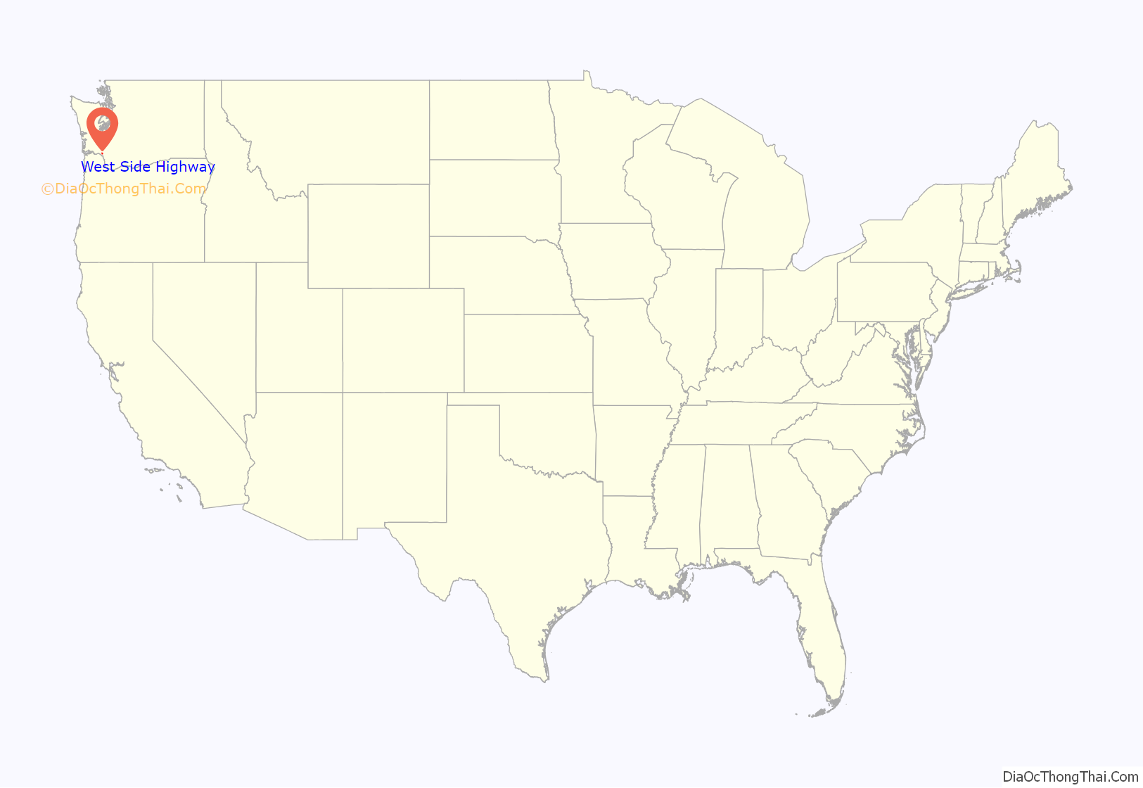
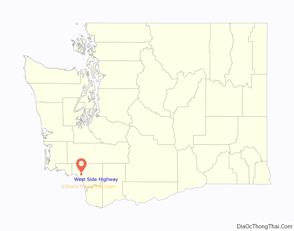
West Side Highway location map. Where is West Side Highway CDP?
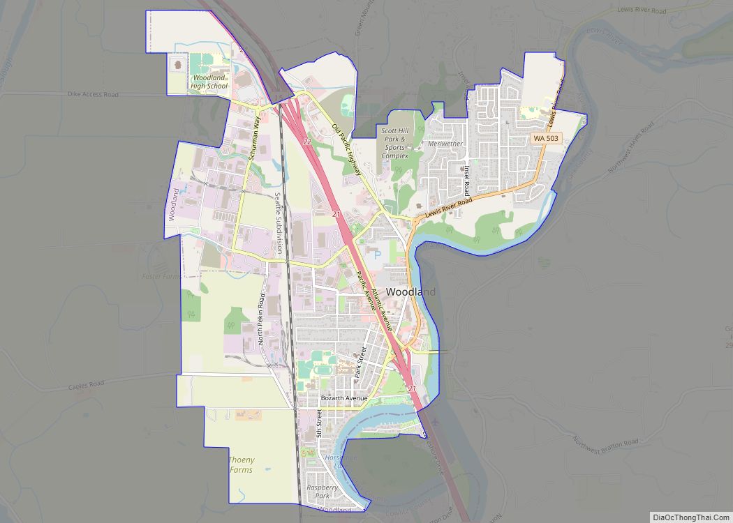
West Side Highway Road Map
West Side Highway city Satellite Map
Geography
The West Side Highway was located at 46°11′9″N 122°54′56″W / 46.18583°N 122.91556°W / 46.18583; -122.91556 (46.185921, -122.915505).
According to the United States Census Bureau, the CDP had a total area of 2.7 square miles (6.9 km), of which, 2.5 square miles (6.5 km) were land and 0.2 square miles (0.4 km) (6.01%) were water.
See also
Map of Washington State and its subdivision:- Adams
- Asotin
- Benton
- Chelan
- Clallam
- Clark
- Columbia
- Cowlitz
- Douglas
- Ferry
- Franklin
- Garfield
- Grant
- Grays Harbor
- Island
- Jefferson
- King
- Kitsap
- Kittitas
- Klickitat
- Lewis
- Lincoln
- Mason
- Okanogan
- Pacific
- Pend Oreille
- Pierce
- San Juan
- Skagit
- Skamania
- Snohomish
- Spokane
- Stevens
- Thurston
- Wahkiakum
- Walla Walla
- Whatcom
- Whitman
- Yakima
- Alabama
- Alaska
- Arizona
- Arkansas
- California
- Colorado
- Connecticut
- Delaware
- District of Columbia
- Florida
- Georgia
- Hawaii
- Idaho
- Illinois
- Indiana
- Iowa
- Kansas
- Kentucky
- Louisiana
- Maine
- Maryland
- Massachusetts
- Michigan
- Minnesota
- Mississippi
- Missouri
- Montana
- Nebraska
- Nevada
- New Hampshire
- New Jersey
- New Mexico
- New York
- North Carolina
- North Dakota
- Ohio
- Oklahoma
- Oregon
- Pennsylvania
- Rhode Island
- South Carolina
- South Dakota
- Tennessee
- Texas
- Utah
- Vermont
- Virginia
- Washington
- West Virginia
- Wisconsin
- Wyoming