White Swan is a census-designated place (CDP) in Yakima County, Washington, United States. The population was 3,033 at the 2000 census.
| Name: | White Swan CDP |
|---|---|
| LSAD Code: | 57 |
| LSAD Description: | CDP (suffix) |
| State: | Washington |
| County: | Yakima County |
| Elevation: | 968 ft (295 m) |
| Total Area: | 103.3 sq mi (267.6 km²) |
| Land Area: | 103.3 sq mi (267.6 km²) |
| Water Area: | 0.0 sq mi (0.0 km²) |
| Total Population: | 793 |
| Population Density: | 29.4/sq mi (11.3/km²) |
| ZIP code: | 98952 |
| Area code: | 509 |
| FIPS code: | 5378365 |
| GNISfeature ID: | 2409586 |
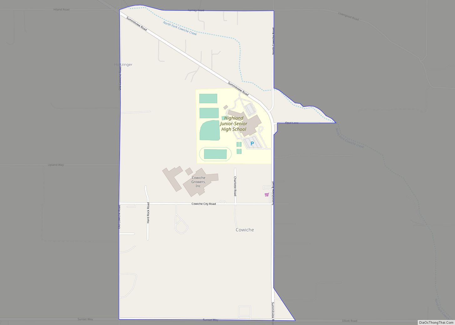
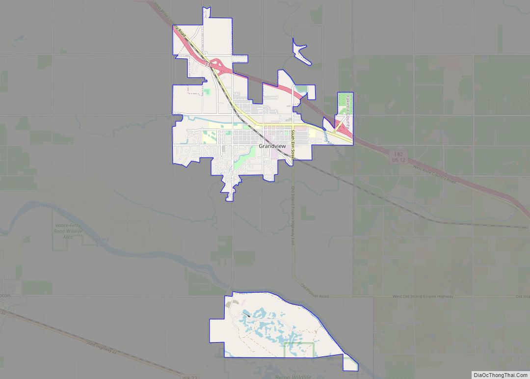
Online Interactive Map
Click on ![]() to view map in "full screen" mode.
to view map in "full screen" mode.
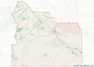
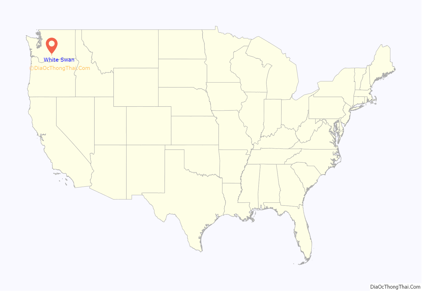
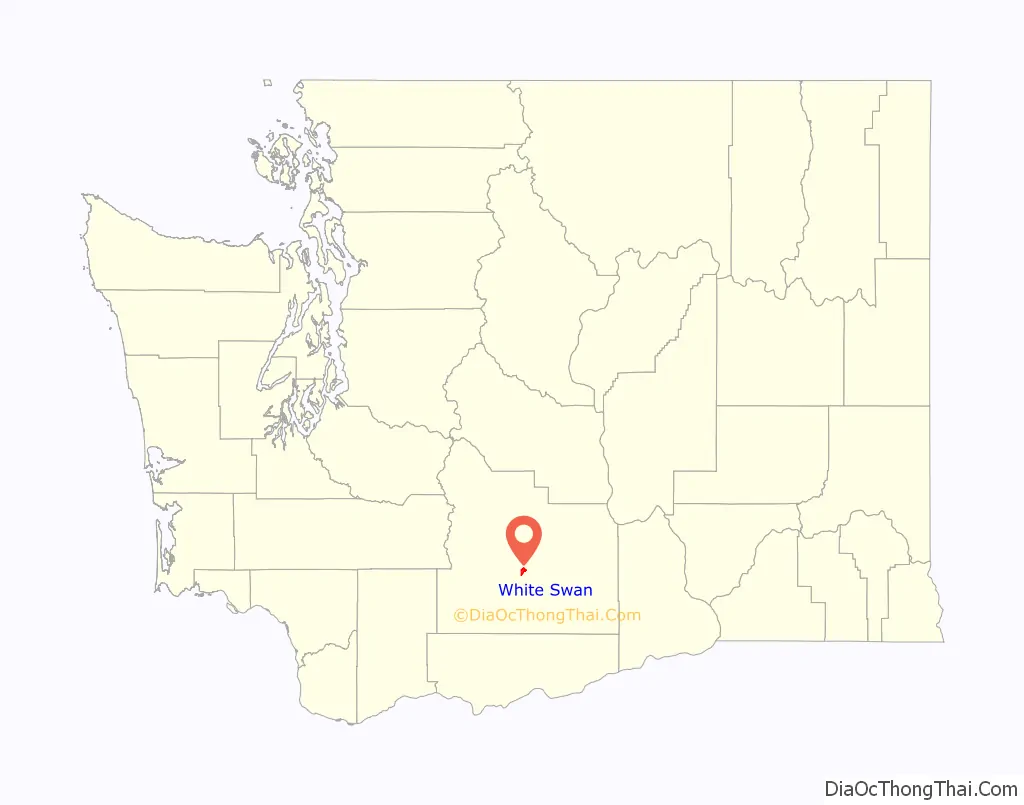
White Swan location map. Where is White Swan CDP?
History
White Swan is an unincorporated community located on the Yakama Indian Reservation, presumably named after Chief White Swan of the Yakamas around the start of the 20th century. The town was on the Mt Adams Highway (an overland road between Yakima and The Dalles beginning in the 1850s) between Union Gap and Fort Simcoe. In September 1921, the Christian Church (Disciples of Christ) opened the Yakima Indian Christian Mission. In 1967, the former childcare facilities of the Mission were leased to the Sundown M Corporation. Using the registered cattle brand of the Mission (from the years it owned cattle), the Sundown M Ranch began serving recovering alcoholics in 1968. Pacific Power & Light Company first brought electricity to the community in 1928. The White Swan Library (a branch of the Yakima Valley Regional library) was established in 1947. It was moved to a donated facility in 1969 where it stands today. White Swan is part of the Mt Adams School District #209, and home of White Swan High School. The town has never been formally incorporated.
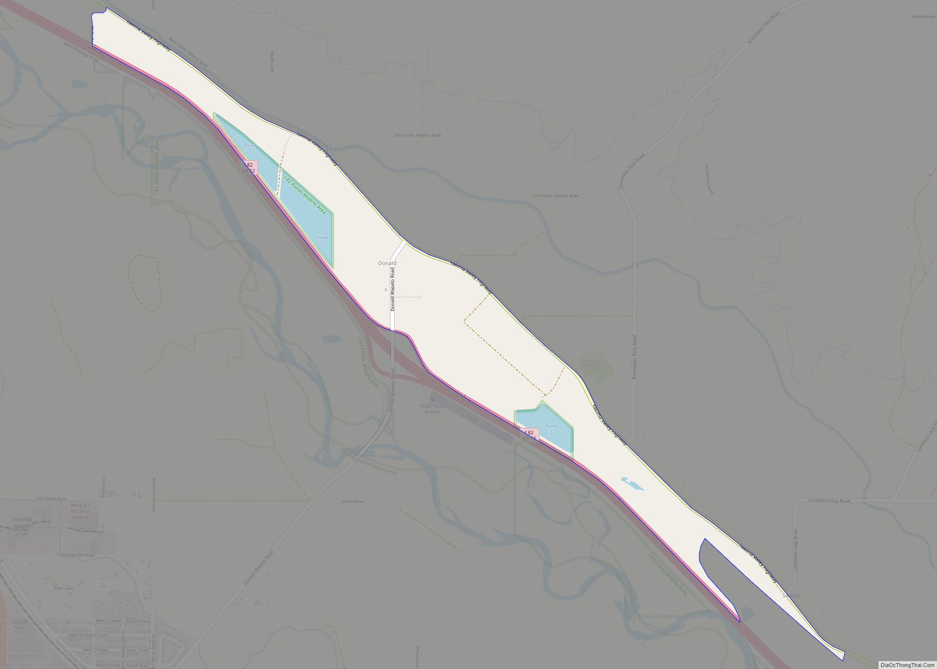
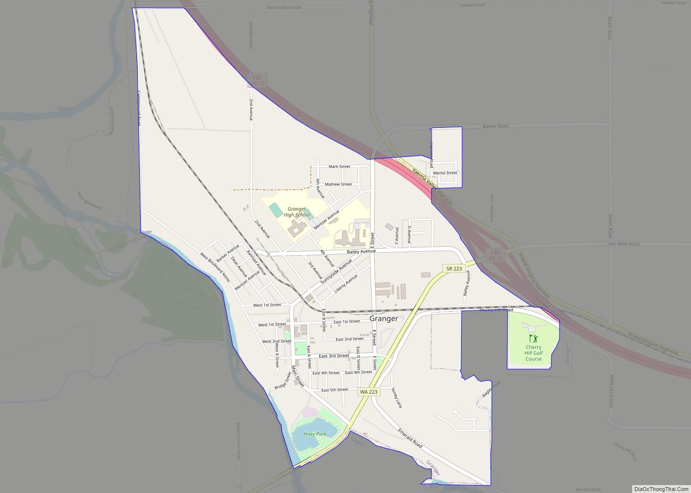
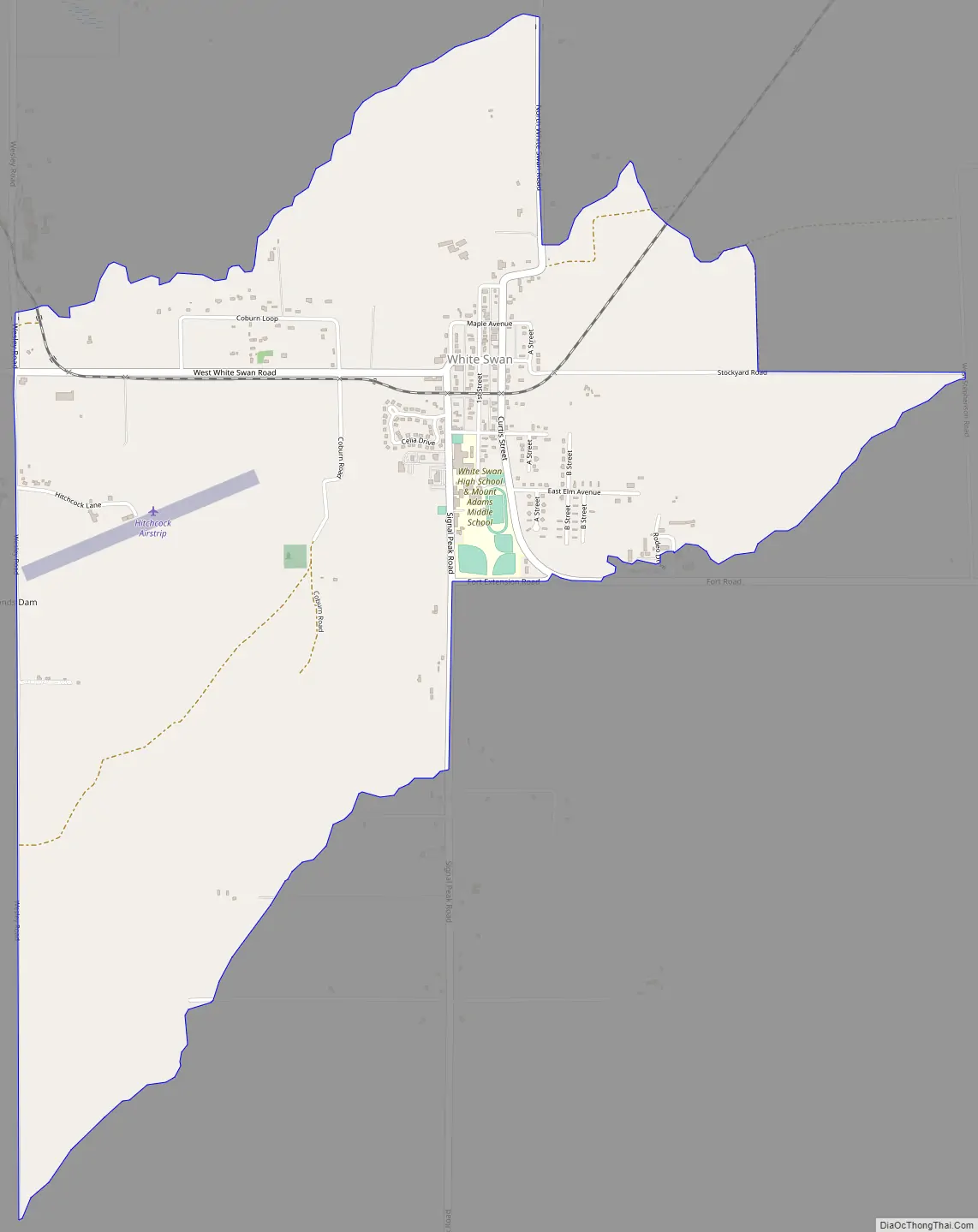
White Swan Road Map
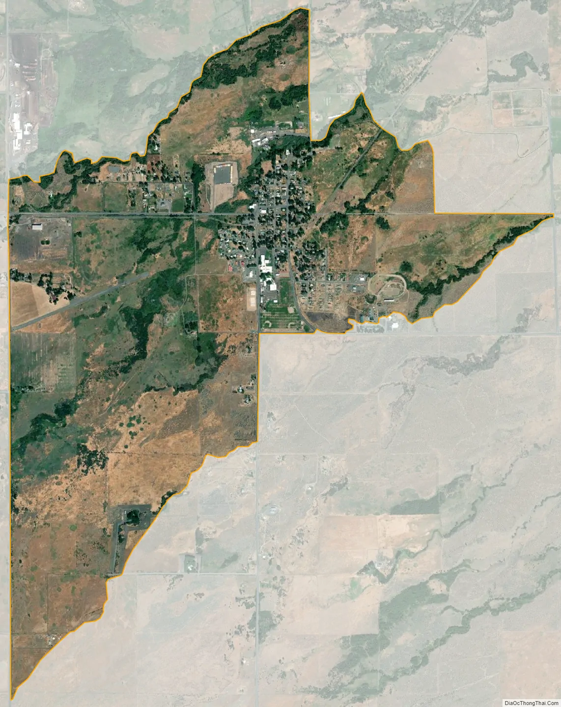
White Swan city Satellite Map
Geography
White Swan is located at 46°23′40″N 120°42′11″W / 46.39444°N 120.70306°W / 46.39444; -120.70306 (46.394444, -120.702958).
According to the United States Census Bureau, the CDP has a total area of 103.3 square miles (267.6 km), all of it land.
Climate
This region experiences warm (but not hot) and dry summers, with no average monthly temperatures above 71.6 °F. According to the Köppen Climate Classification system, White Swan has a warm-summer Mediterranean climate, abbreviated “Csb” on climate maps.
See also
Map of Washington State and its subdivision:- Adams
- Asotin
- Benton
- Chelan
- Clallam
- Clark
- Columbia
- Cowlitz
- Douglas
- Ferry
- Franklin
- Garfield
- Grant
- Grays Harbor
- Island
- Jefferson
- King
- Kitsap
- Kittitas
- Klickitat
- Lewis
- Lincoln
- Mason
- Okanogan
- Pacific
- Pend Oreille
- Pierce
- San Juan
- Skagit
- Skamania
- Snohomish
- Spokane
- Stevens
- Thurston
- Wahkiakum
- Walla Walla
- Whatcom
- Whitman
- Yakima
- Alabama
- Alaska
- Arizona
- Arkansas
- California
- Colorado
- Connecticut
- Delaware
- District of Columbia
- Florida
- Georgia
- Hawaii
- Idaho
- Illinois
- Indiana
- Iowa
- Kansas
- Kentucky
- Louisiana
- Maine
- Maryland
- Massachusetts
- Michigan
- Minnesota
- Mississippi
- Missouri
- Montana
- Nebraska
- Nevada
- New Hampshire
- New Jersey
- New Mexico
- New York
- North Carolina
- North Dakota
- Ohio
- Oklahoma
- Oregon
- Pennsylvania
- Rhode Island
- South Carolina
- South Dakota
- Tennessee
- Texas
- Utah
- Vermont
- Virginia
- Washington
- West Virginia
- Wisconsin
- Wyoming