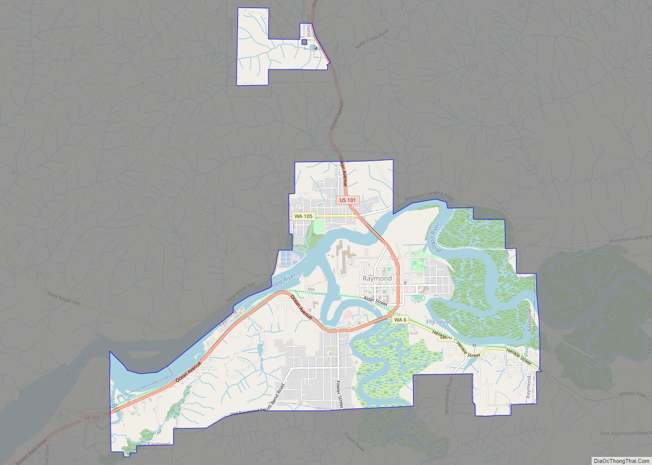
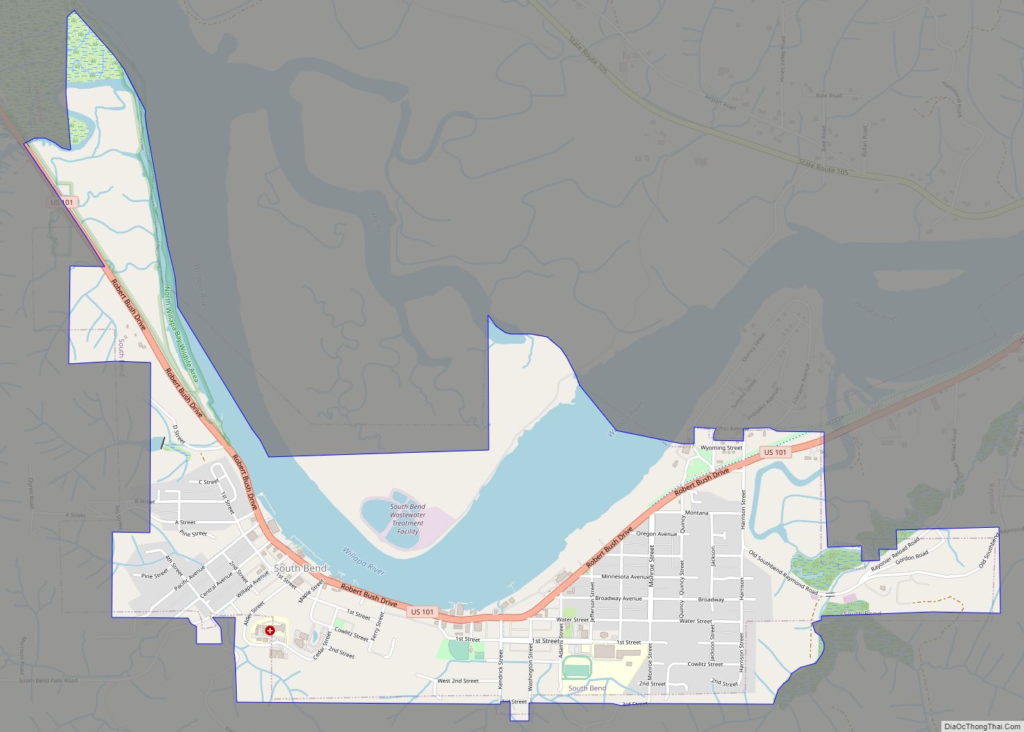
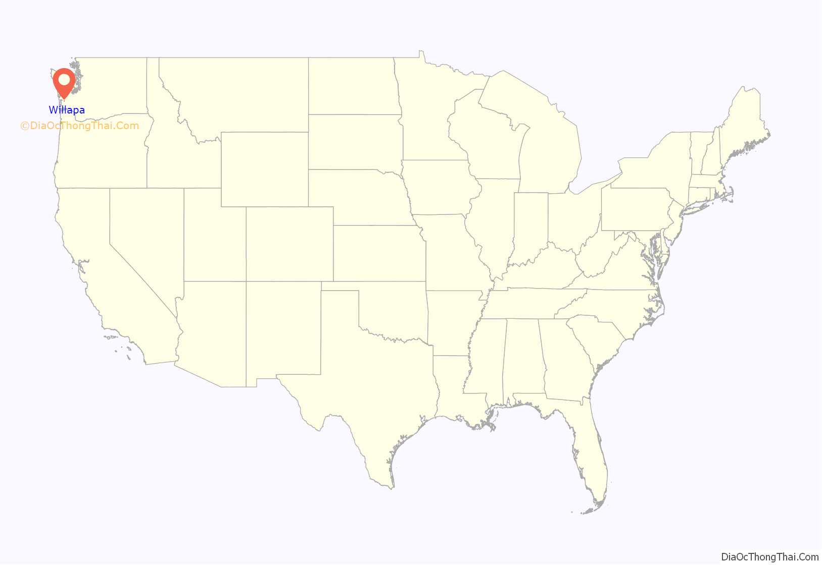
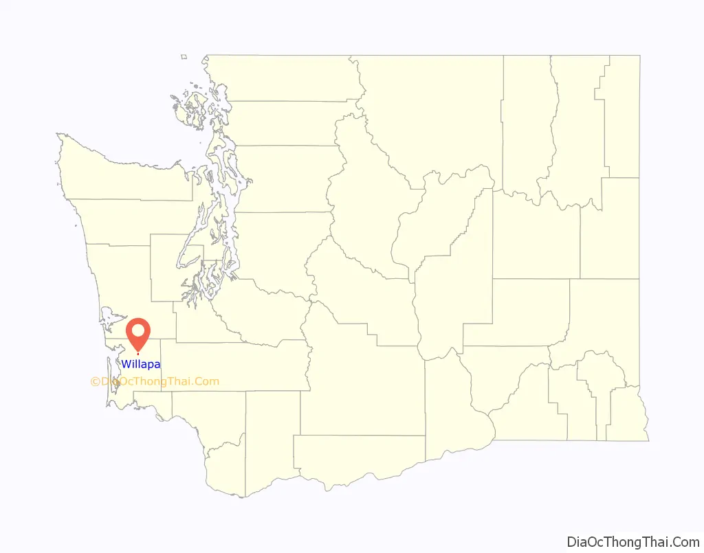
Willapa is a census-designated place (CDP) in Pacific County, Washington, east of the city of Raymond. The population was 210 as of the 2010 census. The name comes from that of the Willapa people, an Athapaskan-speaking people, now extinct, who occupied the Willapa River valley, which was similarly named after the Willapa people, along which the census-designated place Willapa is located.
| Name: | Willapa CDP |
|---|---|
| LSAD Code: | 57 |
| LSAD Description: | CDP (suffix) |
| State: | Washington |
| County: | Pacific County |
| Elevation: | 30 ft (9 m) |
| Total Area: | 0.278 sq mi (0.720 km²) |
| Land Area: | 0.278 sq mi (0.720 km²) |
| Water Area: | 0.000 sq mi (0.000 km²) 0.00% |
| Total Population: | 210 |
| ZIP code: | 98577 |
| Area code: | 360 |
| FIPS code: | 5378995 |
| GNISfeature ID: | 2586751 |
Online Interactive Map
Click on ![]() to view map in "full screen" mode.
to view map in "full screen" mode.
Willapa location map. Where is Willapa CDP?
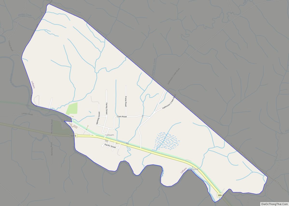
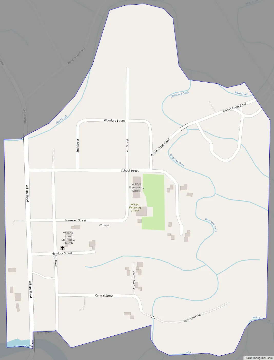
Willapa Road Map
Willapa city Satellite Map
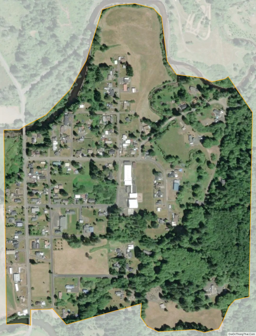
Geography
Willapa is located at 46°40′32″N 123°39′53″W / 46.67556°N 123.66472°W / 46.67556; -123.66472 (46.6754474, -123.6647525).
According to the United States Census Bureau, the CDP has a total area of 0.28 square miles (0.73 km), of which all of it (100.0%) is land and none of it (0.0%) is water.
See also
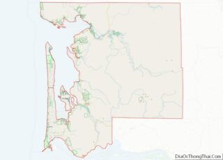
Map of Washington State and its subdivision:- Adams
- Asotin
- Benton
- Chelan
- Clallam
- Clark
- Columbia
- Cowlitz
- Douglas
- Ferry
- Franklin
- Garfield
- Grant
- Grays Harbor
- Island
- Jefferson
- King
- Kitsap
- Kittitas
- Klickitat
- Lewis
- Lincoln
- Mason
- Okanogan
- Pacific
- Pend Oreille
- Pierce
- San Juan
- Skagit
- Skamania
- Snohomish
- Spokane
- Stevens
- Thurston
- Wahkiakum
- Walla Walla
- Whatcom
- Whitman
- Yakima
- Alabama
- Alaska
- Arizona
- Arkansas
- California
- Colorado
- Connecticut
- Delaware
- District of Columbia
- Florida
- Georgia
- Hawaii
- Idaho
- Illinois
- Indiana
- Iowa
- Kansas
- Kentucky
- Louisiana
- Maine
- Maryland
- Massachusetts
- Michigan
- Minnesota
- Mississippi
- Missouri
- Montana
- Nebraska
- Nevada
- New Hampshire
- New Jersey
- New Mexico
- New York
- North Carolina
- North Dakota
- Ohio
- Oklahoma
- Oregon
- Pennsylvania
- Rhode Island
- South Carolina
- South Dakota
- Tennessee
- Texas
- Utah
- Vermont
- Virginia
- Washington
- West Virginia
- Wisconsin
- Wyoming