Woodway is a city in Snohomish County, Washington, United States. The population was 1,307 at the 2010 census.
Based on per capita income, one of the more reliable measures of affluence, Woodway ranks 6th of 522 areas in the state of Washington to be ranked. It is also the highest rank achieved in Snohomish County.
| Name: | Woodway city |
|---|---|
| LSAD Code: | 25 |
| LSAD Description: | city (suffix) |
| State: | Washington |
| County: | Snohomish County |
| Incorporated: | 1958 |
| Elevation: | 203 ft (62 m) |
| Total Area: | 1.43 sq mi (3.71 km²) |
| Land Area: | 1.17 sq mi (3.03 km²) |
| Water Area: | 0.26 sq mi (0.68 km²) |
| Total Population: | 1,307 |
| Population Density: | 1,190.92/sq mi (459.81/km²) |
| ZIP code: | 98020 |
| FIPS code: | 5379835 |
| GNISfeature ID: | 1512815 |
| Website: | townofwoodway.com |
Online Interactive Map
Click on ![]() to view map in "full screen" mode.
to view map in "full screen" mode.
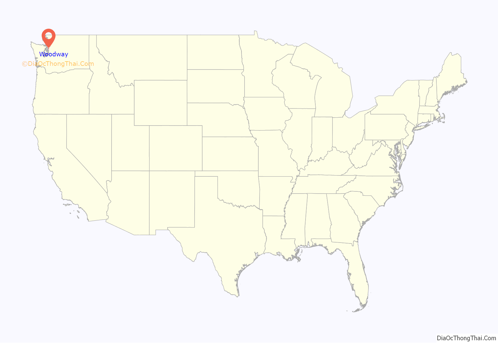
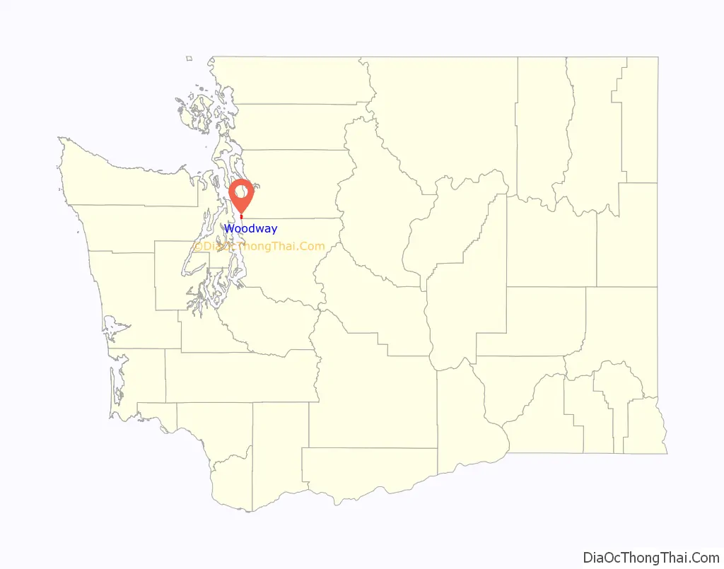
Woodway location map. Where is Woodway city?
History
The community was founded in 1914 by attorney turned real estate developer David Whitcomb, who acquired 320 acres (130 ha) and began developing “Woodway Park”. The city includes areas north and south of the original Woodway Park which offer one third acre lots and 1-acre (4,000 m) lots in addition to the 2-acre (8,100 m) lots in the park where the original secluded, wooded environment remains.
Woodway was officially incorporated on February 26, 1958, in an effort to protect the heavily forested area from development and avoid annexation by Edmonds. Lot sizes were deed restricted to a minimum of 2 acres (8,100 m) and also mandated nunneries for lots larger than 10 acres (4.0 ha). The city was named for its natural setting by a real estate developer. At that time, Woodway high school students attended the old Edmonds High school until the new Woodway High School was opened in 1970. In 1990, this school merged with Edmonds High School to create Edmonds Woodway High School.
Woodway became a city in 1986 but continues to use the Edmonds post office. Well into the 1980s, the city lacked businesses, sidewalks, and parks; it was almost entirely zoned for single-family homes, which were among the most expensive in Snohomish County. Its first major development since incorporation, the 94-home Woodway Highlands, was approved in 1999 following disputes between residents and the Central Puget Sound Growth Management Hearings Board. Its first homes were completed in 2003. As of 2021, no part of Woodway is zoned for commercial use.
Woodway is the only city in Snohomish County in area code 206, but some areas were switched to area code 425 in 1997.
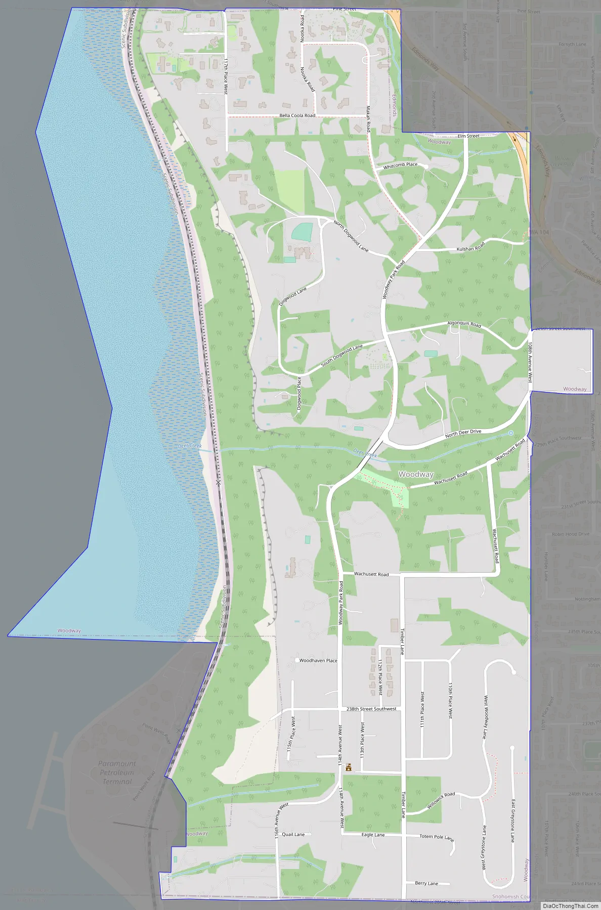
Woodway Road Map
Woodway city Satellite Map
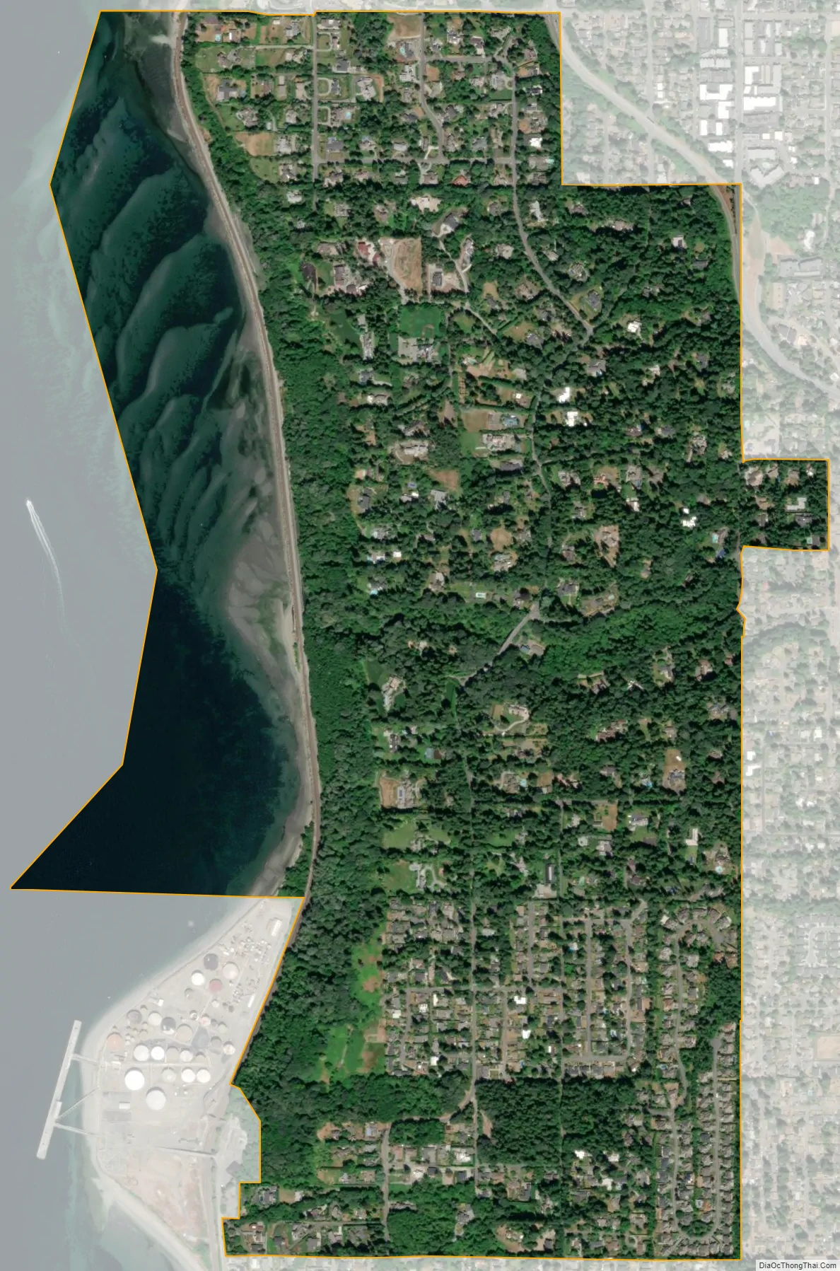
Geography
Woodway is located at the southwestern edge of Snohomish County, bordered to the north and east by Edmonds and the south by Shoreline in King County. Puget Sound lies to the west of the town, including an unincorporated area known as Point Wells.
According to the United States Census Bureau, the city has a total area of 3.90 square miles (10.10 km), of which, 1.11 square miles (2.87 km) is land and 2.79 square miles (7.23 km) is water.
See also
Map of Washington State and its subdivision:- Adams
- Asotin
- Benton
- Chelan
- Clallam
- Clark
- Columbia
- Cowlitz
- Douglas
- Ferry
- Franklin
- Garfield
- Grant
- Grays Harbor
- Island
- Jefferson
- King
- Kitsap
- Kittitas
- Klickitat
- Lewis
- Lincoln
- Mason
- Okanogan
- Pacific
- Pend Oreille
- Pierce
- San Juan
- Skagit
- Skamania
- Snohomish
- Spokane
- Stevens
- Thurston
- Wahkiakum
- Walla Walla
- Whatcom
- Whitman
- Yakima
- Alabama
- Alaska
- Arizona
- Arkansas
- California
- Colorado
- Connecticut
- Delaware
- District of Columbia
- Florida
- Georgia
- Hawaii
- Idaho
- Illinois
- Indiana
- Iowa
- Kansas
- Kentucky
- Louisiana
- Maine
- Maryland
- Massachusetts
- Michigan
- Minnesota
- Mississippi
- Missouri
- Montana
- Nebraska
- Nevada
- New Hampshire
- New Jersey
- New Mexico
- New York
- North Carolina
- North Dakota
- Ohio
- Oklahoma
- Oregon
- Pennsylvania
- Rhode Island
- South Carolina
- South Dakota
- Tennessee
- Texas
- Utah
- Vermont
- Virginia
- Washington
- West Virginia
- Wisconsin
- Wyoming


