Glennallen /ɡlɛˈnælən/ (Ciisik’e Na’ in Ahtna) is a census-designated place (CDP) in the Copper River Census Area in the Unorganized Borough of the U.S. state of Alaska. As of the 2020 census, the population of the CDP was 439, down from 483 in 2010. It is the most populated community in the census area.
| Name: | Glennallen CDP |
|---|---|
| LSAD Code: | 57 |
| LSAD Description: | CDP (suffix) |
| State: | Alaska |
| County: | Valdez-Cordova Census Area |
| Elevation: | 1,434 ft (437 m) |
| Total Area: | 115.60 sq mi (299.41 km²) |
| Land Area: | 115.07 sq mi (298.04 km²) |
| Water Area: | 0.53 sq mi (1.37 km²) |
| Total Population: | 439 |
| Population Density: | 3.81/sq mi (1.47/km²) |
| ZIP code: | 99588 |
| Area code: | 907 |
| FIPS code: | 0228740 |
| GNISfeature ID: | 1402643 |
Online Interactive Map
Click on ![]() to view map in "full screen" mode.
to view map in "full screen" mode.
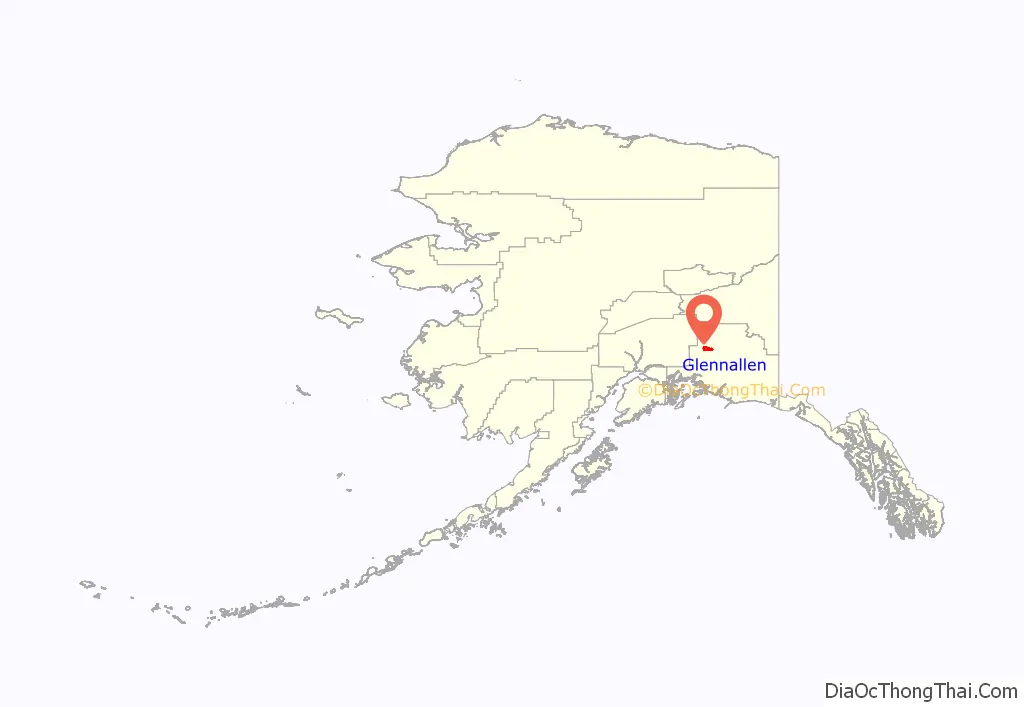
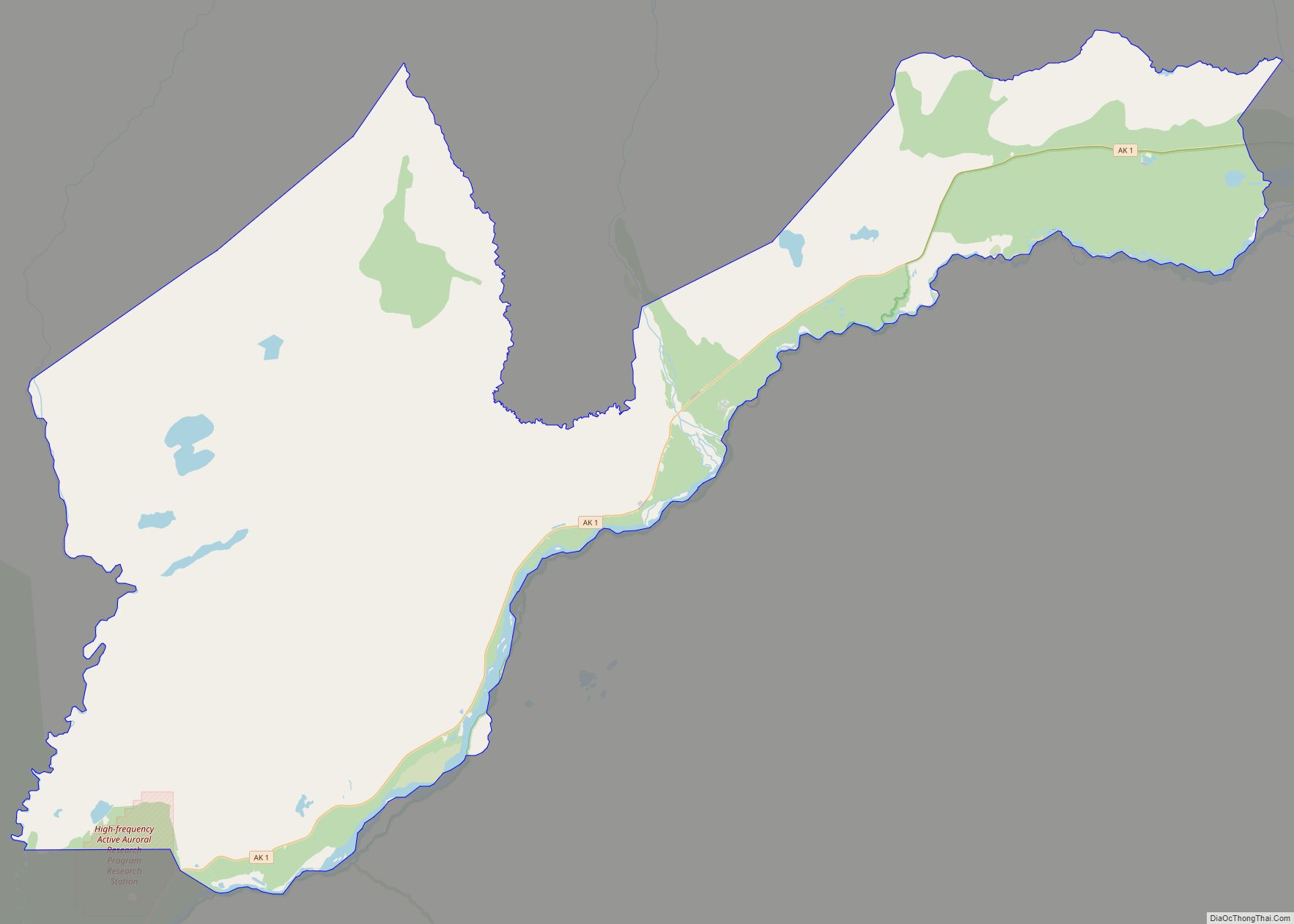
Glennallen location map. Where is Glennallen CDP?
History
In earlier times, the Ahtna Alaska Natives roamed the Copper River Valley in search of fish and game, both of which are usually plentiful there. Ahtna now live in several communities around Glennallen. In 1899, the U.S. Army built a pack trail for summer use between the port of Valdez and Eagle, which passed through the Copper River Valley. In the early 20th century, the trail was widened and became the Richardson Highway.
During World War II, the United States built a series of military bases in Alaska, primarily for the purpose of supplying aircraft and other war material to Russia by way of Alaska and the Russian Far East as part of the Lend-lease program. This made it difficult for the Germans to the west and the Japanese to the south of Russia to interfere with the supply operation. As part of this operation, highways were built to supply the bases. The major highway project of this effort was the Alaska Highway from Dawson Creek, British Columbia, Canada to the existing Richardson Highway at Delta Junction, Alaska and thus to Fairbanks via the Richardson Highway. Another project was the Glenn Highway, which connected Anchorage, Alaska’s largest city, with the Richardson Highway, and thus with the rest of Alaska, Canada, and the then-48 United States.
Construction for the Glenn Highway began at a camp on the Richardson Highway in the Copper River Valley named Glennallen after two U.S. Army explorers of the late 19th century: Capt. Edwin Glenn and Lt. Henry T. Allen. The highway was completed in 1945. Glennallen developed as a small community around the site of the camp. It became a commercial center for motor traffic along the Glenn and Richardson highways. It is one of the few communities in the region that was not built on the site of a Native village.
During the 1950s and 1960s, another highway, the Tok Cut-Off, was constructed from a point 15 miles north of Glennallen to the community of Tok, 135 miles east on the Alaska Highway. This enhanced Glennallen as a commercial center. Also, in 1956, a Jesuit school, Copper Valley School, was opened. This facility increased the population considerably by bringing to the region a number of staff and students from Holy Cross Mission in western Alaska. In 1961 “Glenallen” was officially renamed “Glennallen” by the US Postal Service, adding the extra ‘n’.
Glennallen’s economy grew with the construction of the Trans-Alaska Pipeline System from 1975–1977 and the continuing service needs of the pipeline. The economy of the area was negatively impacted by the construction of the George Parks Highway, which connected Anchorage to Denali National Park and Fairbanks along the Alaska Railroad route, bypassing Glennallen.
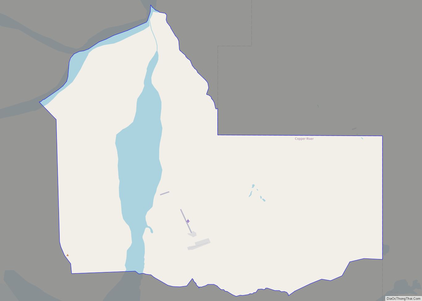
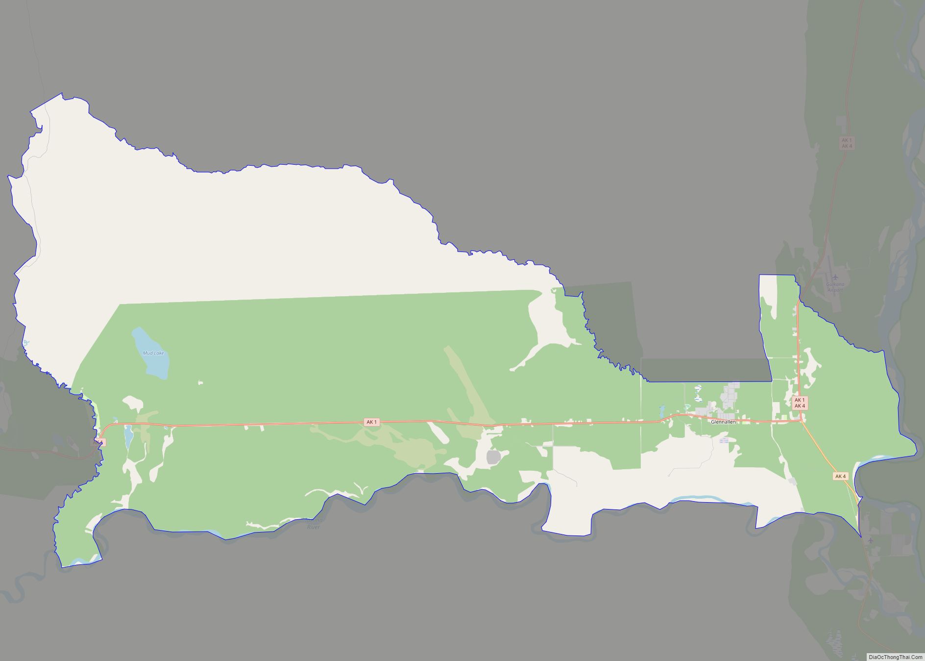
Glennallen Road Map
Glennallen city Satellite Map
Geography
Location
Glennallen is located at 62°06′33″N 145°32′47″W / 62.10917°N 145.54639°W / 62.10917; -145.54639 (62.109170, -145.54639; Sec. 23, T004N, R002W, Copper River Meridian), in the Chitina Recording District and Game Management Unit 13.
It lies along the Glenn Highway at its junction with the Richardson Highway, 189 road miles (304 km) east of Anchorage. It is just outside the western boundary of Wrangell-St. Elias National Park and Preserve.
According to the United States Census Bureau, the CDP has a total area of 114.9 square miles (298 km), of which, 114.1 square miles (296 km) of it is land and 0.8 square miles (2.1 km) of it (0.66%) is water.
Climate
Glennallen features a dry-summer subarctic climate (Köppen climate classification: Dsc) The city is located in the continental climate zone, with long, cold winters, and relatively warm summers. The mean temperature in January is -10 °F (-23 °C); in July, 56 °F (13 °C). However, temperatures can reach -60 °F (-51 °C) in winter and 90 °F (32 °C) in summer. Snowfall averages 39 inches (1 m), with total precipitation of 9 inches (23 cm) per year.
See also
Map of Alaska State and its subdivision:- Aleutians East
- Aleutians West
- Anchorage
- Bethel
- Bristol Bay
- Denali
- Dillingham
- Fairbanks North Star
- Haines
- Juneau
- Kenai Peninsula
- Ketchikan Gateway
- Kodiak Island
- Lake and Peninsula
- Matanuska-Susitna
- Nome
- North Slope
- Northwest Arctic
- Prince of Wales-Outer Ketchi
- Sitka
- Skagway-Yakutat-Angoon
- Southeast Fairbanks
- Valdez-Cordova
- Wade Hampton
- Wrangell-Petersburg
- Yukon-Koyukuk
- Alabama
- Alaska
- Arizona
- Arkansas
- California
- Colorado
- Connecticut
- Delaware
- District of Columbia
- Florida
- Georgia
- Hawaii
- Idaho
- Illinois
- Indiana
- Iowa
- Kansas
- Kentucky
- Louisiana
- Maine
- Maryland
- Massachusetts
- Michigan
- Minnesota
- Mississippi
- Missouri
- Montana
- Nebraska
- Nevada
- New Hampshire
- New Jersey
- New Mexico
- New York
- North Carolina
- North Dakota
- Ohio
- Oklahoma
- Oregon
- Pennsylvania
- Rhode Island
- South Carolina
- South Dakota
- Tennessee
- Texas
- Utah
- Vermont
- Virginia
- Washington
- West Virginia
- Wisconsin
- Wyoming
