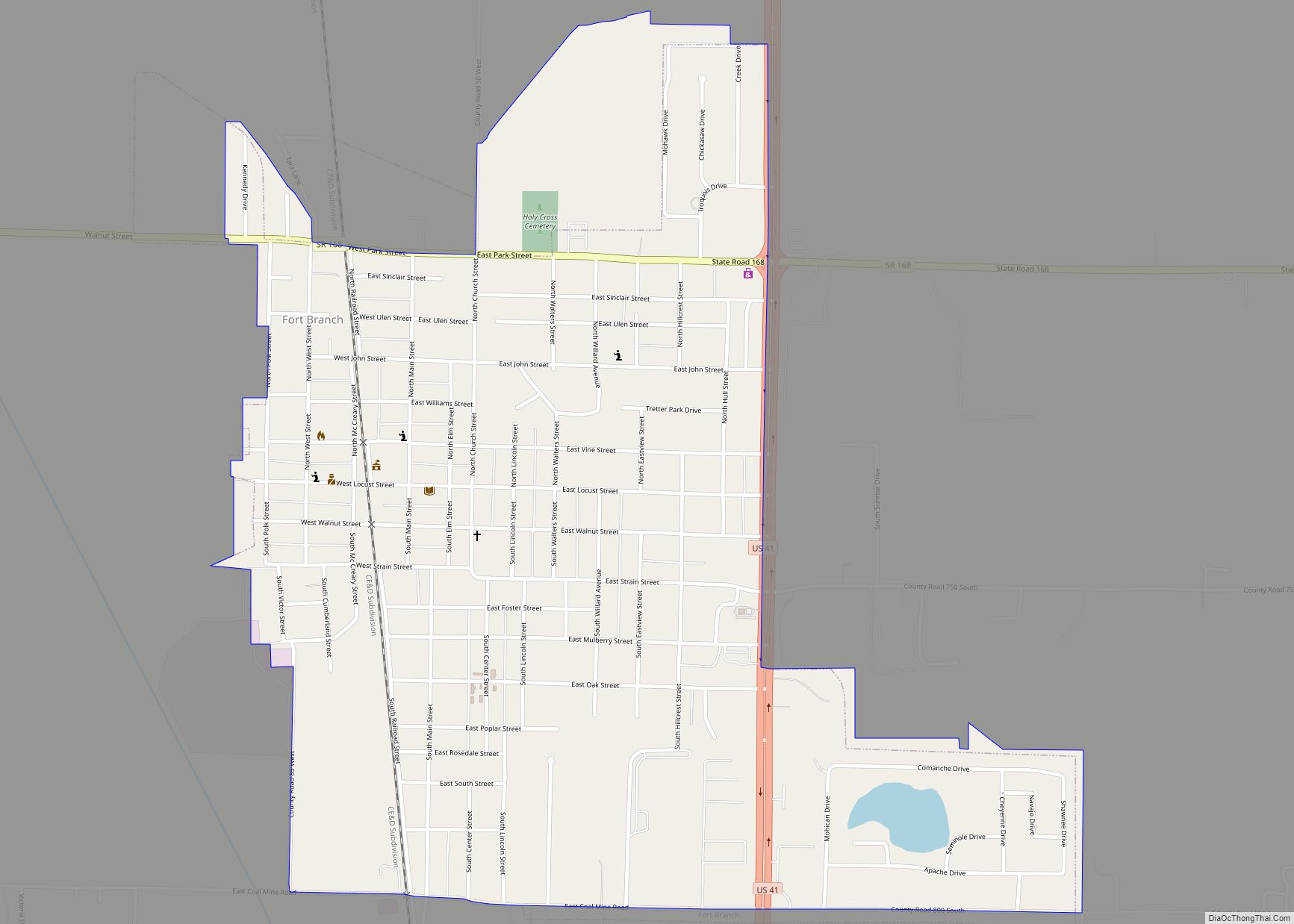
Fort Branch is the 3rd largest town and 3rd largest community in Gibson County, Indiana after Princeton and after Oakland City. The population was 2,771 at the 2010 census. It is part of the Evansville, Indiana, Metropolitan Area.
| Name: | Fort Branch town |
|---|---|
| LSAD Code: | 43 |
| LSAD Description: | town (suffix) |
| State: | Indiana |
| County: | Gibson County |
| Elevation: | 456 ft (139 m) |
| Total Area: | 1.10 sq mi (2.85 km²) |
| Land Area: | 1.09 sq mi (2.82 km²) |
| Water Area: | 0.01 sq mi (0.03 km²) |
| Total Population: | 2,965 |
| Population Density: | 2,725.18/sq mi (1,052.14/km²) |
| ZIP code: | 47648 |
| Area code: | 812, 930 |
| FIPS code: | 1824250 |
| GNISfeature ID: | 2396941 |
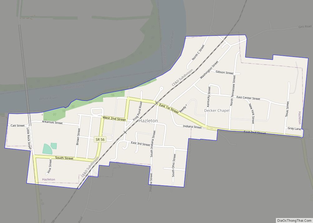
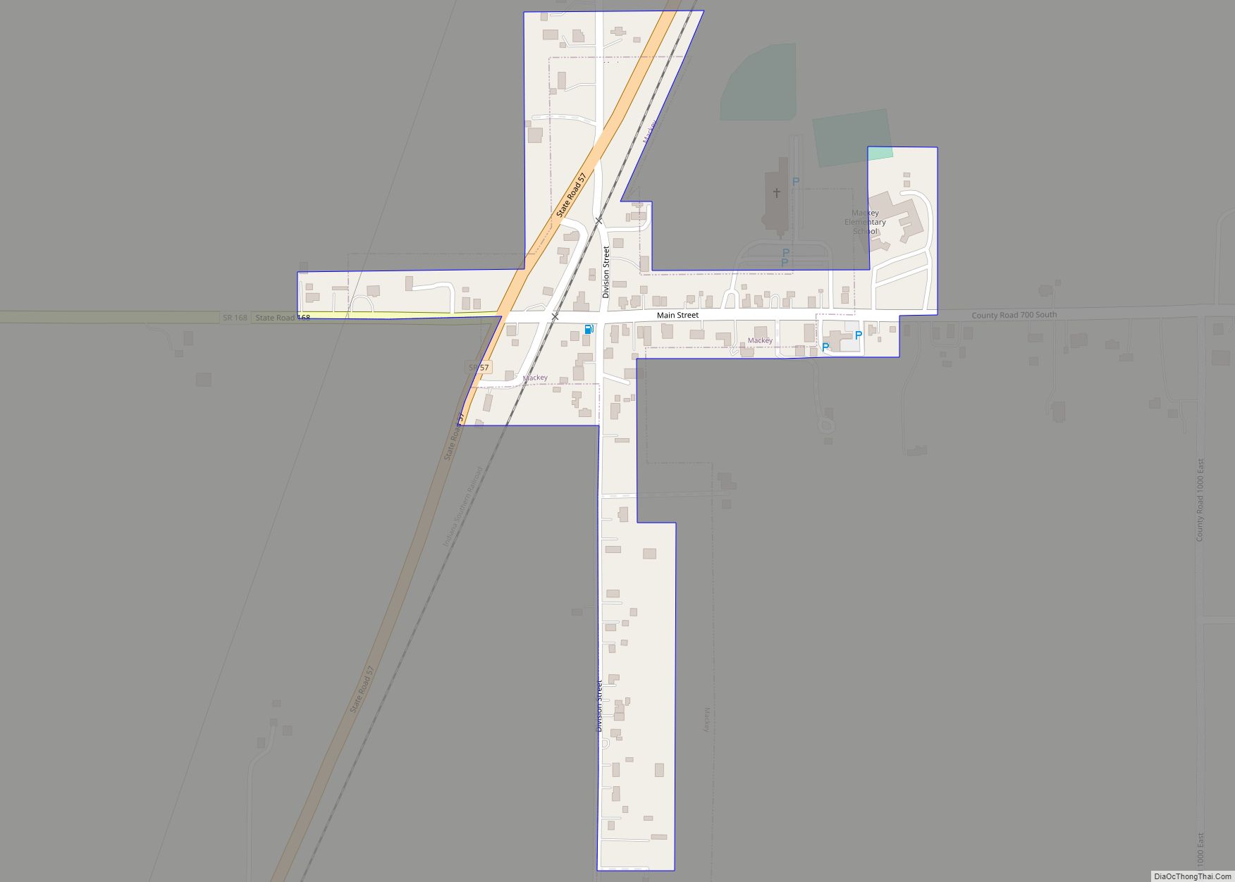
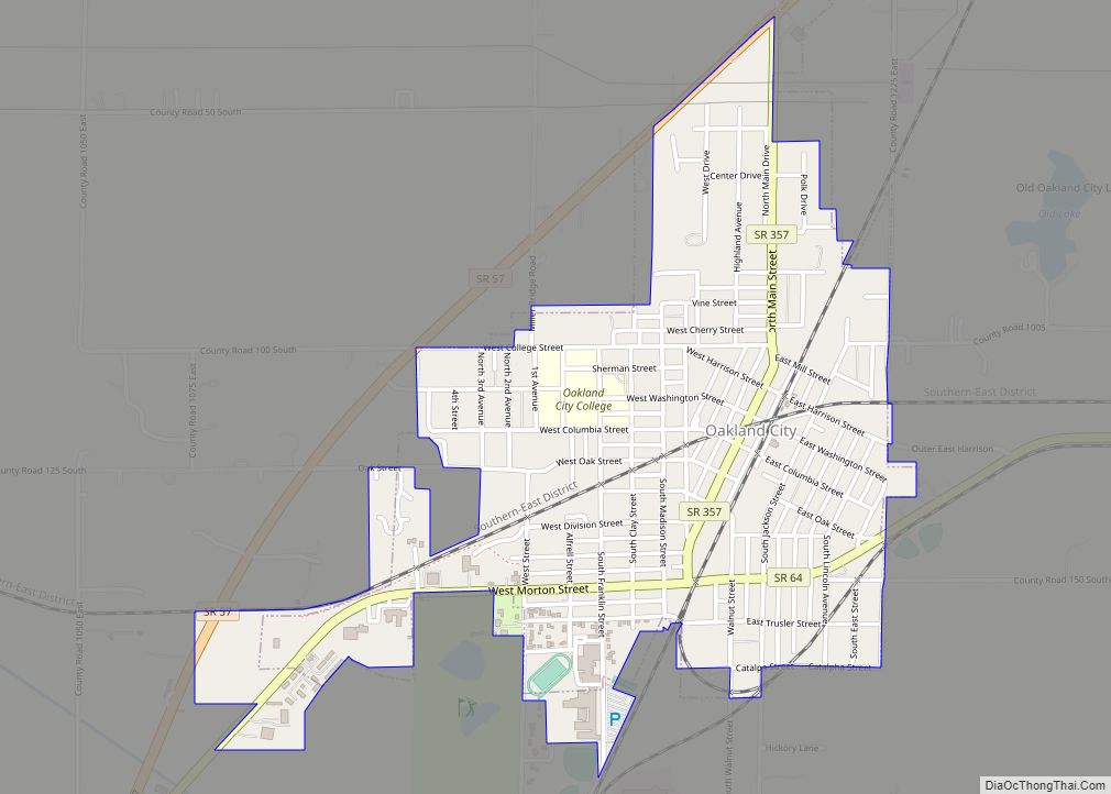
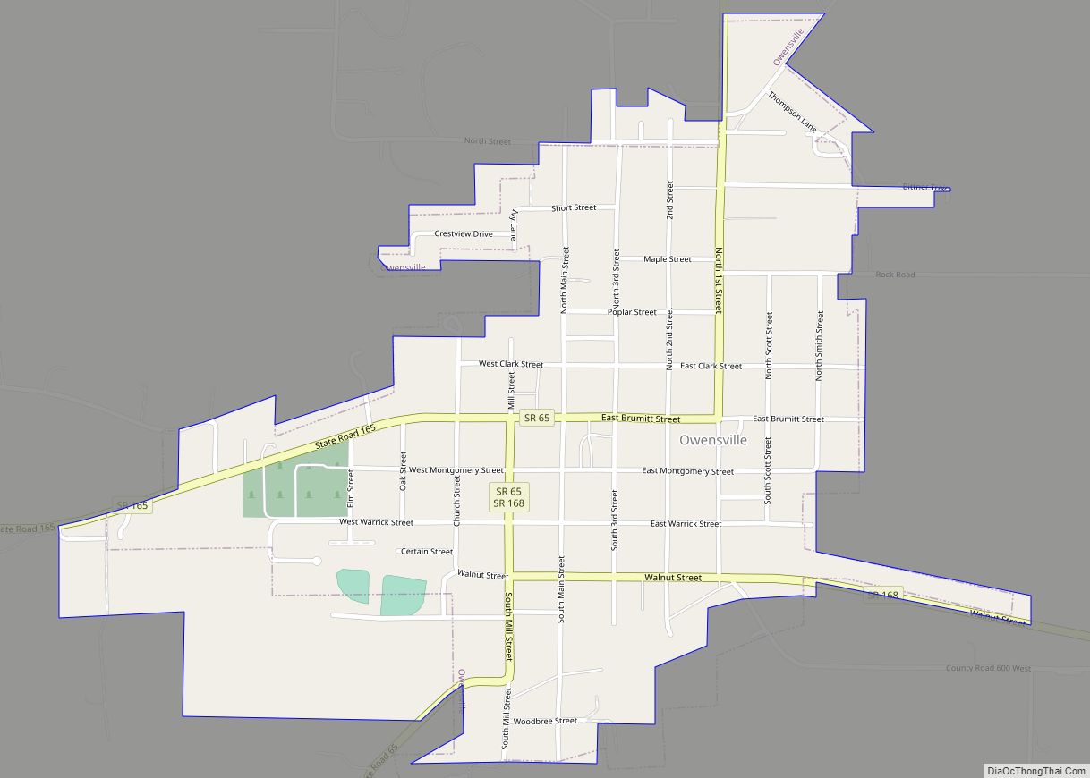
Online Interactive Map
Click on ![]() to view map in "full screen" mode.
to view map in "full screen" mode.
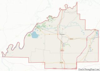
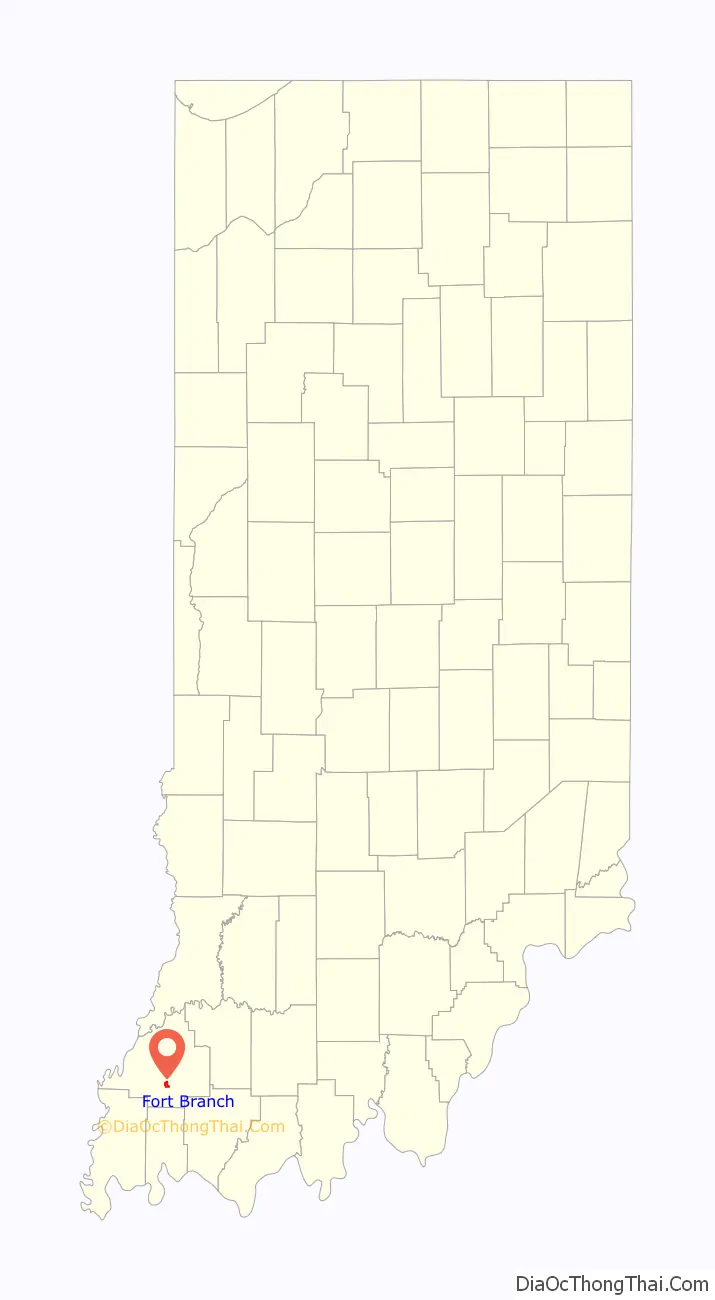
Fort Branch location map. Where is Fort Branch town?

History
Fort Branch had its start in the year 1852 by the building of the railroad through that territory. The town was originally called LaGrange, for the original owner of the site, but as there was another post office of that same name in Indiana, the town was renamed in commemoration of an old fort.
On April 3, 1989, an F3 tornado passed through the town causing between 5 and 50 million dollars in damage.
On February 28, 2017, an EF3 wedge tornado, originating in Crossville, Illinois, passed to the north of the town, destroying or heavily damaging several structures along Indiana 168.
Fort Branch Road Map
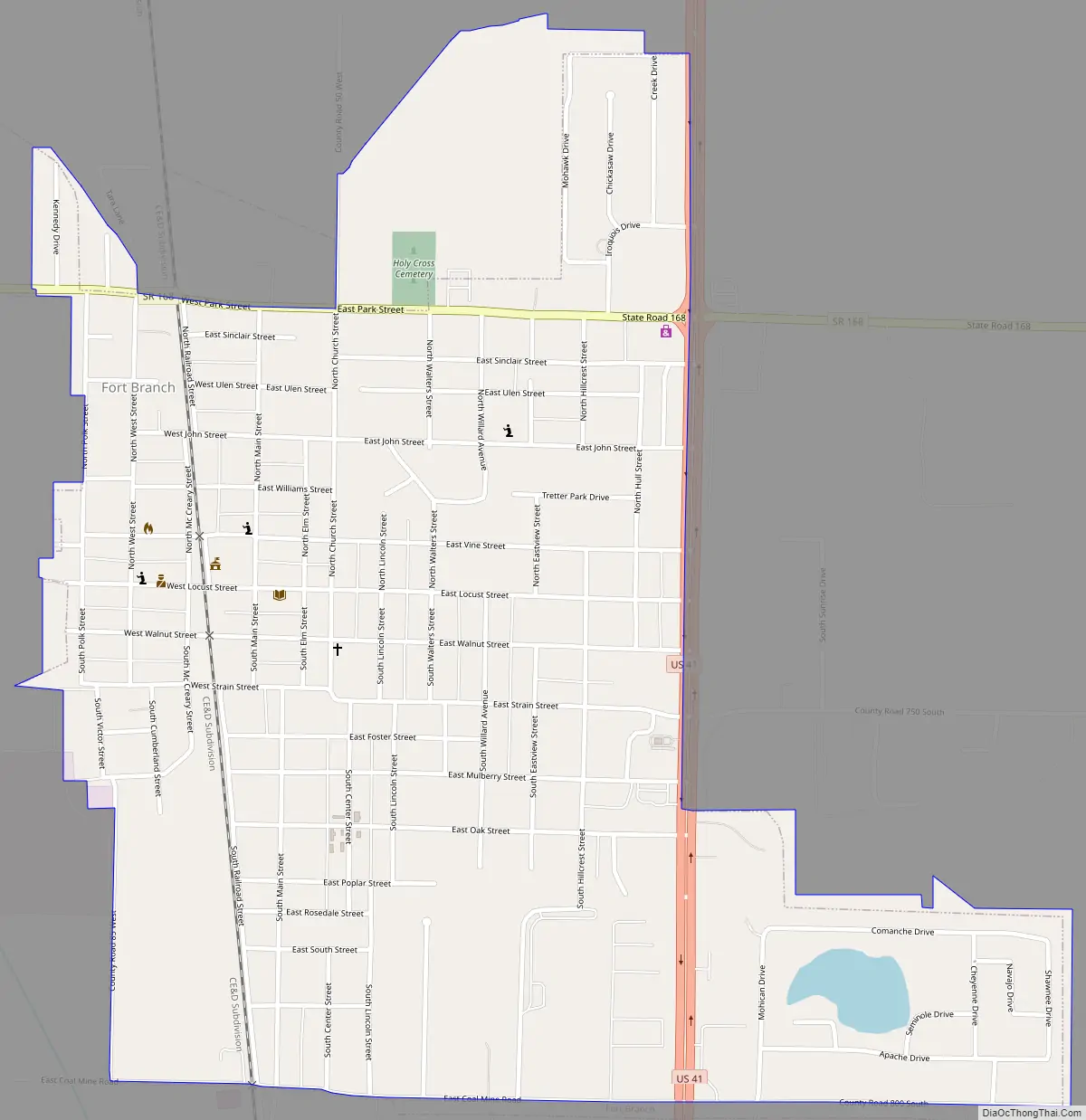
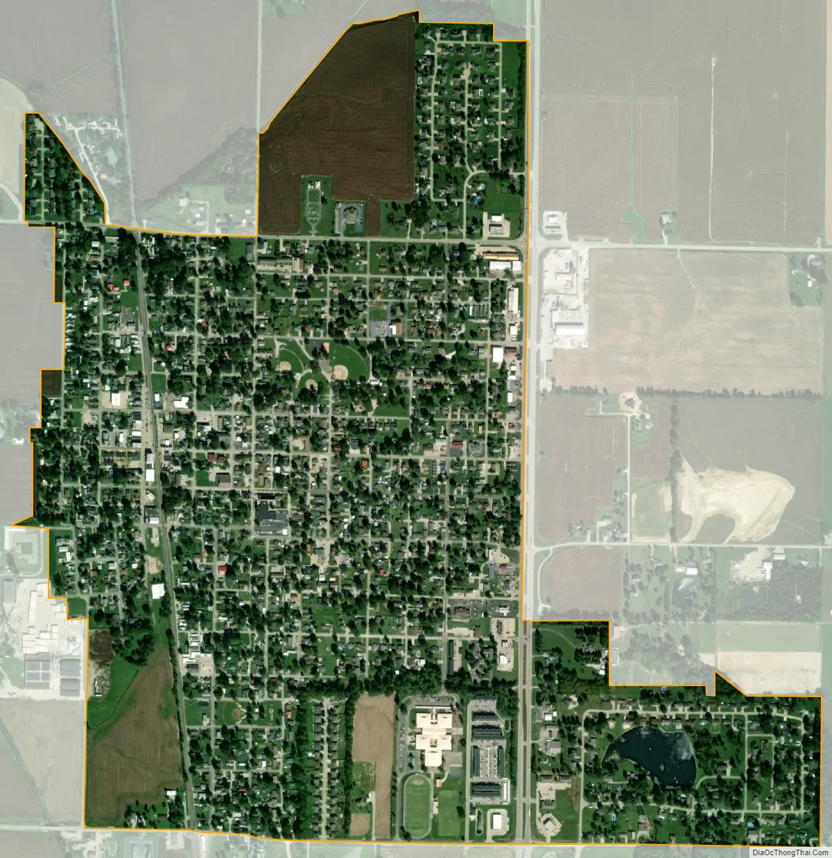
Fort Branch city Satellite Map
Geography
Fort Branch is located at 38°14′49″N 87°34′34″W / 38.24694°N 87.57611°W / 38.24694; -87.57611 (38.246872, -87.576003).
According to the 2010 census, Fort Branch has a total area of 1.11 square miles (2.87 km), of which 1.1 square miles (2.85 km) (or 99.1%) is land and 0.01 square miles (0.03 km) (or 0.9%) is water.
See also
Map of Indiana State and its subdivision:- Adams
- Allen
- Bartholomew
- Benton
- Blackford
- Boone
- Brown
- Carroll
- Cass
- Clark
- Clay
- Clinton
- Crawford
- Daviess
- De Kalb
- Dearborn
- Decatur
- Delaware
- Dubois
- Elkhart
- Fayette
- Floyd
- Fountain
- Franklin
- Fulton
- Gibson
- Grant
- Greene
- Hamilton
- Hancock
- Harrison
- Hendricks
- Henry
- Howard
- Huntington
- Jackson
- Jasper
- Jay
- Jefferson
- Jennings
- Johnson
- Knox
- Kosciusko
- LaGrange
- Lake
- Lake Michigan
- LaPorte
- Lawrence
- Madison
- Marion
- Marshall
- Martin
- Miami
- Monroe
- Montgomery
- Morgan
- Newton
- Noble
- Ohio
- Orange
- Owen
- Parke
- Perry
- Pike
- Porter
- Posey
- Pulaski
- Putnam
- Randolph
- Ripley
- Rush
- Saint Joseph
- Scott
- Shelby
- Spencer
- Starke
- Steuben
- Sullivan
- Switzerland
- Tippecanoe
- Tipton
- Union
- Vanderburgh
- Vermillion
- Vigo
- Wabash
- Warren
- Warrick
- Washington
- Wayne
- Wells
- White
- Whitley
- Alabama
- Alaska
- Arizona
- Arkansas
- California
- Colorado
- Connecticut
- Delaware
- District of Columbia
- Florida
- Georgia
- Hawaii
- Idaho
- Illinois
- Indiana
- Iowa
- Kansas
- Kentucky
- Louisiana
- Maine
- Maryland
- Massachusetts
- Michigan
- Minnesota
- Mississippi
- Missouri
- Montana
- Nebraska
- Nevada
- New Hampshire
- New Jersey
- New Mexico
- New York
- North Carolina
- North Dakota
- Ohio
- Oklahoma
- Oregon
- Pennsylvania
- Rhode Island
- South Carolina
- South Dakota
- Tennessee
- Texas
- Utah
- Vermont
- Virginia
- Washington
- West Virginia
- Wisconsin
- Wyoming