Francisco is the fifth largest town and seventh largest community in Gibson County, Indiana, United States. A town in Center Township, the population was 469 at the 2010 census and was founded in 1851. Local tradition says the town was named for its first settler, a Spanish laborer working on the Wabash and Erie Canal who built a shack in the area. It is part of the Evansville, Indiana, Metropolitan Area.
| Name: | Francisco town |
|---|---|
| LSAD Code: | 43 |
| LSAD Description: | town (suffix) |
| State: | Indiana |
| County: | Gibson County |
| Elevation: | 449 ft (137 m) |
| Total Area: | 0.62 sq mi (1.60 km²) |
| Land Area: | 0.61 sq mi (1.58 km²) |
| Water Area: | 0.01 sq mi (0.02 km²) |
| Total Population: | 545 |
| Population Density: | 893.44/sq mi (344.80/km²) |
| ZIP code: | 47649 |
| Area code: | 812, 930 |
| FIPS code: | 1825306 |
| GNISfeature ID: | 2396948 |
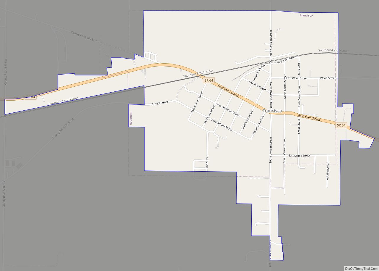
Online Interactive Map
Click on ![]() to view map in "full screen" mode.
to view map in "full screen" mode.
Francisco location map. Where is Francisco town?


History
The town was platted and laid out on the east side of the Wabash and Erie Canal by John Perkins in 1851. Francisco was incorporated in 1907 and the Francisco State Bank chartered a year later. Its heydey was in the mid-1850s during use of the ill-fated canal to ship goods and produce south to Evansville. Mills, grain warehouses and packing establishments thrived during the decade. Remnants of the old canal are still visible just south of Highway 64 and west of town.
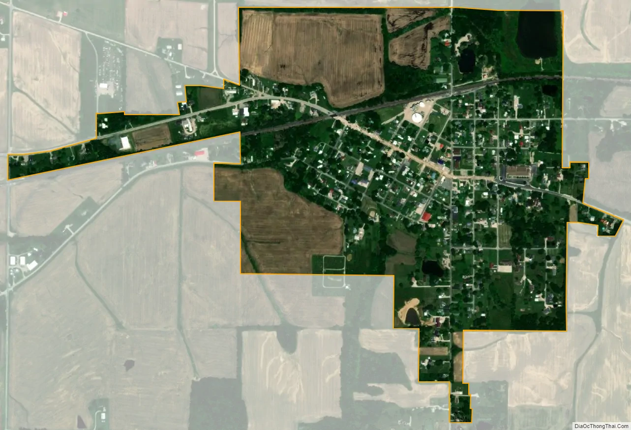
Francisco Road Map

Francisco city Satellite Map
Geography
Francisco is located at 38°20′0″N 87°26′50″W / 38.33333°N 87.44722°W / 38.33333; -87.44722 (38.333360, -87.447314).
According to the 2010 census, Francisco has a total area of 0.5 square miles (1.29 km), all land.
Francisco is located on State Highway 64 between Princeton and Oakland City.
As of the census of 2010, there were 469 people, 189 households, and 119 families residing in the town. The population density was 938.0 inhabitants per square mile (362.2/km). There were 226 housing units at an average density of 452.0 per square mile (174.5/km). The racial make-up of the town was 97.0% White, 0.2% African American, 0.2% Native American, 0.2% Asian, and 2.3% from two or more races. Hispanic or Latino of any race were 0.9% of the population.
There were 189 households, of which 30.7% had children under the age of 18 living with them, 52.4% were married couples living together, 5.8% had a female householder with no husband present, 4.8% had a male householder with no wife present, and 37.0% were non-families. 31.2% of all households were made up of individuals, and 17% had someone living alone who was 65 years of age or older. The average household size was 2.48 and the average family size was 3.18.
The median age in the town was 39.6 years. 25.8% of residents were under the age of 18; 5.1% were between the ages of 18 and 24; 26.8% were from 25 to 44; 26% were from 45 to 64; and 16.2% were 65 years of age or older. The gender makeup of the town was 47.8% male and 52.2% female.
See also
Map of Indiana State and its subdivision:- Adams
- Allen
- Bartholomew
- Benton
- Blackford
- Boone
- Brown
- Carroll
- Cass
- Clark
- Clay
- Clinton
- Crawford
- Daviess
- De Kalb
- Dearborn
- Decatur
- Delaware
- Dubois
- Elkhart
- Fayette
- Floyd
- Fountain
- Franklin
- Fulton
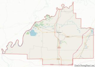
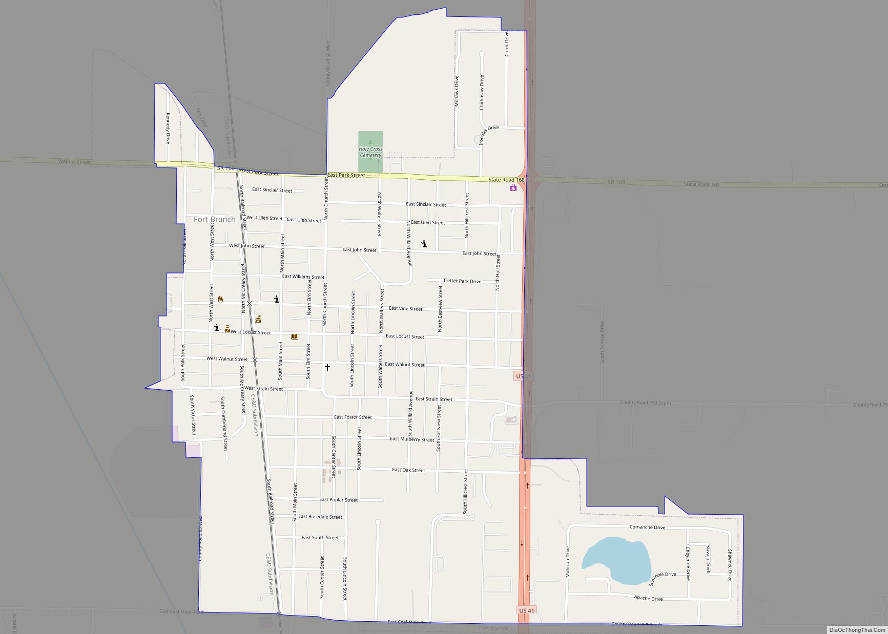
- Gibson
- Grant
- Greene
- Hamilton
- Hancock
- Harrison
- Hendricks
- Henry
- Howard
- Huntington
- Jackson
- Jasper
- Jay
- Jefferson
- Jennings
- Johnson
- Knox
- Kosciusko
- LaGrange
- Lake
- Lake Michigan
- LaPorte
- Lawrence
- Madison
- Marion
- Marshall
- Martin
- Miami
- Monroe
- Montgomery
- Morgan
- Newton
- Noble
- Ohio
- Orange
- Owen
- Parke
- Perry
- Pike
- Porter
- Posey
- Pulaski
- Putnam
- Randolph
- Ripley
- Rush
- Saint Joseph
- Scott
- Shelby
- Spencer
- Starke
- Steuben
- Sullivan
- Switzerland
- Tippecanoe
- Tipton
- Union
- Vanderburgh
- Vermillion
- Vigo
- Wabash
- Warren
- Warrick
- Washington
- Wayne
- Wells
- White
- Whitley
- Alabama
- Alaska
- Arizona
- Arkansas
- California
- Colorado
- Connecticut
- Delaware
- District of Columbia
- Florida
- Georgia
- Hawaii
- Idaho
- Illinois
- Indiana
- Iowa
- Kansas
- Kentucky
- Louisiana
- Maine
- Maryland
- Massachusetts
- Michigan
- Minnesota
- Mississippi
- Missouri
- Montana
- Nebraska
- Nevada
- New Hampshire
- New Jersey
- New Mexico
- New York
- North Carolina
- North Dakota
- Ohio
- Oklahoma
- Oregon
- Pennsylvania
- Rhode Island
- South Carolina
- South Dakota
- Tennessee
- Texas
- Utah
- Vermont
- Virginia
- Washington
- West Virginia
- Wisconsin
- Wyoming